


Looking towards Moel Goedog hillfort.

Looking towards Moel Goedog hillfort.

Looking towards what would be an ideal place for a cupmarked gorsedd, but isn’t.

Looking down on the Dwyryd estuary across the northwestern ramparts.

Looking along the ramparts towards prominent Foel Senigl.


At the highest part of the fort, crossed by the drystone wall, is a sub-circular feature. Maybe the remains of a hut circle, or even an earlier cairn?

Northeastern ramparts, looking towards the cloud-obscured northern Rhinogydd.

Approaching from the southwest along the line of standing stones. The eastern of the two ring cairns is just above and to the right of the sheep. The flank is marked with a number of curving features that appear to be man-made.

Looking across the Dwyryd estuary towards Moel y Gest. The large boulder on the right of the ring appears to be a recent incomer, as it’s not visible in the earlier TMA photos of the site.

Looking southwest towards Foel Senigl, which despite being a prominent landscape feature from all these sites below Moel Goedog has no monument of its own.

Moel Goedog east, unlike its partner this one is unexcavated and unrestored.

The prominent hill on the skyline is Foel Senigl. The stone-built bank of the cairn is really well defined.


Looking across the Dwyryd towards Portmeirion. No Moel Hebog or Yr Wyddfa today...

This superb ring cairn is built on a leveled terrace on the slope of Moel Goedog. Bemused locals look on.


The hill behind is Moel y Gerddi, this is looking southeast very approximately towards Bedd Gurfal stone circle.

The bullocks in Idwal’s photo have been replaced by punk sheep.

Looking northeast to Moel Goedog hillfort. Stone 3 is on the right over the fence. Stone 1 is (not visible) in the next field through the gate. The two ring cairns are not visible from here, on the slopes of Moel Goedog.

Stone 2, looking southwest. The hill on the right is Foel Senigl, between here and there are four more standing stones.

Stone 2. The stone pile in the background is field clearance.


Chris paces the diameter in megalithic yards.

Looking east across the site towards Y Gyrn.

Some substantial masonry in the outermost wall.

Looking down on Maes y Caerau from Y Gyrn, with the Dwyryd estuary beyond. Moel y Gest can be seen through the gloom across the river to the left of centre, above the Italianate uber-folly of Portmeirion.


The scene turned nearly monochrome.


Looking SSW, the sun briefly lighting the slopes of Moel y Geifr.
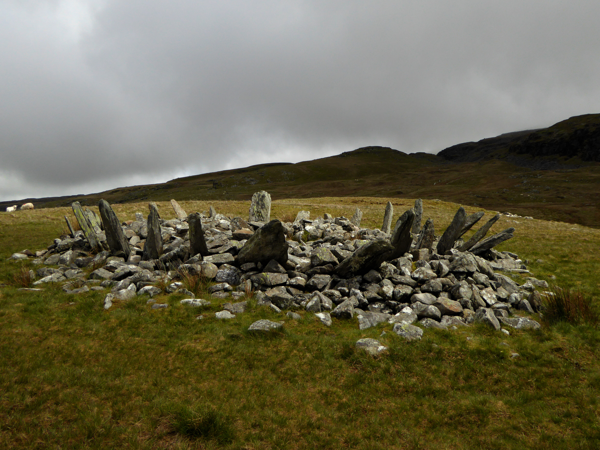
The dark ridges of the Rhinogydd glower down on the monument.

The enclosed group, overlain with sheepfolds, can be seen on the hillside to the right of centre. The viewpoint is the extraordinary Bryn Cader Faner cairn.

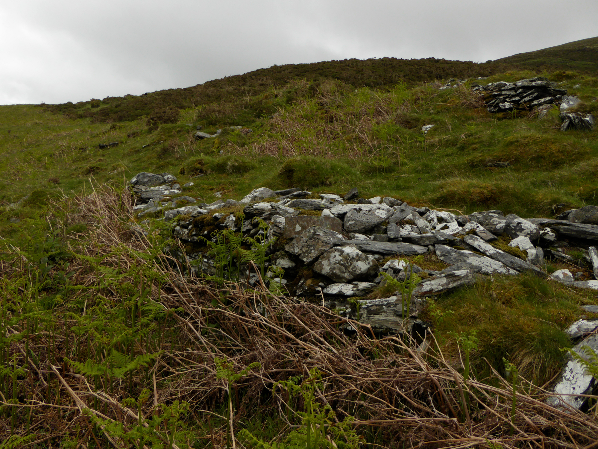
Dramatic setting for the hut circle at SH64423549. On a better day the views would be of the mountains east of Blaenau Ffestiniog and on towards Moel Siabod.

Well-preserved hut circle at SH64423549.

The northern end of the settlement, looking NNE. Tumbled walls can be seen in the foreground.


