
13th March 2012
Image credit: Michael Mitchell
13th March 2012

13th March 2012

13th March 2012

13th March 2012

13th March 2012

13th March 2012

13th March 2012
13th March 2012

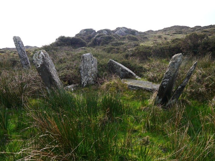
Looking south, the leftmost stone is an outlier
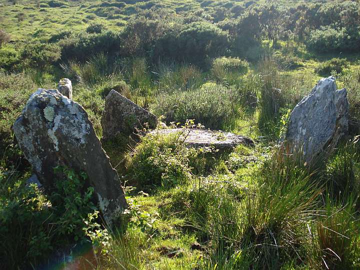
Looking southwest

Looking rougly southeast


