Carrigfadda dominates the skyline to the northeast.
Image credit: Gordon Kingston
Carrigfadda dominates the skyline to the northeast.

The eastern horizon; from Carrigfadda to the peak of Corran hill.

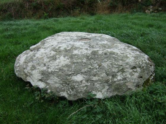
The flat top of the upright pillar.

Looking Northeast, along the axis line of the upright pillar, towards Carrigfadda. Cloud-cover has obscured the mountain.

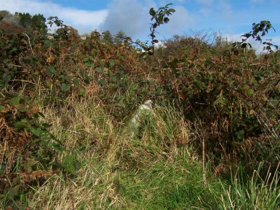
Looking Southeast along the length of the prostrate stone. The cup marks, judging by Roberts’ sketch, should be somewhere under the bush at the rear.
A low, upright pillar, jutting from the rushes and bushes. Then, behind this growing screen, a vast recumbent slab; 2.7m long, 2m wide and 1.45m thick*.
Recorded in the Archaeological Inventory, following local tradition, as a mass rock, it may eventually provide an interesting comparison to a similarly classed and cup-marked boulder at Coorleigh South. Due to the heavy scrub on the south-eastern side of the stone, Jack Roberts’ sketch remains the only visual record of the marks or ‘circular depressions’**.
The fallen part of a NE-SW stone pair, if position and local morphology (Knockatlowig, Knockawaddra W) are taken into account.
*Archaeological Inventory of Cork, 1992; No.3271, 354.
**Roberts, J., ‘Exploring West Cork’, 1988; Ch.2, No.12, 53.