Looking southwest
Image credit: Uwe Häberle 05/2009
Looking southwest

Looking south

Looking northeast
Looking northwest
2014 update: there’s now a house at the very end of the track, beyond the farm, and it looks as if there may be plans to build in the field containing the circle (it has a well defined track and a small levelled area.)
This circle lies in a tributary valley of Shehy Mountains formed by Owenbeg River. To find the circle, drive the R584 from Keakil to Gougane Barra and watch for a lane on the left hand, that climbs uphill approximately 2km behind Carriganass Castle. At around 3.6km the lane forks, follow the right track and after about 5km (from R584) the lane ends at a farm on the left hand side. Park here and ask for permission. The circle lies in the field behind the farm, there is a gate between the farmhouse and a barn, use this to enter the field. There you should see the circle downhill.
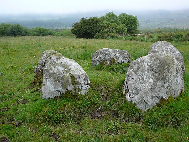
This circle is a dinky little five stone circle, it’s stones vary marginally in size and none is higher than 1m. This and the location of the circle (more in a hollow) reminds me a bit of Cousane. Burl mentions long views down the valley, which is true for the northwest in some degree, but in the southwest there is a reforested little wood that blocks the sight.
Nevertheless not a spectacular ring, but worth the short trip if you are in the area.
Visited May 2009