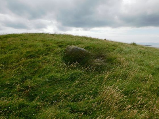
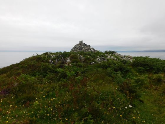
It isn’t connected to the grass in the top half of the photo, a nasty drop, a wee valley, then a climb to get over there.
Image credit: drew/AMJ

It isn’t connected to the grass in the top half of the photo, a nasty drop, a wee valley, then a climb to get over there.

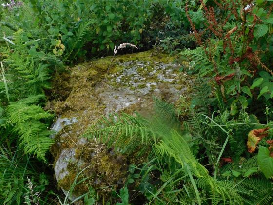
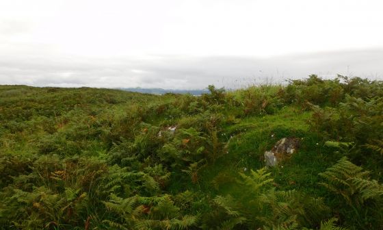
The south west, remnants of walling.

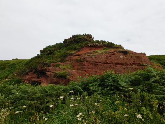
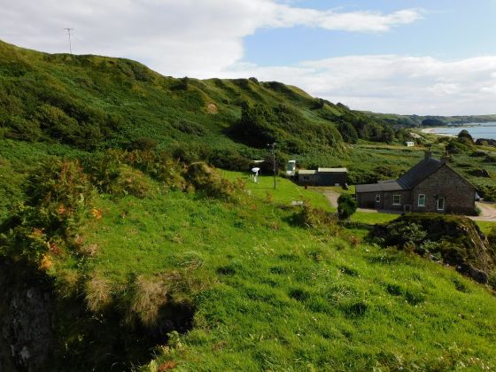
The south east corner, the drop is higher than it looks.

The southern half of the dun.

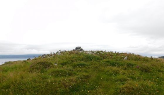
North side on top of the dun, lots of scattered stone.

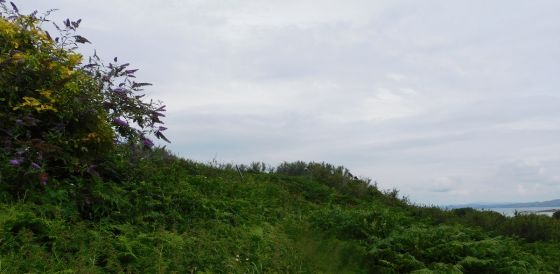
The way up – north side, half way up.

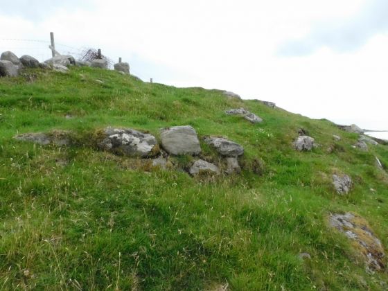
The most likely entrance to the dun, more bits of stonework.

Near the dun’s entrance, one or two bits of decent wall remain.

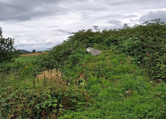
On the north side, the way up to the entrance.

The south part of the east side.

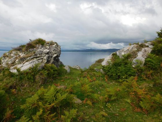
Decent natural defence on the west.

Furthest west part of the dun.

From the west side.

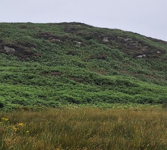
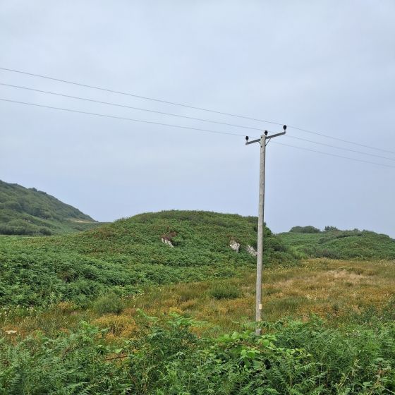
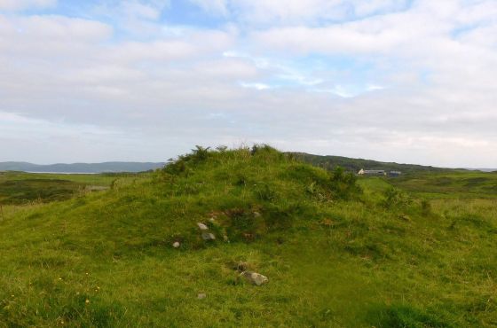
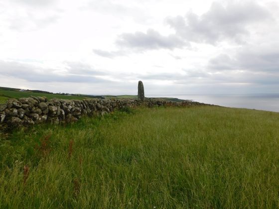
Actual grid ref is NR6337945650, this from the east.