Rangag Standing Stone viewed from S.
Image credit: Mark Johnstone
Rangag Standing Stone viewed from S.

Rangag Standing Stone viewed from W.

Rangag Standing Stone viewed from E.

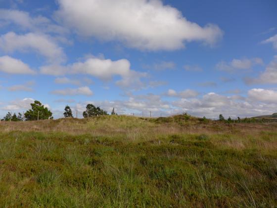
Rangag West Standing Stone viewed from W.

Rangag West Standing Stone viewed from N. The c. 10 degree lean and the ovine guards are evident.

Rangag West Standing Stone viewed from E. Note the packing stones at the base.
Visited 06.09.21
Rangag West Standing Stone is still maintaining its E lean as noted in passing by from Thurso.
Rangag West Standing Stone is erected c. 30 yards N of Rangag Farm on the A9, about 7.5 miles N of Latheron on the A9. The tall stone can easily be seen from the A9, 40 yards to the E.
The stone is a square pillar measuring c. 9.5 feet high with a 2.75 x 2.75 feet cross-section according to Canmore ID 8274 (go to Links). It has a c. 10 degree lean to the E. Some packing stones have been placed on the E base to support the heavy stone which is securely earthfast.
My visit was in 2012 however it is still visible on Google Maps Street View so I assume the leaning Rangag West Standing Stone is still standing.
Rangag East lies 0.5 mile E up the track which starts at Rangag Farm. It is listed under Canmore ID 8222 (go to Links) as Rhianacoil.
Directions: The stone is on the A9 7.5 miles N of Latheron beside Rangag Farm. There is room to park near the farm to take a closer look. To reach Rangag East follow the straight track at the N end of Rangag Farm for about 0.5 mile. Rangag East is within 10 yards of the track on the right c. 30 yards before a fork in the track. (I haven’t visited Rangag East. The directions were taken from OS mapping using Canmore’s Grid Reference.)
Street View of Rangag West
Rangag East (Rhianacoil) Standing Stone
Rangag West Standing Stone