Archive picture showing the view across the field towards the fort, taken from the road to the north. The foreground is occupied by the “lost” long barrows that have given rise to the amazing finds in 2013.
Image credit: A. Brookes (8.6.2011)
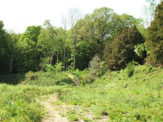
Archive picture showing the view across the field towards the fort, taken from the road to the north. The foreground is occupied by the “lost” long barrows that have given rise to the amazing finds in 2013.

Dorstone Hill from the SW. The fort is hidden by trees at the right-hand end of the hill.