
The atmosphere might well have been a little, er, ‘fraught’ if the respective neighbours weren’t friendly back in the day, the air as ‘blue’ as the gaps between the receding storm clouds are today.
Image credit: Robert Gladstone
The atmosphere might well have been a little, er, ‘fraught’ if the respective neighbours weren’t friendly back in the day, the air as ‘blue’ as the gaps between the receding storm clouds are today.

The cheveux-de-frise.... I was just beginning to doubt the other lads when there it was.... covering the approach of (otherwise) least resistance to approach south-west. First place you’d look, to be fair.


A cairn stands at the highest point of the enclosure.... unfortunately the base construction didn’t suggest a prehistoric origin to me.

The hill fort occupies a prime position overlooking the iconic River Tweed.

Highlighting the additional defences covering what must have been the ‘easiest’ approach to SW.

Dreva Craig is the easist of the trio of local forts to visit... as evidenced by my car, beyond. Hey, there’s a proper parking spot and stile.... one for the adventurous family outing. Those with more time note that the 1:25K map shows another small settlement at the antennae upon Dreva Hill.

The little village of Drumelzier can be seen upper centre left beneath the equally fine hillfort of Henry’s Brae.

14/03/2012 – Settlement below Dreva Craig hillfort

14/03/2012 – Dreva Craig hillfort

14/03/2012 – Chevaux de frise protecting Dreva Craig hillfort

14/03/2012 – Dreva Craig hillfort

14/03/2012 – Dreva Craig hillfort
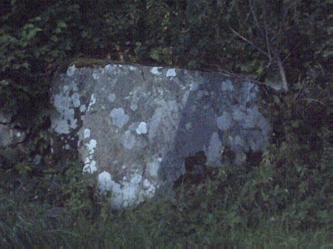
Merlin’s mighty roadside Altarstone now assimilated into the roadside wall on the Dreva Road.

Later dwelling inserted into the hillfort wall.

14/03/2012 – Howburn Digger is right, this place is a cracker. In an area covered in hillforts, if you were wondering where to go, you could do worse than start with this one. Very good access and the location of the fort is fantastic, over looking where Biggar Water and Holms Water meet the River Tweed. The fort itself is protected by a chevaux de frise and just north is the remains of a settlement. A very good site indeed. Easy to lose a few hours here.
Dreva Craig – Wednesday 8 September 2010
This site is a cracker. Not least because it nestles on its hilltop, a mere two minute walk from the road (a very handy wee car park and fence stile). The fort is surrounded by many upright stones which form a chevaux de frise along most of the approaches. The chevaux de frise has survived incredibly well considering its closeness to the cleared pasture fields (with their excellent dry stane dykes) which surround it. Once I’d manouevred my way to the tumbled defense walls I found myself staring into the remains of some dwellings which had been inserted into the thick stonework. The view from the highest point inside the fort is spectacular.
There are steep crags which would have needed little in the way of defence construction on the Drumelzier side of the fort. The village of Broughton is only three or four minutes away in the opposite direction but this fort seems more to do with tiny Drumelzier across the Tweed in the valley below.
The twin forts of Tinnis Castle Hill and Henry’s Brae sit perched on their conjoined hilltops across the other side of the Tweed beyond Drumelzier. Below, where the Drumelzier Burn flows into the Tweed, I could see the Whitethorn tree which marks Merlin’s grave. On the way up the Dreva Road, I passed Merlin’s huge, flat-topped altarstone by the roadside at Altarstone Farm. Far below and halfway down the Tweed to the altarstone sits the lonely menhir on Drumelzier Haugh. Folklore, Prehistory, Iron Age, Medieval. A very busy little stretch of my corner of Scotland.
I watched the sun set somewhere over behind the hills near Kilbucho and headed back home for hot chocolate and bed.


