July 2014
Image credit: Michael Mitchell
July 2014

July 2014

July 2014

July 2014

July 2014


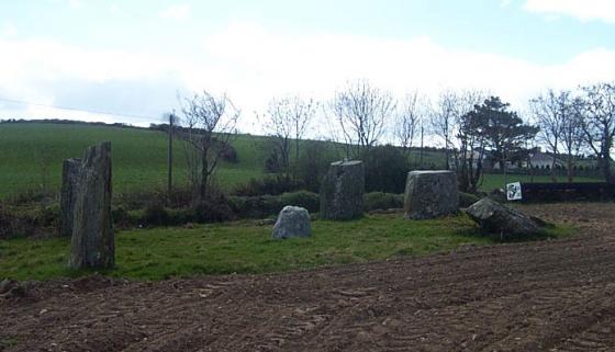
Underneath here are three stones; one definite upright, one possible and one possibly fallen.
Using the largest stone as a backrest, the view of the line back to Maulatanvally.

Looking south, in the direction of the Glashagleragh river valley.

The moon shall shine with a brightness like the sun’s, and the sun with seven times his wonted brightness, seven days’ light in one,..
Isaiah 30; 26.

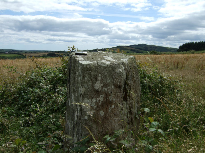
A very tall stone.

Looking southwest. Carrigfadda is the taller hill to the rear. Maulatanvally is to the left.

Looking North... at the forestry

As they skiff across the water, triple stones.
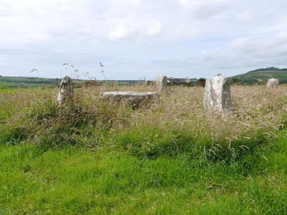
This fine alignment, looking like nothing so much as the plates of a submerging dinosaur, nestles on a plateau just south of the forestry on the other side of the hill from the four-poster at Lettergorman N. Lettergorman S is downhill slightly to the southwest, in the first field beyond the townland boundary.
The tallest stone, a fin-shaped pillar almost 3 metres tall, is at the northeast of the row. The middle stone is a straightforward block, and the southwesterly stone, possibly others, are obscured in a wig of dead vegetation.
The row is aligned, looking in this direction (and fairly unremarkably), on the eastern slope of the hillock of Maulatanavally. Clive Ruggles (Astronomy in Prehistoric Britain and Ireland, 1999; 220) mentions a direct alignment in the opposite direction, to a hilltop to the northeast, but the forestry wall has cut off any sight of this. The views would seem to have been extensive in all directions before the plantation.
A word of warning. Due to unbelievably sodden ground in the approach from the west in wintertime it may be wiser to come at it via the farm to the east.