Showing 1-50 of 1,267 posts. Most recent first | Next 50 
|
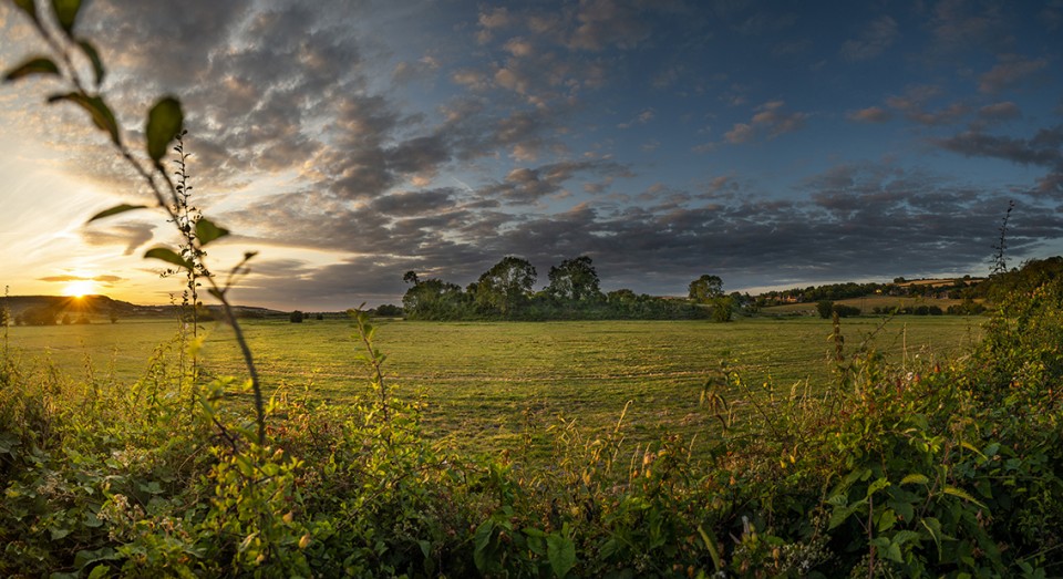
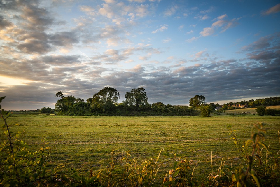
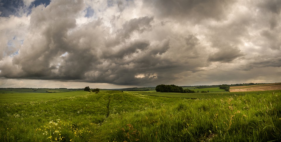
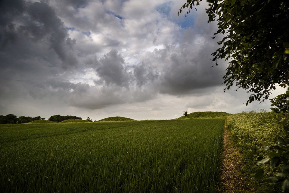
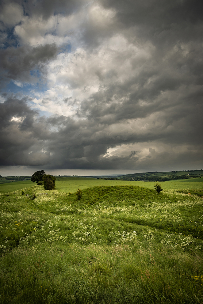
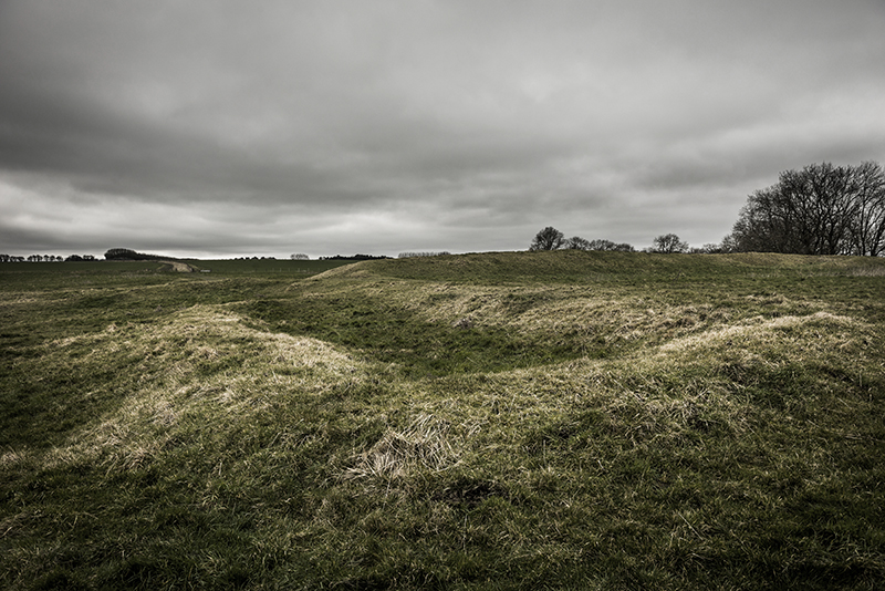
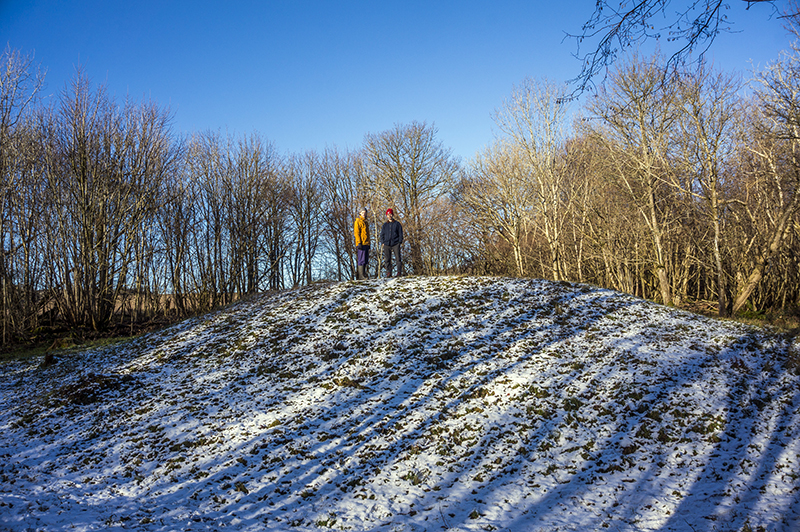
As Carl says, there's not a great deal to see here as the interior of the fort has been used for farming for centuries and any trace of earthworks at the Northern end near the pub have all but disappeared. No other earthworks were necessary as when this fort first came into being it would have been surrounded on three sides by either the sea or the flood plains of the River Arun. Indeed the Arun and one of it's tributaries still surround it. Later on it was a Saxon Burh and now just adjoined to a quaint little Sussex village, though worthy of being bombed by the Luftwaffe in WW2 apparently.
|
| |