As Carl says, there's not a great deal to see here as the interior of the fort has been used for farming for centuries and any trace of earthworks at the Northern end near the pub have all but disappeared. No other earthworks were necessary as when this fort first came into being it would have been surrounded on three sides by either the sea or the flood plains of the River Arun. Indeed the Arun and one of it's tributaries still surround it. Later on it was a Saxon Burh and now just adjoined to a quaint little Sussex village, though worthy of being bombed by the Luftwaffe in WW2 apparently.
Directions:
From the pretty town of Arundel take the minor roads north east to the delightful village of Burpham. Park next to the church and take the footpath opposite which leads past the George and Dragon pub and the village hall. Follow the obvious (but muddy) path on past the small play ground and out onto the Promontory Fort.
Fortunately the snow and rain we encountered on our way south had relented and all was dry if overcast. Karen and the children opted to stay in the car while I headed out alone.
Although there is little/nothing to be seen of the fort it is still a lovely place to visit.
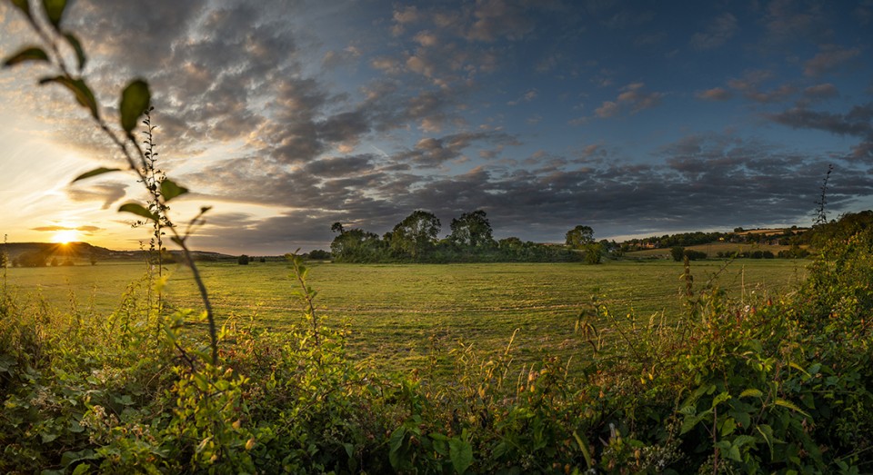
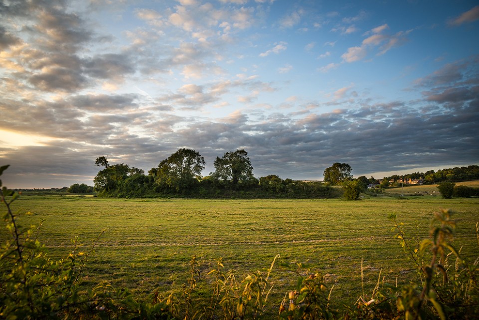
It was a very quiet spot except for the shotguns going off in the distance. I startled several rabbits and pheasants on my approach. There are decent views to be had all around.
As for the Fort itself there was nothing I could see in the way of defences.
Although not raised very high above the surrounding area the natural steepness of the banks seem to have been the main defence? I could see no sign of ant extra ditches/ramparts etc.
Worth a visit for the surroundings more so than for any archaeological remains.

 Posted by A R Cane