Showing 1-50 of 1,526 posts. Most recent first | Next 50    
|
          
|
    
|
   
|
|
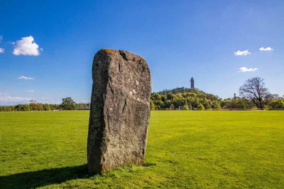
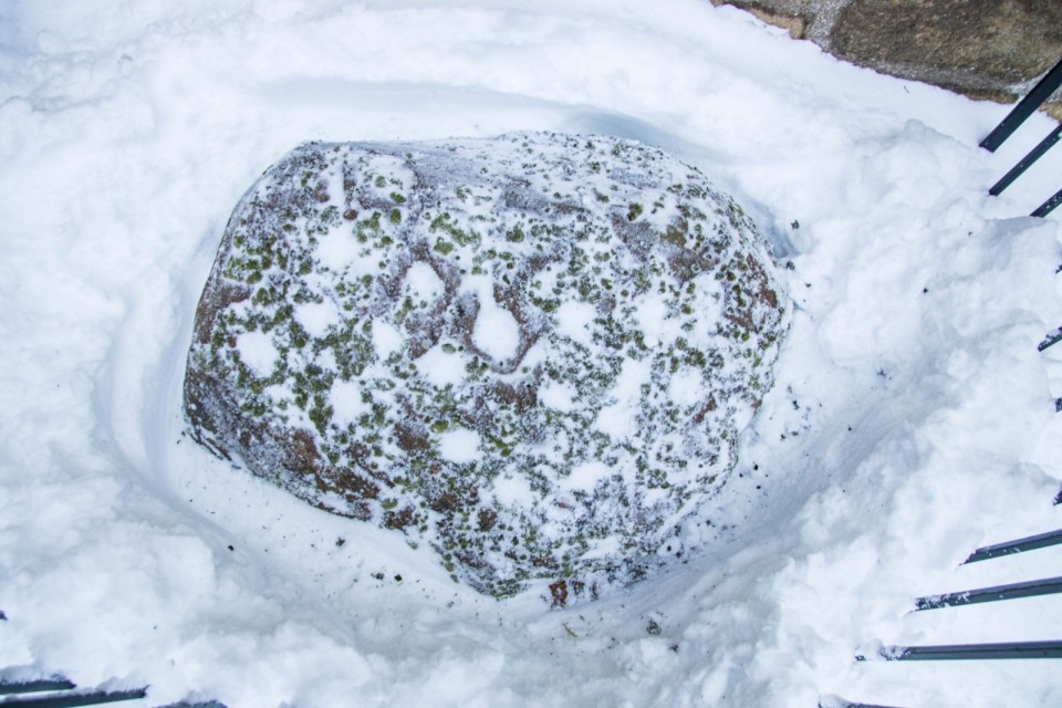
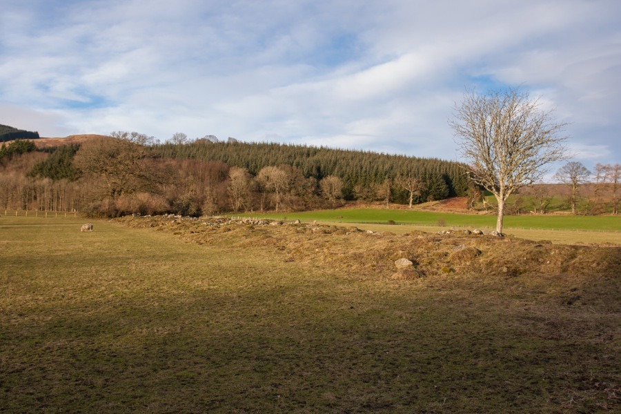
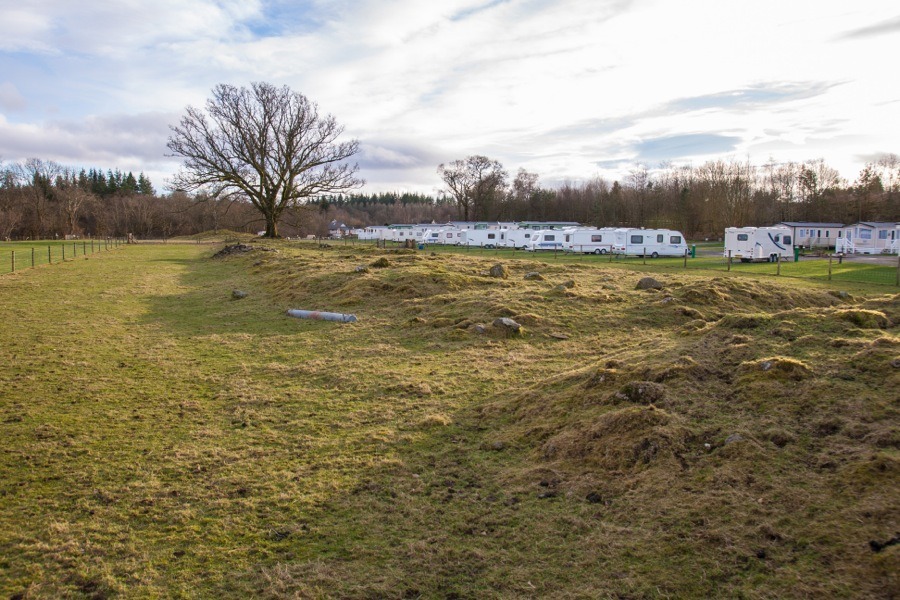
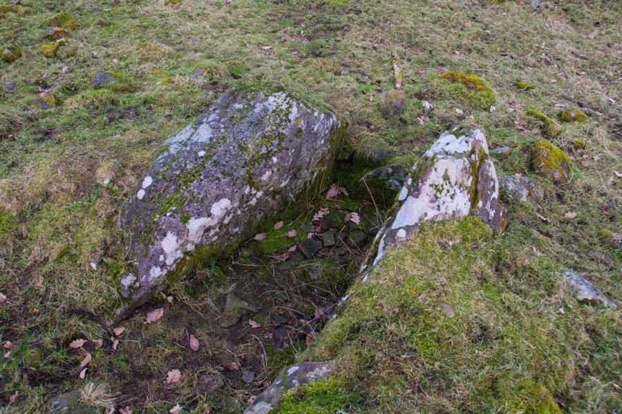
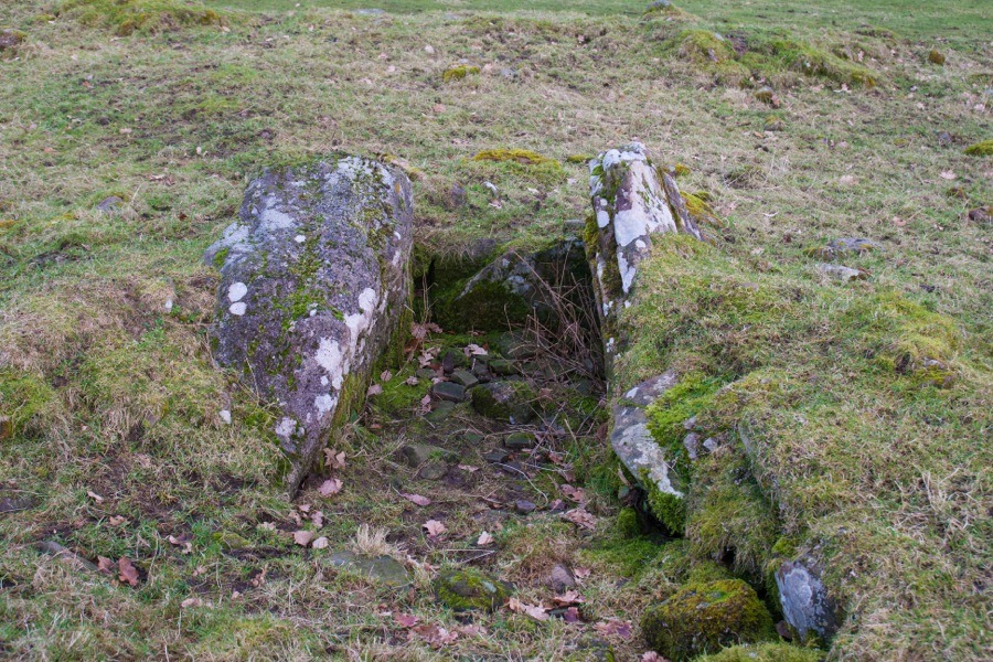
A sandstone boulder decorated with 17 cup-marks on its upper surface and measuring around 0.7m by 0.8m can be found in an area of rig and furrow cultivation here.
|
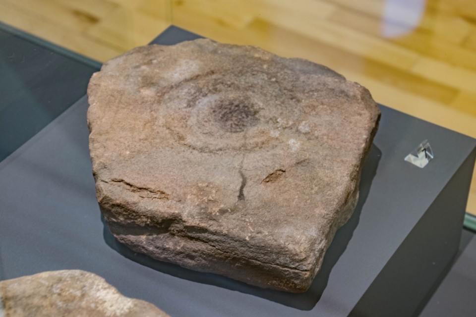
A piece of sandstone carved with a cup mark surrounded by two concentric rings was found on the ground just south-west of the ramparts of Finavon fort in 1987.
Measuring around 0.28m by around 0.25m, it is now housed in the McManus Galleries in Dundee.
|

|
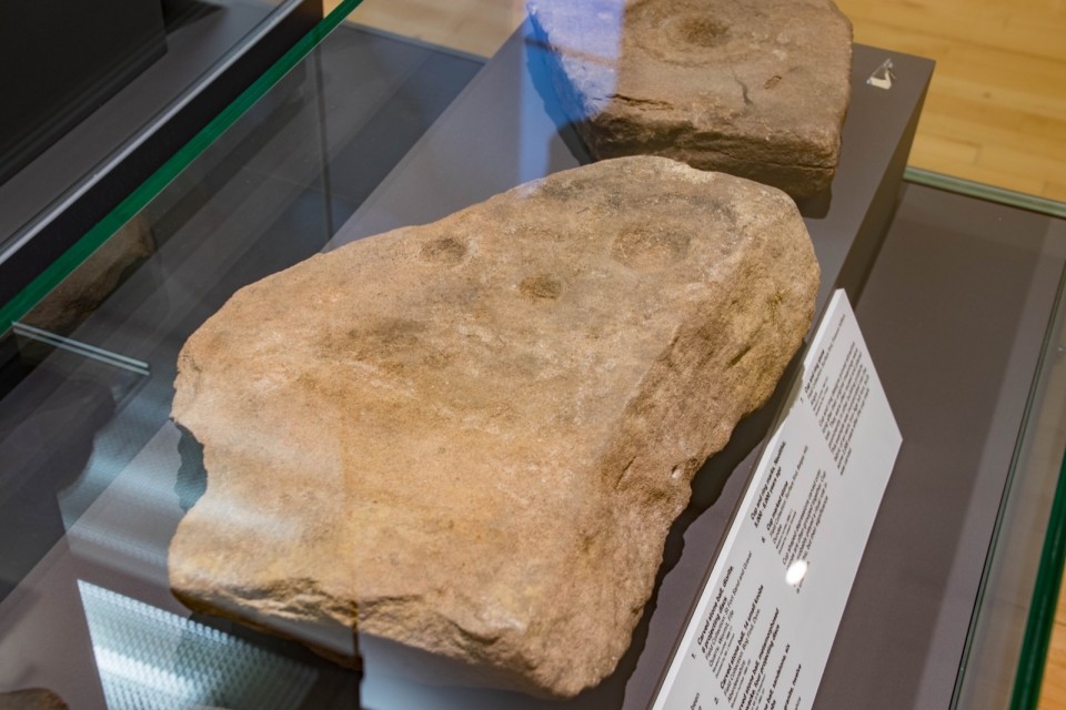
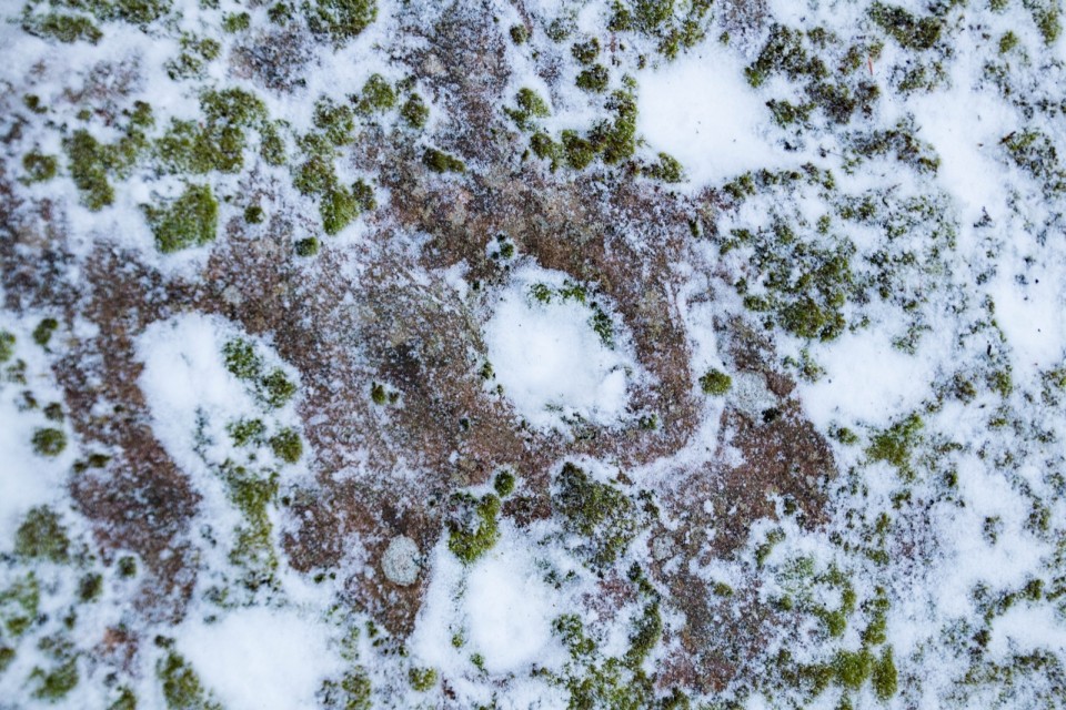
This slab features several cup marks including one which appears to be surrounded by a ring.
It was found on Balgay Hill and donated to the McManus Galleries in 2006.
I couldn't find any reference to its discovery so have given it a grid reference which places it at the top of Balgay Hill.
|

|
 
|
Argyll's Kilmartin museum gets lottery boost
Kilmartin Museum in Argyll is one step closer to a multi-million pound refurbishment.
The Heritage Lottery fund has endorsed an application for a £3.1m grant - as well as awarding £400,000 to develop the plans further.
The museum is located in the Kilmartin glen, one of Scotland's most important prehistoric landscapes.
It currently cares for some of the oldest artefacts in the UK - some dating back to 3,500 BC.
There are 800 known prehistoric and historic monuments within 10 miles of the museum, including the world's largest prehistoric cup and ring-marked rock and Dunadd Fort, citadel of the Kings of the Scotti tribe from whom Scotland got its name.
The museum - which opened in 1997 - collects and curates almost all of the archaeology in Argyll but it requires a major upgrade.
The announcement of a first-round pass means they are a step closer to a £3.1m lottery grant, which will allow them to redevelop the museum and increase the number of visitors.
They have been given £400,000 to develop the plans further.
The redesign and expansion of the museum will include a new exhibition gallery displaying never-before-seen prehistoric objects and an additional gallery for use by local artists and to showcase temporary exhibitions.
The addition of modern and attractive visitor services is seen as vital to Argyll's tourism sector.
The museum hopes to have the new facilities in place by 2020.
Gordon Gray Stephens, chair of Kilmartin Museum Trust, said: "We're really pleased to have the support of HLF for our proposals.
"The Kilmartin Glen landscape is a gem that more people from Scotland and further afield will now be able to discover. We believe that the redevelopment will also create cultural and economic opportunities for Argyll."
http://www.bbc.co.uk/news/uk-scotland-glasgow-west-33797256
|
      
|
5000-year-old Cochno Stone carving may be revealed
A set of mysterious, 5,000-year-old rock carvings could see the light of day again, after being buried 50 years ago to protect them from vandals.
The Cochno Stone in West Dunbartonshire bears what is considered to be the finest example of Bronze Age “cup and ring” carvings in Europe.
The stone, which measures 42ft by 26ft, was discovered by the Rev James Harvey in 1887 on farmland near what is now the Faifley housing estate on the edge of Clydebank.
It is covered in about 90 carved indentations, or “cups”, and grooved spirals, along with a ringed cross and a pair of four-toed feet.
Because of the array of markings on it, the Cochno Stone has been recognised as being of national importance and designated as a scheduled monument.
In 1964, Glasgow University archaeologists recommended it should be buried under several feet of soil to protect the carvings from further damage by vandals. The stone has been covered ever since.
Straddling the garden of a private property and parkland owned by the local council, it is now covered by vegetation and surrounded by trees.
In his book The Prehistoric Rock Art of Southern Scotland, archaeologist Ronald Morris, an expert in ancient rock carvings, described the stone as “one of Scotland finest collections of petroglyphs”.
History researcher Alexander McCallum, who has lobbied to have the stone uncovered, said there were multiple interpretations for the carvings.
He said: “Some people think that the Cochno Stone is a map showing the other settlements in the Clyde Valley – that’s one of the theories. I think it was probably used for lots of things; it was never used for just one thing and over hundreds of years it changed use.
“As far as the symbolism goes, some believe it’s a portal, of life and death, rebirth, a womb and a tomb – people believed in reincarnation, so they would go into the earth and then come out again.”
He said it was also possible the stone had been used in sacrificial ceremonials, with milk or water poured into the grooves and channels as offerings, or that the markings were astronomical maps, showing constellations that guided prehistoric farmers’ crop sewing.
Mr McCallum said similar carvings had been found around the world, including in Hawaii, India and Africa, while in Scotland they tended to be found along the west coast near the sea or rivers, often close to copper mines.
Changes in the options available to heritage bodies for the conservation of ancient sites and a shift in the attitude towards how they should be treated have led to the possibility of the Cochno Stone being uncovered.
A spokeswoman for West Dunbartonshire Council said it would “seek professional advice on the implications of uncovering the area”, adding: “Our priority is to ensure this renowned site is preserved and protected in a sustainable way.”
A spokeswoman for Historic Scotland said: “We have had no recent approaches with specific proposals.
“In the 50 years since it was covered over, there have been significant advances in recording techniques and our understanding of conservation, and we would be happy to support any considered and adequately resourced proposals to uncover it, in conjunction with the local authority and the landowner.”
The stone was featured in Scots film maker May Miles Thomas’ critically acclaimed feature The Devil’s Plantation, which traces ancient landmarks that link modern Glasgow to its prehistoric past. The film was based on 1980s archaeologist Harry Bell’s book Hidden Geometry, which includes the carvings in its history of the city and its surrounding landscape.
http://www.scotsman.com/lifestyle/heritage/5000-year-old-cochno-stone-carving-may-be-revealed-1-3479326
|
|