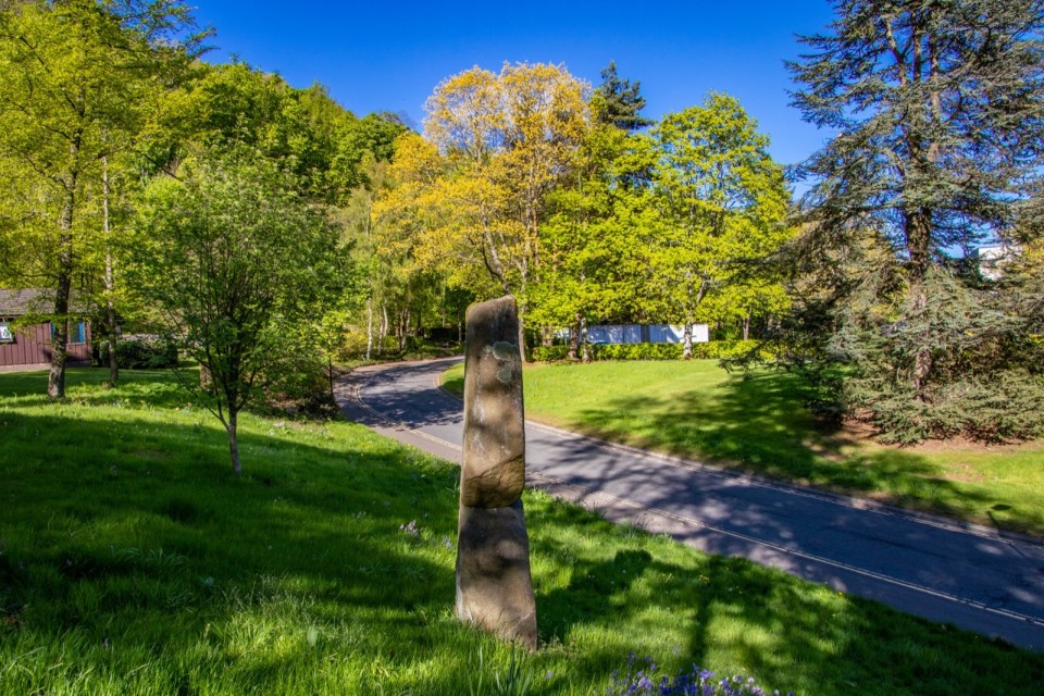
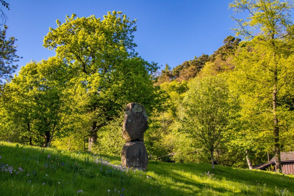
At the other side of the man-made Loch Airthrey from the Airthrey Stone (about 800m W of it) stands the Pathfoot Stone.
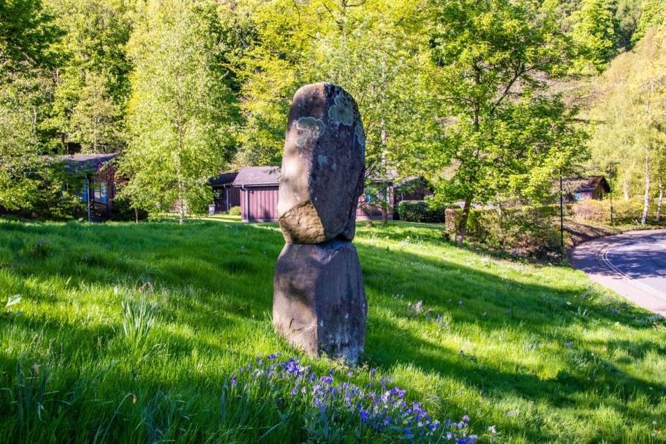
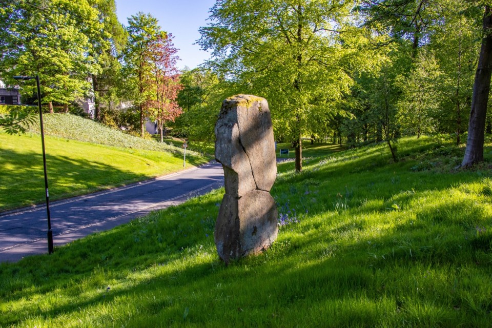
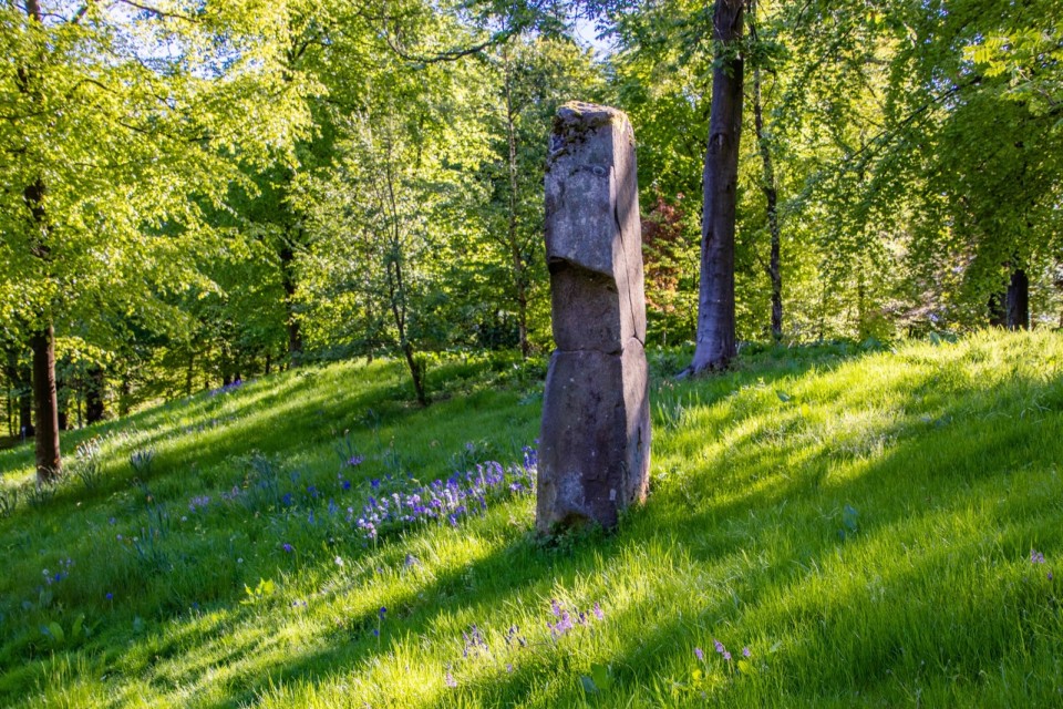
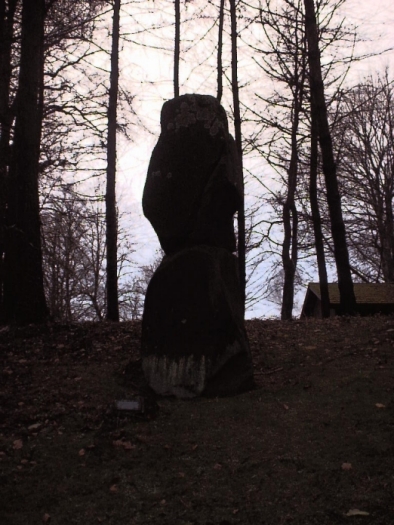
This 11 ft giant sits on top of an embankment at the side of Hermitage Road close to the Stirling University student blocks. When you stand at the bottom of the embankment, the stone imposes itself over you with trees behind it. It really has a huge presence.
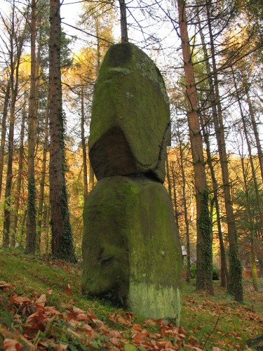
Despite it being a bit patched up with concrete and the surrounding university building and landscaping(see misc.), its a great place to just come, sit, chill out, people watch and have your lunch, as I've done a few times before.
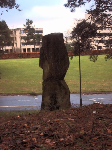
This stone disappeared for a while during the 80's/90's. The stone has been re-erected in a concrete base on an embankment at the side of Hermitage Road and has been clumsily patched up, also with concrete - it looks as if it broke into 3 pieces along natural fissures in the stone.
Its difficult to tell if the Airthrey Stone, which stands 800m to the east, was visible from the Pathfoot Stone (and vice versa) before the 5-stories student blocks were built just accross the road to the east.
I restudied an 1898 map and a modern map and I think the stone has been re-erected pretty much in the original spot - certainly within 5 metres (god I'm getting sadder- it took me ages to work this out, imperial, metric, angles etc.)
The stone was the focus of the growth of the village of Pathfoot and this was the site of a large, annual cattle tryst (market) in the 18th century. The estate owner in the early 19th century, 'discontinued the village', rehousing the inhabitants elsewhere and knocking down the buildings. There is no trace of the village today.