Showing 1-50 of 1,911 posts. Most recent first | Next 50  
|
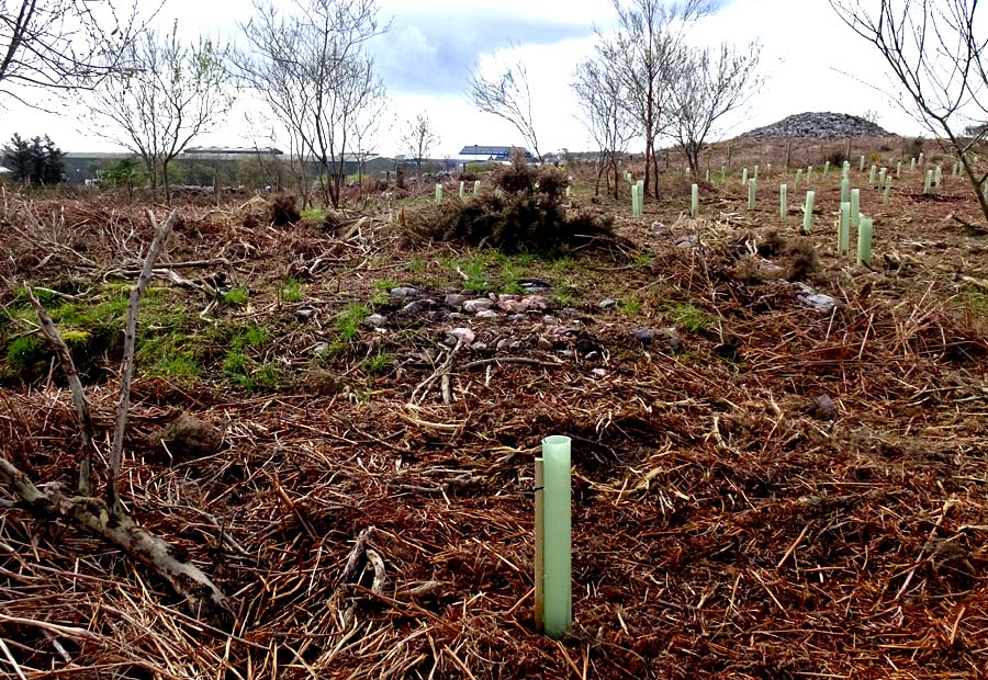
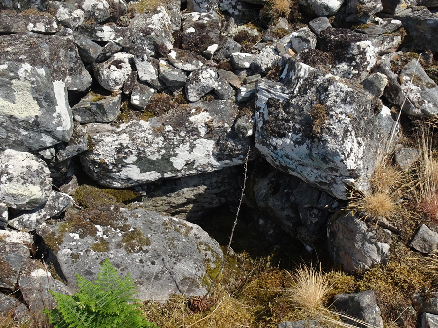
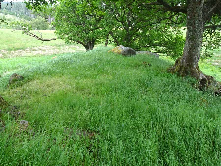
Visited April 17, 2024
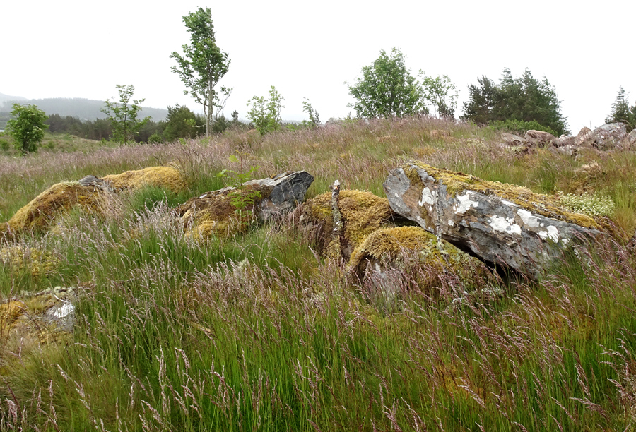
This was my first visit to Tullos Hill for some months and it was pleasing to discover that the thick and uncontrolled gorse that used to surround Cat Cairn 2 has all been removed.
An expansive area of at least an acre surrounding the monument is now planted with a vast number of saplings, which should create a pleasant woodland scene in time.
The kerb of the cairn is now clear to view from every direction, and the cairn itself can be seen to have a hollow centre (ring cairn?).
|
        
|
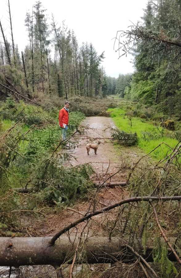
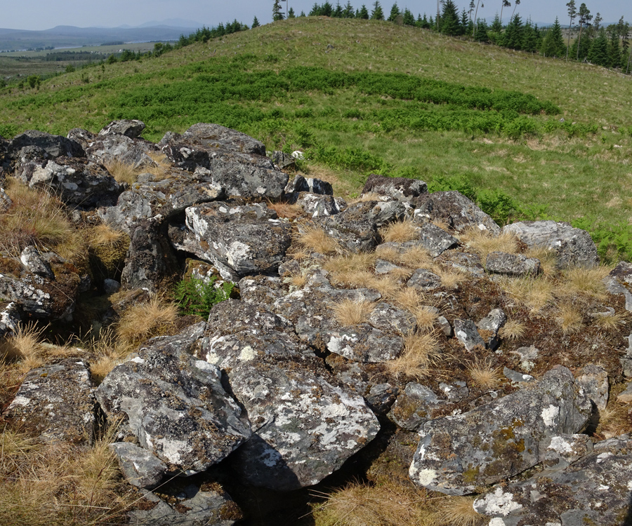
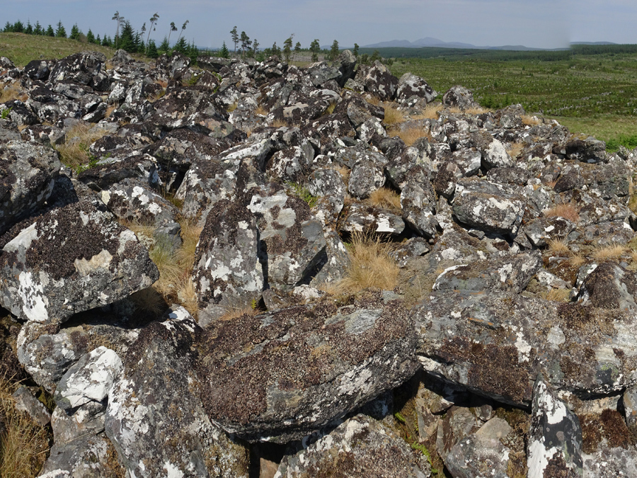
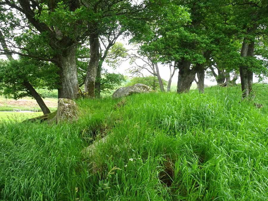
Visited July 15, 2023
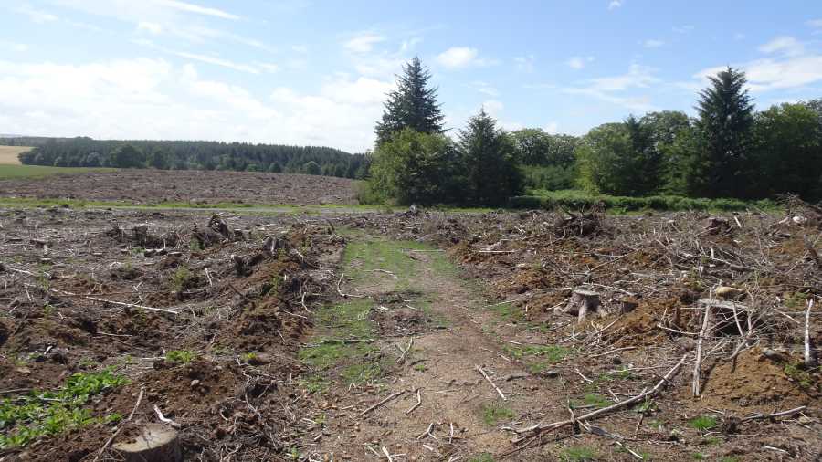
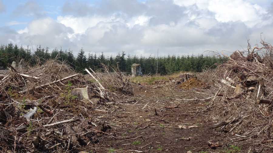
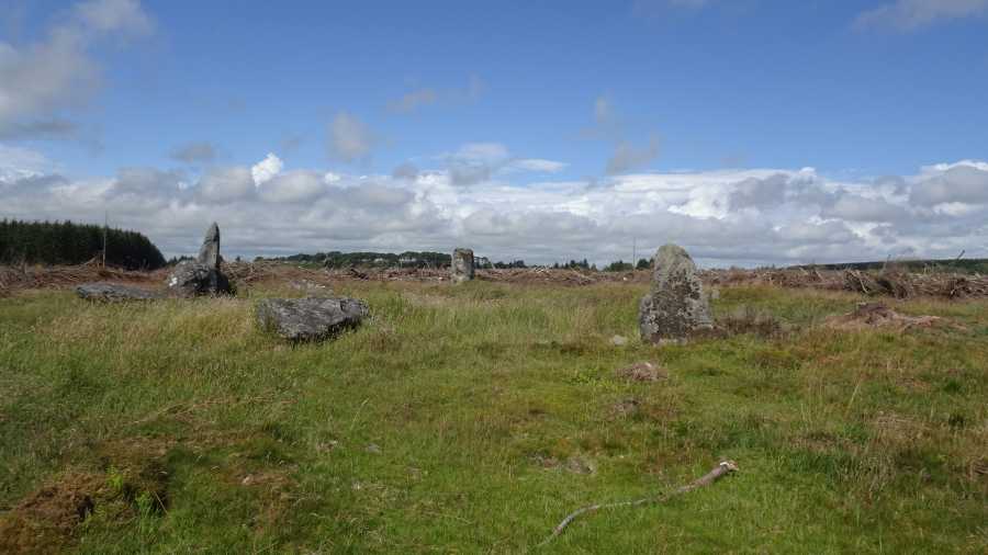
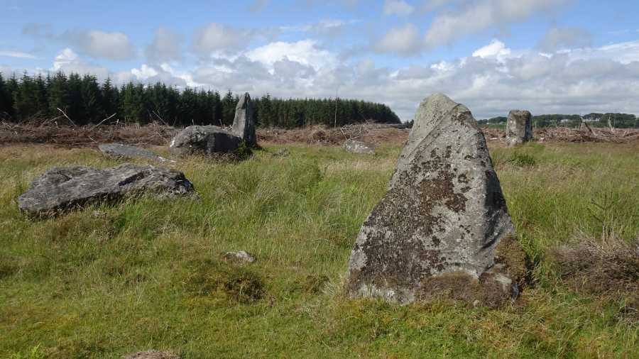
Loudon Wood Stone Circle was for a long time considered to be one of the most elusive stone circles in Northeast Scotland. But no longer!
In the wake of Storm Arwen in November 2021, the woodlands suffered tremendous devastation, and I recently heard from a couple who tried to visit the stone circle in Summer 2022, but could make no headway in face of felled trees.
I have just visited Loudon Wood, and found it totally unrecognisable. The area of woodland containing the stone circle has been totally clear-felled and is now a wilderness of toppled tree stumps and piles of wood fragments.
The walk along the track, which used to be a delightful forest walk with trees lining it on both sides, now snakes through a desolate wasteland.
The one saving grace is the fact that the paths to the circle itself—which were becoming hard to discern on account of the trees on either side spreading into each other— have been cleared of detritus, and allow you to walk easily to the stone circle
|
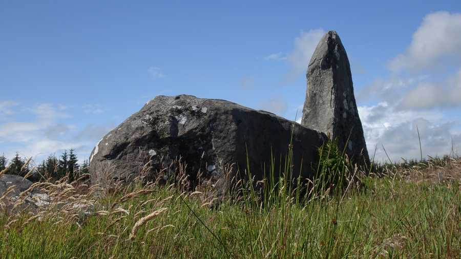
Visited: June 13, 2023
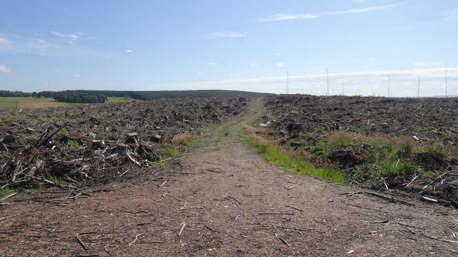
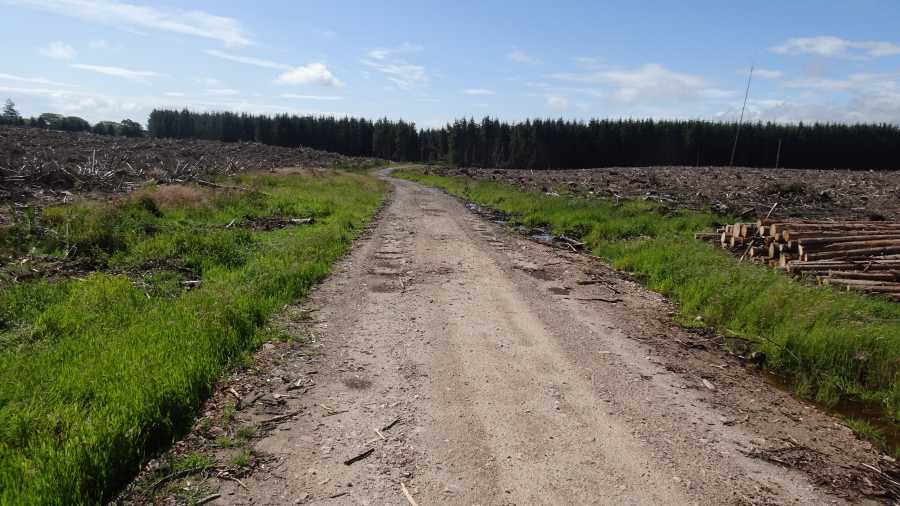
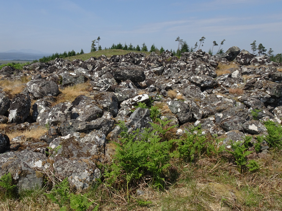
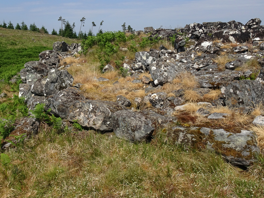
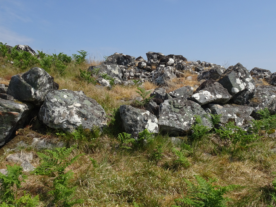
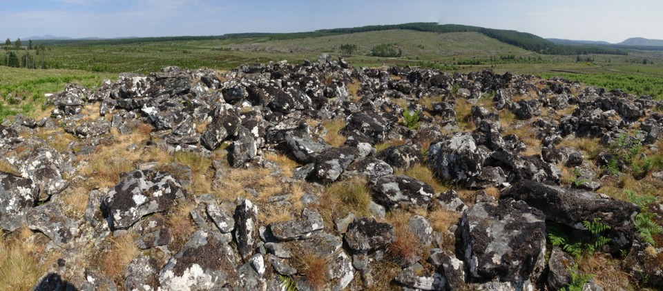
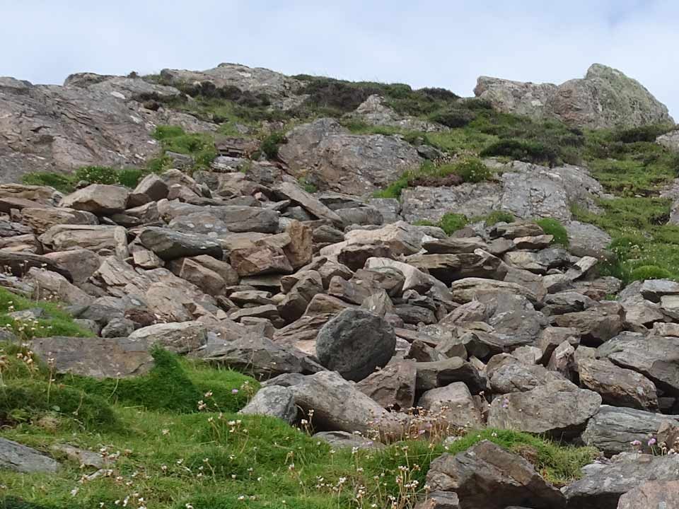
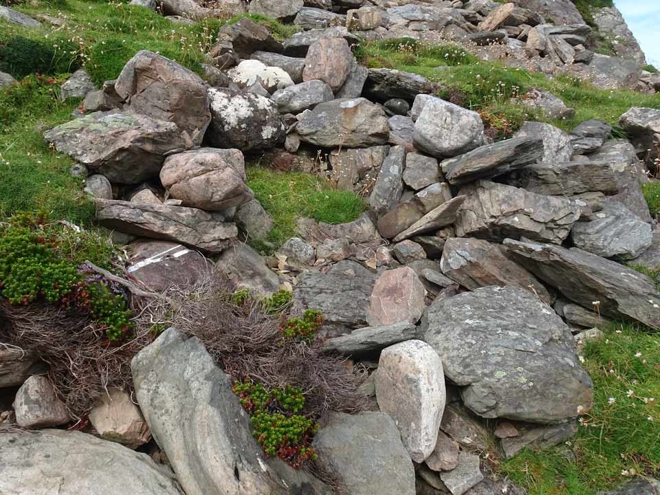
Alltbreac broch is located in Dalchork Wood, a short distance north of the town of Lairg. To visit the broch, on entering Lairg from the east follow the A836 Tongue road for approximately 4½ kilometres, and about 200 metres north of the Dalchork Bridge, then follow the forestry track on the right-hand side of the road. There is space to park a vehicle there (marker 'P').

At the present time, although most of Dalchork Wood has been clear-felled, the broch is not actually visible from the track. To reach Alltbreac Broch, walk about 1¾ kilometres along this road until you encounter a gate on the left hand side. Through this gate a rough path leads uphill past a drystone enclosure towards a knoll topped by bracken within which stands the broch (marker 'B').
The broch measures approximately 10 metres in diameter with walling generally close to 4 metres in width and about one metre in height. It is extremely ruinous, and the interior is a pretty disorganised rubble-pile.The ground level course is impressive and encircles the broch with large boulders, but within, the eye of faith can just about discern what might have been intramural cavities .
Interestingly, Alltbreac broch is not surrounded by a rubble pile: most probably much of the broch debris was harvested long ago to build the neighbouring walled enclosure.
|
        
|
          
|
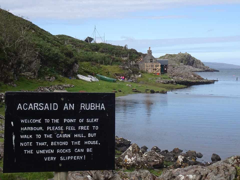
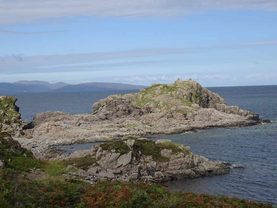
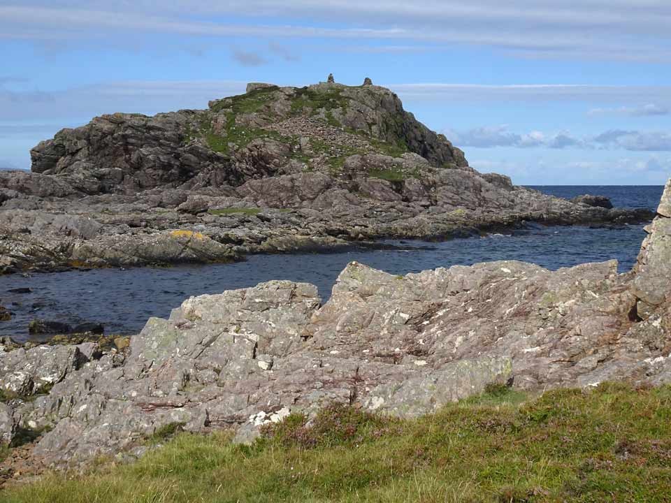
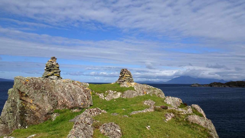
Visited: August 16, 2022
Almost a year on, on a superb sunny morning, I renewed my quest to visit Acairseid an Rubha, which is Gaelic for 'The anchorage of the peninsula'. On the OS map this looks a mere stroll, but in practice attainment of the goal is a pretty hard slog and not a task for the unprepared. The approach starts with an approximately two mile walk in along a good estate road from the car park at Point of Sleat. As you approach the coast the path crosses a stream, and shortly after two tracks head left towards Point of Sleat. Ignore these and continue a little farther till the track passes a cottage before arriving at the beautiful Point of Sleat Harbour. Here a notice warns of a difficult rocky coastline ahead.
It looks quite daunting and certainly requires a strong pair of boots and, I suggest, not a little experience of navigating rocky Skye terrain. If you are unsure, do as I did on first approach and ascend the hillside to make a route around this section. I did, however, return by the coastline, and found that by making use of a number of grassy oases within the coastal rocks, it proved less daunting than it had appeared from the other end.
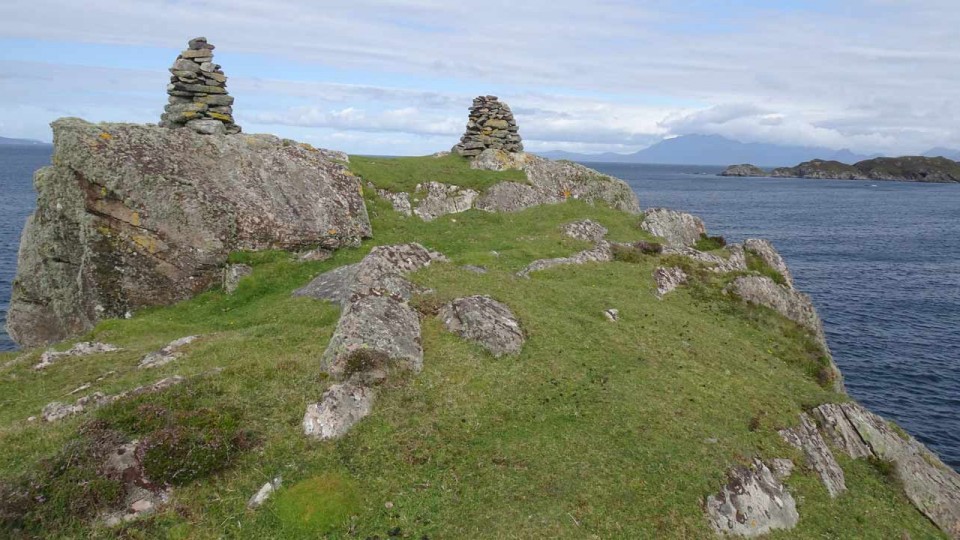
Canmore has little to say about this site other than that it is a 'possible dun' and referring you to the website of Historic Environment Record for The Highland Council area, which explains that the site was recorded as recently as 2011 as a possible Iron Age dun from around 550-560 CE, but noting that 'Nothing remains of the structure, but a large amount of fallen stone forms a scree on the east facing slope. The basal stones of an inclined possible access path remain, in one place attaining a height of 3-4 courses of stone. '
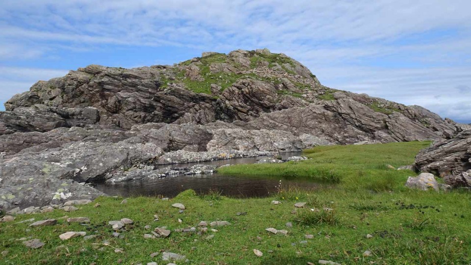
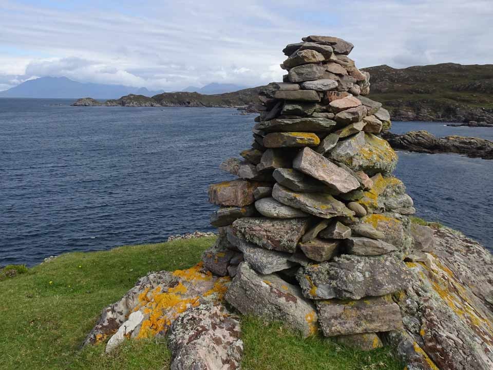
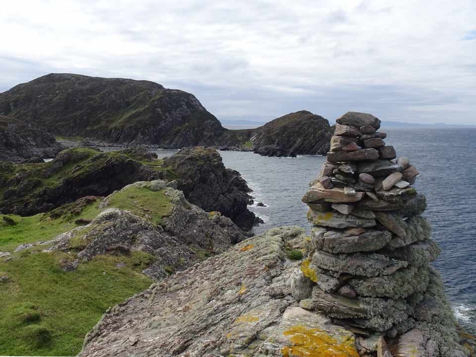
After negotiating the coastline, Acairseid an Rubha sits at the extremity of the bay, connected to the mainland by a narrow strip of dry land. From here it is no problem to ascend the ridge that appears to lead to the dun: but it doesn't, and I had to return to near sea level and negotiate more awkward coastal rocks to make my way round to a small beach almost immediately below the headland. From here it was still a steep climb to the summit, where two modern stone cairns, clearly visible from across the bay, stand.
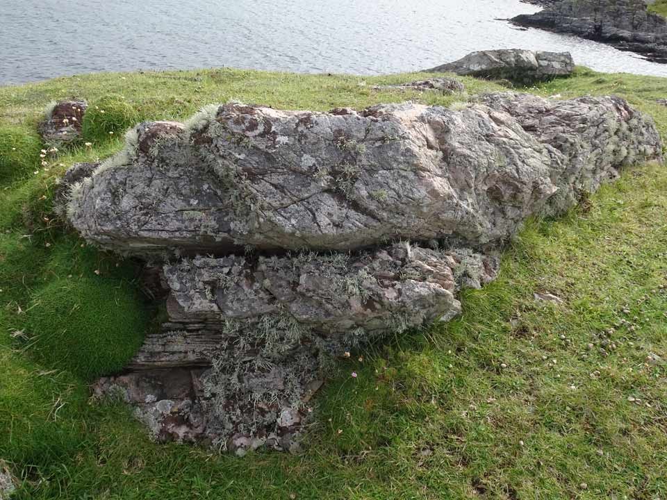
The summit of Acairseid an Rubha is grassy and really quite small, and shows no obvious signs of antiquity. On the slope below, the scree on the east side was certainly in evidence, and above it a section of rock that just 'might' have been part of ancient walling. Below the scree was a section that seemed to have a degree of structure, perhaps part of an entranceway.
The Acairseid an Rubha headland is undoubtedly a superb lookout point and provides stunning views seaward and towards the Cuillin. But in view of the difficulty of access—I've never had to work so hard to visit any broch or dun previously—would our forbears have actually constructed a small stronghold there? Maybe round the far side there is an easier point of access from the sea, by boat, that makes it a realistic possibility.
|
Outrage after north-east stone circle damaged by fire
Visitors to Aikey Brae Stone Circle, near Old Deer, discovered the remains of a fire on the grounds this week.
Pictures from the area show burned logs and a large fire mark in the centre of the circle.
P&J Link Report.
|
    
|
Visited: June 13, 2022
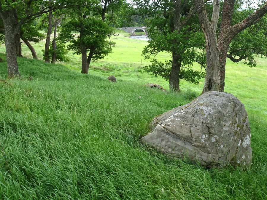
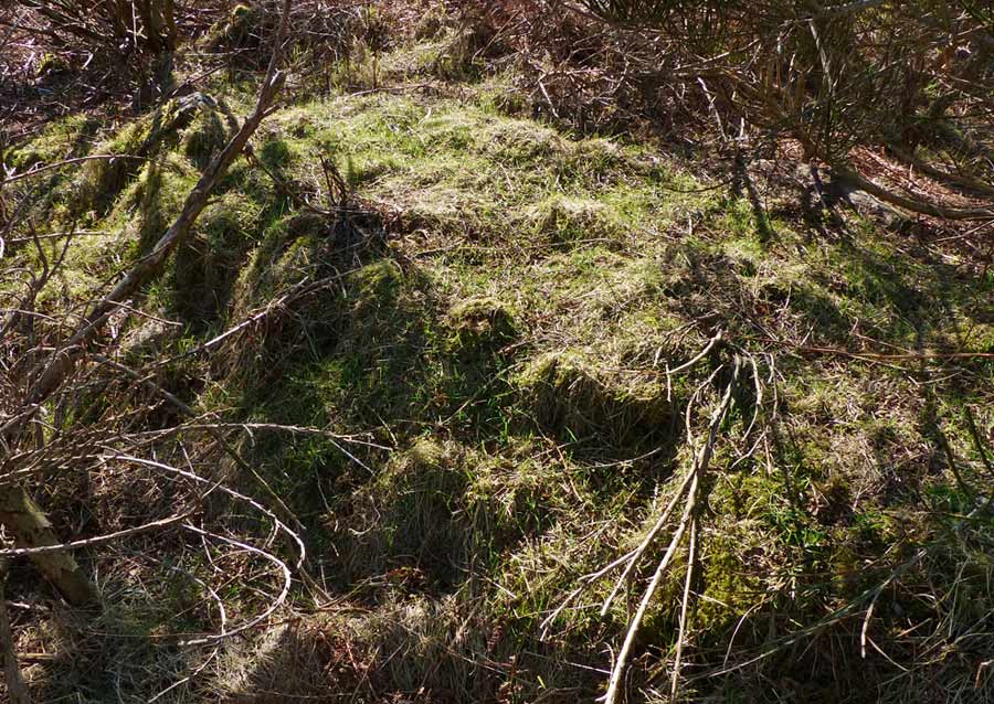
A short distance from the Achness Hotel in the community of Rosehall, and a mere 90 metres southeast of the ruined Achness Broch, stands another dilapidated broch: Achaneas.
In this case there is a distinct mound two to three metres in height bearing a number of mature trees, but again, little evidence of walling structure or an entrance passage. There are, however, a number of large stones on the eastern and southern slopes of the mound.
|

|
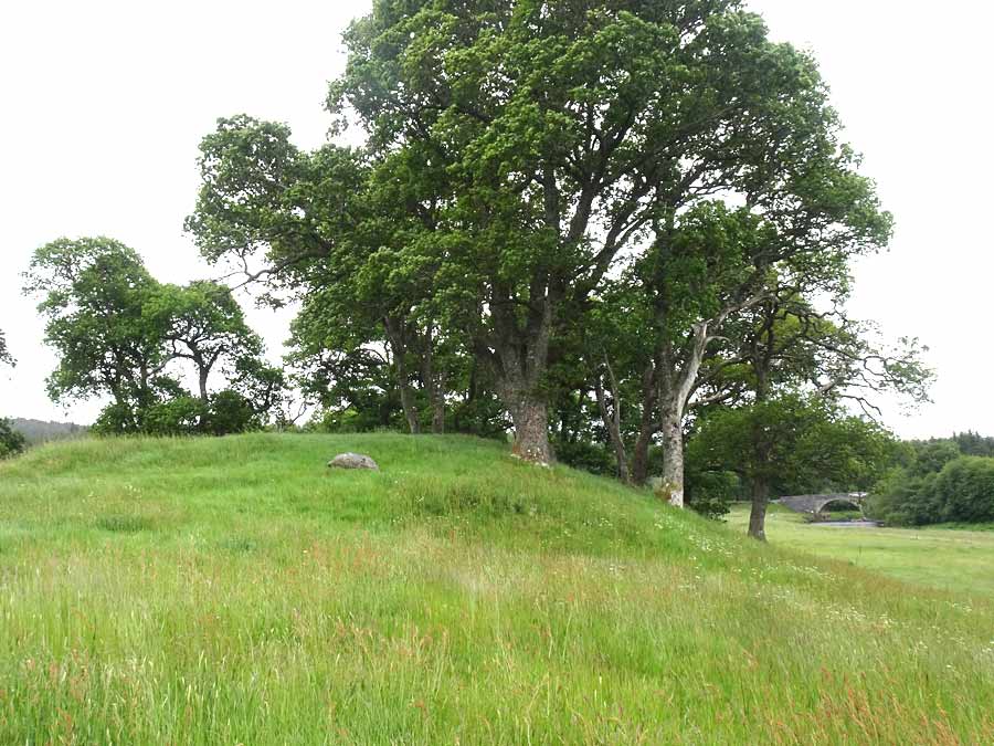
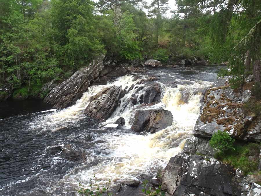
Visited: June 13, 2022
As a spectacle, the remains of Achness Broch are barely worth the visit, and it was only because they sit just over one hundred metres from the magnificent Casselly Falls (Achness Falls on the OS map) that I was in this area. You pass the broch on the path to the falls.
Nowadays, Achness Broch is just a low, grass-covered mound, with less than a handful of stones peeking through the undergrowth. A mere 65 metres from the broch stands the walled Achness Graveyard, and it seems probable, in the absence of any other stone structures in the vicinity, that the stones of the broch were plundered in its construction.
From some viewpoints it is just possible to discern a rather shallow saucer-shaped depression in the surface of the mound, as reported by Canmore, typical evidence of the central court of many brochs.
Just 90 metres to the southeast of this broch stand the remains of another ruined monument: Achaneas Broch.
|
  
|
 
|
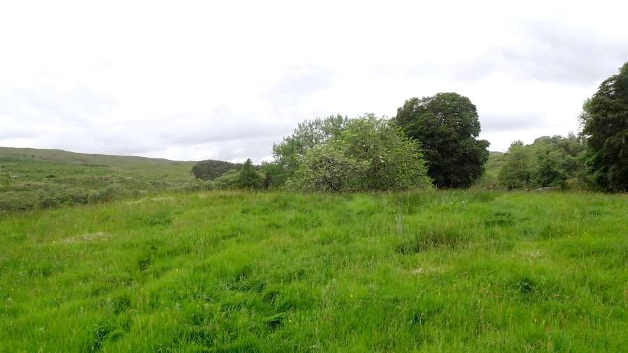
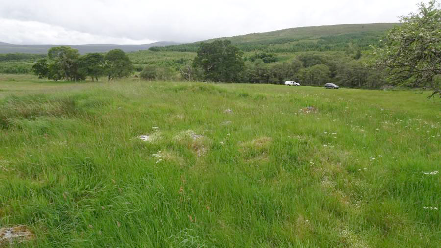
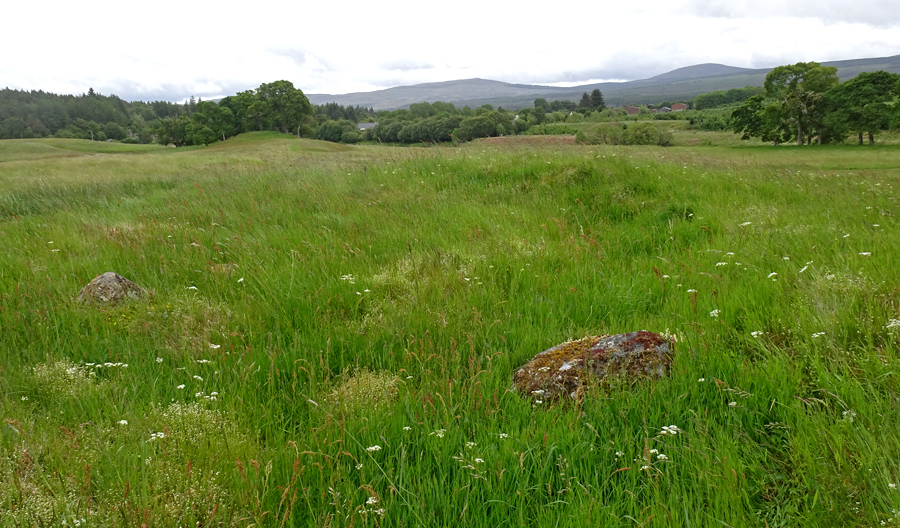
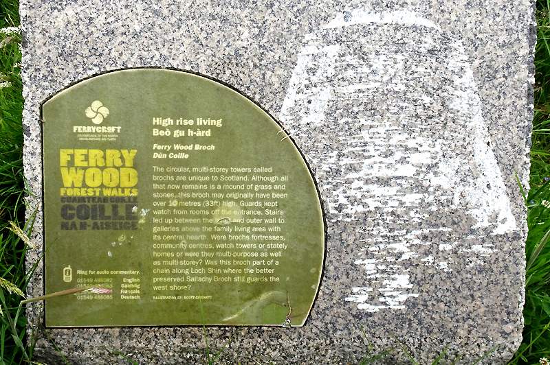
Visited: June 13, 2022
Ferry Wood Broch (remains of) lie in woodland immediately west of Little Loch Shin in Lairg. Access is from the Countryside Centre, where ample parking is available. If you drive past the football pitch, you can park up close to the gate that gives access to the woodland.
The path into the woods soon splits but as it is circular you can follow either branch and, after a walk of just under a kilometre, at its northernmost point, you will encounter a marker stone carrying generalised information on the brochs of Scotland. The remains of Ferry Wood Broch lie on a shallow rise just a few metres north.
In truth, there is not a lot to see as the structure has been long since trashed by forestry work, but the overall outline is clear, marked by numerons sizeable boulders all around it, though apart from one short, tumbled stretch, few are adjacent to each other. No signs of inner or outer wall facings are apparent, nor any hint of any mural structure.
At the time of my visit there was a low semicircular structure that resembled a wind break, but as all its smallish stones were clean and free of vegetation, it is almost certainly a recently constructed 'folly'.
|

|
Showing 1-50 of 1,911 posts. Most recent first | Next 50
A keen hillwalker most of my life, my interest was restricted when the need arose to care for an ageing parent.
With limited opportunities to travel far from home, I 'discovered' the world of stone circles, mainly in my native Aberdeenshire.
This provided the ideal opportunity for short walks of just a few hours duration, and resulted in me visiting many places of interest that I had never considered previously.
Website:
Stone Circles of NE Scotland
Here you will find both Google and Bing maps displaying more than 100 sites of stone circles, the majority in my native Aberdeenshire. The markers on the maps are clickable, to reveal a photo of the stone circle and a link to their Canmore Site Record.
A menu at the side of the maps allows you to zoom in to any individual circle, viewing its environs as a zoomable aerial photograph (Google) or an OS Map (Bing).
Hunebedden
I've since extended my interest to the megalithic remains in The Netherlands, where there are some magnificent passage graves known as hunebedden (giant's beds). Despite the fact that The Netherlands is essentially flat and sandy, these 5000 year old monuments from the Funnel Beaker Culture are often found in exquisite woodland settings, nearly all of them in the province of Drenthe. There are almost limitless opportunities for delightful walks between small villages, taking in a diversion to a hunebed here and there.
|
|