Showing 1-50 of 15,587 posts. Most recent first | Next 50         
|
     
|
         
|
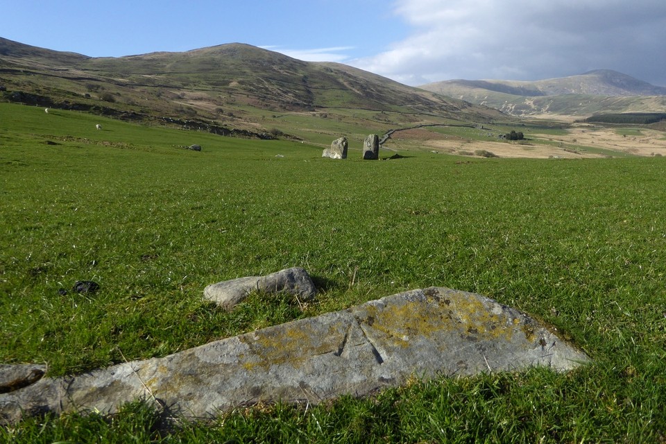
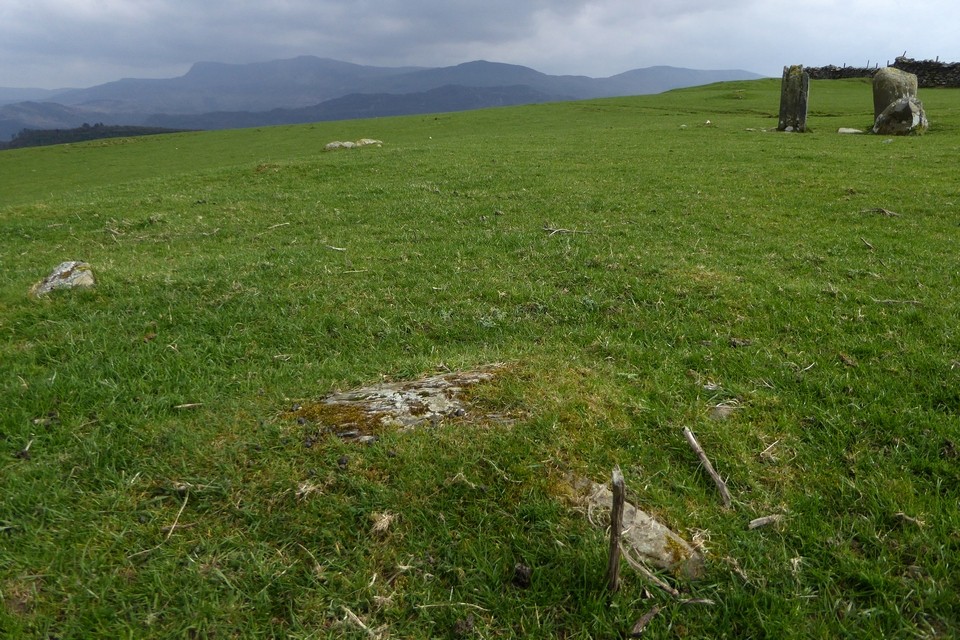
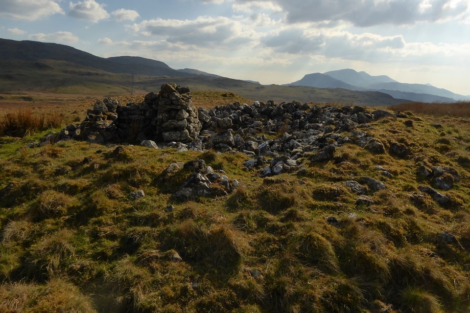
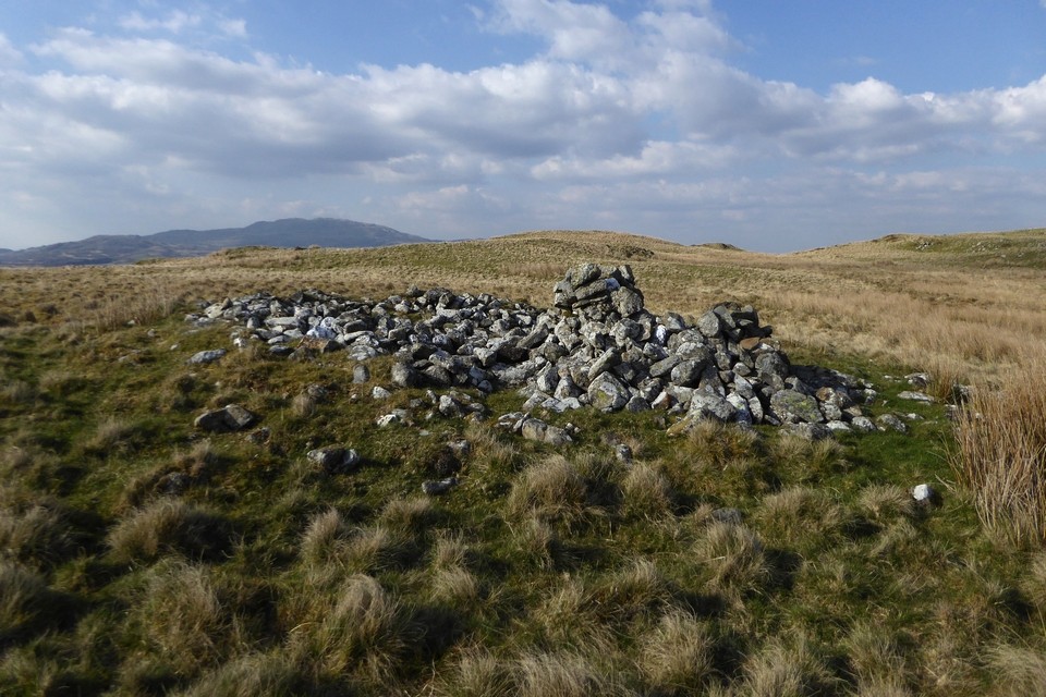
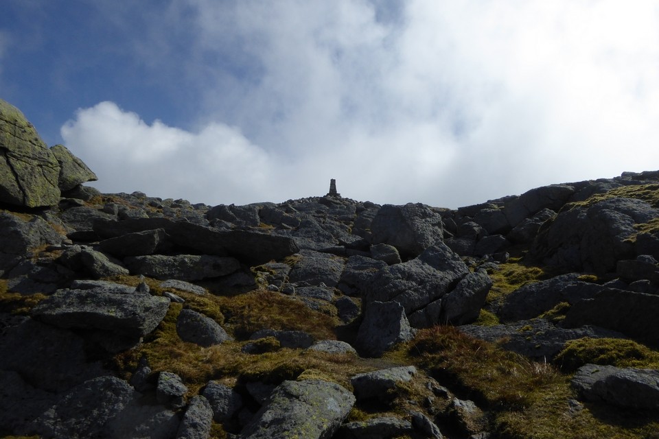
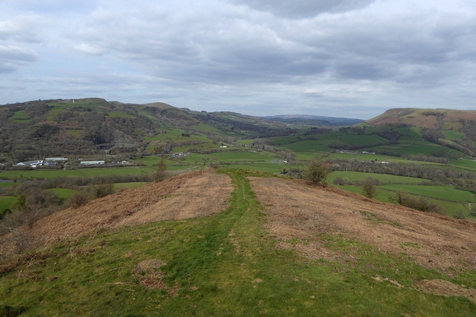
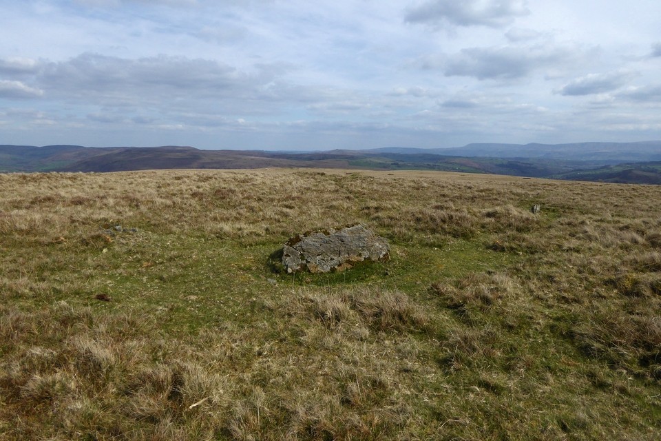
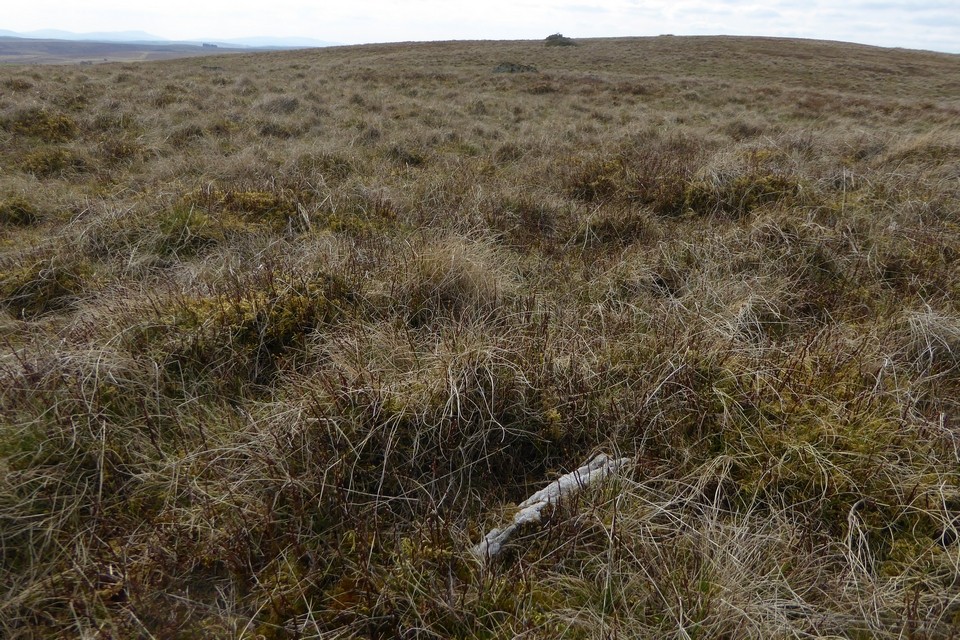
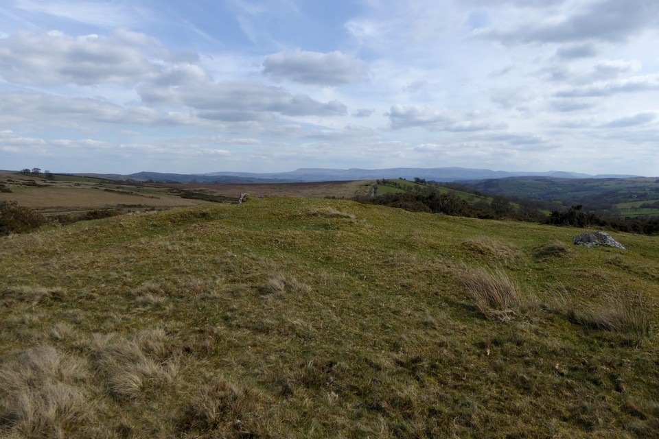
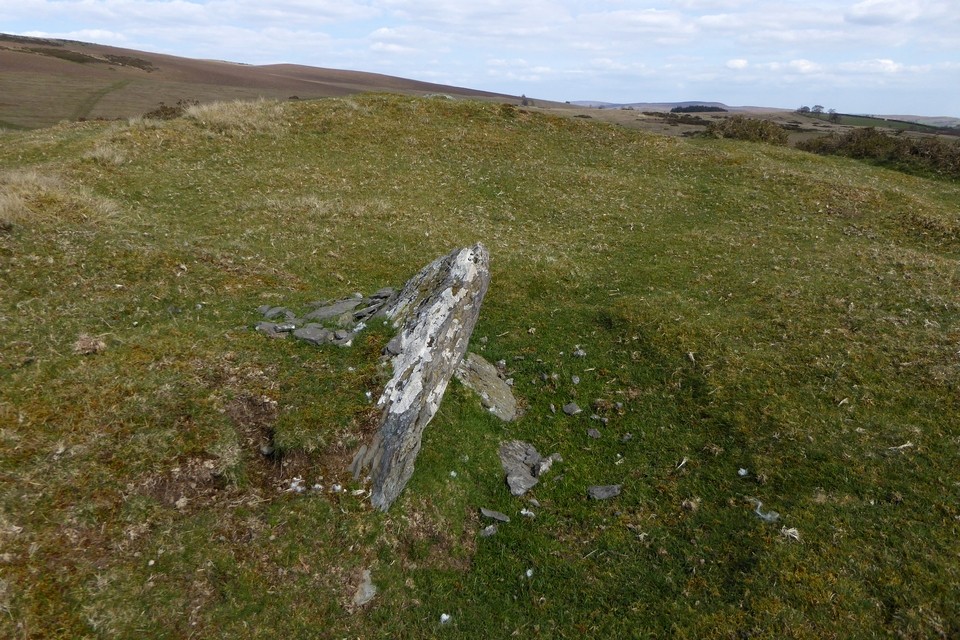
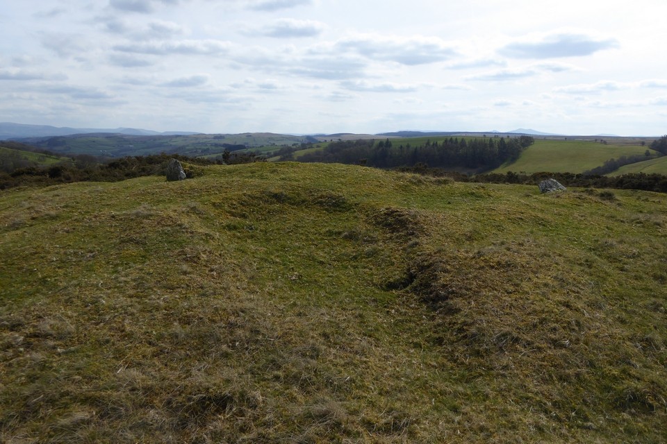
Coflein descriptions:Western cairn (SH8010718561)
Located on the crest of a ridge. A cairn of stones and boulders, approx. 8m diameter, the edges part turf-covered. The centre was scooped out when a shooting butt was built inside it in the C19.
A ring cairn (300459) lies a short distance to the E.
Recorded as part of RCAHMW Uplands Initiative Project, W B Horton, H&H, 12/10/2012.
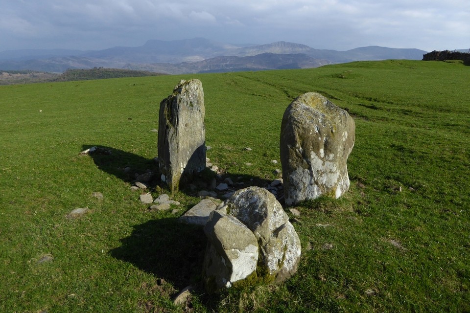
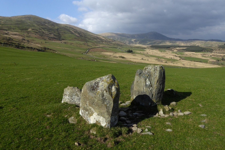
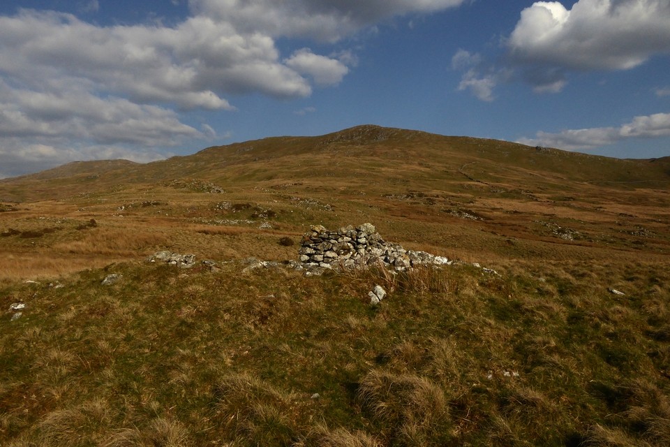
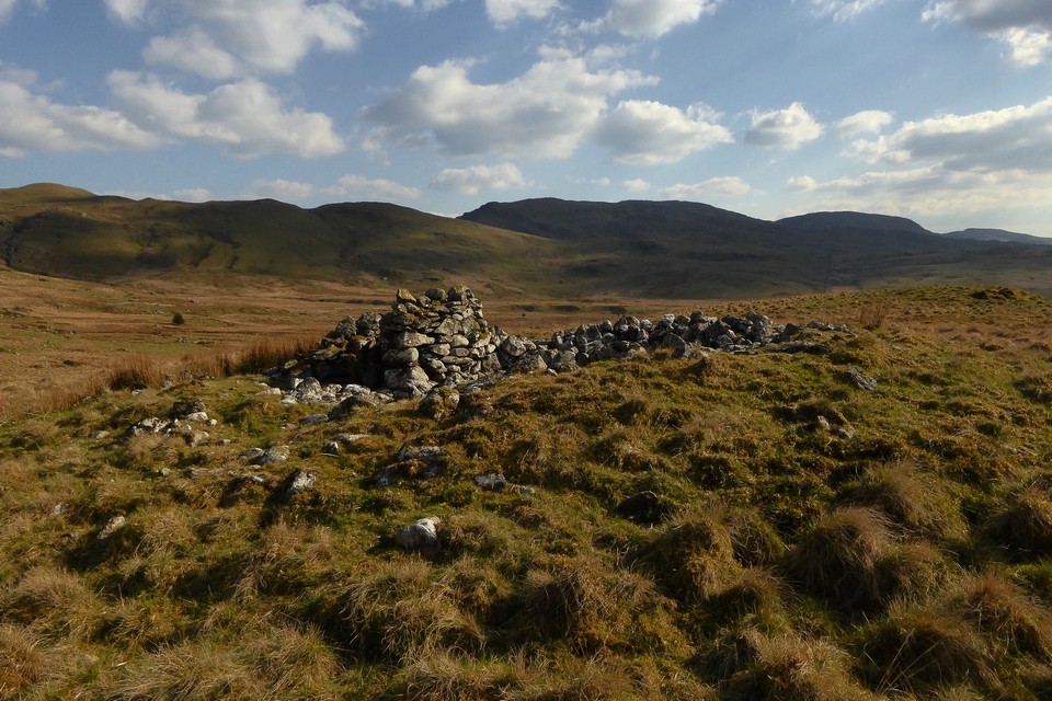
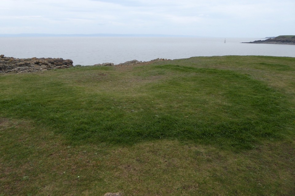
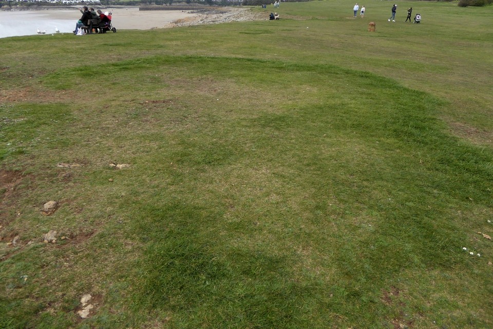
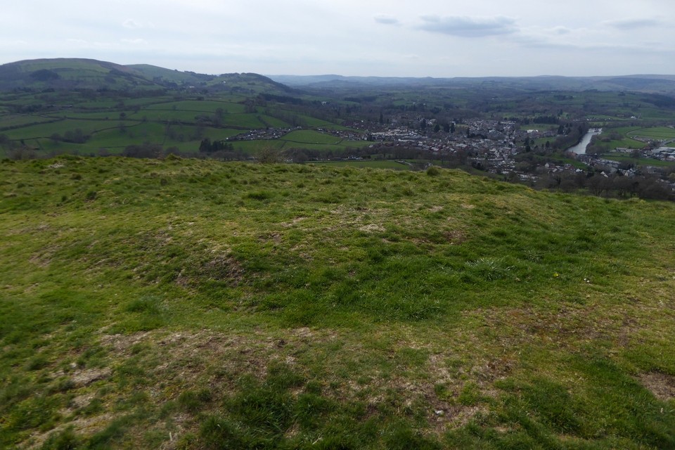
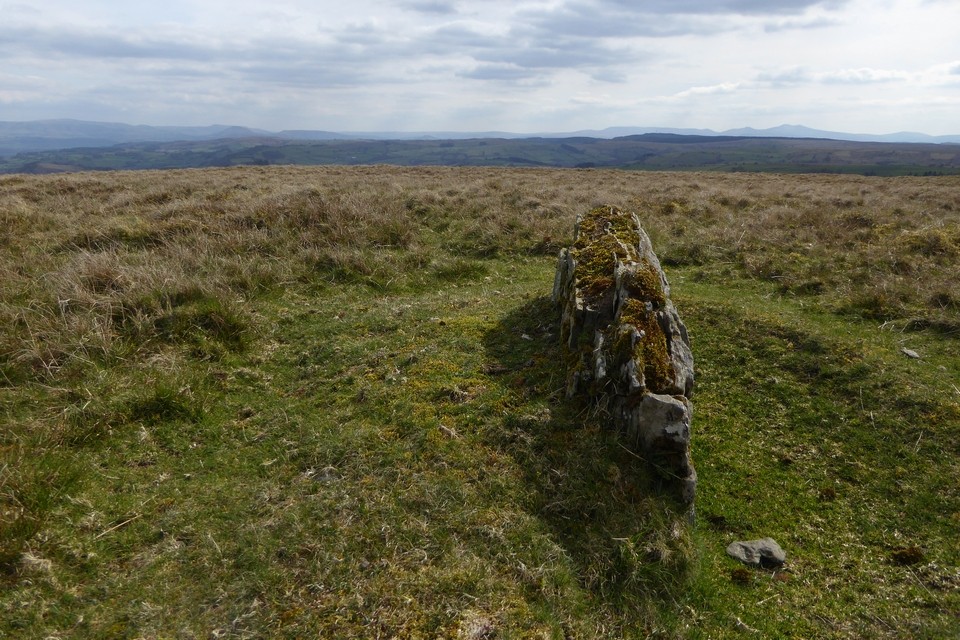
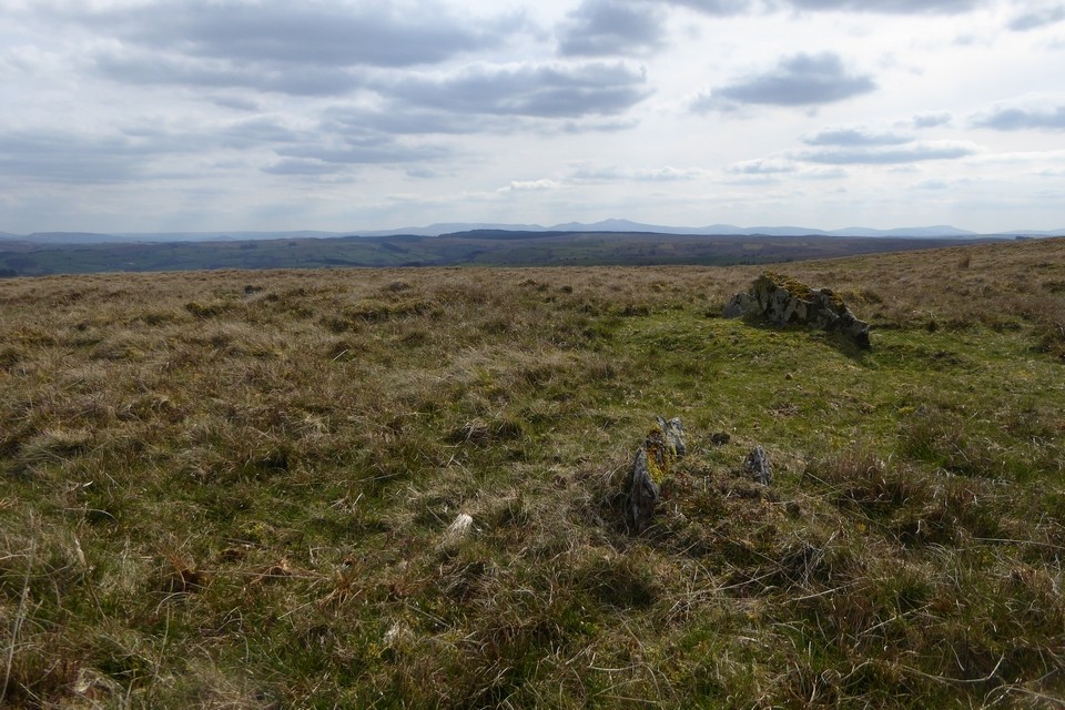
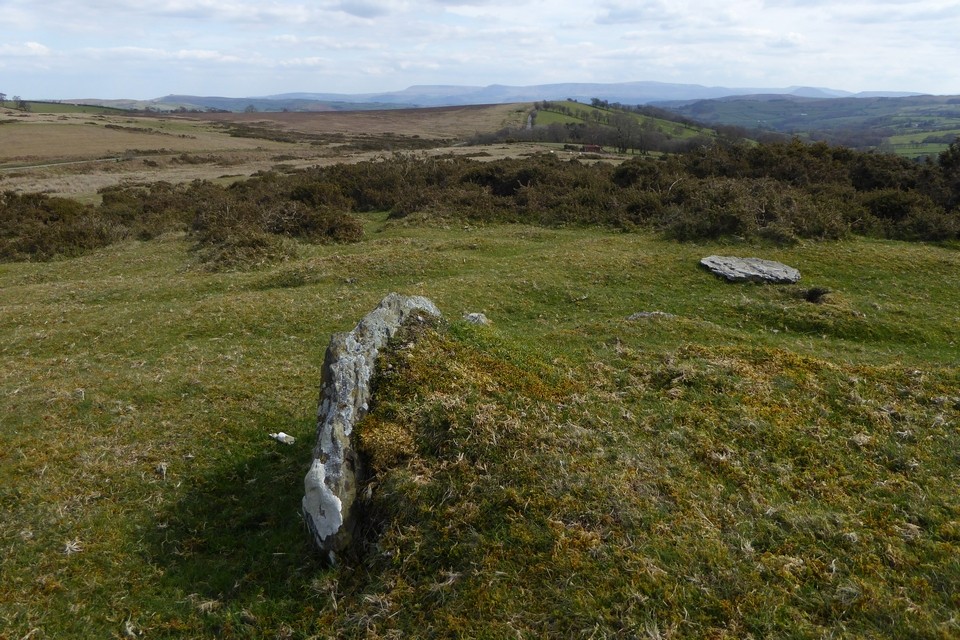
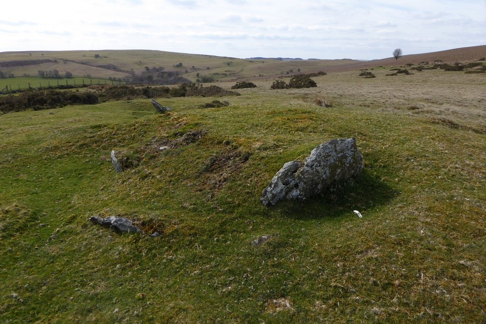
Eastern ring cairn (SH8021218589)
A ring of stones 11.5m in diameter, 2m thick and 0.2m high. The ring of stones is well defined and has no gap. The interior is level and largely stone free. Approximately 100m to the W is another cairn (nprn 300458).
Recorded as part of RCAHMW Uplands Initiative Project, W B Horton, H&H, 15/10/2012.
|
| |