The car parks at West Pentire both seem to be privately run because they seem to charge all day / all year around (whereas most Council owned ones are free off season / outside peak hours), but are probably still the best places to start if you come by car. If you stick to the coast path you could probably get away without a map. Otherwise you may feel more confident with one. By the by, there is a semi-signposted short cut across fields to 'Porth Joke'. The National Trust car park via Treago Farm is free, but not well signposted.
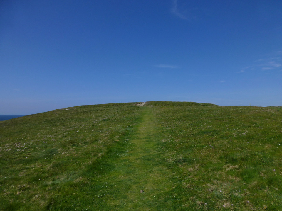
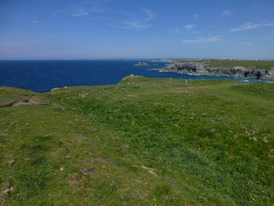
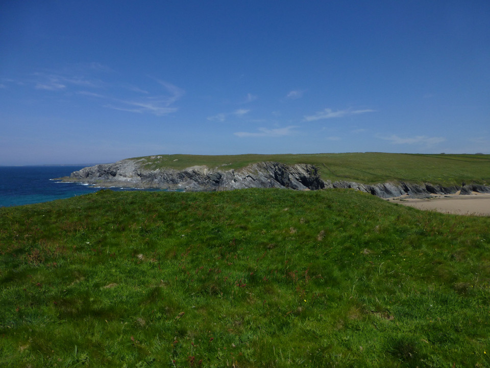
Porth Joke is not only a great name, but also had cows grazing right up the sand (and even some hoof prints in the sand - had they been out surfing??). Kelsey Head Cliff Castle is then on the next headland.
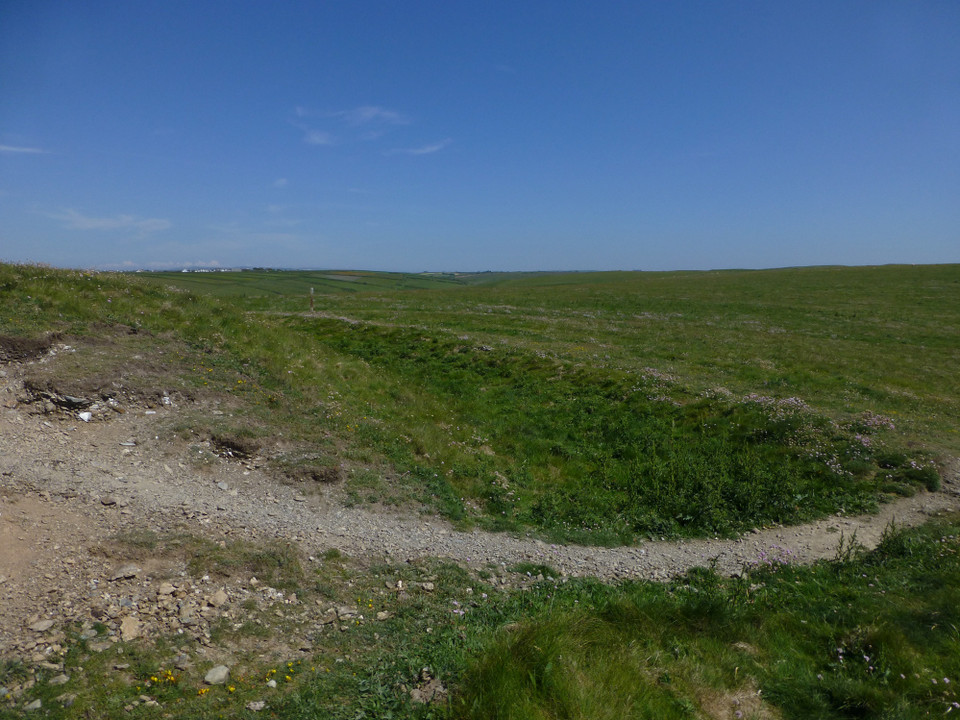
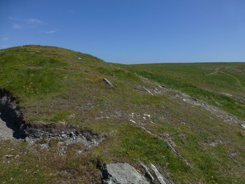
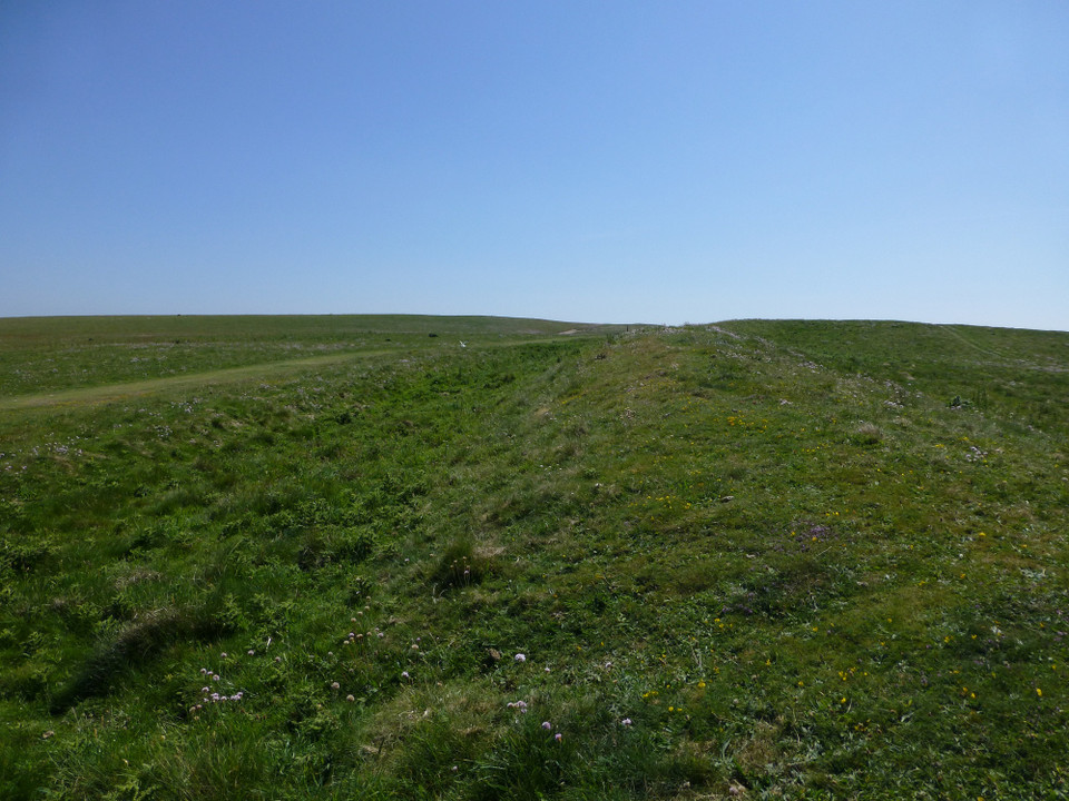
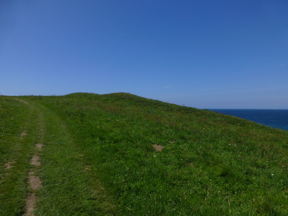
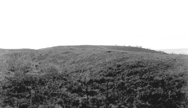
The defences are not particularly impressive but you can imagine that the site would have been quite out of the way and maybe would not have needed large ramparts. The entrance (in the middle of the V shaped ramparts) is relatively obvious if you walk long the defences.
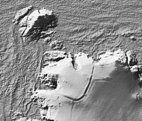
In addition to the main V-shaped fort mentioned in pure joy's miscellaneous post, there is a further defended headland on the Kelseys, overlooking Porth Joke at SW 76855 60709. It isn't shown on Ordnance Survey 1:25000 mapping, but is scheduled along with the larger site.
Mentioned by Craig Weatherhill, in “Cornovia: Ancient Sites of Cornwall & Scilly” (Cornwall Books - 1985, revised 1997 & 2000) “The headland is defended by a V-shaped Iron Age rampart and ditch 220m long, pierced by a single entrance 3.0m wide near the angle of the V. This entrance is somewhat indistinct and there is a scatter of loose masonry on its eastern side. The rampart, 1.5m high, incorporates natural rock outcrops and its ditch is 4.6m wide and 0.6m deep. The defended area totals 1.0ha; traces of iron Age dwelling sites have been found.”

 Posted by pure joy
 Posted by thesweetcheat