|
|

|
|
Beacon BatchBarrow / Cairn Cemetery
|
||||||||||||||||||||||||
|
|
|
Images (click to view fullsize) |
|
|
Fieldnotes |
|
|
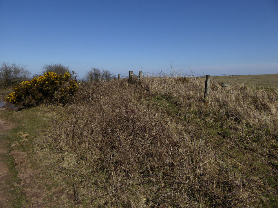
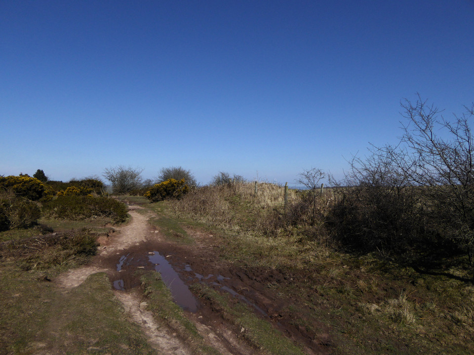
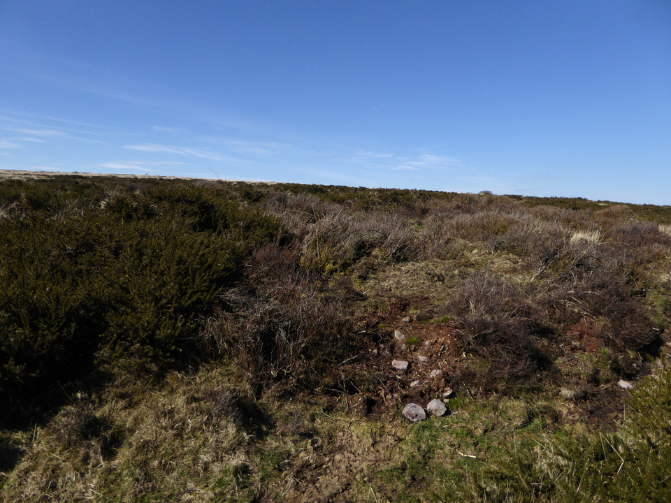
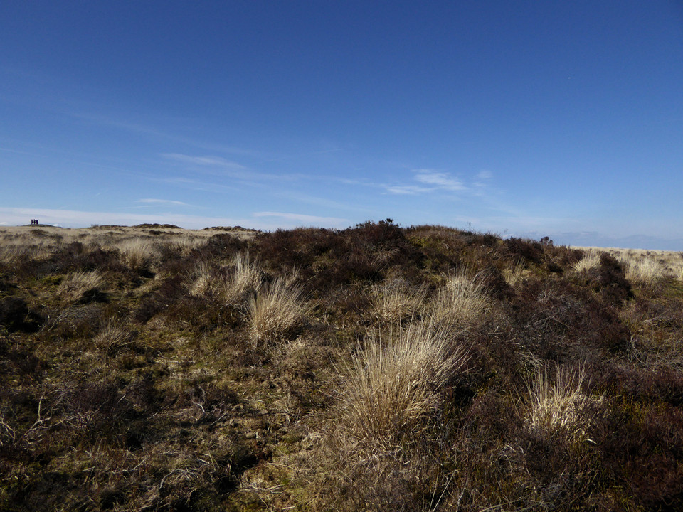
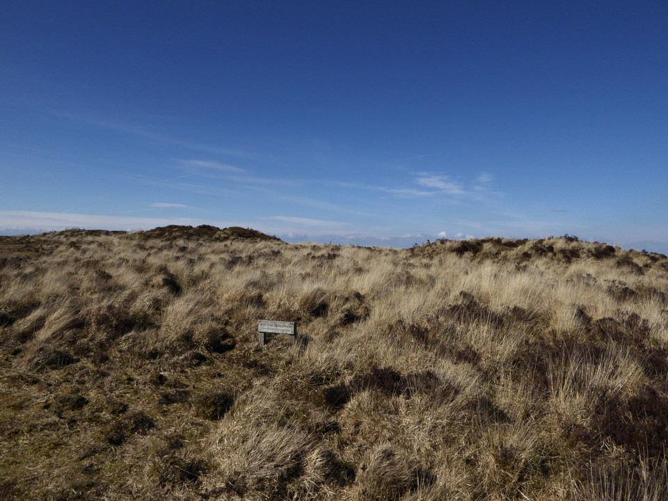
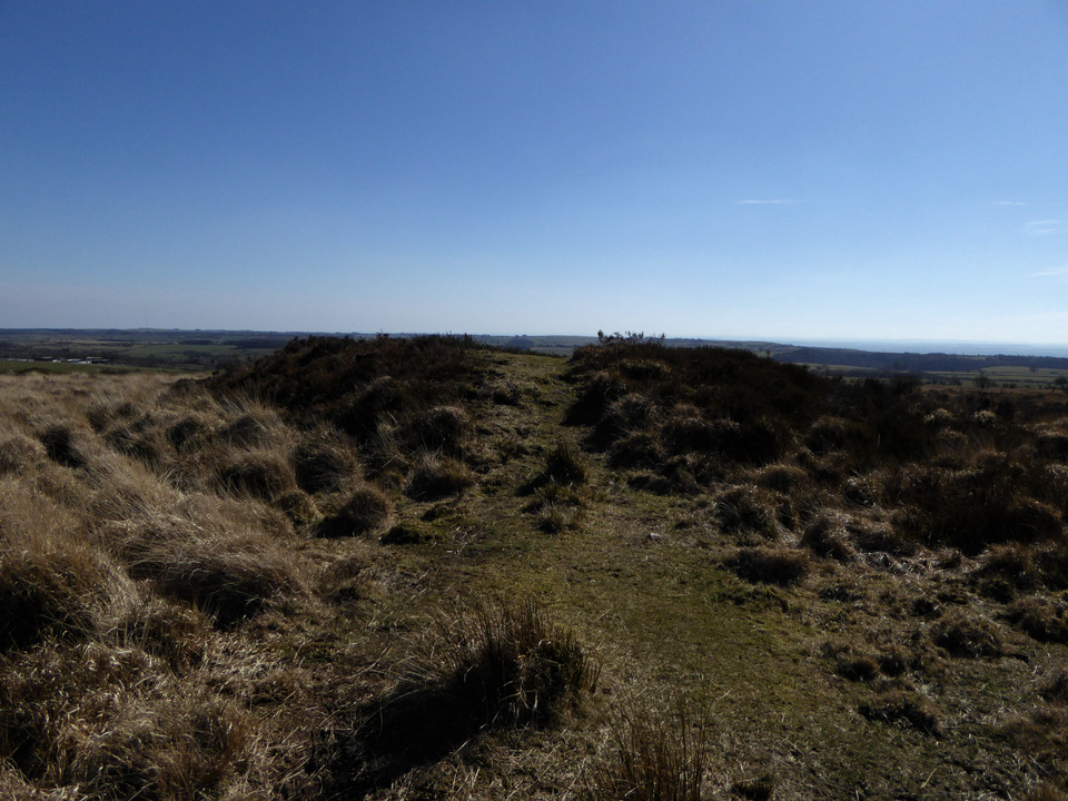
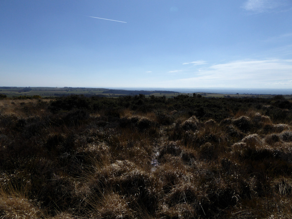
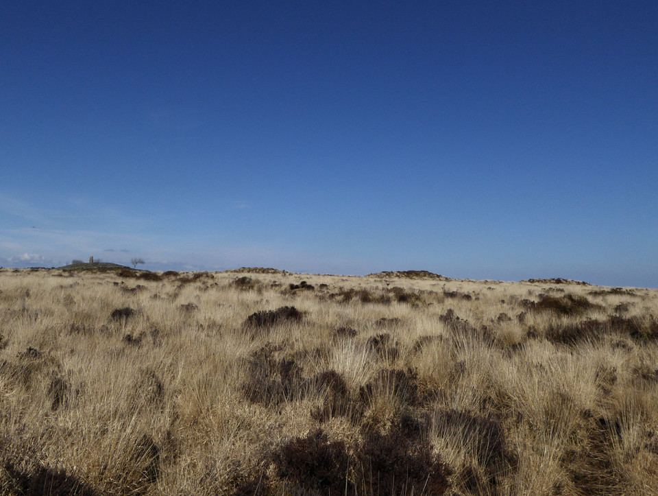
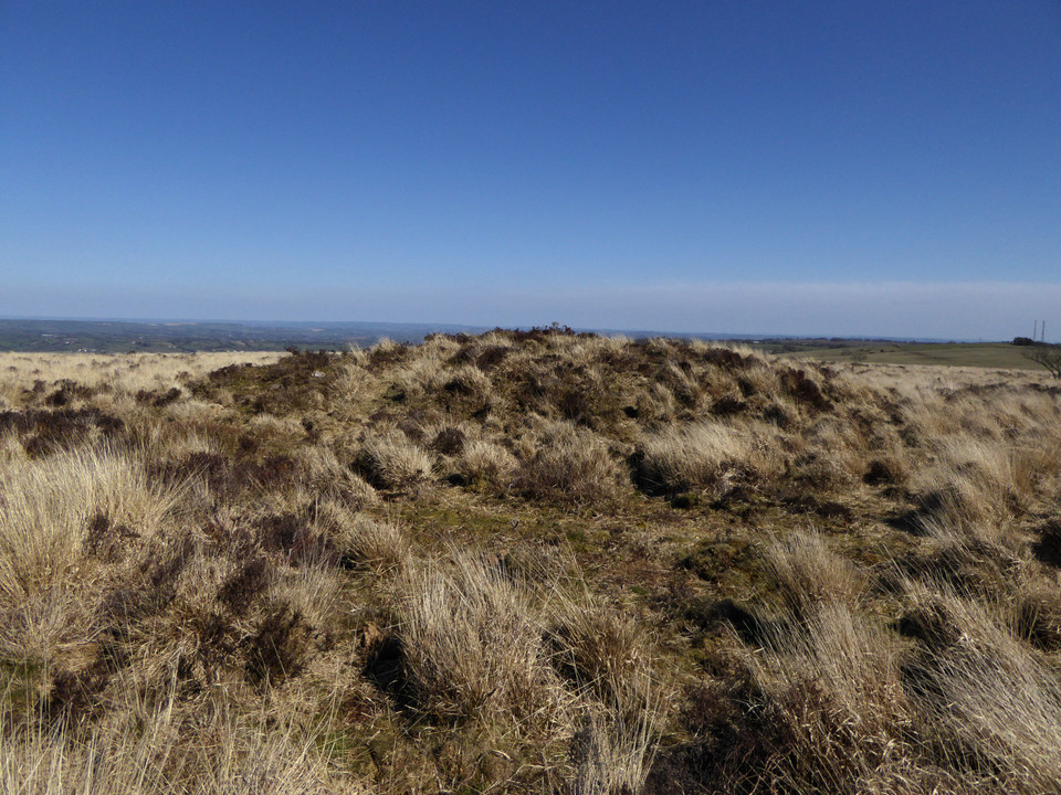
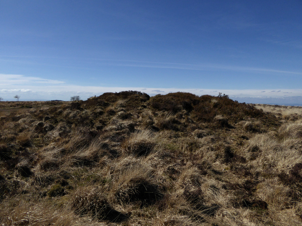
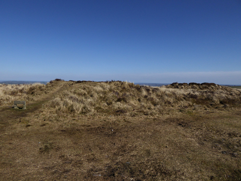
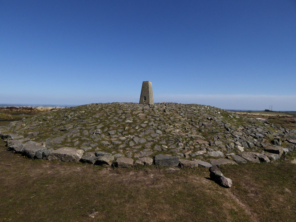
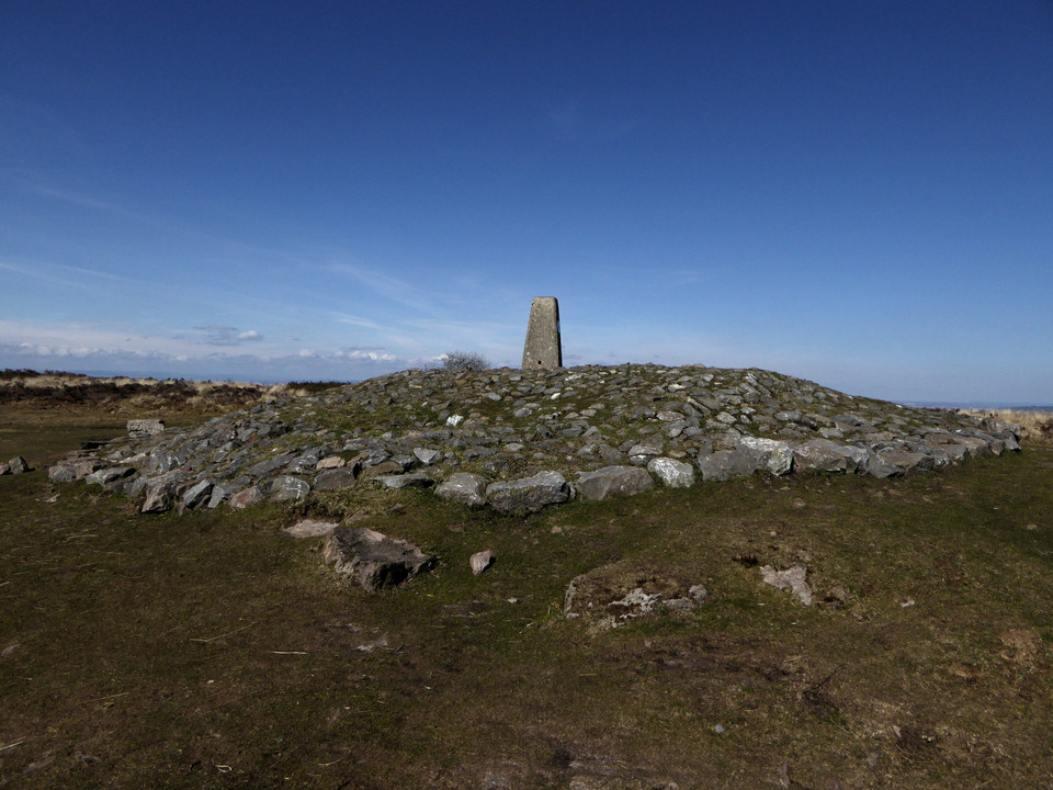
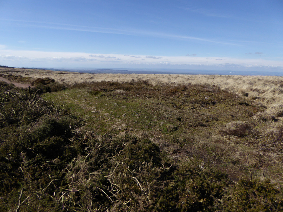
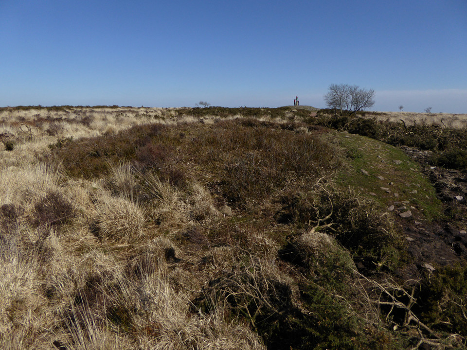
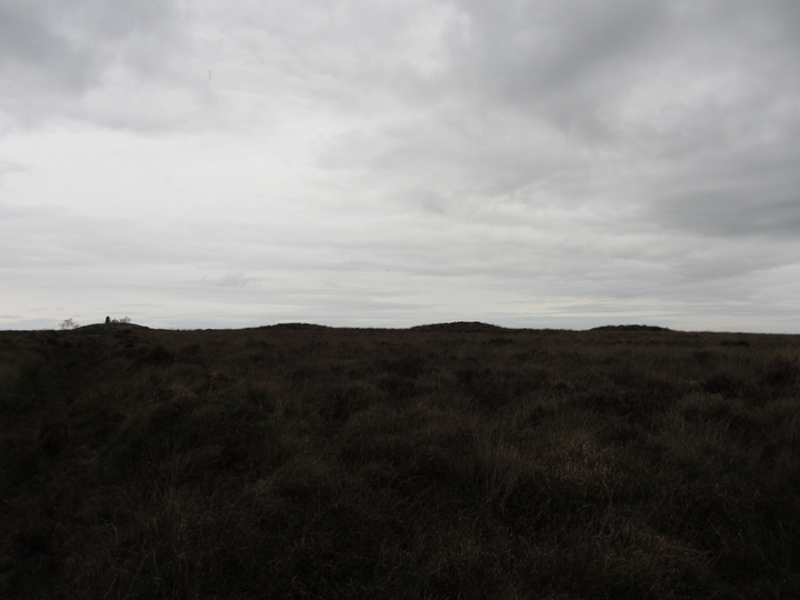
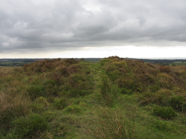
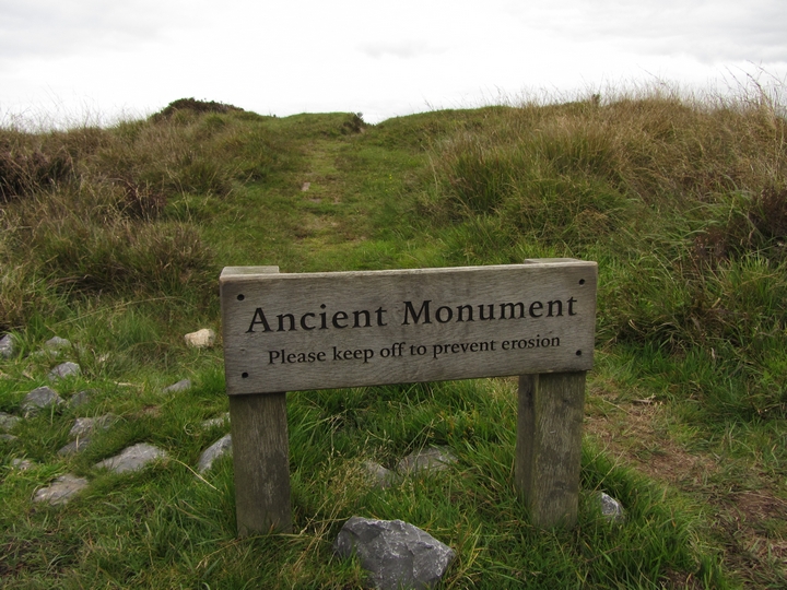
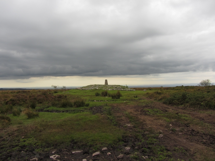
Back on the main path, the summit is obvious straight ahead. The map shows a big group of barrows and it’s coming back to me that Thelonious posted some photos a while ago. The going is not too bad as the weather has been dry, but would be horrible in wet conditions. The first barrow (Burrington 11) is to the north of the path, another substantial mound despite erosion and probable excavation. From it the barrow that the trig pillar sits on obscures the linear group to the east. The summit mound (Burrington 13) has obviously been resurfaced fairly recently with a new cap of stonework to protect it from erosion. This is the highest point of the Mendip hills and a fantastic viewpoint. As well as the views north and west that I’ve had for most of the day, there are now views south that take in Glastonbury Tor as well as Exmoor away to the southwest. It’s a well visited place as you’d expect, and while I’m here there are walkers, cyclists and horseriders at various times. The linear barrow group (Burrington 14-16) immediately east of the summit is also cracking, with wooden signs warning visitors that it is ancient monument and to keep off to prevent erosion. I imagine that the summit barrow itself was always going to be the target for most visitors, so this seems a good way to compromise and keep the other monuments from further damage. Two more barrows (Burrington 18 and 19) lie to the south, providing an excellent spot to head away from the other people and admire the linear group profiled along the skyline. On such a lovely day, with the wind and sun on my face, this is as good a place as I could wish to be. But by now it’s getting on for 3 o’clock, so I bid a reluctant farewell to the barrows and head east. The path has been resurfaced here and initially provides nice easy going after the boggier ridge. There is a last barrow on the south side of the path (Burrington 20) which sets me on my way downhill. Eventually the path comes to the edge of the open access land, with fields laid out to the east and another path running north-south. Right at the junction of these paths is another barrow (Burrington 22), but it’s low and buried in heather, offering little in comparison with the group on the summit. I head north briefly to look for a final barrow (Blagdon 1). It proves to be buried under the fence line and badly eroded. From here my path goes southwest, becoming increasingly wet and marshy. I’m soon hopping precariously from tussock to tussock, and it should come as no surprise to learn that one of the tussocks proves to be less solid than it looked. My tired legs refuse to keep me upright and I’m down on one knee, with an unpleasant feeling of cold, black water trickling into the top of my boot. Gah. This post appears as part of the weblog entry Mendip First - 2 April 2016
|
 Posted by thesweetcheat
10th April 2016ce Edited 10th April 2016ce |
|
This is a true 'palimpsest' of a landscape. There are a lot of bumps, and yes, some of them are bronze age barrows. But some of them are actually the remains of a bizarre scheme from WWII: an attempt to recreate the street plan of Bristol on top of a heathy hillside, to lure the bombers away from the city. You can read more on MAGIC's extract from the EH schedule: http://www.magic.gov.uk/rsm/33064.pdf From up here you can see for miles in practically every direction, and I am sure this is where I could see from the outlying circle at Stanton Drew. |
 Posted by Rhiannon
27th October 2004ce Edited 26th April 2005ce |
Miscellaneous |
|
|
The summit of Beacon Batch is crowned with a superb round barrow cemetery, one of which has been rebuilt and topped with an Ordnance Survey trig pillar. A further two barrows lie to the east on the edge of the open access land. Details of the prominent barrows from Somerset HER: Burrington 11/T170 (ST 48375725)This next is to the SE of the trig point and the linear group, on the south side of the path: Burrington 20/T126 (ST 4861057150)The next two lie to the south of the trig point: Burrington 18/T168 (ST 48455711)The final two barrows marked on the OS 1/25000 are to the east of the summit, on the edge of the access land: Burrington 22/T166 (ST 4899056930) |
Posted by thesweetcheat 10th April 2016ce |
| Phill Quinn's 'Holy Wells of the Bath and Bristol Region' mentions a spring below Black Down. It was / is? at ST484580, in a field called 'Hawkeswell Quoit' - so presumably it was the Hawkeswell. But what's this 'quoit'? Isn't that (bar referring to the game) a word for a standing stone? As Quinn says, it would be interesting if there was once a stone associated with the spring. Though perhaps we have got the wrong end of the stick in the pursuit of a good story. |
Posted by Rhiannon 27th October 2004ce |