|
|

|
|
Credenhill CampHillfort
|
||||||||||||||||||||||||
|
|
|
News |
|
Excavation results will feature in documentaryCardiff university and Herefordshire Archaeology have been excavating at Credenhill Park Wood to determine the full extent of its hillfort - which although little known is one of the largest in the country. Channel 4's 'Time Team' have agreed to survey the site using 'Lidar' to provide extra information... continues... |
 Posted by Rhiannon
9th October 2007ce Edited 9th October 2007ce |
Images (click to view fullsize) |
|
Photographs: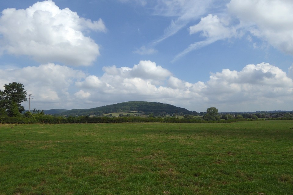


 Maps / Plans / Diagrams:
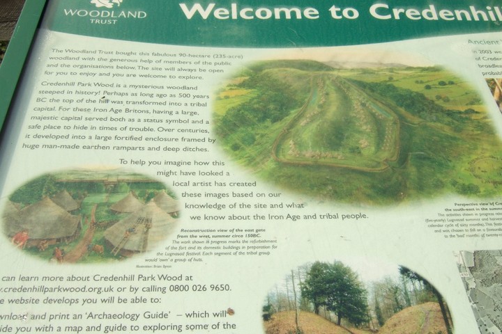
|
Fieldnotes |
|
|
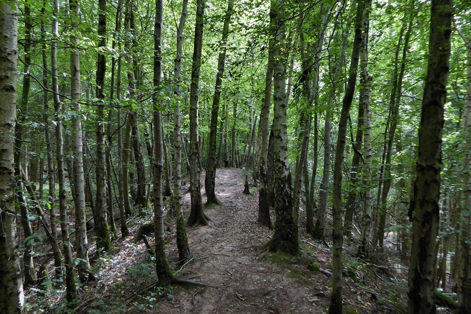
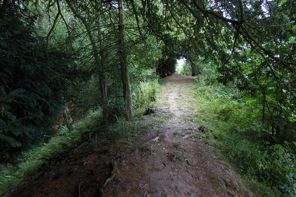
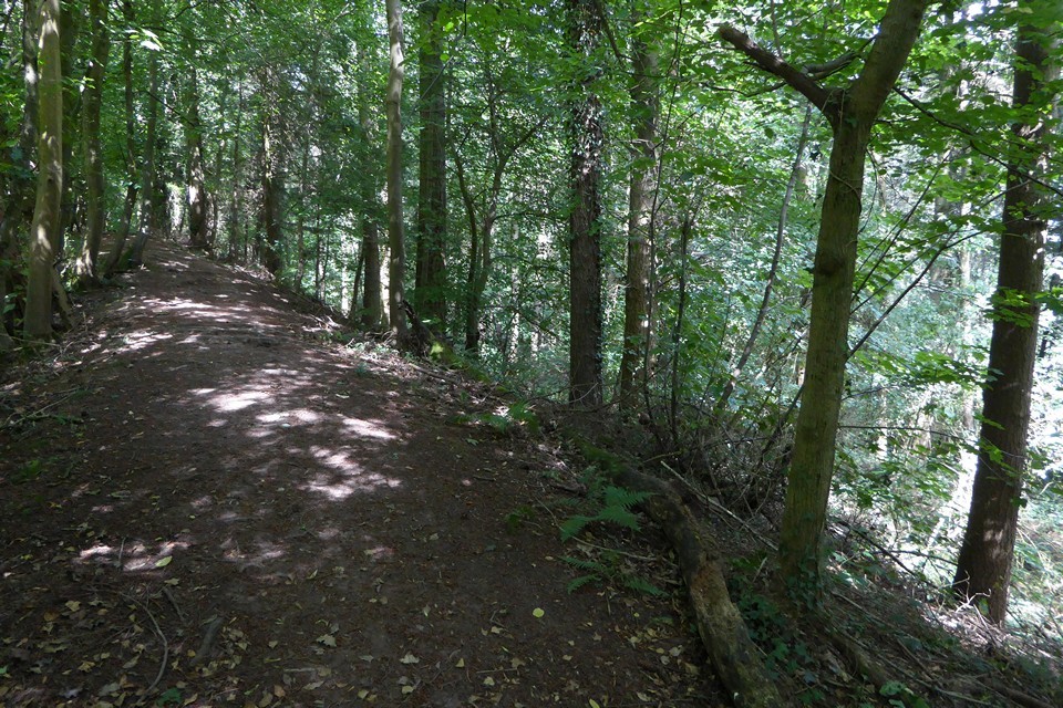
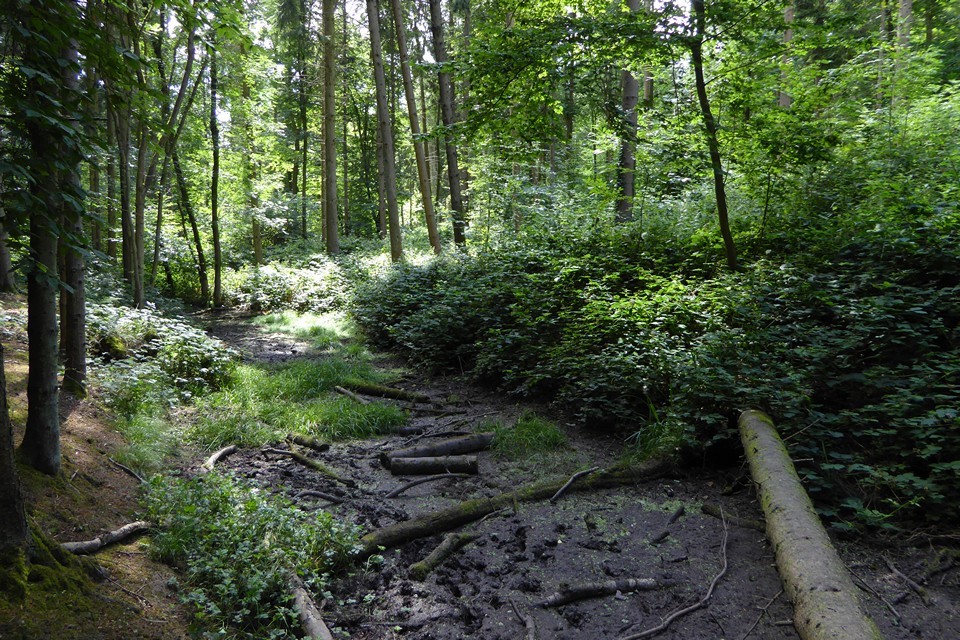
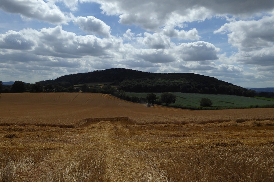
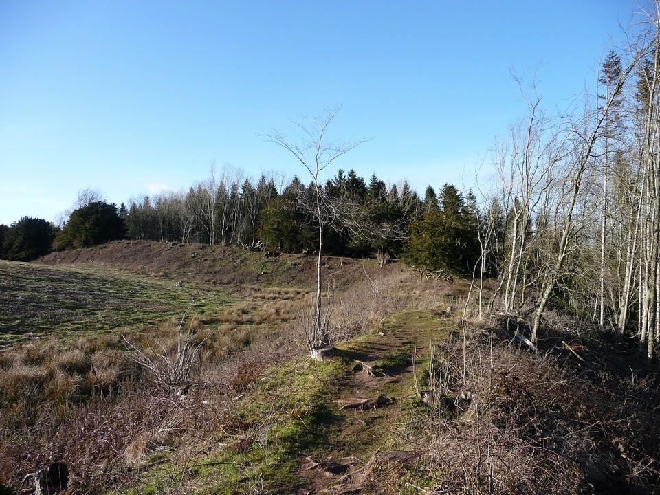
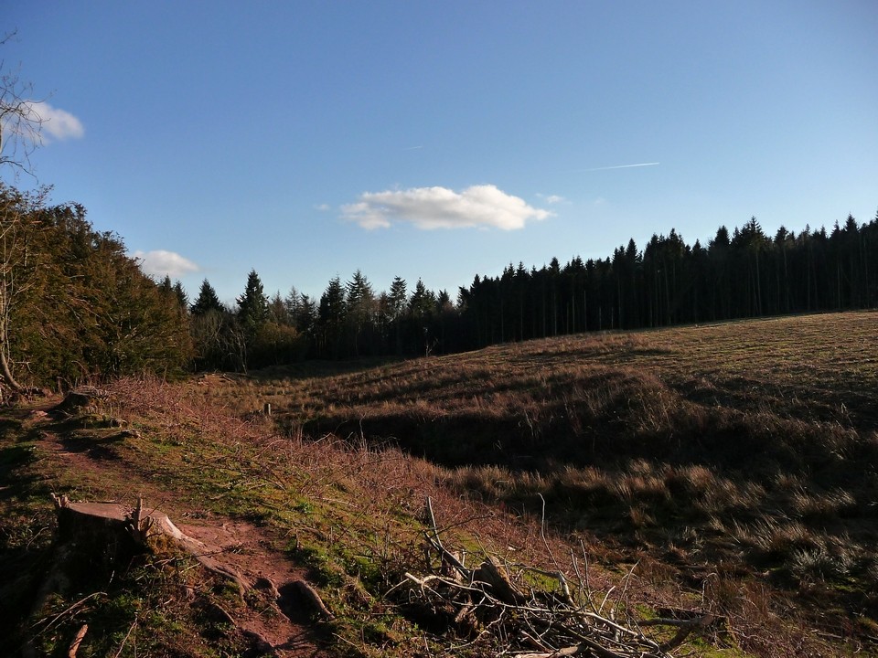
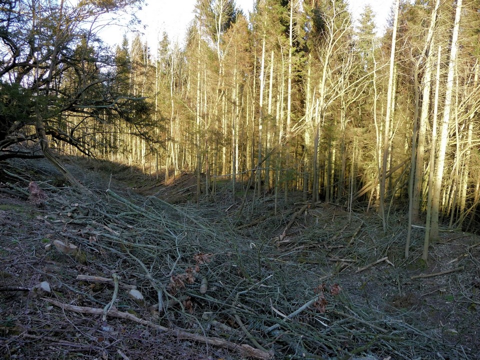
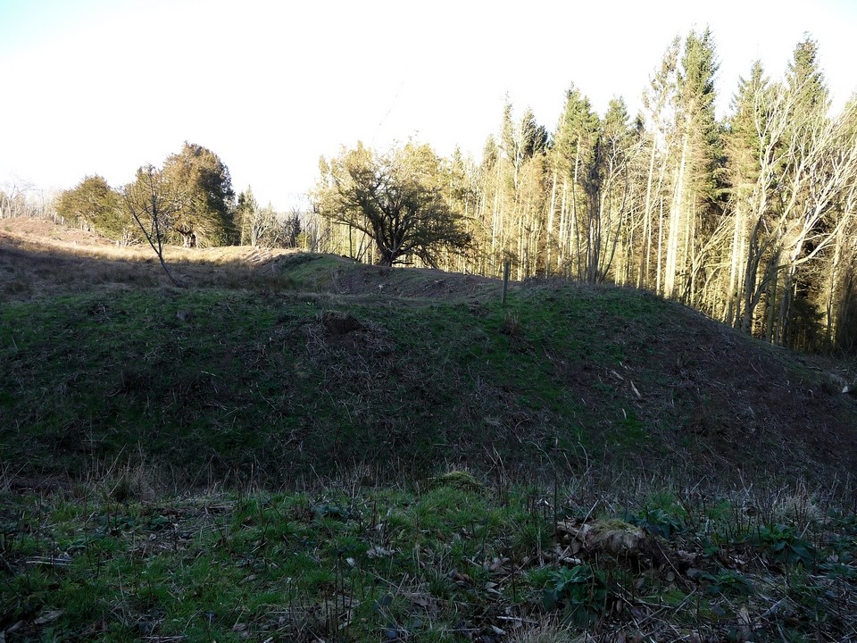
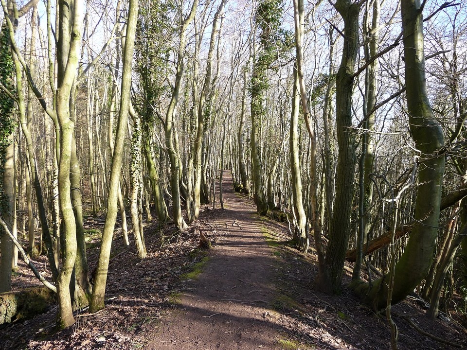
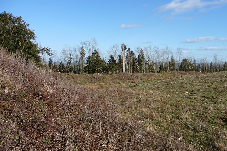
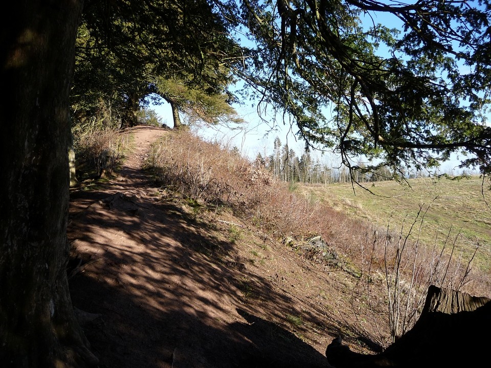
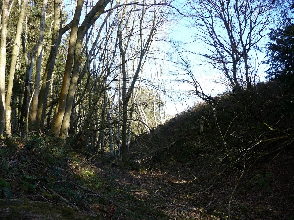
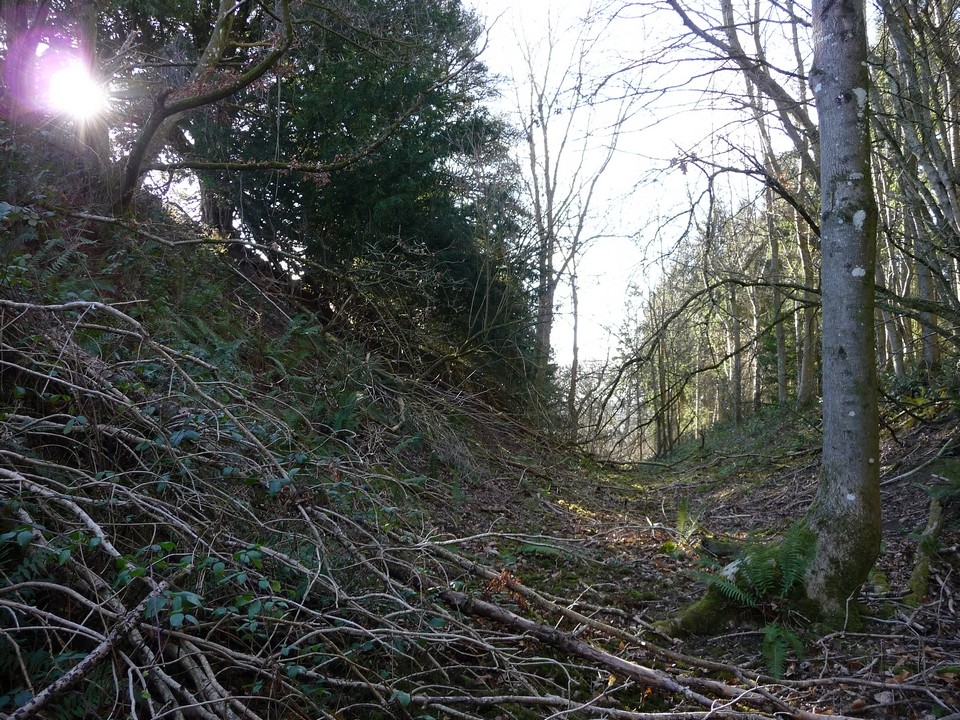
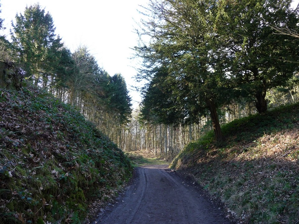
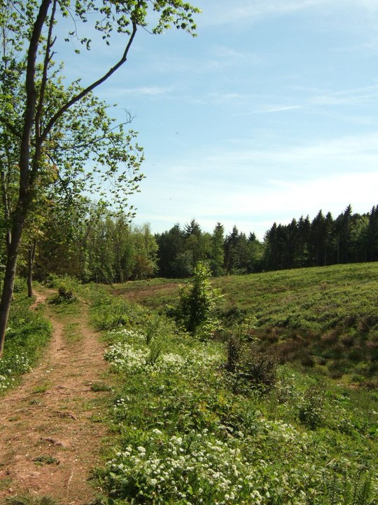
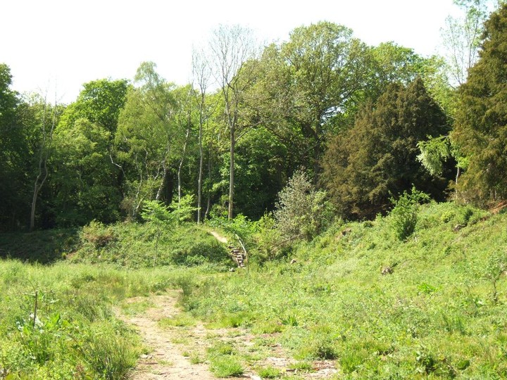
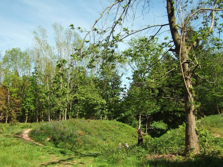
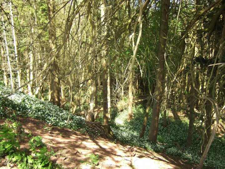
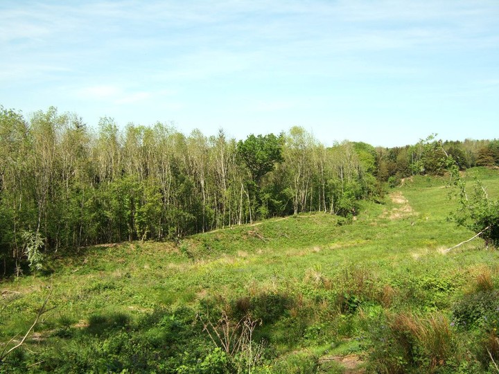
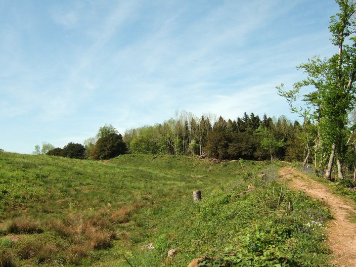
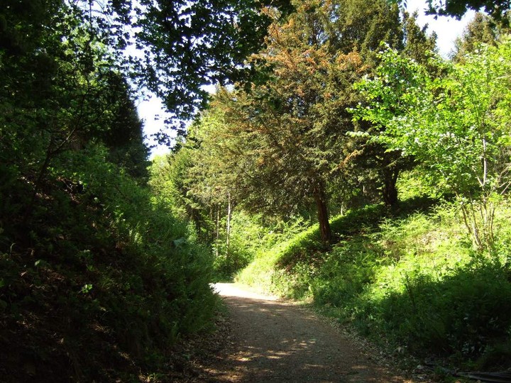
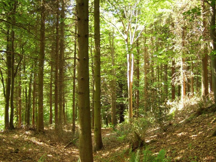
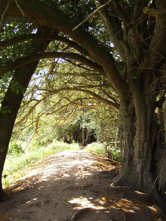
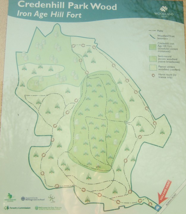
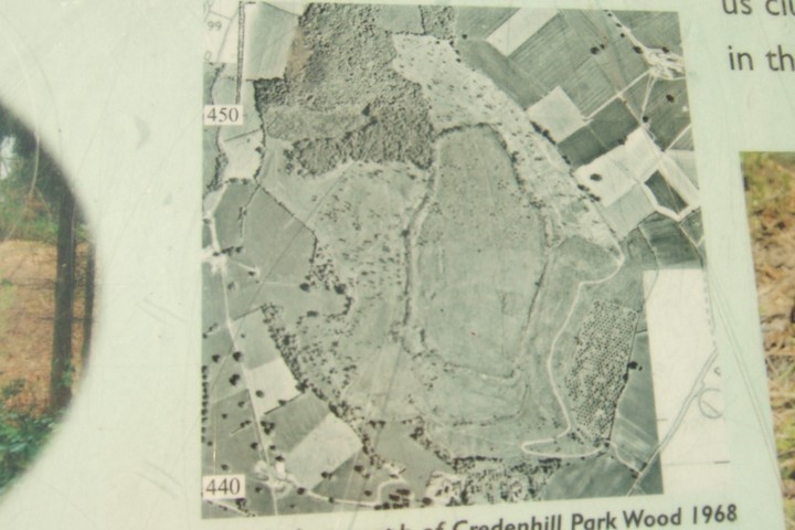
The Kington bus deposits me near to Credenhill church. As this is an unprompted and unplanned visit, I don’t have a map (the horror), so I rely on the brown tourist sign pointing up a minor road (also signposted “Tillington”). I do at least have Children and Nash’s “Prehistoric Sites of Herefordshire” in my bag, so I have got a plan of the fort itself. Reaching the parking area, there are a number of signboards about, including one with a picture of a rather stylised Iron Age warrior (nice blanket). Of more interest, given my maplessness, are the two trails shown on the plan. There’s a lower trail (red squares) and a higher “ramparts” trail (yellow triangles). Which proves to be invaluable and means that you can easily find your way around without a map. The hilltop is managed by the Woodland Trust and they have allowed access to the whole site. There are quite a lot of cars parked up, so it looks like a popular spot. The path climbs up through the trees, easy walking and not particularly steep. At length I come to a gate (yellow triangle painted on it) and the path curves round to the left. What appear to be earthworks, heavily tree-covered come into view on my left and then an enormous entrance looms. The forestry track cuts straight through and so do I. I don’t realise that I’ve missed a crucial yellow triangle, painted on a tree-trunk above the path to the right, just before it went through the rampart, so I’m actually walking onto the fort interior now. Signs warn me of forestry operations and eventually I emerge at the edge of trees onto a very large open space. Various forestry apparatus is about, but no people, so I carry on. I’m now standing in the centre of the fort. The clearance extends for at least half of the site and a very big site it is too. The largest hillfort in Herefordshire by some distance, and bigger than Dorset’s Maiden Castle too. The views open out, the Black Mountains looking almost near enough to touch to the south, the Malverns more distant to the east. I cross the open and silent interior, heading for the far treeline. Here the vast rampart reveals itself, a tremendous earthen bank stretching away to my left and right around the northern end of the fort. Beyond there is a deep ditch, rather overgrown, and then the natural slope of the hill. I head westwards along the rampart, now back on the yellow triangles. At the northwestern corner I come across the “red squares” trail – it’s apparent that this gives a good view of the rampart from its outside. I climb back up onto the inner trail and head south. The eastern rampart and ditch are strongly built and still rather awe-inspiring despite the covering vegetation. I think though that I’ve been rather spoiled by the earlier visit to Wapley Hill, as I’m not quite as blown away by this fort as I might otherwise have been. The path re-enters the trees and once more I think of Gladman. I think you’d like it here Mr G. Unfortunately my camera battery is now almost dead, the sheer volume of earthworks seen today have been too much for it! I head around the southern rampart, back towards the entrance at the southeast corner where I first missed the yellow marker. Seen from above, the entrance is even more impressive, with massive inturned banks to daunt the visitor (friend or foe). I now carry on around the eastern side. The ditch is partly silted up here, a muddy plunge pool in one place. But the size of the earthwork is enough to make me stop and wonder, as I did at Wapley, the manpower that such an undertaking would have required. Further along to the east is a second original entrance, again with inturned banks flanking it powerfully. I wonder why the two entrances are so close together? If, as has been speculated, this was a regional capital rather than a purely defensive site there must be some significance, but I have no idea what. Tradesmen’s entrance? Back out of the trees, the light is now low and long shadows are cast. Sadly my camera gives up the ghost at this point. This turns out to be not all bad, as I spend a quiet time just sitting on the bank at the northeastern corner of the fort. It’s so quiet, the silence broken only when a woodpecker hammers away in the woods. Eventually I head on, back along the northern rampart but this time head off the rampart onto the “red squares” trail. This gives a different perspective on the rampart from the outside, reinforcing its power. What a statement this place must have made. This post appears as part of the weblog entry Shadows and tall trees – Herefordshire hillforts 25 February 2012
|
 Posted by thesweetcheat
26th February 2012ce |
Miscellaneous |
|
| Just catching up on "Broadleaf". Strategically placed in Welsh Marches, bivallate hillfort in Credenhill Park Wood purchased by the Woodland Trust. Larger than Maiden Hill - ramparts in places maxing out at 250m wide and 60m high. SAM SO44SE 1. |
3rd April 2004ce |