|
|

|
|
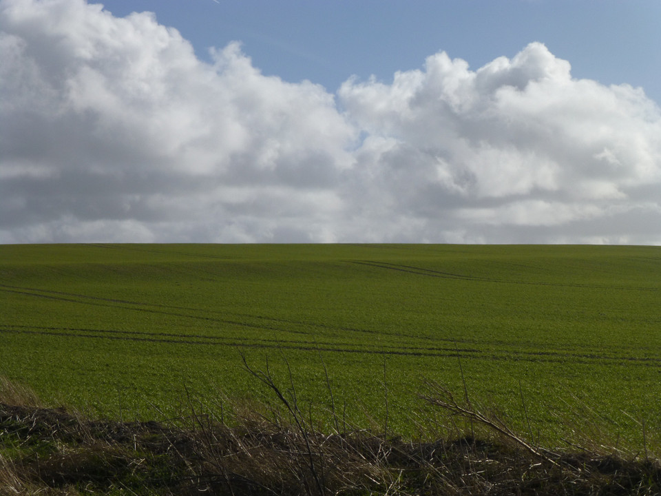
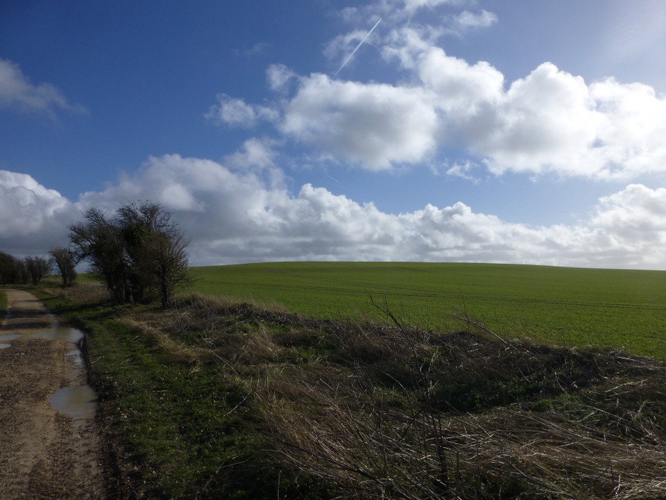
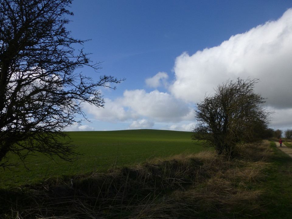
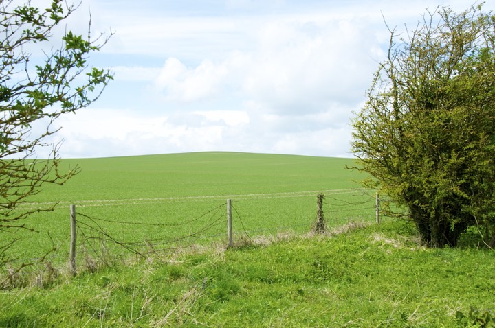
Rams HillEnclosure
|
|
|
|
Images (click to view fullsize) |
|

|
Fieldnotes |
|
|
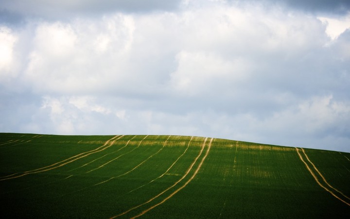
View from afar 13.11.11 Whilst driving north along the minor road from Lambourne 7 Barrows towards the Blowing Stone I looked over to my left towards Rams Hill. I wasn't planning a visit and just happened to look over to see if I could see anything. I was in luck. The crops were in and the grass low. The sun was in just the right position in the sky and I could clearly see the contour of a ditch, cast in shadow, running around the eastern slope of Rams Hill. The ditch was about a quarter of the way down the slope from the top of the hill. Had the sun not been in the position it was I probably wouldn't have been able to see anything. As I say, I was in luck. |
Posted by CARL 16th November 2011ce |
|
Rams Hill lies adjacent to the Ridgeway between blowingstone hill and white horse hill. It is very easily missed as all that remains is a prominent, but gently sloped hill. If you look carefully, you can just (and I mean just!) make out the much eroded remains of a single bank and ditch just below the crown of the hill. The hill itself is small but sufficient to stand out in the surrounding topography. On the OS map, Rams Hill is marked as a 'fort'. This is slightly misleading. It is not a hillfort of the Iron age, but a neolithic structure known as a 'causewayed camp'. Its original use seems to have been as a meeting place for trading and possibly ceremonial purpose. Its position relative to the White Horse and Uffington castle should be noted. Also, on foot it is not far from Lambourn Seven Barrows. |
4th November 2003ce Edited 27th September 2007ce |
Miscellaneous |
|
|
At Rams Hill, on the downs about two miles north of seven barrows, part of the hilltop was at first enclosed by a bank and ditch; but around 1500BC stronger defensive ramparts were put up, with stout palisades on either side of the ditch. Recent excavations suggest that Uffington Castle may have superseded Rams Hill when a much larger and stronger encampment was needed. Daphne Phillips Berkshire - A County History |
13th May 2007ce |
|
"The name occurs in the form hremmes byrig in a Saxon charter of A.D. 940 (Chron. Monast. Abingdon, vol. 1, p.70), and means 'raven's fort'." The Scouring of the White Horse G. W. B. Huntingford The Journal of the Royal Anthropological Institute of Great Britain and Ireland, Vol. 87, No. 1. (Jan. - Jun., 1957), p. 105. |
 Posted by Rhiannon
15th October 2006ce |
|
What is a causewayed camp? Unlike an iron age hillfort, where the ditch and bank runs almost completely around the fort, a causewayed camp has a ditch which is crossed many times with entrances. An iron age hill fort is for defence, a causewayed camp is not. Its prime purpose is not defensive in nature. It was first thought that they were enclosures for cattle in the Neolithic period. Many bones from culled animals of many types were found in the ditches surrounding these structures. It is thought that they performed a variety of social, economic and religious functions for early neolithic communities. |
4th November 2003ce Edited 27th September 2007ce |