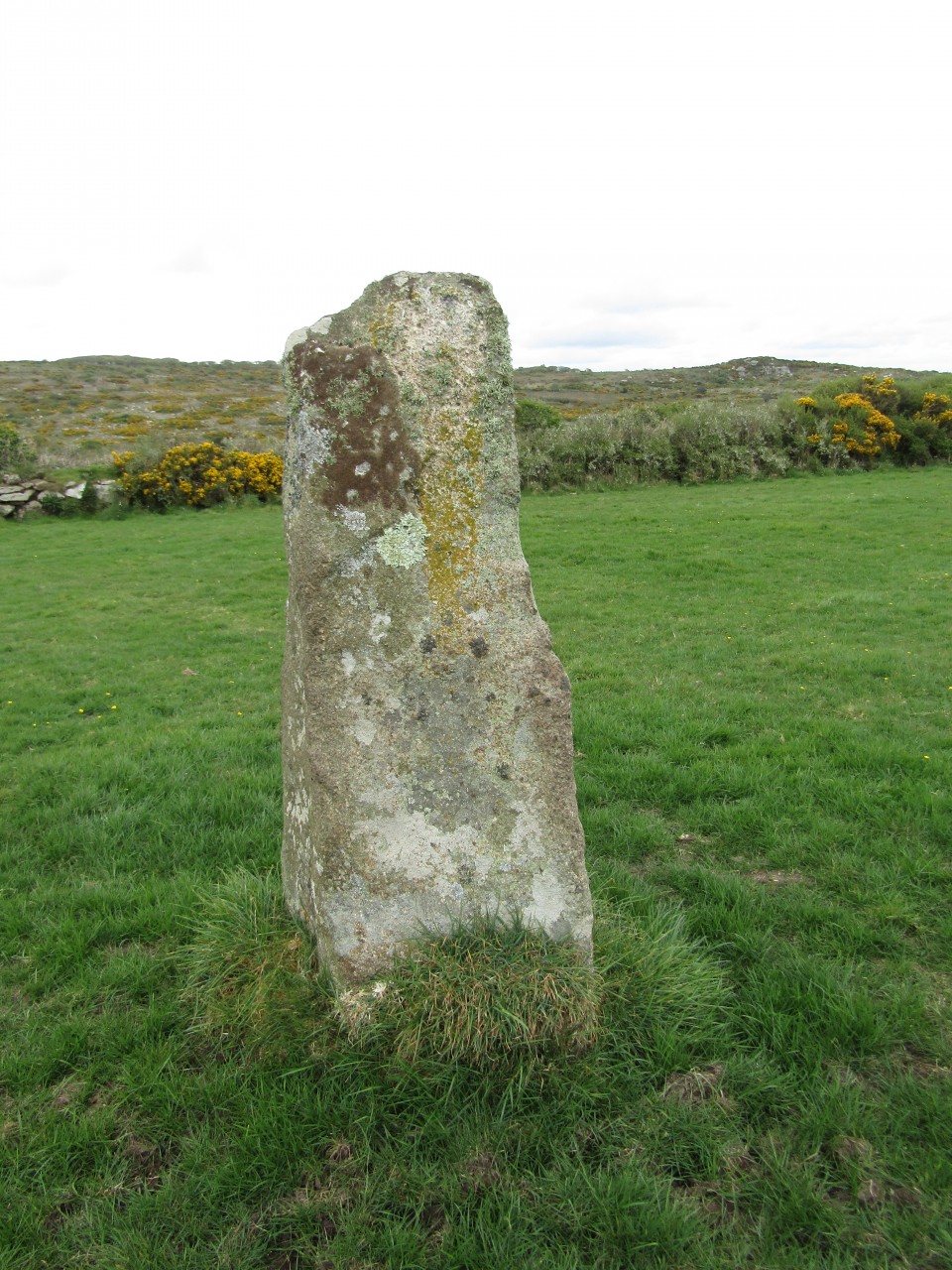
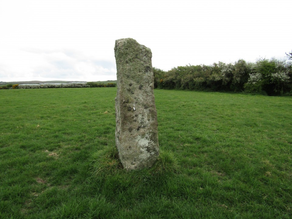
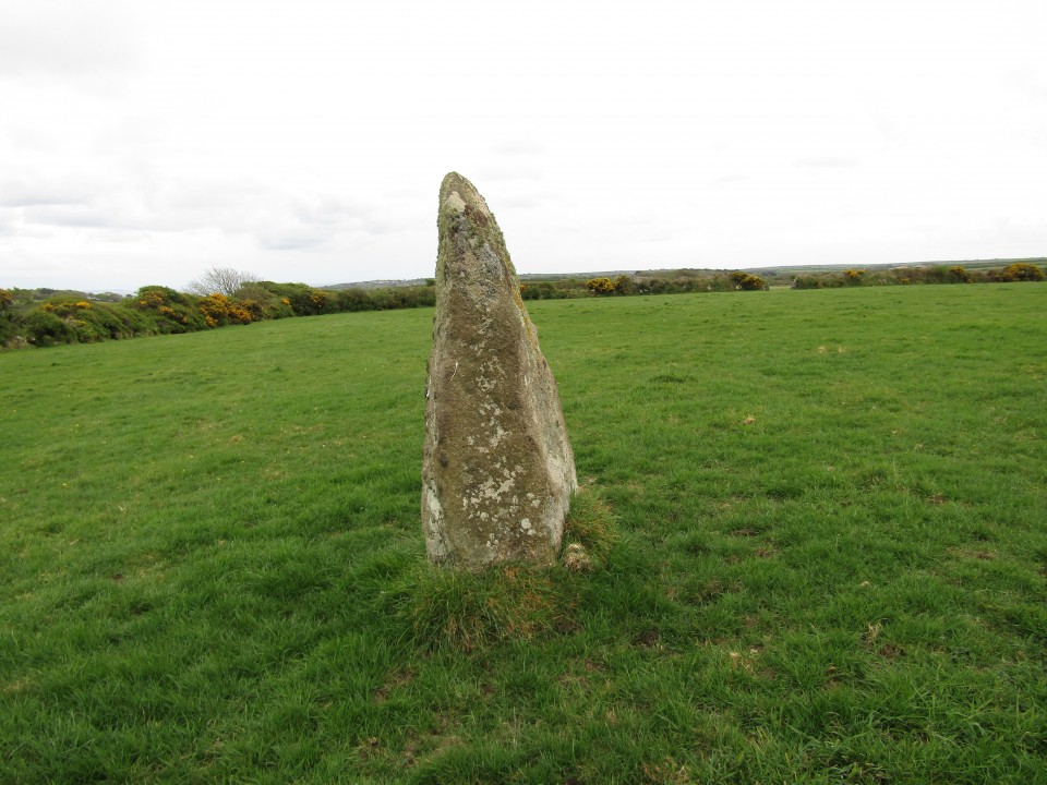
On the other side of the road, the third field on the Penzance side of the farm-hamlet of Trewren, is a stone of similar character to those last mentioned*, now used as a rubbing-post for cattle. This stone is six feet five inches high, averages six feet in circumference, and is tapering towards the top. In an adjoining field is another used for a similar purpose, tapering towards the top, of wedge-like form, six feet in height, and eight feet in circumference at the base. Both these stones appear to be too large to have been erected originally for rubbing-posts.
SW432320 - One of a former pair of menhirs (the other was destroyed circa 1958) standing close to Trewern Round an Iron Age mound. Stands 1.9m tall. On private land.

 Artistic / Interpretive:
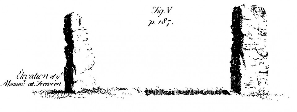
 Posted by Rhiannon
 Posted by pure joy