Image Credit: Natural Resources Wales
Image credit: LiDAR Composite Dataset. Contains public sector information licensed under the Open Government Licence v2.0.
Image Credit: Natural Resources Wales


Looking over the eastern rampart towards Priestholm (Puffin Island) with Great Orme behind.

The interior is now a lush meadow, hiding any structures but providing a lovely haven for butterflies and insects.


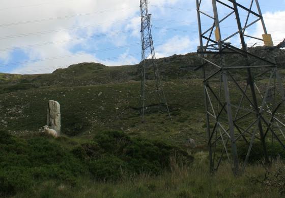
Some of the stones that formed the base of the original defensive wall. These are some of the stones shown on the 1869 drawing.

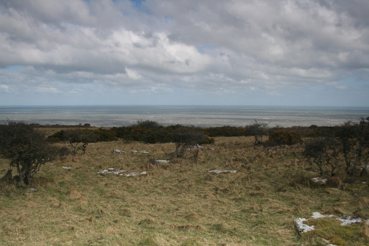
The view southeast towards the Carneddau mountains and Llanfairfechan.

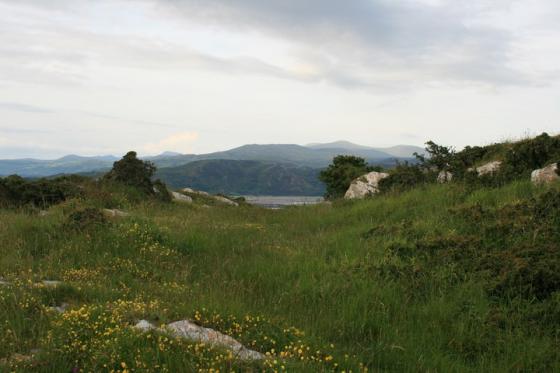
Looking down on Traeth Coch/Red Wharf Bay from the western rampart.

Looking southwest from the southeastern corner of the fort.

The southeastern corner of the fort, where quarrying has destroyed the line of the rampart.

Bwrdd Arthur is the very obvious flat-topped eminence towards the left-hand end of the headland opposite. Looking across Traeth Coch – Puffin Island (Priestholm) far left, Snowdonia’s mountains glowering from underneath the clouds the background.

From W Wynn Williams’ article on Din Sylwy.
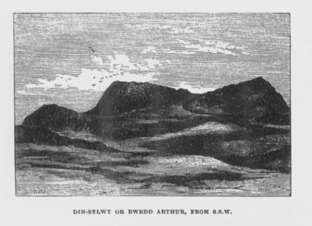
From W Wynn Williams’ article about Din Sylwy.

Looking over the western ramparts to Puffin island and Llandudno

ramparts on the north-west side
These limestones outcrops are I think Arthurs table and chairs

These large stones are set into the inner bank of the fort and are I hope an original feature


Looking toward red wharf bay over the lower earthwork (defined by gorse hedge)
I parked by the little chapel at the foot of the hill and from there we scrambled through the bushes and into the hillfort. It’s a big one,not high up or impressive earthworks but it does cover a large area. Fantastic views south of the Menai straight and mountains east over Puffin island to Llandudno west across the beach and island and north is across the sea. I think I even found Arthurs table with seats but I couldn’t find the entrance.
This hill fort overlooking the sea contains ‘Bwrdd Arthur’ – Arthur’s Table. If you search you can find a large circular stone with 24 ‘seats’ around. The geologically-minded might interpret this as part of a limestone pavement.