The Modern Antiquarian. Stone Circles, Ancient Sites, Neolithic Monuments, Ancient Monuments, Prehistoric Sites, Megalithic MysteriesThe Modern Antiquarian


Cnoc Na Cairidh

Stone Fort / Dun

<b>Cnoc Na Cairidh</b>Posted by LesHamiltonImage © Les Hamilton
Nearest Town:Uig (16km NE)
OS Ref (GB):   NG2634454054 / Sheet: 23
Latitude:57° 29' 38.39" N
Longitude:   6° 34' 4.54" W

Added by LesHamilton


Discussion Topics0 discussions
Start a topic


Show map   (inline Google Map)

Images (click to view fullsize)

Add an image Add an image
<b>Cnoc Na Cairidh</b>Posted by LesHamilton <b>Cnoc Na Cairidh</b>Posted by LesHamilton <b>Cnoc Na Cairidh</b>Posted by LesHamilton <b>Cnoc Na Cairidh</b>Posted by LesHamilton <b>Cnoc Na Cairidh</b>Posted by LesHamilton <b>Cnoc Na Cairidh</b>Posted by LesHamilton <b>Cnoc Na Cairidh</b>Posted by LesHamilton

Fieldnotes

Add fieldnotes Add fieldnotes
Visited: June 25, 2019

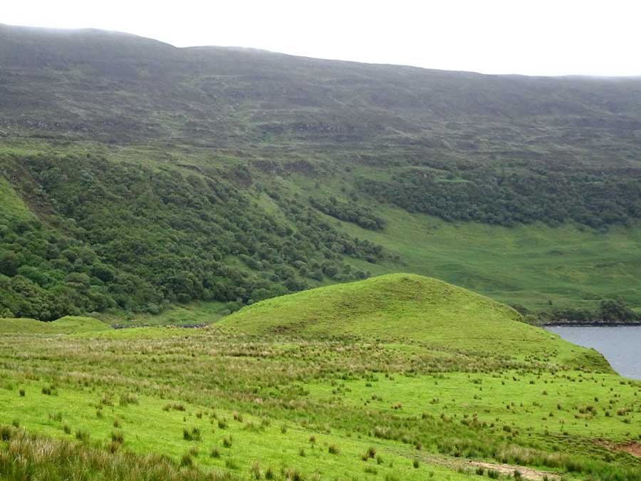
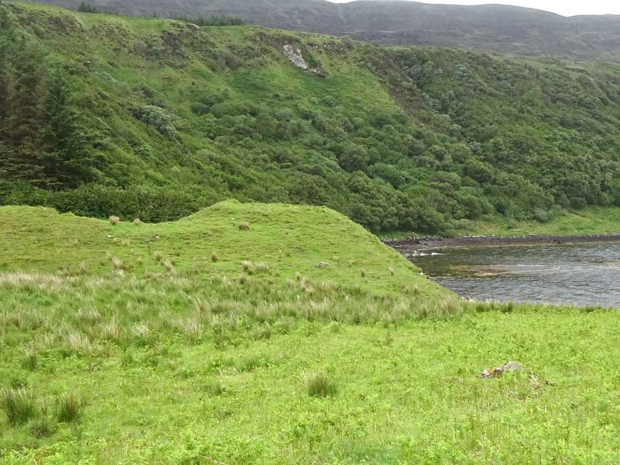
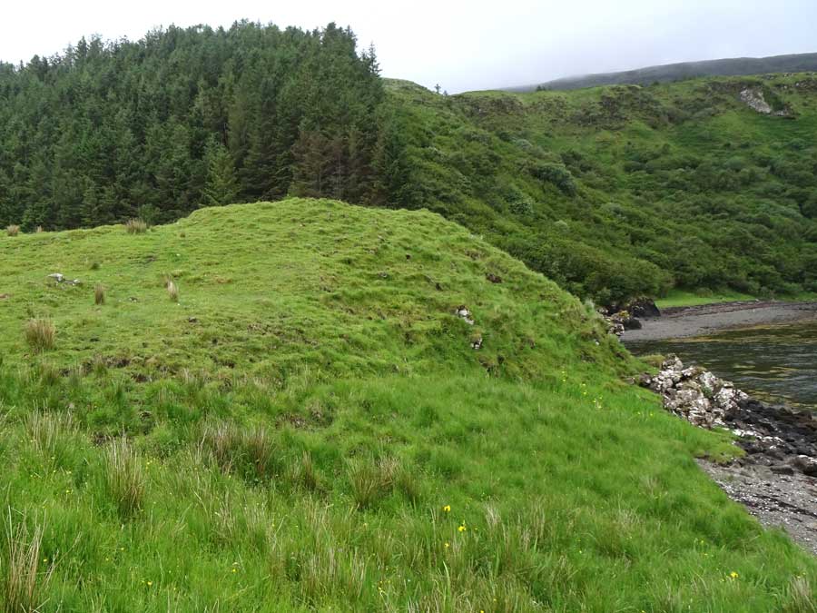
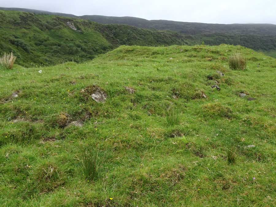
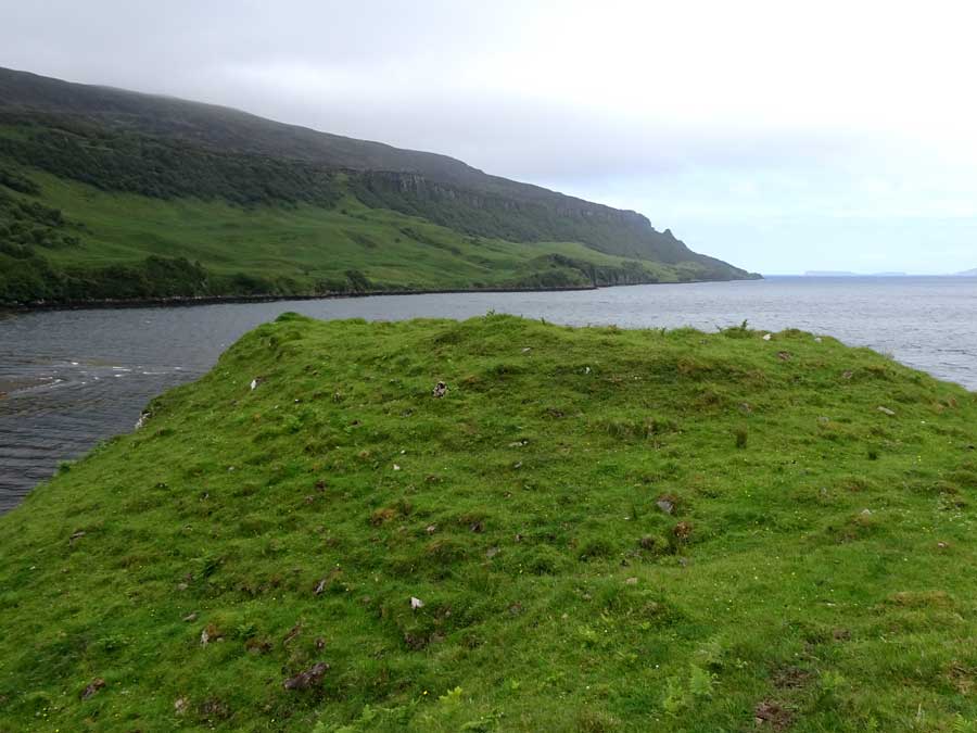
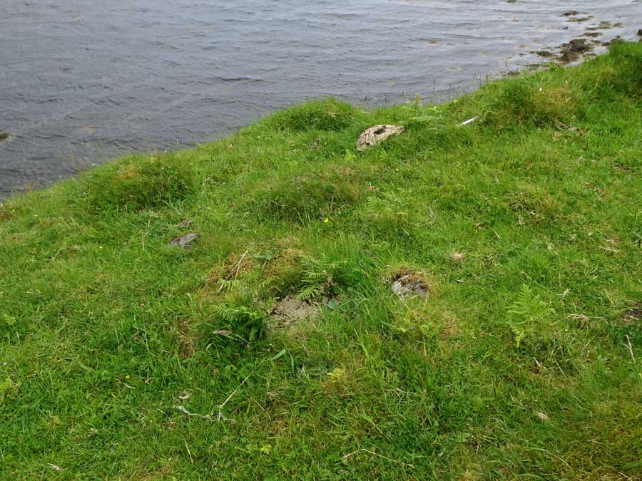
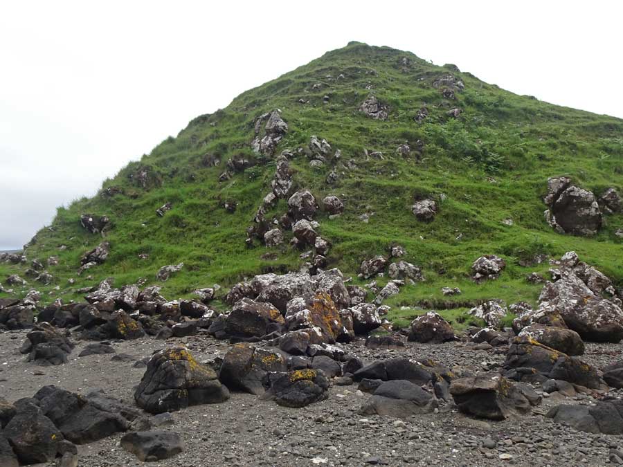
Rising steeply on the east bank of the Bay River, at the point where it debouches into Loch Bay, stand the remains of a small dun. Little in the way of structure remains: boulders just peeping from the turf on the seaward side hint at a possible defensive wall, as does a line of largely buried boulders curving round the eastern flank. Otherwise, this is just a grassy mound, falling steeply to the north and west, but down easy slopes elsewhere.

To access this site, head north from Fairy Bridge on the B886 for almost exactly 3 kilometres where, at NG272544, an unsugnposted, unclassified road leads off to the left towards the tiny community of Bay. Follow this road for about 600 metres to its end, where there is space to park. A gate leads to a path down to the coast. You can either follow the coastline, or head directly over easy grassy terrain towards Cnoc Na Cairidh.
LesHamilton Posted by LesHamilton
12th August 2019ce
Edited 13th August 2019ce