The Modern Antiquarian. Stone Circles, Ancient Sites, Neolithic Monuments, Ancient Monuments, Prehistoric Sites, Megalithic MysteriesThe Modern Antiquarian


Dun Tom na h-Uraich

Stone Fort / Dun

<b>Dun Tom na h-Uraich</b>Posted by LesHamiltonImage © Les Hamilton
Nearest Town:Uig (12km SSW)
OS Ref (GB):   NG45067390 / Sheet: 23
Latitude:57° 40' 57.69" N
Longitude:   6° 16' 38.65" W

Added by LesHamilton


Discussion Topics0 discussions
Start a topic


Show map   (inline Google Map)

Images (click to view fullsize)

Add an image Add an image
<b>Dun Tom na h-Uraich</b>Posted by LesHamilton <b>Dun Tom na h-Uraich</b>Posted by LesHamilton <b>Dun Tom na h-Uraich</b>Posted by LesHamilton <b>Dun Tom na h-Uraich</b>Posted by LesHamilton <b>Dun Tom na h-Uraich</b>Posted by LesHamilton

Fieldnotes

Add fieldnotes Add fieldnotes
Visited: May 25, 2016

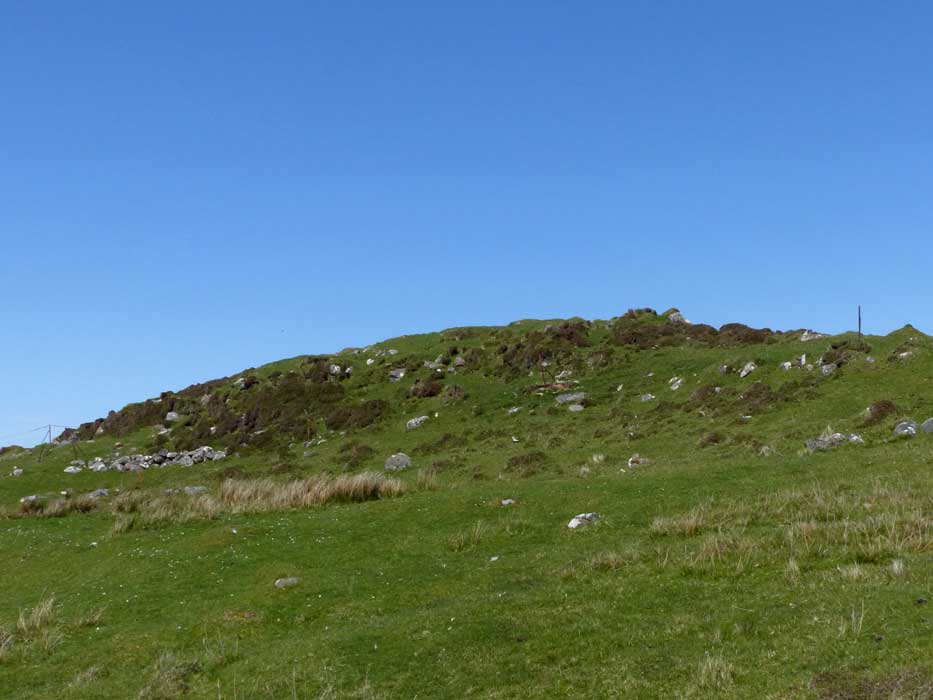
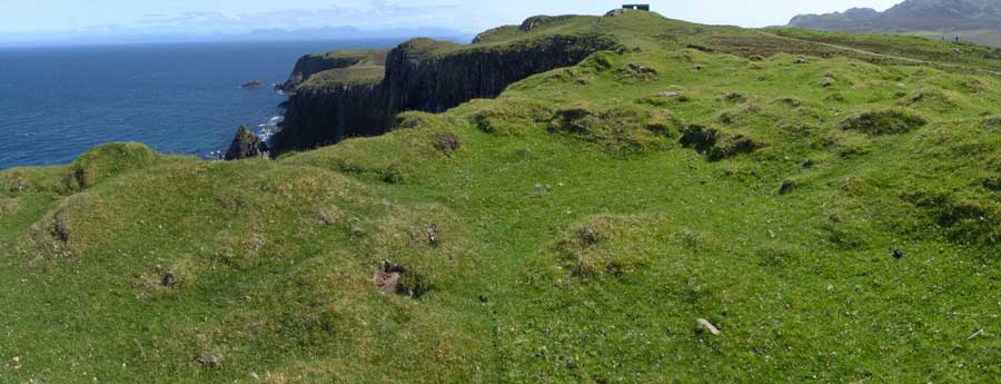
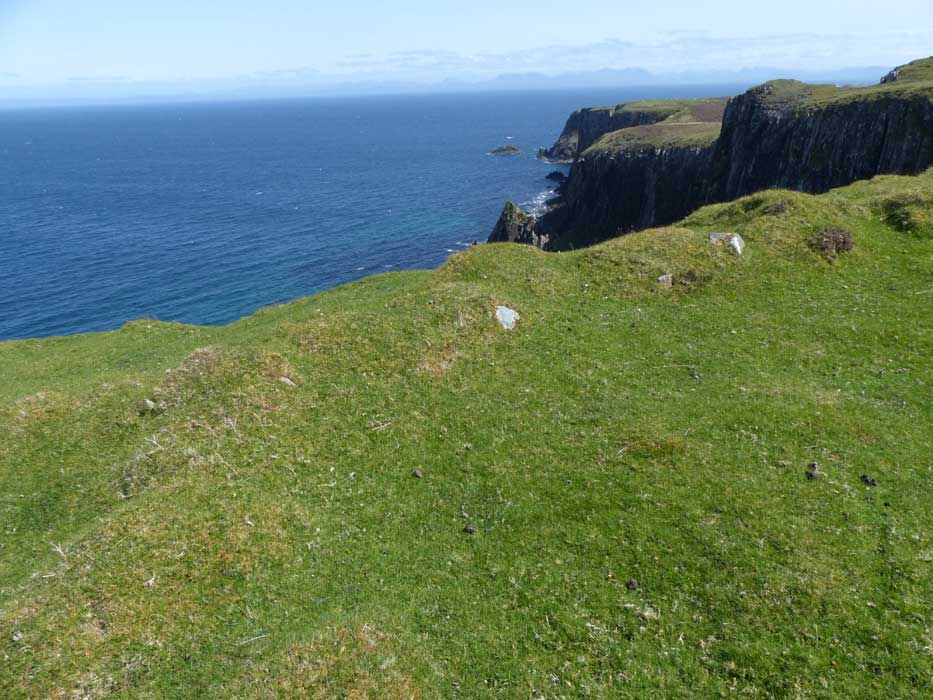
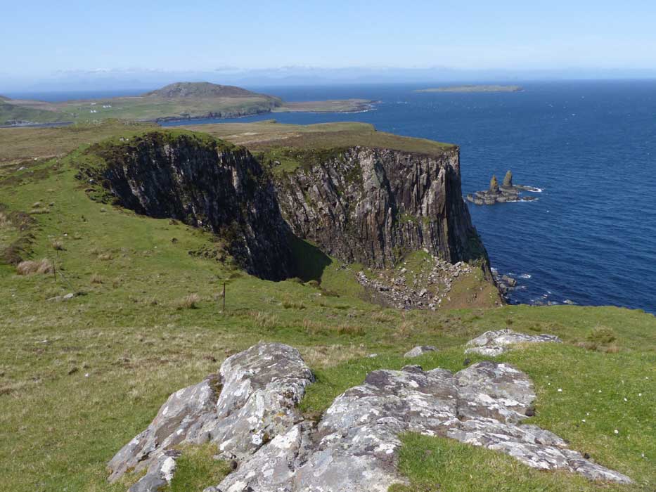
The scant remains of Dun Tom na h-Uraich stand on the very lip of the sea cliffs at the point where the A855 turns west towards Duntulm at the far north of the Trotternish Peninsula.

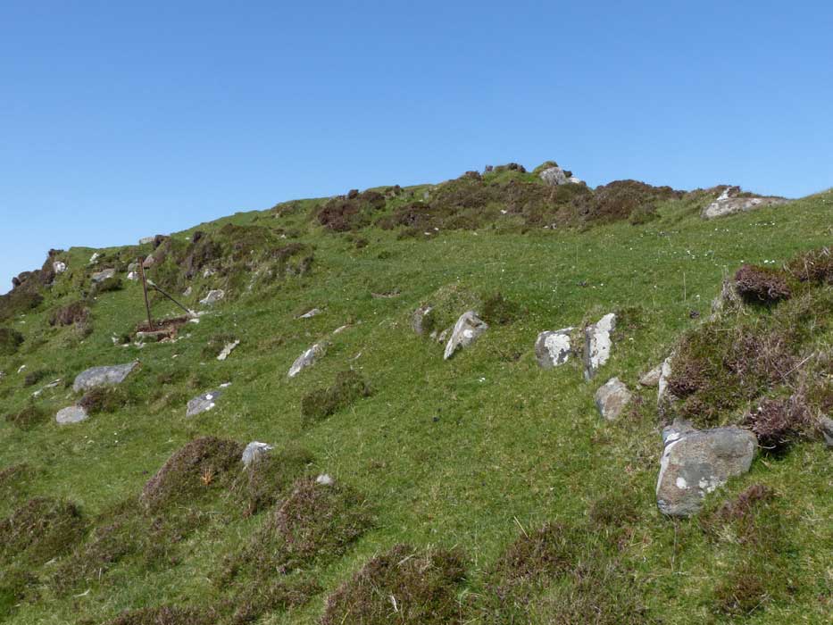
The site is barely 50 metres northwest of the remains of a prominent stone-built structure—the remains of a wartime radar station—on the summit of Tom na h-Uraich hill: an imposing landmark, seen from the road. Parking is available just a few metres past this, and a good track leads to the top of the hill, a superb lookout point.

Very little of the original stone walling of the dun remains, most of it almost certainly having been robbed in centuries past to build field dykes.
LesHamilton Posted by LesHamilton
19th June 2016ce
Edited 20th June 2016ce