Carnmore records the existence of a possible Stone Circle close beside the River Sligachan, about 3.5 kilometres upstream from Sligachan Hotel. The location is about 120 metres beyond the point where the footpath up Glen Sligachan is at its closest to the River Sligachan, and just a handful of metres to the east of the path (see map below). Almost no tangible information is given, save the Grid Reference NG 4958 2662, it being noted only that the site was: "recorded during a detailed archaeological survey of the NW portion of the Strathaird Estate, commissioned by the John Muir Trust, during spring of 1998".
I had previously tried to locate this site, but flooding of the Allt na Measaroch halted my progress. Happily, on this occasion, the river was low and easily crossed by stepping stones. What I believe to be the site of the circle was quickly gained, and the GPS data from my camera agreed very closely with the Grid Reference above.
In the Google Map below, two streams can be seen entering the River Sligachan at upper left (where the path makes its closest approach to the river). The pink marker shows the location of the circle. The distance between the points where the two streams cross the path is 45 metres.
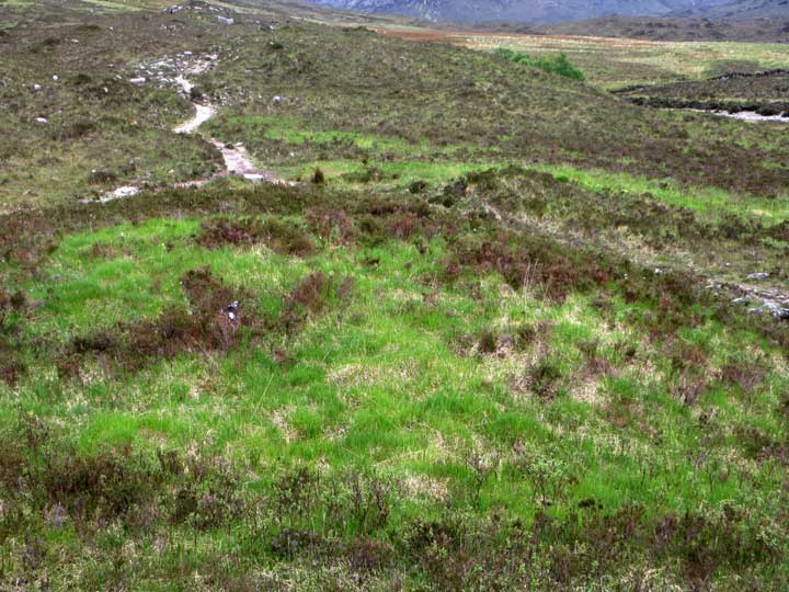
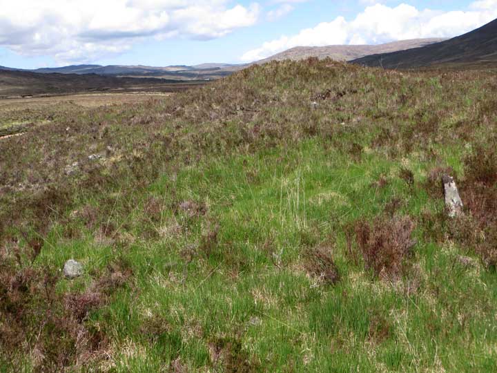
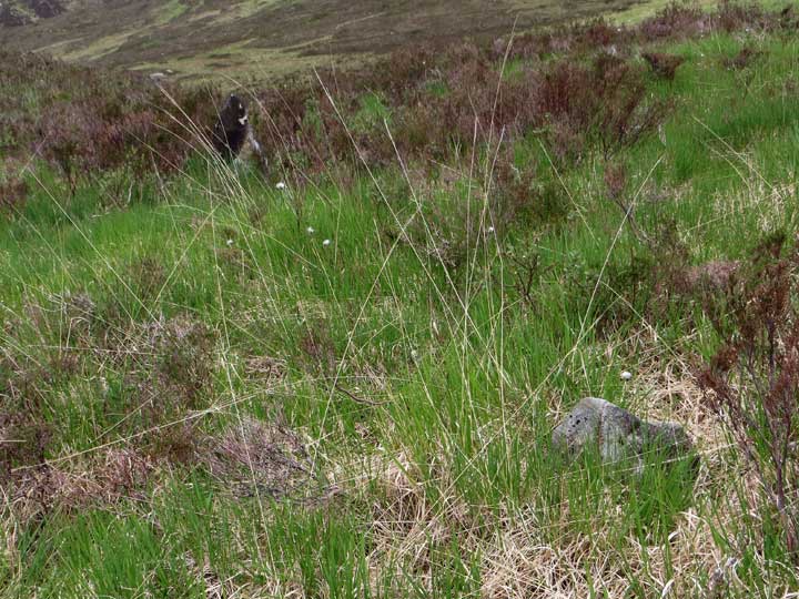
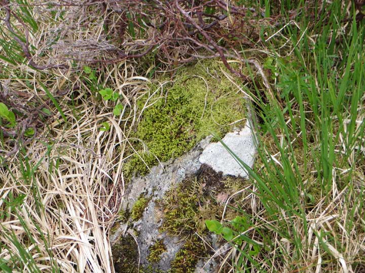
What I found was a heathery mound to the east of the path, probably just under two metres in elevation. One stone only was visible from the path, but on ascent, the grassy summit of the mound was found to hold three small but decidedly earthfast stones—two to the north and the third to the south—that could conceivably lie on the circumference of a small circle, perhaps 8 to 10 metres across.
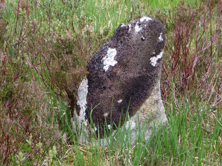
The largest stone, on the northeast, stands upright, a little more than half a metre in height: it's encrusted with dark lichen and tapers to a graceful, rounded point. Less was visible of the other two stones, which were partly hidden by vegetation. It is interesting, however, that the mound bears a grassy summit, which perhaps hints at a non-natural origin.

 Posted by LesHamilton