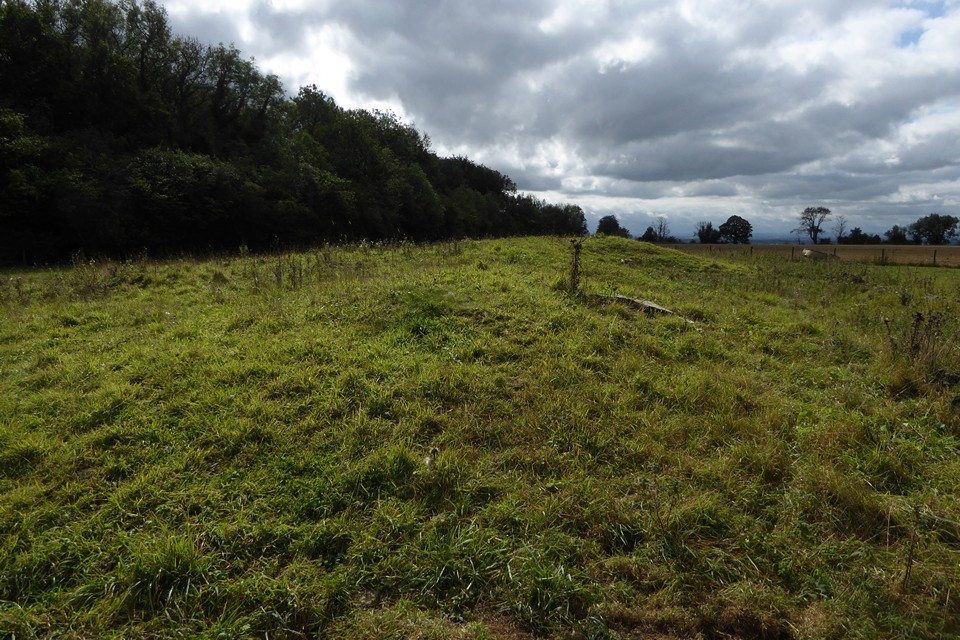
Taking the minor road east out of Wotton-Under-Edge you soon come to this Long Barrow (near the point where the road forks) There is room to park on the verge at this point.
I walked along the rough track to the north of the Long Barrow and from here it was a case of carefully hopping over the electric fence and a short but muddy walk.
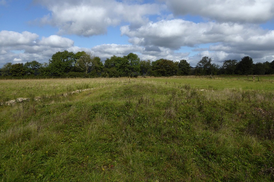
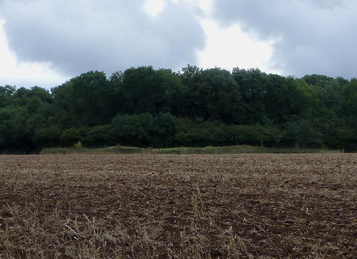
The Long Barrow is about 25 metres across and 2 metres high – covered with brambles which prevented further investigation. A fairly ruined dry stone wall surrounds the Long Barrow.
Not much else to add other than that there are pretty good views.
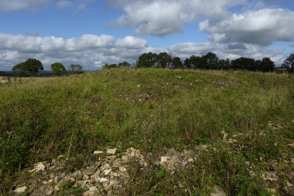
A probable long barrow known locally as "The Clump", it is 130ft long by 60ft wide by 5ft high, orientated from NE to SW. It has been roughly dug over, and is now planted with trees and enclosed by a modern wall. There is a local tradition of soldiers being buried here, but the site is thought by Overy to be the possible remains merely of quarrying for "tilestone". (Witts shows his round barrow No 94 here on his map, but this may be due to his wrongly locating ST 79 SE 14).
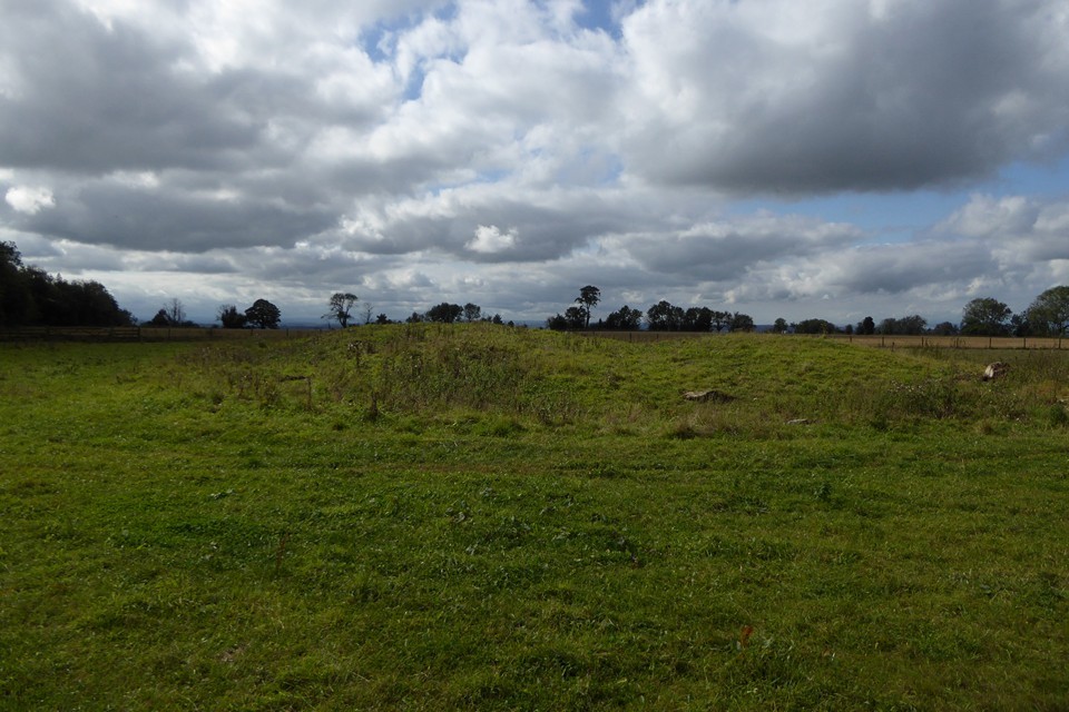
This feature has been considerably mutilated by stone digging with the result that there are now only amorphous remains which measure up to 1.7m high. It seems probable that it was a long barrow.


 Posted by thesweetcheat