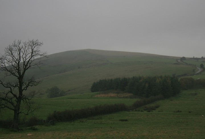
Seeing as this barrow was just up the road from Castle hill where i'd just been, and my eye had been constantly drawn upwards I drove up the road to see how close the road gets to it, close enough, close enough for me to be unable to resist a slow jog up the hill, a quick amble, or a moderate wander, just to see what was what like.
I didn't ignore the near by boundary marker type stone, it had a metal plaque on it " Manor of Cothercott something 1791 " but I should have.
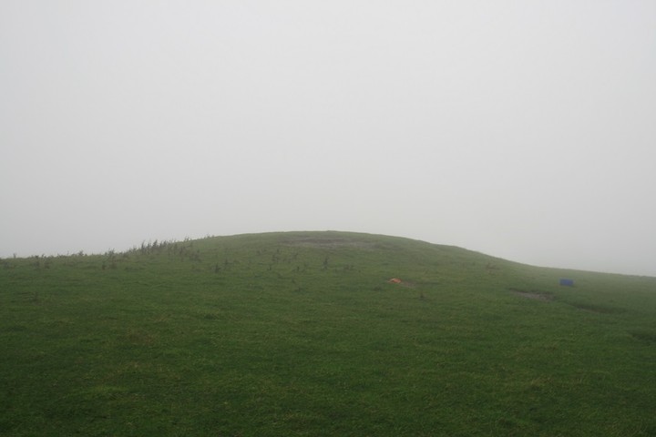
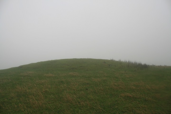
Pastscape are over stating the barrows height
It's not two meters high, one, maybe one point five.
Something has been excavating on it's eastern side, exposing either bedrock or a big stone, it's red sandstone.
The views were non existent, the low clouds that had troubled this barrowed summit but not covered it, had now covered it, I was getting wet, a quick amble requires no coat, but perhaps a moderate wander should do.
Short grass, bulky sheep, big barrow, rain.
A round barrow under pasture, 22.0m in diameter, 2.0m in height.
Bowl barrow on Cothercott Hill, 420m east of New Leasowes Farm. The surrounding ditch has become infilled but survives as a buried feature some 2m wide.

 Posted by postman
 Posted by thesweetcheat