|
|

|
|
Leckhampton HillHillfort
|
||||||||||||||||||||||||
|
|
|
Images (click to view fullsize) |
|
Photographs: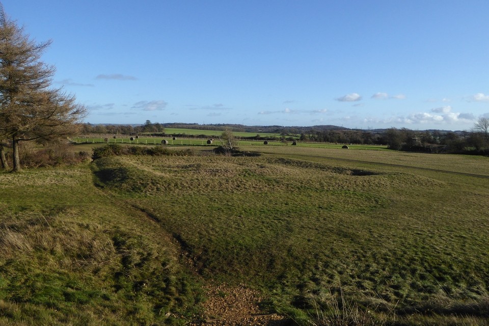


 Maps / Plans / Diagrams:
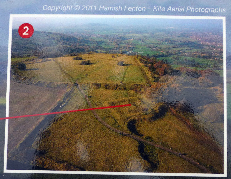 Artistic / Interpretive:
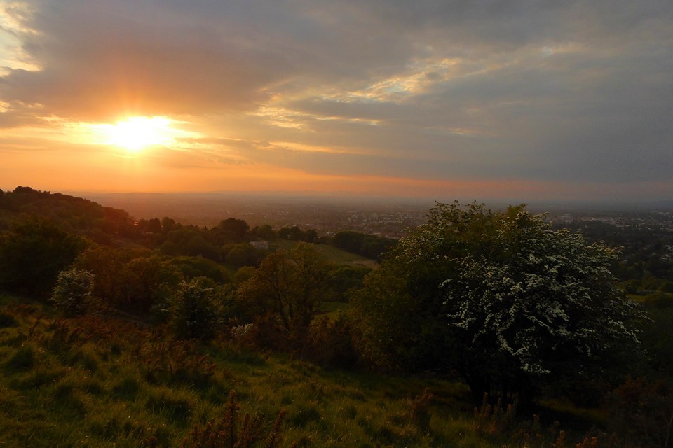
|
Fieldnotes |
|
|
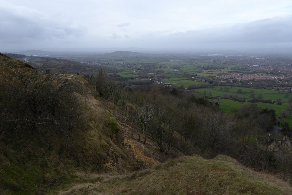
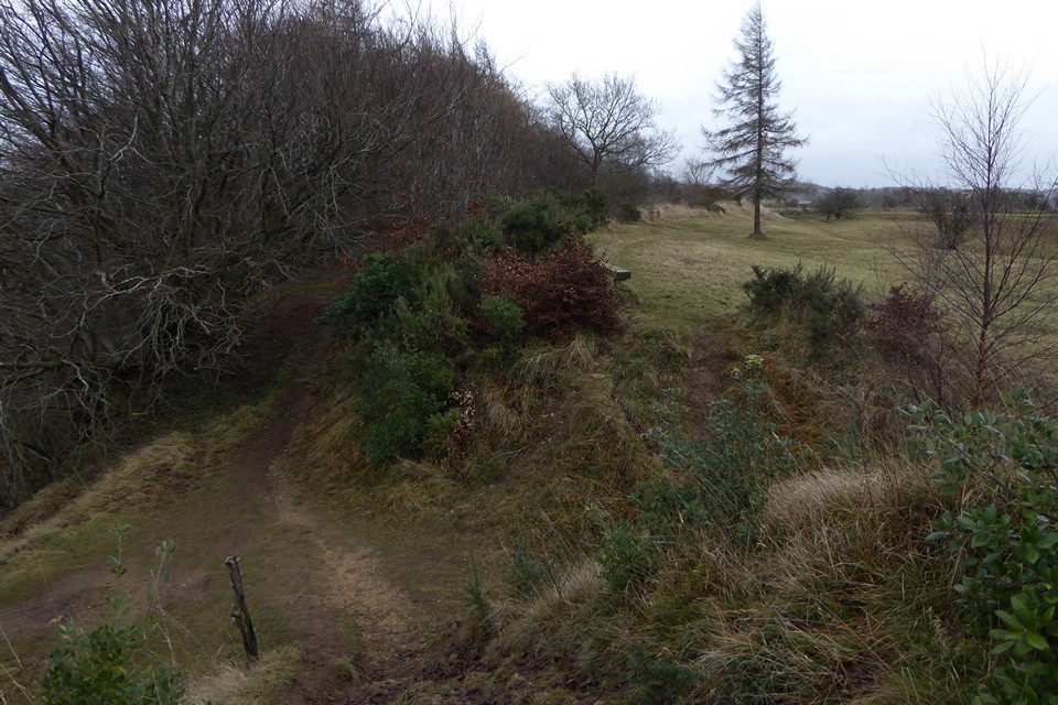
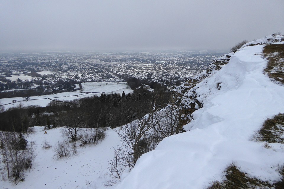
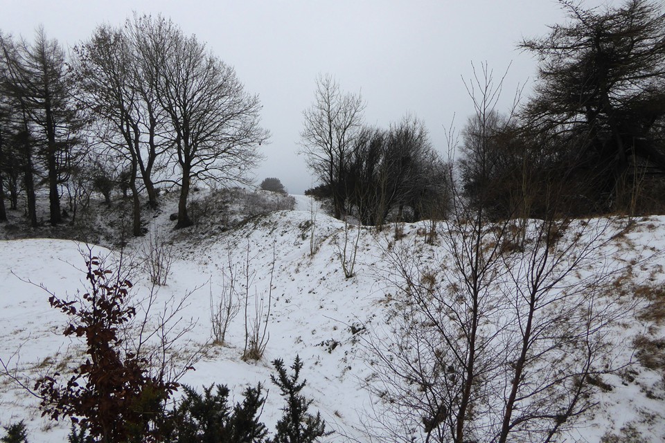
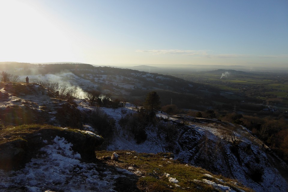
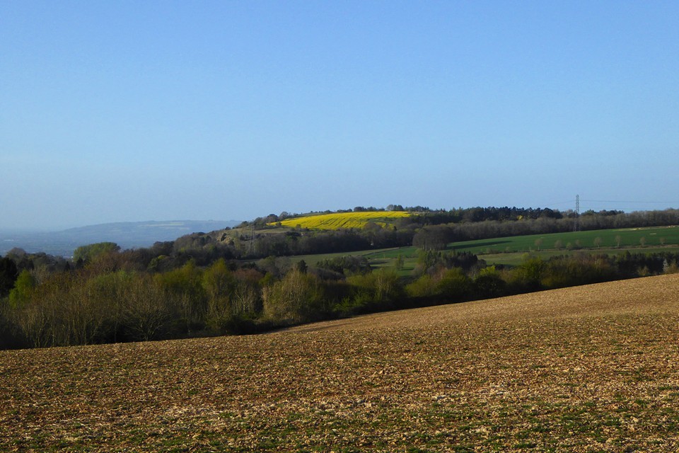
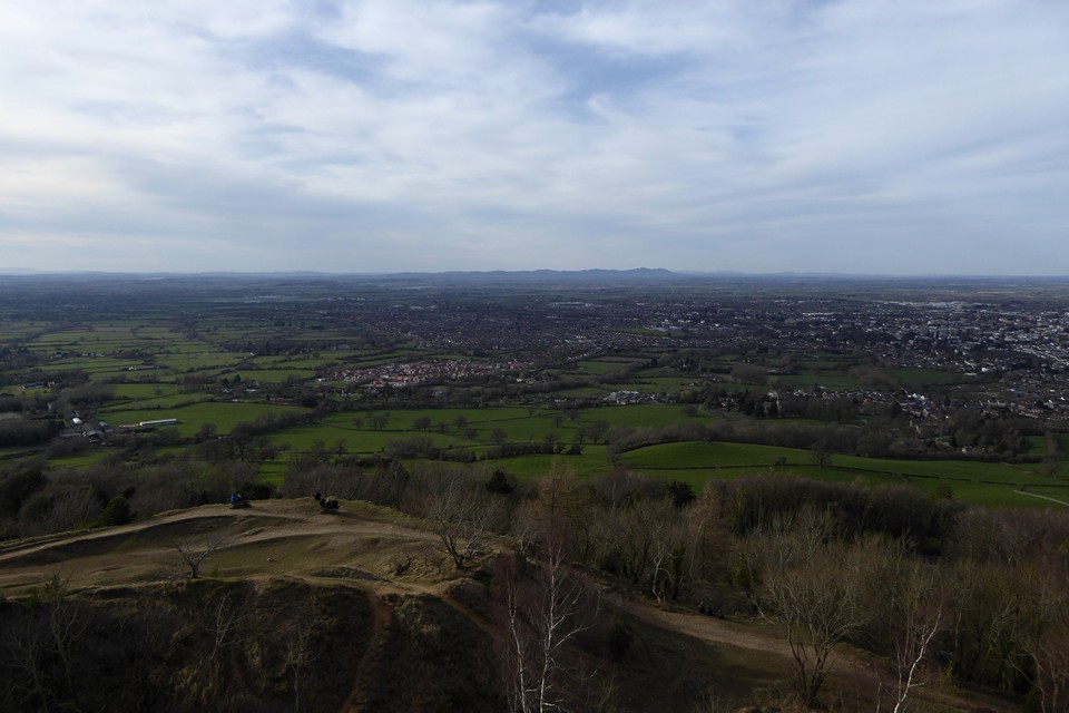
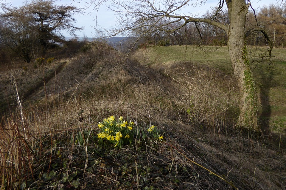
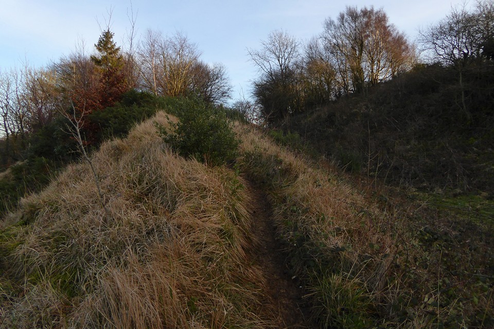
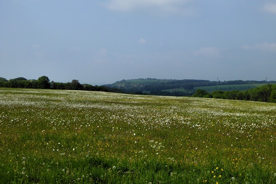
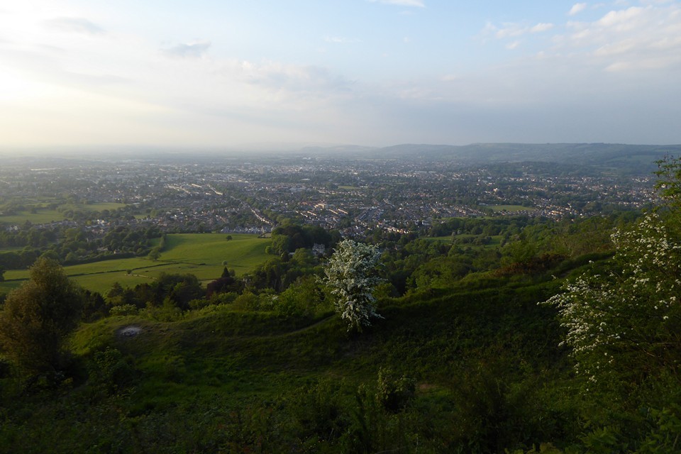
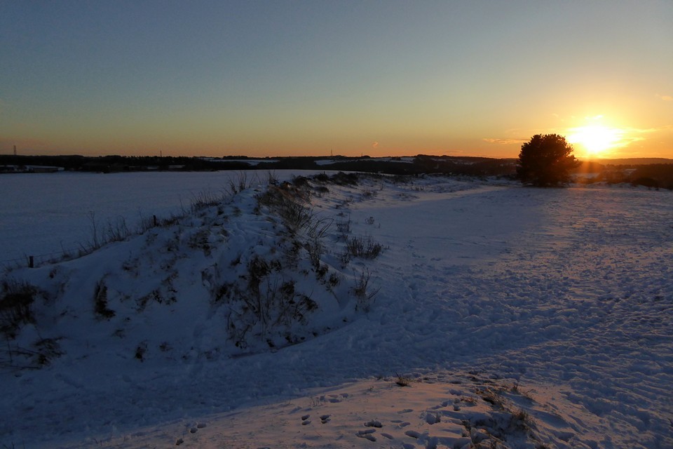
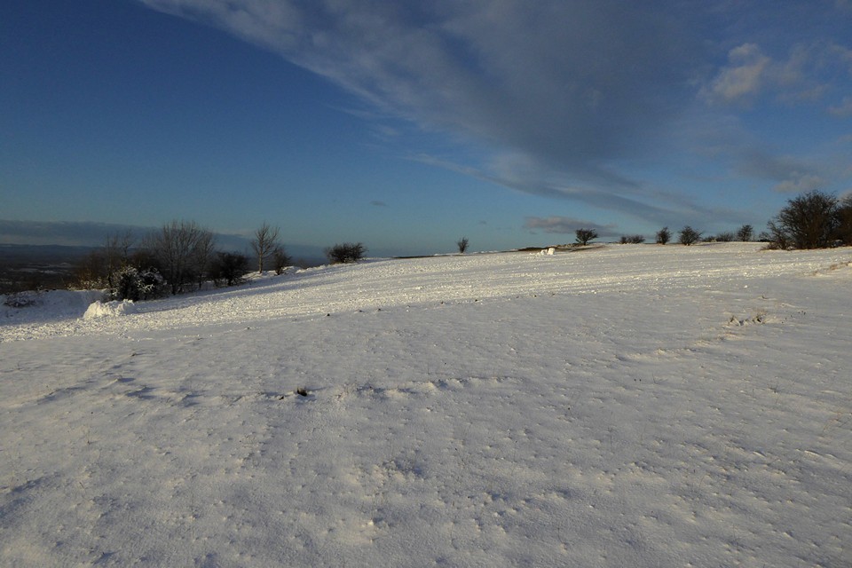
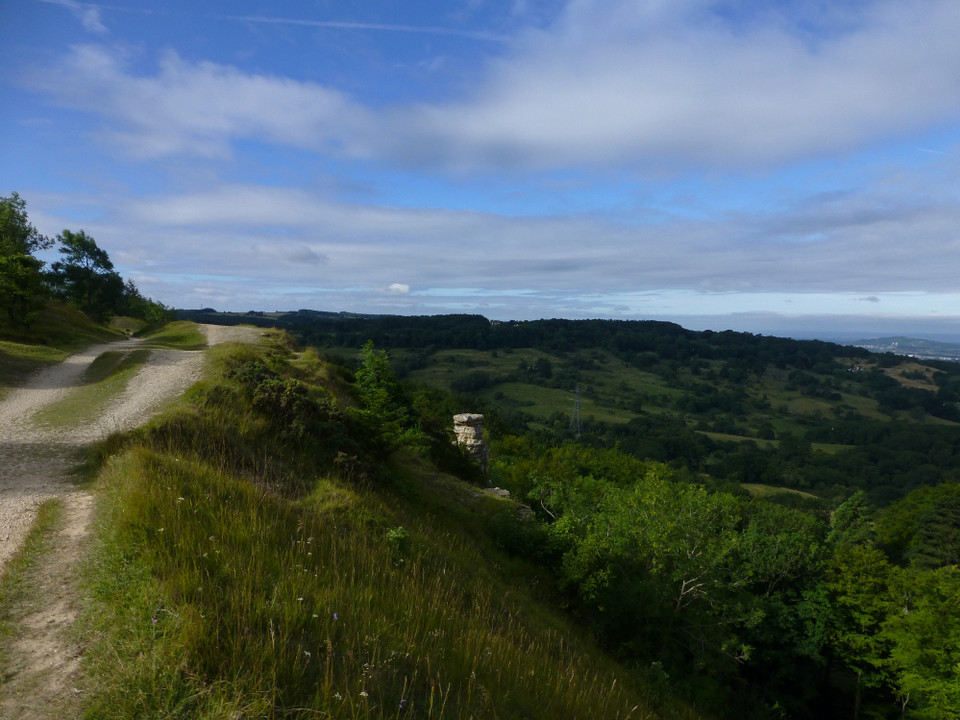
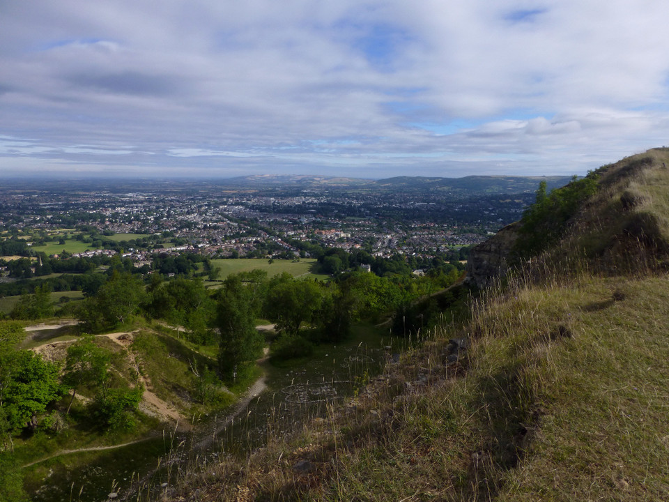
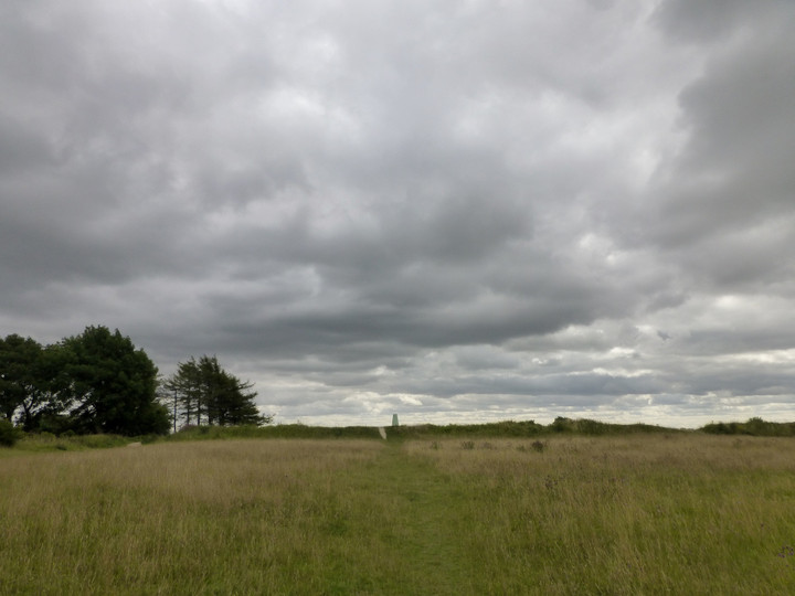
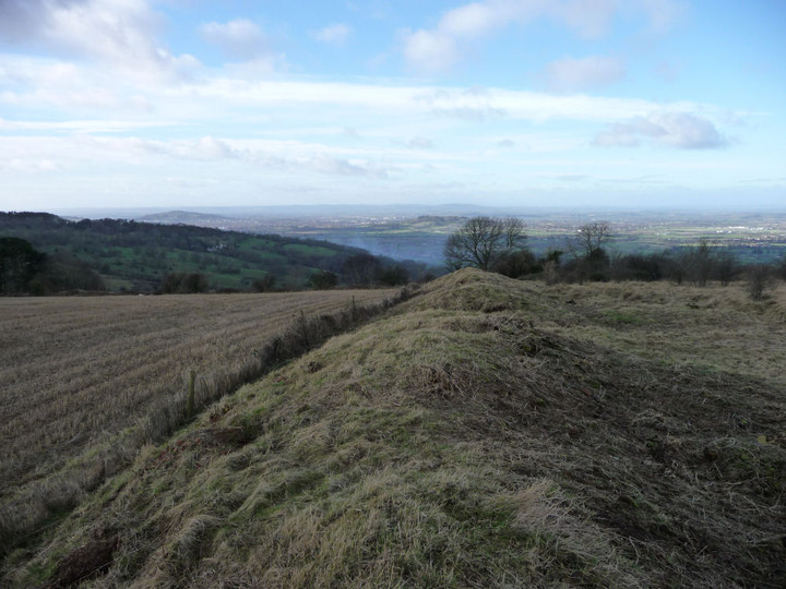
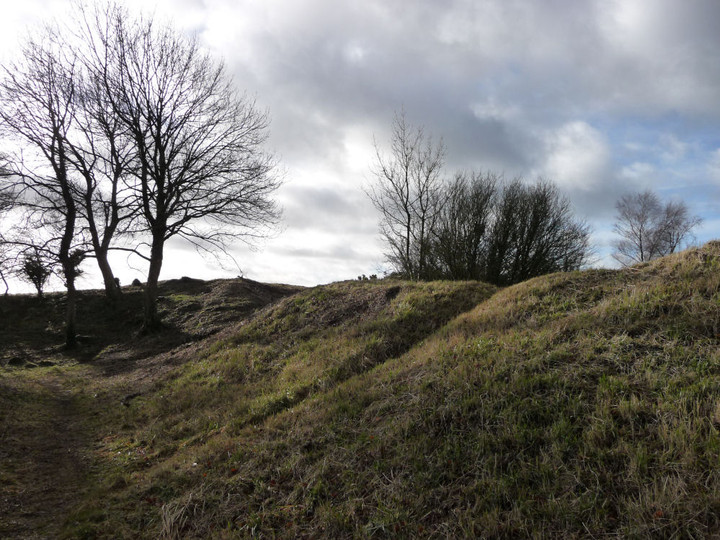
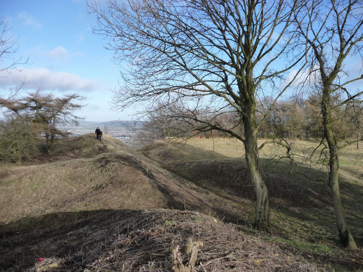
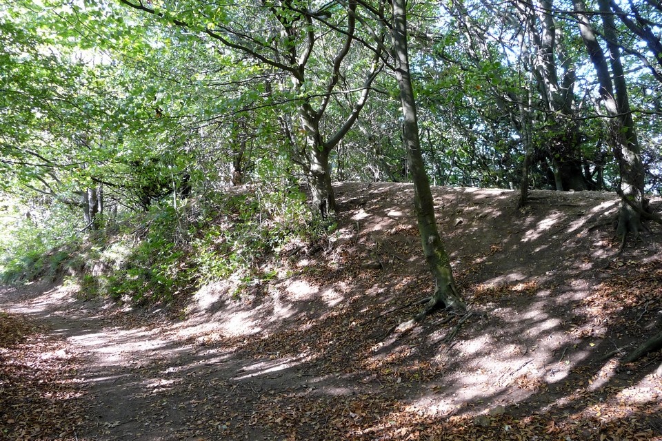
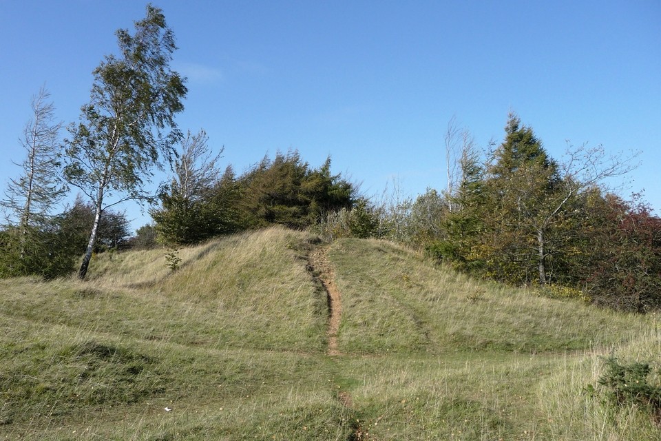
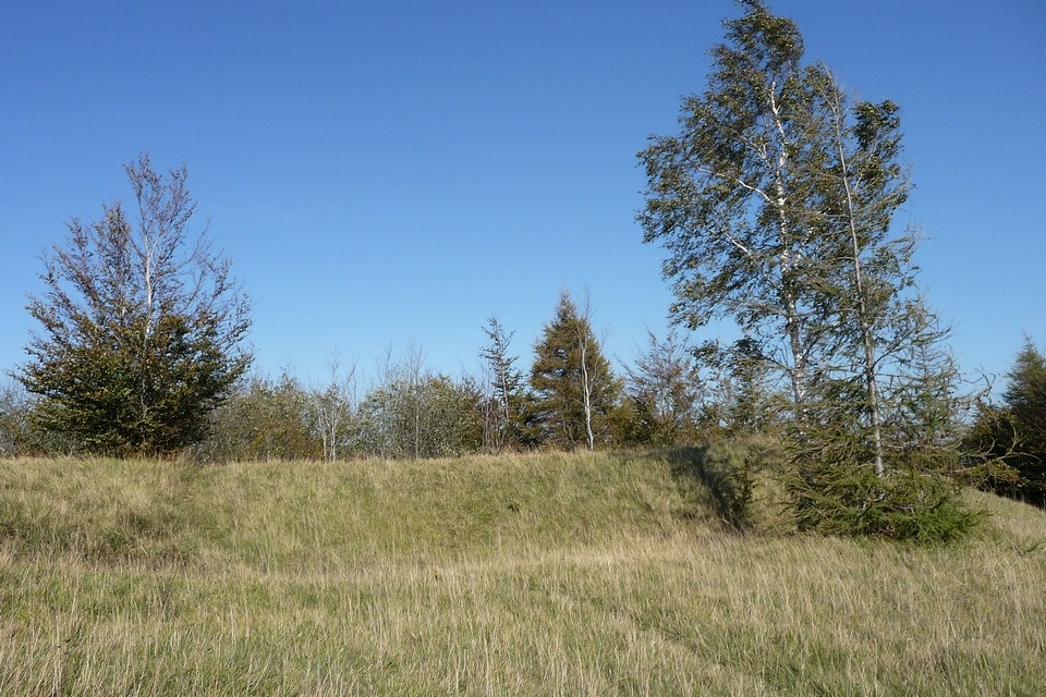
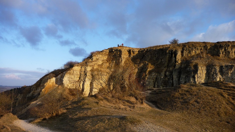
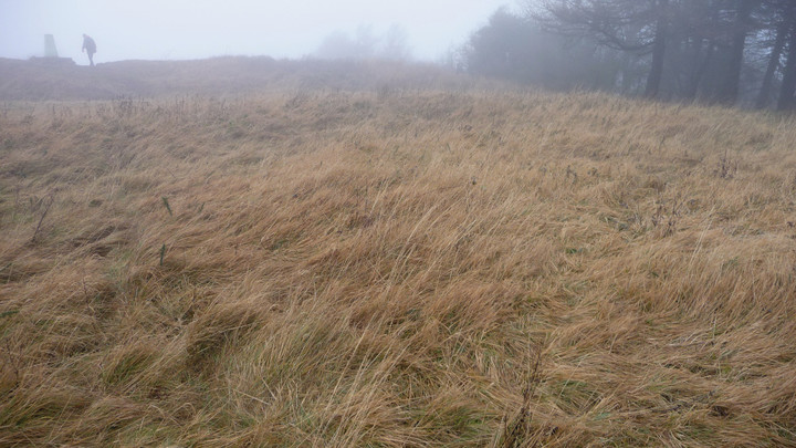
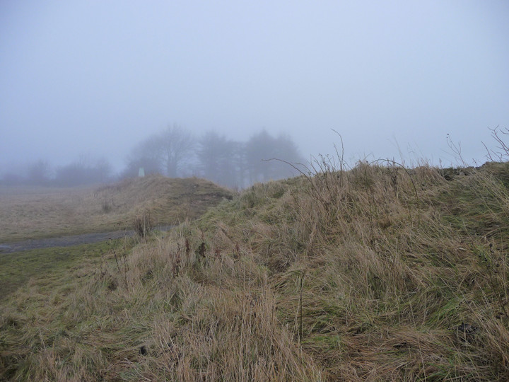
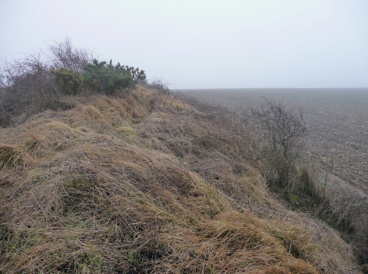
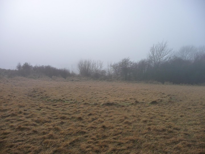
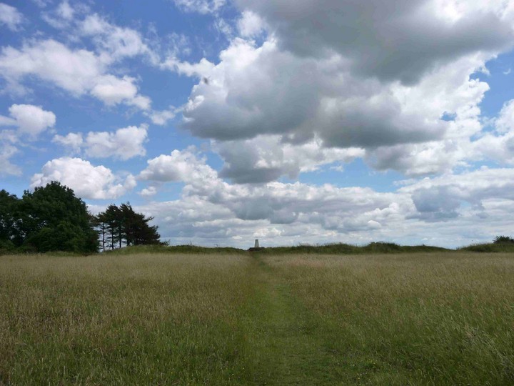
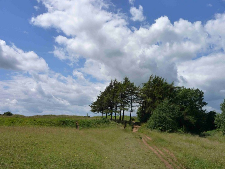
Coming from the east (unusually for me), old quarrying scars blight the first approaches to Leckhampton Hill, but the views over the escarpment are particularly fine, despite the haze today. After a couple of bridle gates, the path eventually comes to some rather enigmatic earthworks stretching away from the fort, their overall layout and purpose not really clear. Following the path onwards, it soon reaches the northern section of the ramparts proper. This is the best-preserved part of the defences, and a walk to the northern tip offers a terrific aerial viewpoint off the near-vertical quarried cliffs and across Cheltenham. I can indeed see my house from here (well, my street anyway). Although I’ve been up here many times now, there is always something new to see. In this case, it’s the northern rampart, below the lip of the escarpment, much more clear of vegetation than I have seen before. I sit up here for a while, perched high above home and contemplate my choices. I had intended a short walk after the North Wales efforts earlier in the week, but the day is still young and the sunshine is calling me onwards. Besides which, this is one of those parts of the route where ending here would require an otherwise unnecessary climb at the start of the next walk. I decide to press on, at least as far as Crippetts. Leaving the fort, I head down to one of the many quarries hacked into the hillside, this one serving as a carpark now. I hunt around unsuccessfully for fossils, but to my astonishment, tucked into a crevice in the limestone, I find a pile of chalk-covered flint nodules, some quite large. Nothing worked that I can see, but I have always thought that flint was alien to this part of the Cotswolds, any flint tools being imports from the eastern downs (or further afield). Not so, it seems. Well, you live and learn. This post appears as part of the weblog entry The Cotswold Way IV – Dowdeswell – Cooper’s Hill 20 April 2013
|
 Posted by thesweetcheat
6th May 2013ce |
|
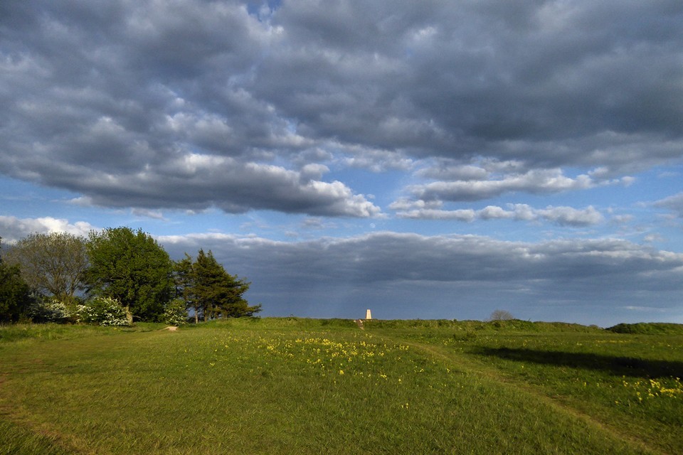
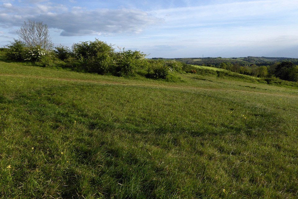
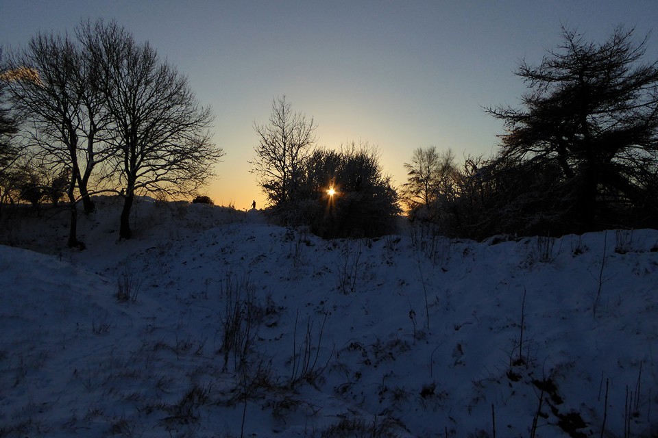
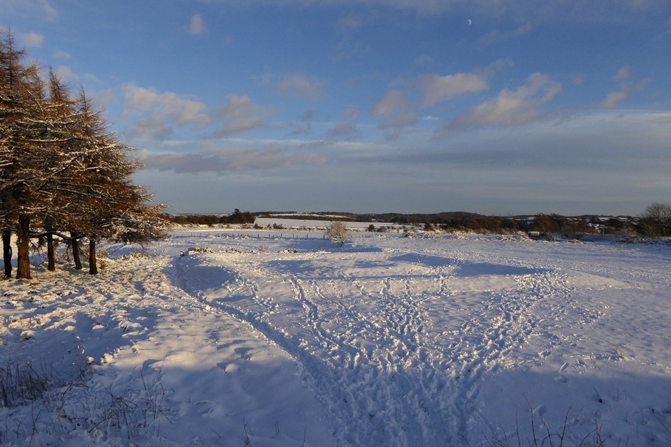
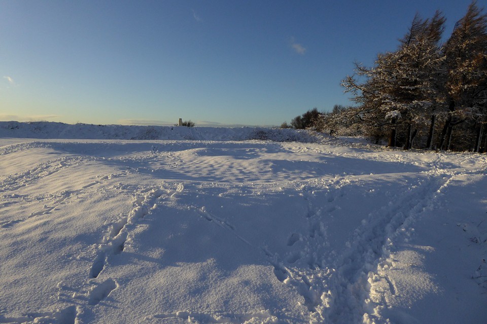
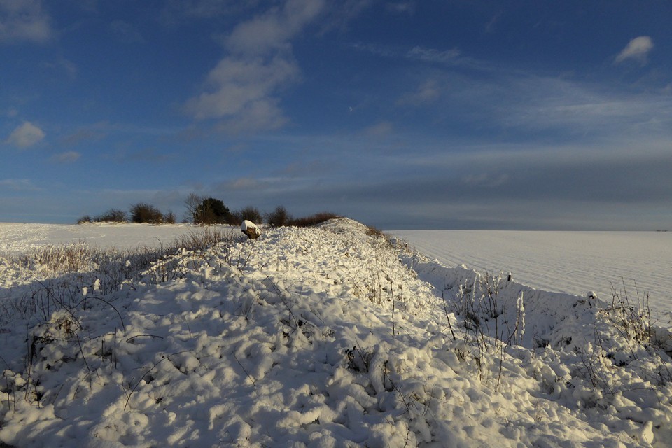
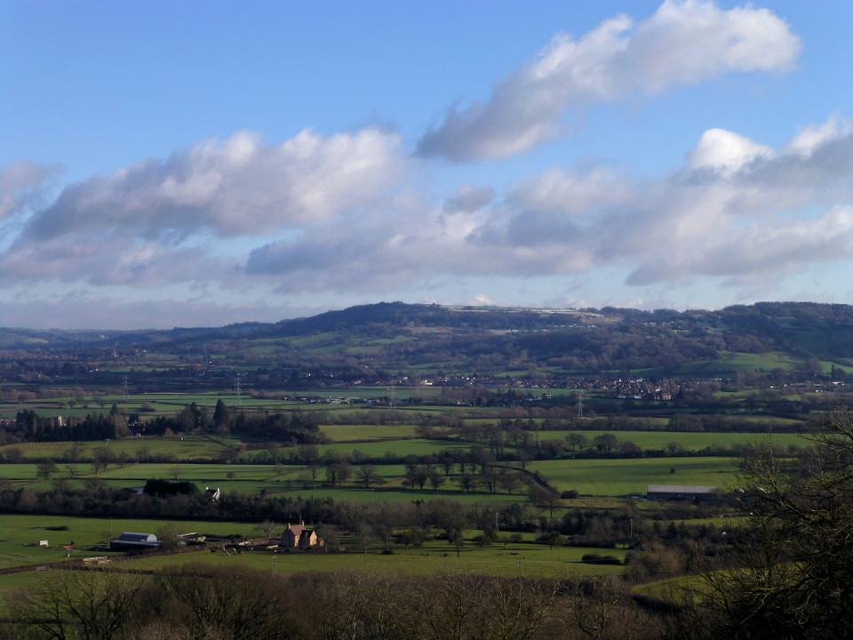
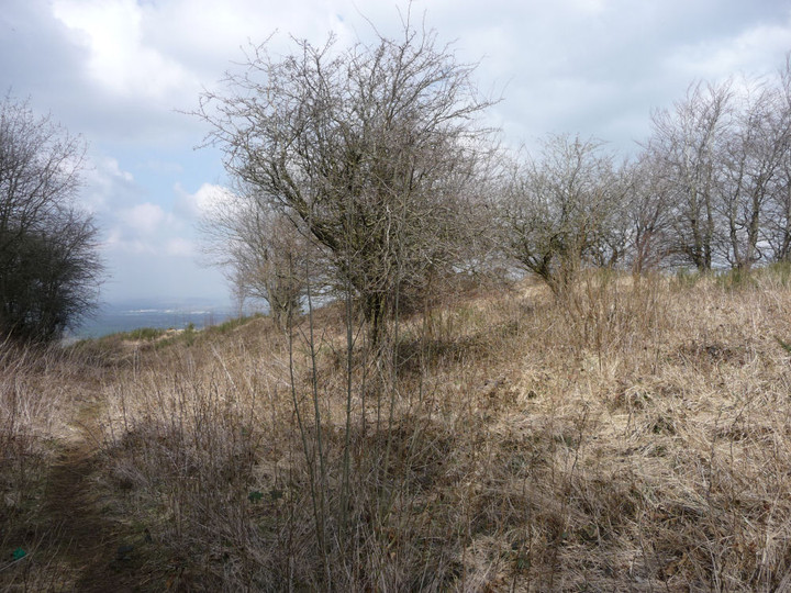
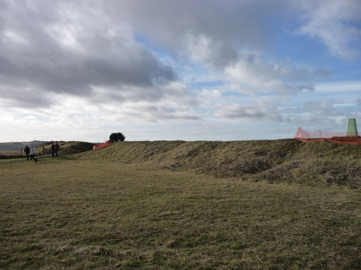
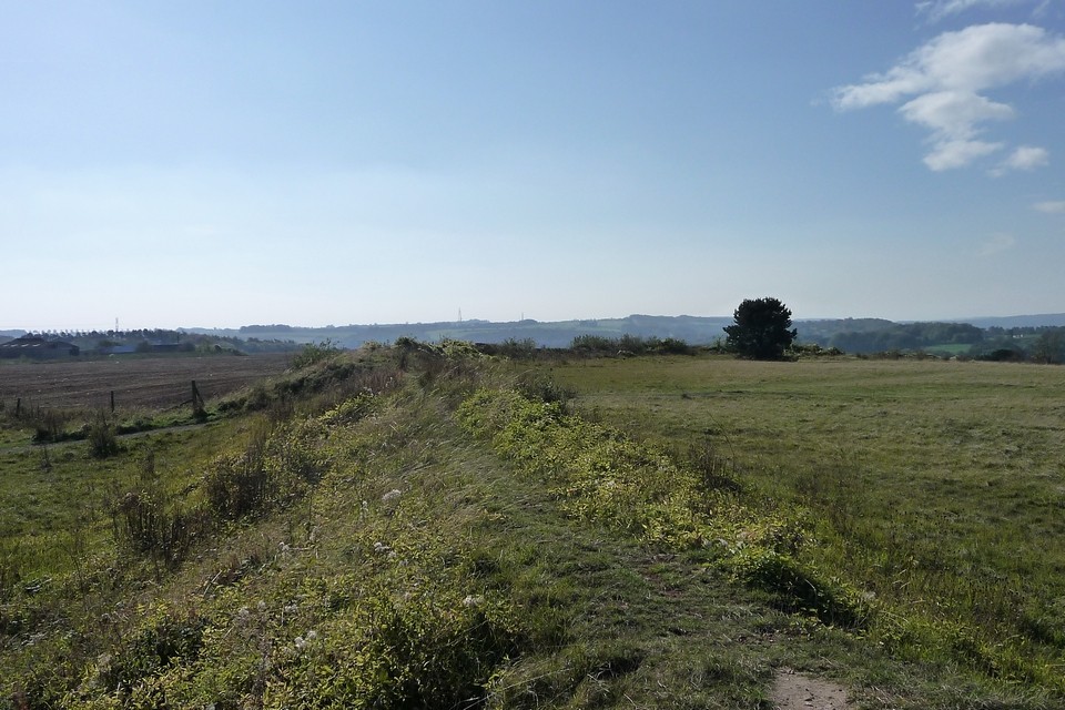
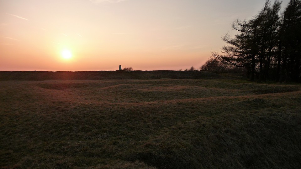
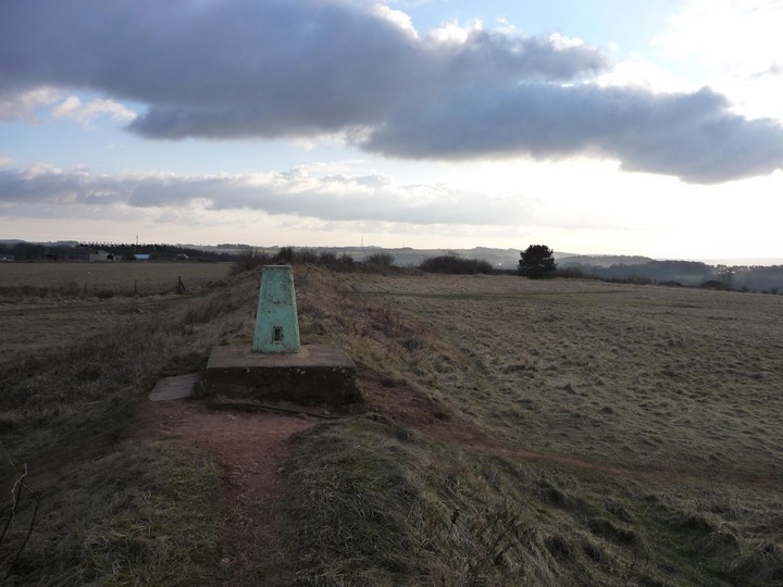
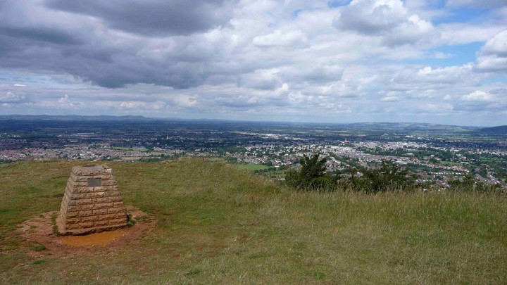
New Year's Day, 2013. After what seems like weeks of interminable, miserable wet weather, finally a sunny break happens to coincide with the start of a new year. Hopefully that's a good omen. Anyway, transport options are limited, so a stroll up to my local fort seems to be the way to go. The approach from the north is as stiff as ever, the regrets about too many mince pies and not enough exercise come sharply to the fore. It seems that lots of locals have also chosen to make this their place of post-indulgence pilgrimage, because the interior of the fort is pretty busy. Amazing what a bit of sunshine can do. In the 18 months or so since I was last up here, the northern ramparts and the ever-enigmatic barrow have been kept nicely clear of vegetation. The views across Cheltenham, over towards the Malverns and the northern reaches of the Cotswolds are as far-reaching as ever. It's soooo nice to be back outside. As well as maintaining the tidiness at the north of the fort, some enterprising people have cleared the brambles and scrubby vegetation from the southeastern and southern section of the ramparts, leaving them much easier to see. There is no sign of an external ditch here, but ploughing of the adjacent field may have filled it in. Parts of the rampart, notably around the trig pillar, have been cordoned off by that orange plastic temporary fencing, presumably to try to combat erosion damage. Over on the western flank, where quarrying has destroyed whatever archaeology there may have been, the views are the most extensive, but the wind is bitingly keen. Enough to encourage a hasty retreat along the Cotswold way, then off to the Crippets. |
Posted by thesweetcheat 20th January 2013ce |
|
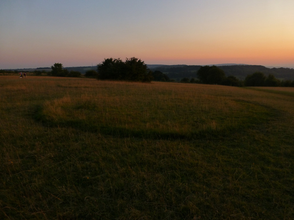
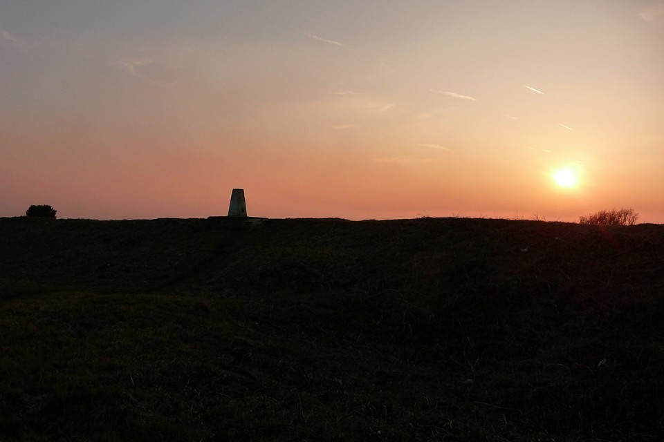
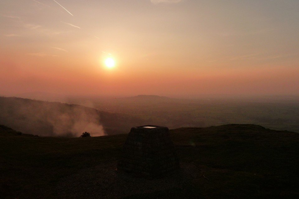
A stroll up on a lovely Spring evening (25.3.2011). It's nearly a year since I last visited my local site and on reaching the fort I'm pleasantly surprised to find that the enigmatic barrow/square enclosure has been completely cleared of weeds and vegetation, making its form much easier to see than previously. The northernmost stretch of rampart is also clearer than I have seen before. A beautiful sunset over the ramparts finishes the visit perfectly. |
Posted by thesweetcheat 4th April 2011ce |
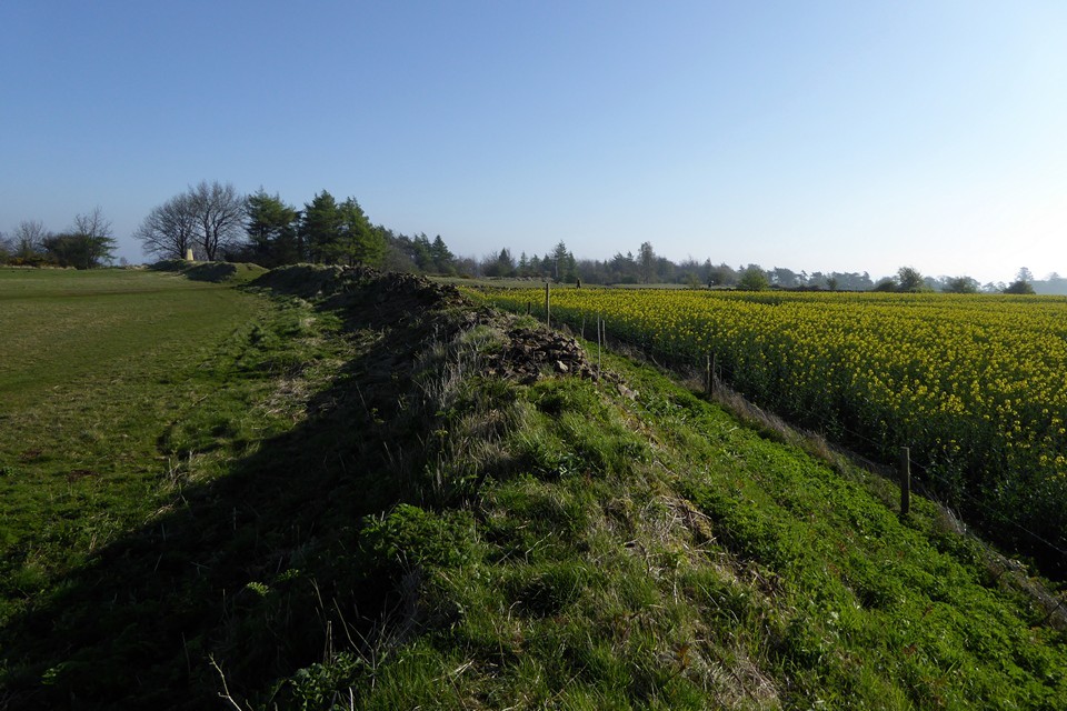
|
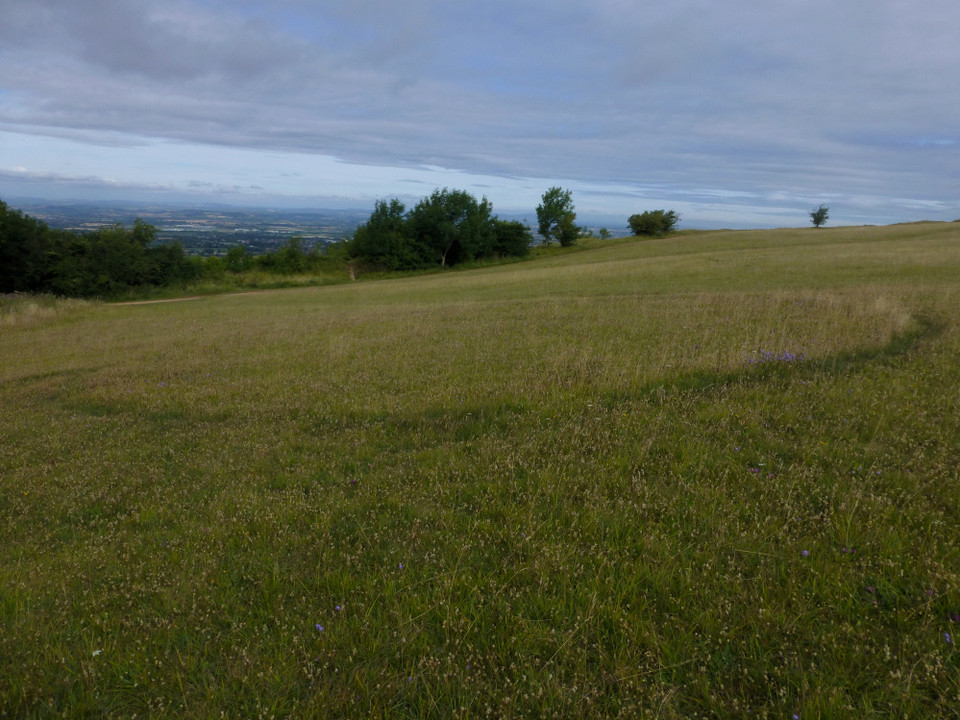
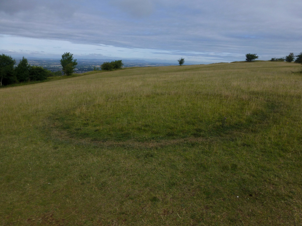
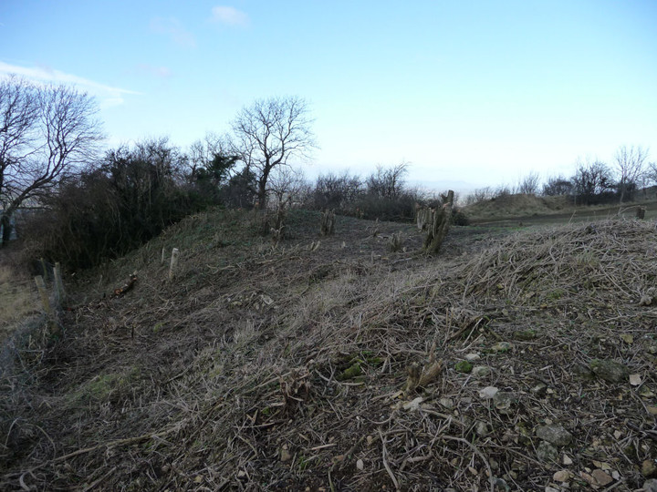
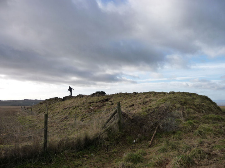
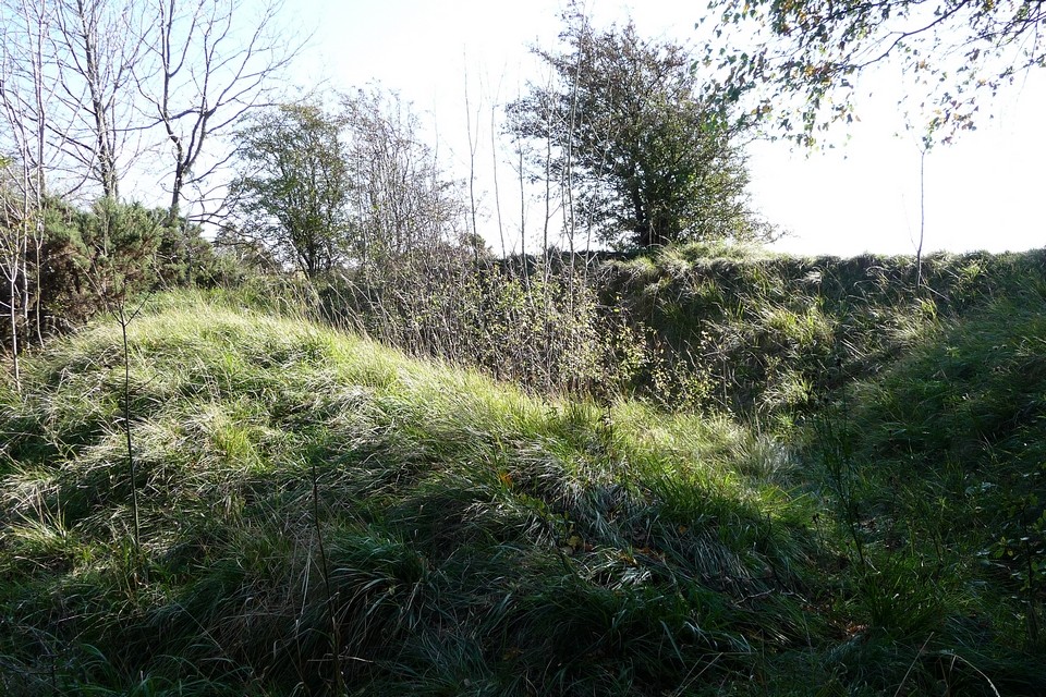
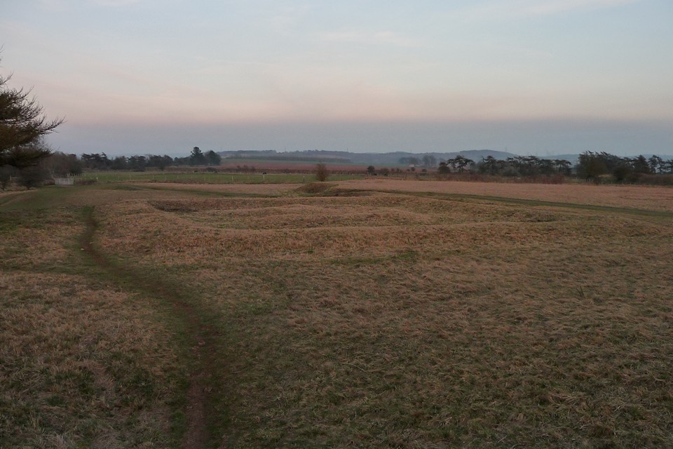
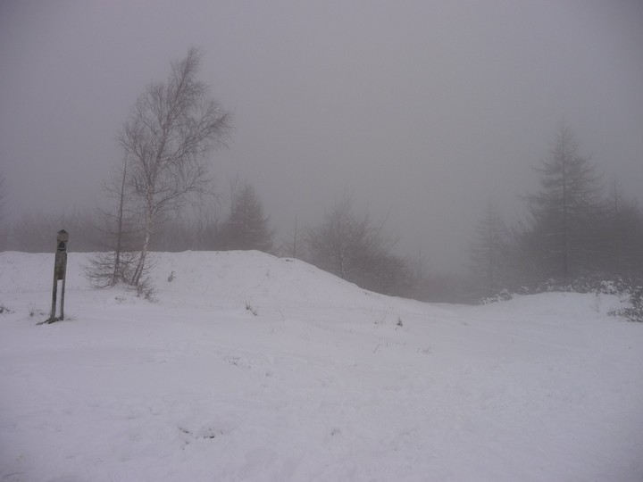
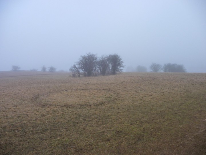
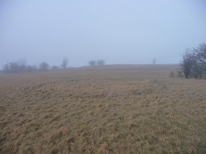
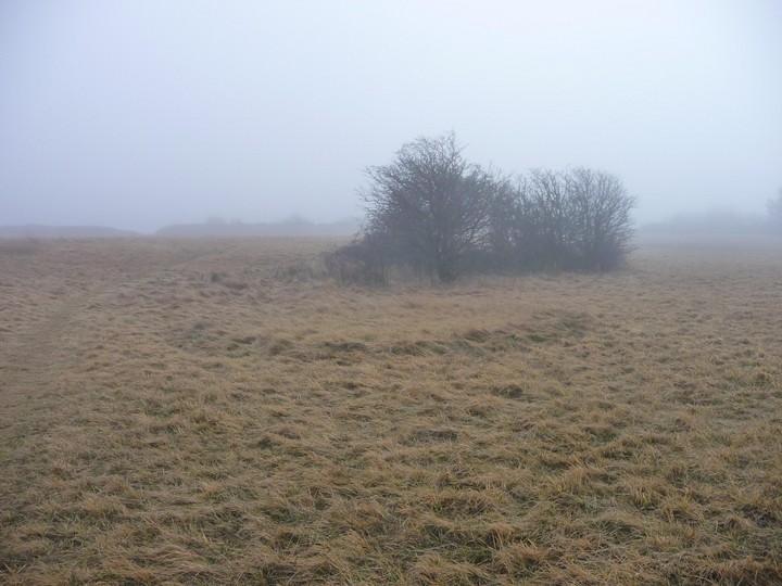
Visited 27.1.09 - blue skies when I left the house (a mile to the north of the hill) but when I got up the hill it was enveloped in freezing mist, with no visibility over Cheltenham at all. First time I have been here in January and I wanted to have a look at the earthworks and the "round barrow" outside the eastern entrance. In the interior of the fort I came across a series of circular crop marks in the tufty grass: the largest 10 paces in diameter, the smallest 4 paces. The excavations at the site have focussed on the ramparts and nothing has been excavated within the main enclosed area. These marks are certainly of a size that would be consistent with hut circles (like the ones found at nearby Crickley Hill) but without excavation (or at least a more expert eye than mine) there's no knowing what they are. The rampart curves round from the SW corner of the fort to the NE corner in a shape like a "D" with the top flattened. Along the SE side the rampart is topped with dry stone construction - according to Geoffrey Williams in "The Iron Age Hillforts of England" (1993 Horace Books) the rampart was revetted with dry stone wall, so this may be part of the original construction. As the rampart turns to the north, it becomes more of an earthen bank, leading up to the eastern entrance (which is simply a gap). The mysterious "round barrow/celtic shrine/tree enclosure" is clearly visible on the E side of the rampart, although very difficult to photograph! The square bank is clear, and each side measures approx 20-21 paces. The round barrow (if that's what it is) in the centre is again quite clear, but very low and unimpressive. After this the mist closed in and it started to get wetter, so I headed off back down the steep scarp slope to the north, pausing first to have a look at the earthworks to the NE of the fort that run next to the Cotswold Way footpath. It's not clear what these are or how old they are - in "Prehistoric and Roman Sites of the Cheltenham Area" (1981 Gloucester County Library) W.L. Cox merely mentions that they are of "uncertain use". Helpful! |
Posted by thesweetcheat 27th January 2009ce Edited 10th December 2012ce |
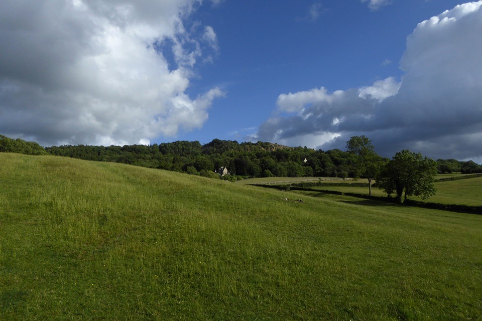
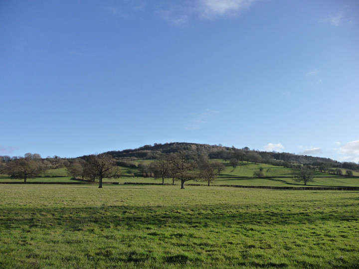
| My local site, approached either directly from the north straight up the steep scarp slope from footpaths off Daisybank Lane, or from the south from the carpark off the road to Hartley Farm. Terrific views over Cheltenham, across to Gloucester, the Malverns, etc. A great spot for a picnic, but watch out for extreme cyclists! The ramparts themselves are not the most impressive, but more than made up for by the setting and views. Outside the south-eastern entrance there is the remains of a round "barrow" inside a square embanked enclosure (see Miscellaneous). |
Posted by thesweetcheat 4th January 2009ce |
Miscellaneous |
|
|
The fort encloses c. 7 acres with a single bank rampart on the south and east sides (the north and west sides are defended by the extremely steep scarp slope). The entrance was defended by two stone guard chambers (see excavation reports in the Links section for detail). Just outside the entrance is square embanked enclosure containing a "barrow". Accounts of what this may be vary: James Dyer - "Discovering Prehistoric Archaeology" (Shire 2001) states that it may be the site of a celtic shrine. L.V. Grinsell - "Gloucestershire Barrows" (Transactions of the Bristol and Gloucestershire Arch. Soc. 1960) states: "probably a small round barrow in a roughly square enclosure ... square enclosure may be an 18th century tree-clump enclosure". Tim Darvill - "Prehistoric Gloucestershire" (Alan Sutton Publishing 1987) mentions the similarities between the barrow and Iron Age burial structures in Yorkshire and Humberside. Cheltenham Council - Leckhampton Hill Management Plan states: "This site is part of Scheduled Ancient Monument number 46 and survives as an extremely rare round barrow, a burial mound, within a square enclosure, believed to date from the Iron Age 800BC - 43AD" |
Posted by thesweetcheat 4th January 2009ce Edited 4th January 2009ce |
Links |
|
Transactions of the Bristol and Gloucestershire Archaeological SocietyExcavation report from the excavations in the summer of 1925 |
Posted by thesweetcheat 4th January 2009ce |
Transactions of the Bristol and Gloucestershire Archaeological SocietyExcavation report from the late 1960s excavations at Leckhampton Hill. |
Posted by thesweetcheat 4th January 2009ce |