
Tinnis Hill viewed from Windy Edge Long Cairn.
Image credit: Mark Johnstone

Tinnis Hill viewed from Windy Edge Long Cairn.


Low remains of S Arc of Outer Enclosure surrounding Tinnis Hill Summit Cairn.

Tinnis Hill Summit Cairn topped with a Stone Shelter & Trig Point viewed from S.

Tinnis Hill Summit Cairn topped with a Stone Shelter & Trig Point viewed from S.

Exposed Rubble of Stones on Tinnis Hill Summit Cairn.

Tinnis Hill Summit Cairn topped with a Stone Shelter & Trig Point viewed from E.
Visited 26.05.12
Tinnis Hill Summit Cairn is located c. 4.25 miles ENE of Langholm. The round cairn lies 0.25 miles E of the Scottish Borders/Dumfries and Galloway border. There is an oval grass mound on the summit of Tinnis Hill. There are low remains of a stone wall enclosure at the base of the mound. On the N & S Axis the wall is c. 40 yards from the summit and c. 25 yards from the summit on the E-W Axis. The cairn was constructed on the centre of the mound. It has been greatly reduced over the centuries to a low grassy mound measuring c. 20 yards in diameter and 2 feet high, according to Canmore ID 67879. A trig point has been erected on the E edge of the cairn. A horseshoe-shaped stone shelter up to c. 4 feet high surrounds the trig point on the N,S & W Arcs.
When visiting this isolated site it is worthwile extending your route 1 mile S to visit Windy Edge Long Cairn and Windy Edge Stone Circle sites in Dumfries and Galloway.


Field Clearance Stones on N Arc of High Gillespie Cairn.

Possible Capstone on NE Arc of High Gillespie Cairn.

Recent Excavation on E Arc of High Gillespie Cairn.

Badger’s Sett on E Arc of High Gillespie Cairn.

Exposed Cist in S Quadrant of High Gillespie Cairn viewed from N.

Centre of High Gillespie Cairn viewed from W.
High Gillespie Cairn is a ruined grassy mound located in pasture land c. 4 miles SE of Glenluce in Dumfries and Galloway. The surface of the sub-circular cairn has been smothered by gorse bushes. Field clearance stones have been dumped on the N perimeter of the cairn. The current mound measures c. 110 feet in diameter and 5 feet high on a summit plateau.
Canmore ID 62207 states that High Gillespie Cairn had a facade on the E Arc with 5 visible stones. There are no signs of a facade and visible stones in the E arc today. In fact there is evidence of recent excavation on the E Arc. This may be related to a badgers sett dug into the E perimeter of the mound.
Canmore ID 62207 also states that the main axis of the cairn was ENE-WSW, with at least 6 chambers constructed therein. This is difficult to confirm given the ruinous state of the cairn. I located a possible square capstone, measuring c. 4 x 4 x 1 feet, on a collapsed cist on the NE Arc and an exposed cist, measuring c. 5 x 3 x 3 feet on the S Quadrant. The S cist consists of a buried N end slab, an E slab measuring c. 5 x 3 x 1 feet, a missing S slab and a W slab measuring c. 7 x 3 x 1 feet.


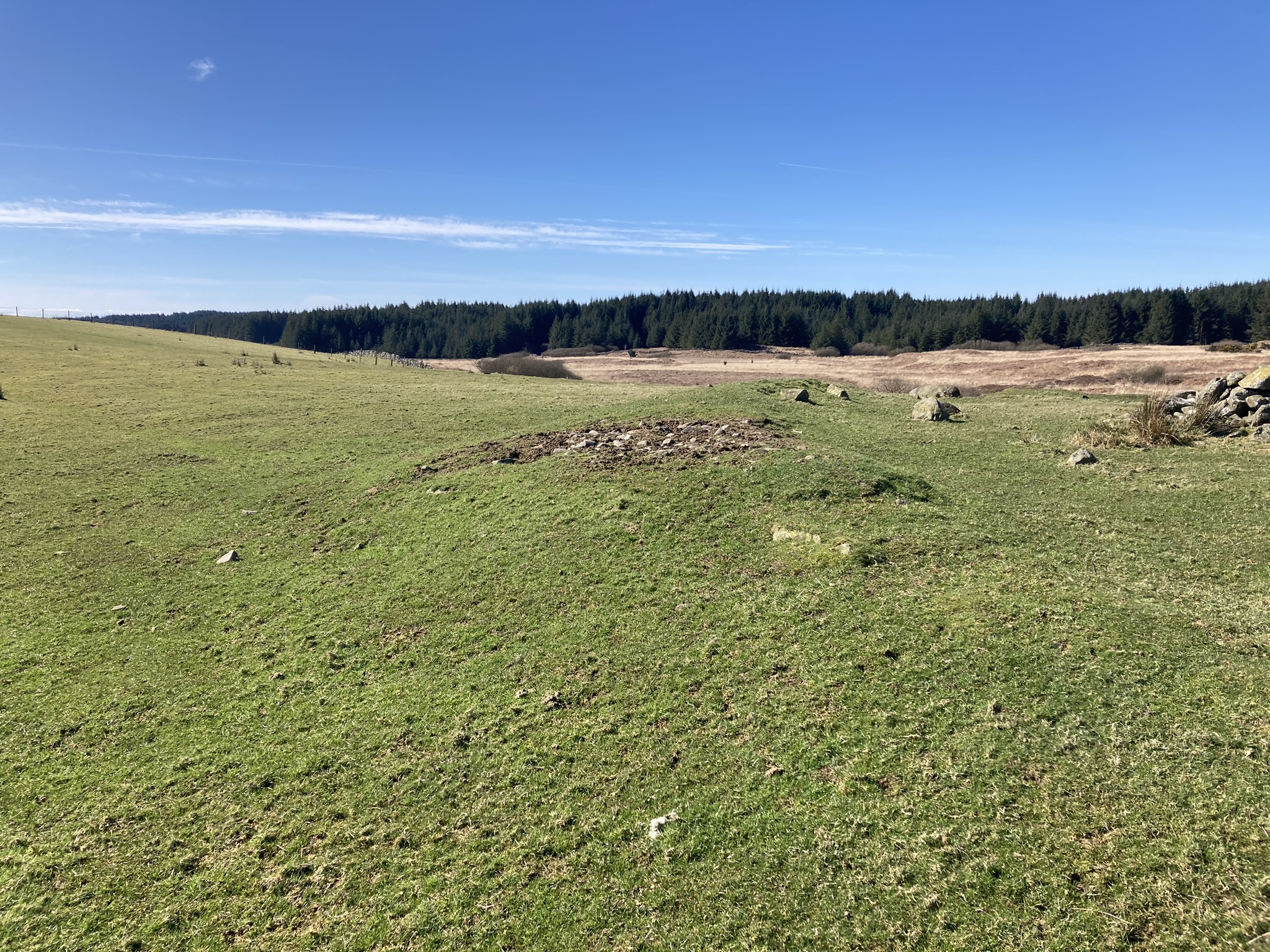


Grass Track bisects Castle Loch Cairn on a NE-SW Alignment


Displaced Kerb Stone in W Arc of Castle Loch Cairn.


Field Clearance Stones deposited in Centre of Castle Loch Cairn viewed from N.
Visited 27.03.23
Castle Loch Cairn is located c. 500 yards N of Castle Loch, c. 5 miles ESE of Glenluce in Dumfries and Galloway. It is accessed via a rough track running E from Culroy Farm, opposite White Cairn (Culroy) (listed on TMA).
Castle Loch Cairn is a flat grass circular footprint, c. 75 feet in diameter, with earth banks on the S and W Arcs. The S bank measures c. 9 feet wide and 1.5 feet high. The W bank measures c. 5 feet wide by 1 foot high. There is a gap in the perimeter on the SW, possibly due to a farm track which runs from NE-SW across the cairn. There several possible kerb stones on the W Arc: an embedded stone on the SW, a large displaced stone on the W and a recumbent stone on the NW. Field clearance stones have been deposited in the grassy centre of Castle Loch Cairn, creating a stony mound c. 15 feet in diameter and 3 feet high. The mound is offset c. 10 feet to the S.
Castle Loch Cairn is listed as Canmore ID 62234, titled as Drumwhirn. I named the cairn after the nearby Castle Loch because there is already a Drumwhirn Cairn listed on the TMA Dumfries and Galloway page.
Directions to Castle Loch Cairn: Take the A747 Port William road off the A75 at the E End of Glenluce. Turn left onto a single track road for Whitefield Loch after 1.8 miles. Stay on this narrow lane for c. 2 miles to reach Culroy Farm Track. Head E along a rough track. The track reaches a vehicular dead-end at a gate after c. 2 miles. Walk c. 450 yards E along a rocky road to reach a gate. Turn right here, heading NE for c. 400 yards into a narrow rectangular grass field to reach Castle Loch Cairn. There is an evident stony mound in the centre of the cairn.

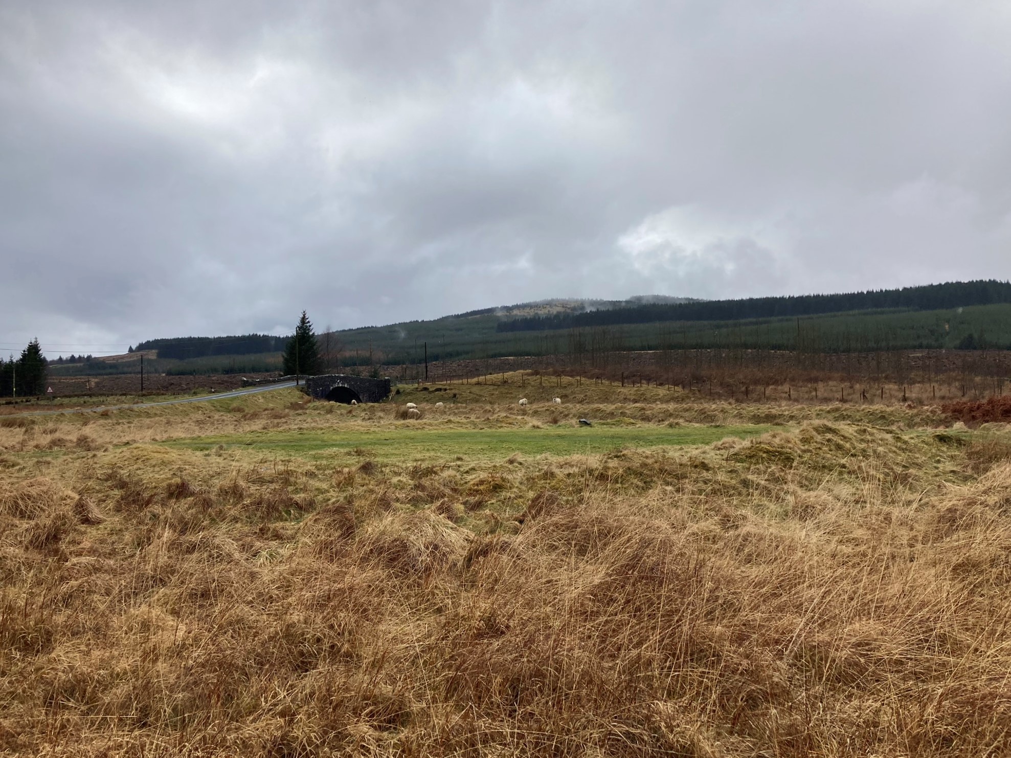


Kerb Stones on W Arc of Smittons Bridge Kerb Cairn.

E Half of Smittons Bridge Kerb Cairn viewed from N.

W Half of Smittons Bridge Kerb Cairn viewed from S.

Grass Track Bisecting Smittons Bridge Kerb Cairn on a N-S Axis.
Visited 25.03.23
Smittons Bridge Kerb Cairn has been reduced to a low grassy circular platform at the base of Stroanfreggan Crags, c. 5 miles E of Carsphairn. It is located c. 100 yards E of Smittons Bridge on the B729 Moniaive road. The cairn has been bisected by a grass track, starting c. 100 yards E of Smittons Bridge, leading N to a disused quarry at the foot of Stroanfreggan Crags. The platform measures c. 60 feet in diameter reaching a height of c. 2 feet on the NE Arc. An earth bank survives on the NE, SE and W Arcs of the kerb cairn. There are several large kerb stone extant on the W Arc. The centre of the platform is flat with a grass track on a N-S Axis despoiling its surface. Canmore ID 64347 has a full description of Smittons Bridge Kerb Cairn.


Visited 30.04.10
Barsloisnoch Cists are located c. 150 yards E of Barsloisnoch Farm in rough pasture, c. 75 yards S of the minor road to Crinan Ferry. Barsloisnoch SE cist (NR 8136 9567) is located in a patch of marsh. The cist is buried up to ground level. It has an impressive sub-rectangular capstone slab measuring c. 9 x 4 x 0.75 feet. The second ruined cist, Barsloisnoch NW (NR 8135 9568), is located c. 10 yards NW on a stony grass mound. The remains of the cist consist of one upright side slab and a small capstone slab, measuring c. 4.5 x 2.5 x 0.25 feet, in a shallow hollow. The measurements and grid references were taken from Canmore ID 39476. Further information is available in Canmore ID 39476.
