


Earthfast Stone in SE Arc of Pawton Gate Barrow.

A Cluster of Exposed Stones in W Arc of Pawton Gate Barrow.

Centre of Pawton Gate Barrow viewed from S.
Visited 20.02.23
Pawton Gate Round Barrow measures c. 22 yards in diameter and 1 foot high on pastureland 250 yards N of Roseannon Downs. The surface of the barrow is featureless, covered in tufts of grass with few stones visible. There is an earthfast stone in the SE Arc and a small cluster of stones breaking the surface in the W Arc.
Further details of Pawton Gate Barrow are included in English Heritage List Entry Number: 1004405.

St Breock Downs NW Barrow viewed from N.

St Breock Downs NW Barrow viewed from E.

St Breock Downs NW Barrow viewed from S.

St Breock Downs NW Barrow viewed from W.

Plaque on S Arc of St Breock Downs NW Barrow.

Central Hollow of St Breock Downs NW Barrow viewed from S.

St Breock Downs N Central Barrow viewed from N.

St Breock Downs N Central Barrow viewed from E.
St Breock Downs N Central Barrow viewed from S.

St Breock Downs N Central Barrow viewed from W.

N Arc of St Breock Downs N Central Barrow.

E Arc of St Breock Downs N Central Barrow.

S Arc of St Breock Downs N Central Barrow.

W Arc of St Breock Downs N Central Barrow.
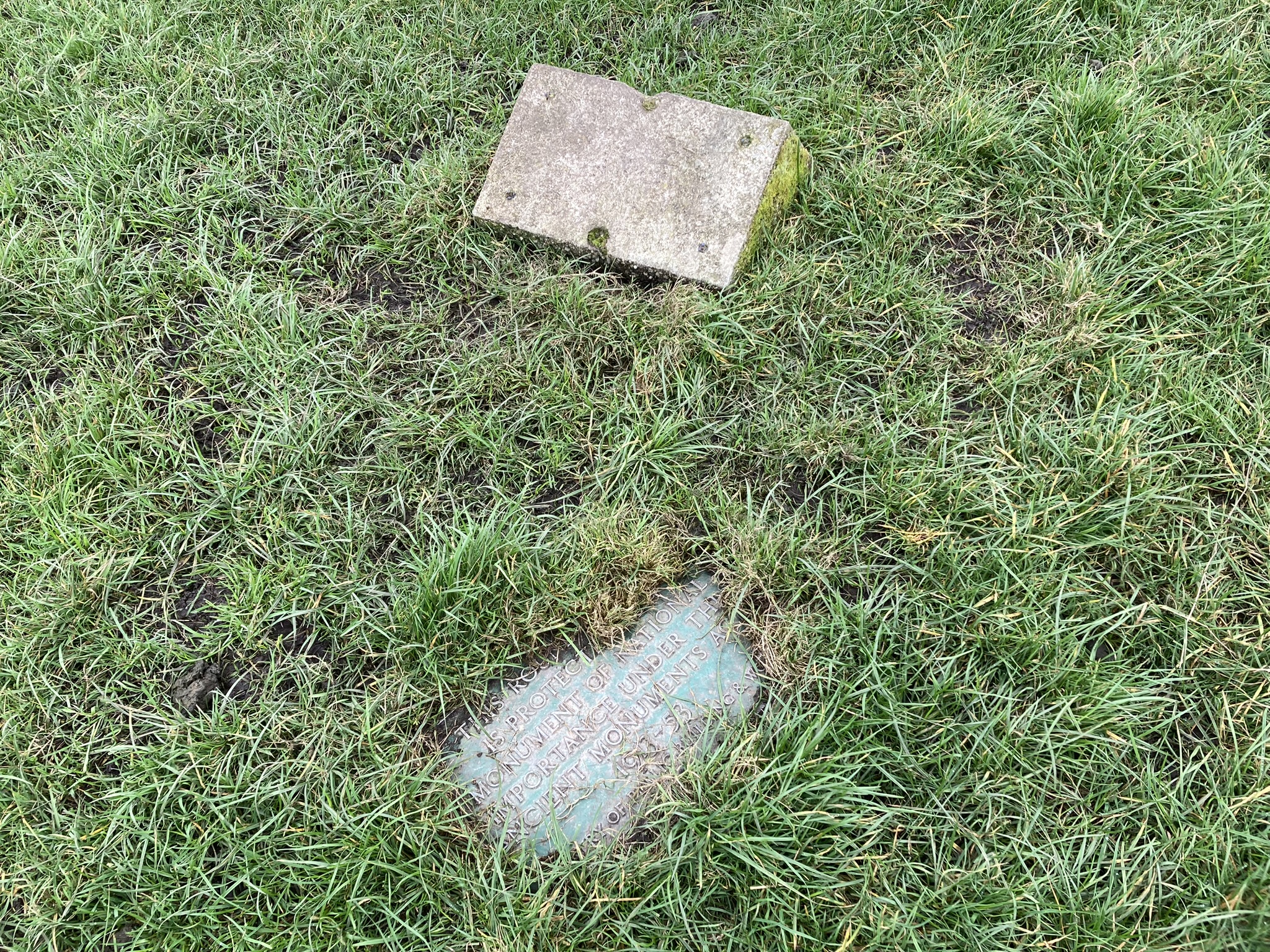
Broken Plaque on SW Arc of St Breock Downs N Central Barrow.
St Breock Downs NE Barrow viewed from N.

St Breock Downs NE Barrow viewed from E.

St Breock Downs NE Barrow viewed from W.

Earthfast Stone in W Arc of St Breock Downs NE Barrow.

Central Mound of St Breock Downs NE Barrow viewed from S.
Visited 19.02.23
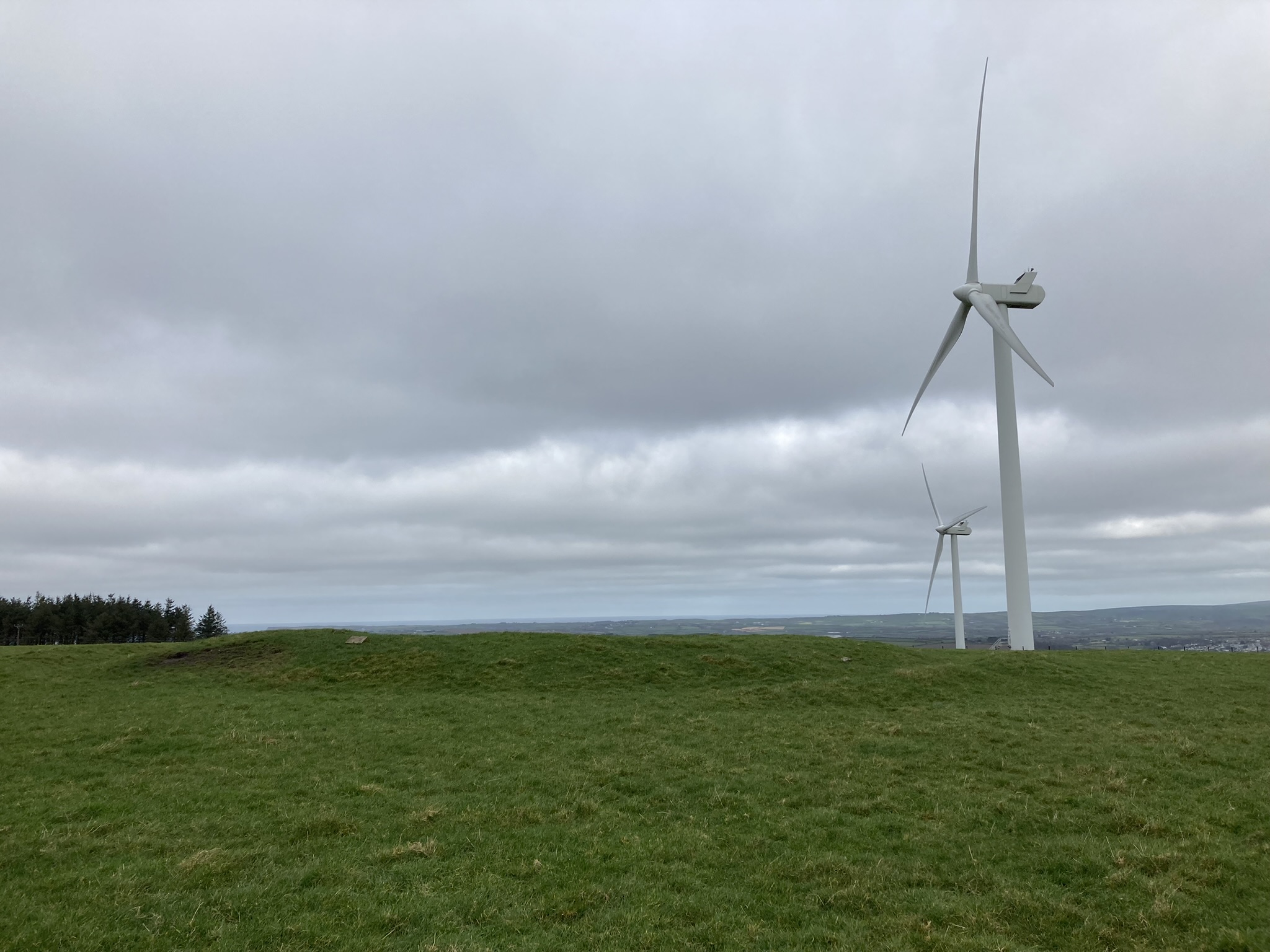
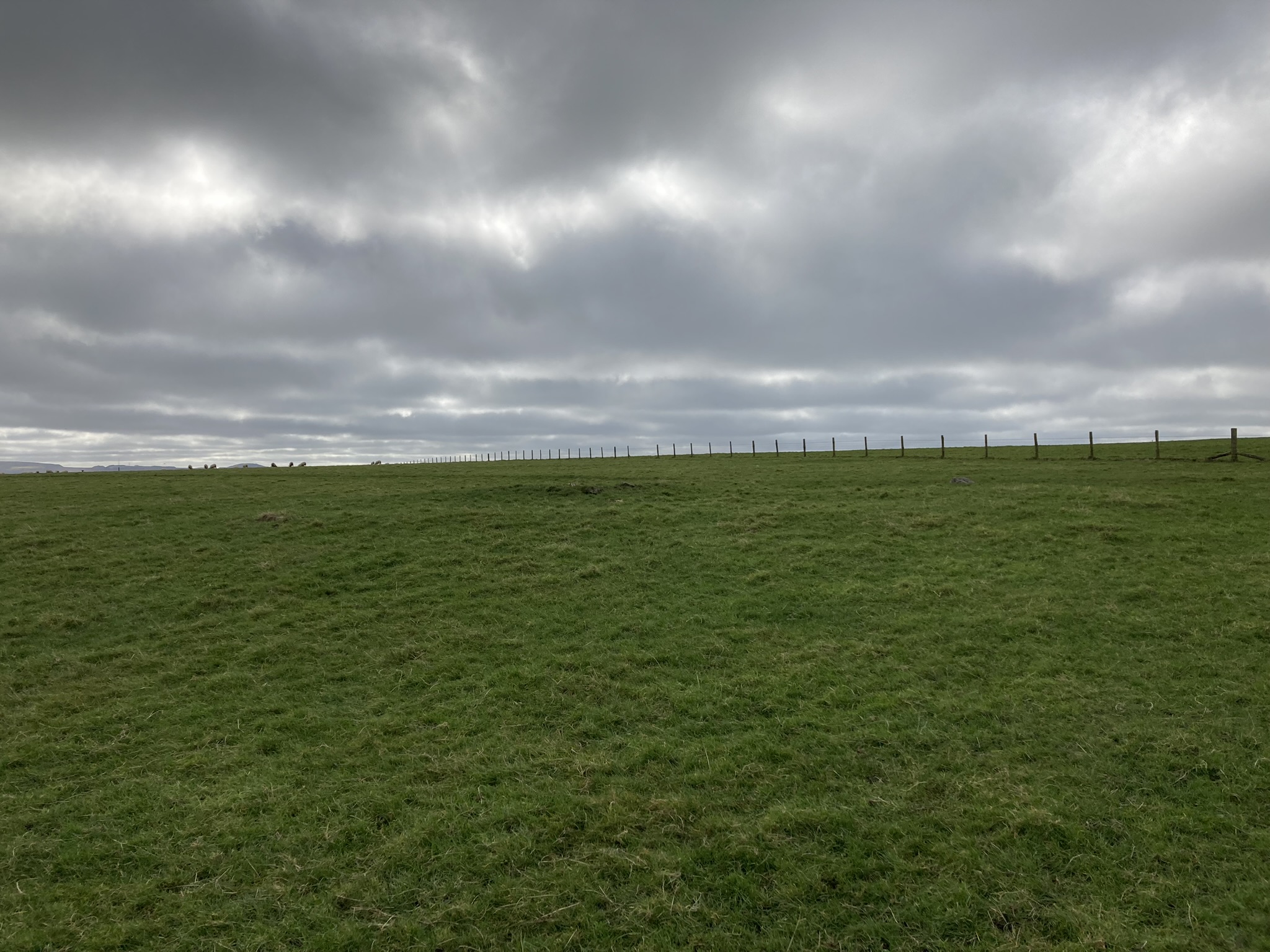
There are 3 barrows in a E-W alignment on St Breock Downs c. 3 miles SSW of Wadebridge:
St Breock Downs NW Barrow (SW 97124 68370) measures c. 19 yards in diameter and 2 feet high and has a shallow ditch c. 1 foot deep surrounding the barrow. There is a central hollow measuring c. 6 yards in diameter and 1.5 feet deep, offset to the S by several yards. A plaque defining the barrow as a protected ancient monument is located on the S Arc of the barrow.
St Breock Downs N Central Barrow (SW 97244 68388) measures c. 35 yards in diameter and 4 feet high and has a shallow ditch c. 2 yards wide and 1 foot deep surrounding the barrow. There is an outer grassy bank measuring up to c. 6 yards wide and 2 feet high. A broken plaque defining the barrow as a protected ancient monument is located on the SW Arc of the barrow.
St Breock Downs NE Barrow (SW 97376 68449) measures c. 20 yards in diameter and 1 feet high. There is a central circular mound measuring c. 7 yards in diameter and 1 foot high with a shallow central hollow c. 6 inches deep. The perimeter of the central mound has a horseshoe of small earthfast stones from the NW to S Arcs.
Historic England List Entry Number: 1004404 has further details of St Breock Downs North Barrow Cemetery.

Ring Feeder in Centre of Castlehowe Scar Stone Circle viewed from E. (27.02.23)
Visited 27.02.23
I visited Castlehowe Scar Stone Circle on my way back home from Cornwall. I was disappointed to see a feed ring in the centre of the circle (picture submitted). This is not a recommended conservation option!

Path to St Breock Beacon Kistvaen viewed from N. (19.02.23)

St Breock Beacon Kistvaen viewed from N. (19.02.23)

St Breock Beacon Kistvaen viewed from N. (19.02.23)

E Stone of St Breock Beacon Kistvaen viewed from N. (19.02.23)

W Stone of St Breock Beacon Kistvaen viewed from E. (19.02.23)
Visited 19.02.23
I had difficulty in locating St Breock Beacon Kistvaen on my revisit. The thick vegetation lining the path to the trig point made an approach from here impossible. After some perseverance I found a way in from the road running W past Beacon Farm road end. Walk 40 yards W of the Beacon Farm road end to reach a vague path heading S into briars and gorse bushes. Head S towards a small gap between gorse and taller brushwood. After a 30 yard scramble through gorse and briars I reached a clear spot containing the ancient stones. The smaller E Stone is c. 7 ft long on a N-S Axis and the wedge-shaped W Stone is c. 9 ft long on a NW-SE Axis.

St Breock Downs Barrow viewed from S.

St Breock Downs Barrow viewed from S.

St Breock Beacon Entrance Grave viewed from SE. (13.10.13)

St Breock Beacon Entrance Grave viewed from NE. (13.10.13)

St Breock Beacon Entrance Grave viewed from E. (13.10.13)
Directions to Drumduff Cairn
Take the rough track at NX 0929 7737 on the A77. After c. 200 yards park up at a junction: there is a ditch in the road blocking further progress. Head c. 100 yards N along the track, go straight into a field. Head W alongside the fence, following the fence round a corner towards a dry stane dyke. The dry stane dyke heads WSW to the cairn on the summit of Carlock Hill. My route is viewable on Carlock Hill Cairn.
Directions to Drumduff Cairn
Drumduff Cairn is located in open moorland c. 4 miles S of Ballantrae. Take the unsigned single track road SE off the A77 at NX 0943 7895. Bear left after c. 0.3 mile. Follow this narrow track for c. 1.7 miles to a lay-by at NX 0699 7710. Walk c. 200 yards W along the track to a belt of trees at NX 0681 7705. Follow the grass track heading S for c. 0.5 miles to the track end at NX 0709 7632. Walk c. 220 yards W through rough moorland to reach Drumduff Cairn. My route can be viewed on Drumduff Cairn.
Directions to Penderry Hill:
There is a minor crossroads on the A77 at Glenapp Church, c. 6 miles S of Ballantrae and 4 miles N of Cairnryan. Take the unsigned road opposite Glenapp Church and turn immediately right onto a dead end at Glenapp Schoolhouse. Park up at NX 0743 7466 and follow the Ayrshire Coastal Path bearing right across the Water of App Bridge. Head SW and bear right up the ACP at NX 0671 7421. Follow the ACP for c. 1.2 miles to reach a pair of short standing stones at NX0552 7453. Continue N on the ACP for c. 0.2 miles to reach NX0561 7485. Head SE through a gate on the left. After c. 30 yards head N through a gate into open moorland. Follow a track heading N at first, then take a track heading NW up the slope. Maintain a NW bearing towards the OS Trig Point to reach the cairn on the summit of Penderry Hill. My c. 2.5 miles route is viewable on Penderry Hill Cairn.


