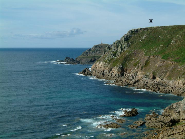
To put things into perspective...Carn Gluze sits atop of the cliff in the centre distance. Cape Cornwall with its prominent mine chimney sits behind.
..and yes it was a great day, and the sea was warm..
To put things into perspective...Carn Gluze sits atop of the cliff in the centre distance. Cape Cornwall with its prominent mine chimney sits behind.
..and yes it was a great day, and the sea was warm..

Looking SE from atop of the tor. Hut circles and cairns scattered about the moorland below.
Looking northeast...towards Nine Stones...which can not be viewed although not too far away.


Hidden amongst the verdant growth of West Penwith, the Carfury menhir takes some finding even on a sunny day.

Looking south, possible stone row runs through field, above wall to the right. It might meet up with stone circle at southern end.


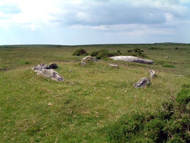
To the south of the barrow there is marked on the OS map a circle of stones?...It is not marked as a stone circle and to my untrained eye, there is no sign of a circle. However, there are many stones lying around....could they be the reamins of something?
A30 in the background.


Cuckoo Rock settlement with Burrator Reservoir in the distance.


The northern row from the bottom (Eastern row in background)


Looking north on a very murky day in May. the stone row starts its 2 mile run over the moor from just behind the circle.


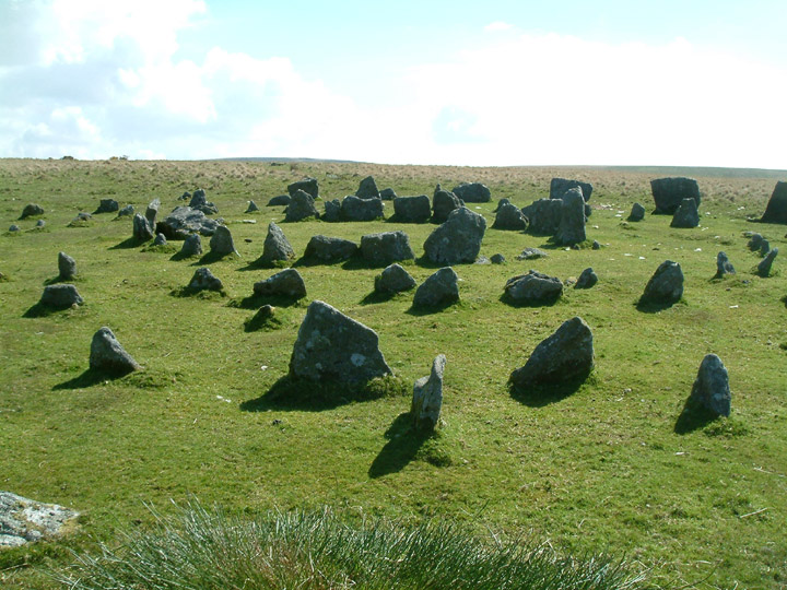
The “table” at the top of the site.


Stowes Hill from the northeast, atop of Sharp Tor. Rillaton barrow on horizon, far left.

Three banks lie right on the edge of the eastern side of the headland. There are others on the west bank but not so prominent.

The approach from the west...note recent burning of gorse/heather.


