


Looking northwest. Cist to centre with bank behind curving round to the right.

Looking over the edge of the cairn towards Baslow Edge on the left of picture


Looking northeast across the circle towards Sheffield. The bank extends to nearly the edge of the picture on either side and the stones of the inner and outer edge are visible to the left of centre. The central cairn is next to the clump of grass in the middle of picture.


Summer 2008. Compare the undergrowth in this picture with Stu’s photo of the same stone.

Looking southwest with the smaller damaged barrow to the left, larger barrow to the right.


Looking southeast from the track towards Harwood Dale Forest shrouded in mist

Head Stone to the left with rather tasty looking rock in the foreground.

It’s sad to see that nearly four years after Andy’s photo the painted smiley face has not washed off. It’s amazing how far idiots will walk to deface a stone.

Assorted tat found at the stones 30th September 2007 – carved wooden turtle, carved stone reptile or squid and inexcusably, a glass bowl.


Start of the chain. The northern barrow with the southern barrow to the right, looking south.


View from the top of Lilla Howe looking southeast down towards Scarborough.

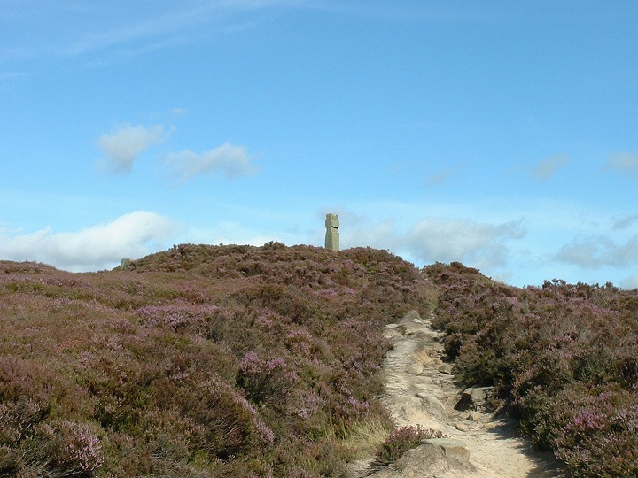


Looking roughly north. Boundary stone on the barrow, Trig point to the right.


Looking northwest. Southern barrow to the left, central barrow to the right.


View from the northeast. The northern barrow is on the right, central barrow to the left.

View from the crater of the south barrow looking eastwards towards Robin Hood’s Bay with Brow Moor on the right edge of picture.


Compare this picture with Fitz’s taken two years previously, looks like the site owners are happy to let the stone vanish behind the foliage.

I came across this carving on the way back from the Twelve Apostles to the Cow and Calf and haven’t got an exact position for it, but it would be interesting to see what condition it is in now as this picture was taken in Feb 2004. Not sure how fresh the carving was or who did it (Ray Mears maybe??) but it struck me how much contrast there was between the carved area and the surrounding stone and made me think again about how the stones on the moor would have looked when their cups, rings and ladders were first pecked out.

This was about the best I could do to see the patterns.
Feb 2004

The design on this stone is almost invisible now if the light isn’t just right – here you can just about make out some of the rings to the right of the rock.


