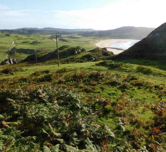
Looking down towards the abandoned graveyard. Out of shot to the left is a modern barn which has, on the Balnahard side, a fenced off sizeable relocated cist which was unearthed in the barn’s construction.
Image credit: Mike Purslow
Looking down towards the abandoned graveyard. Out of shot to the left is a modern barn which has, on the Balnahard side, a fenced off sizeable relocated cist which was unearthed in the barn’s construction.

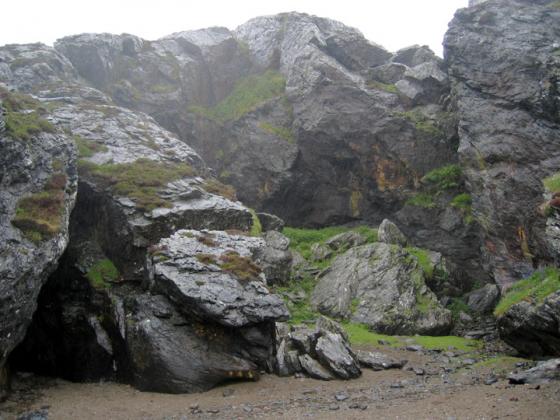
The side of the stone that you will see from the graveyard downhill
This stone is about 50m uphill from and in full view of the abandoned cemetery and ruined chapel that stand on the high ground between Balnahard and Balnahard Bay. Just follow the fenceline from the graveyard. It has mistakenly been called a stone of penance for the nuns who once lived hereabouts but it is millennia earlier than the date ascribed. I felt that it was on an track to possible sites on the higher ground beyond and on examination of satellite imagery has now revealed a wealth of old rig and furrow that starts about 600ft north of the stone and extends for a wide area on the hidden uplands here and I was therefore right. There is also a dun on the OS East of this area of cultivation. At time of writing I have yet to cross reference with Canmore and give that its correct name and add to this site.
As for the Balnahard area, it is a hard slog along the track from above Kiloran Bay, the nearest place to park: an hour and a half walk each way. If you want to do any more exploration of the archaeology on the hills around then be fit or bring a tent. I hope to return next year – there is so much to see….