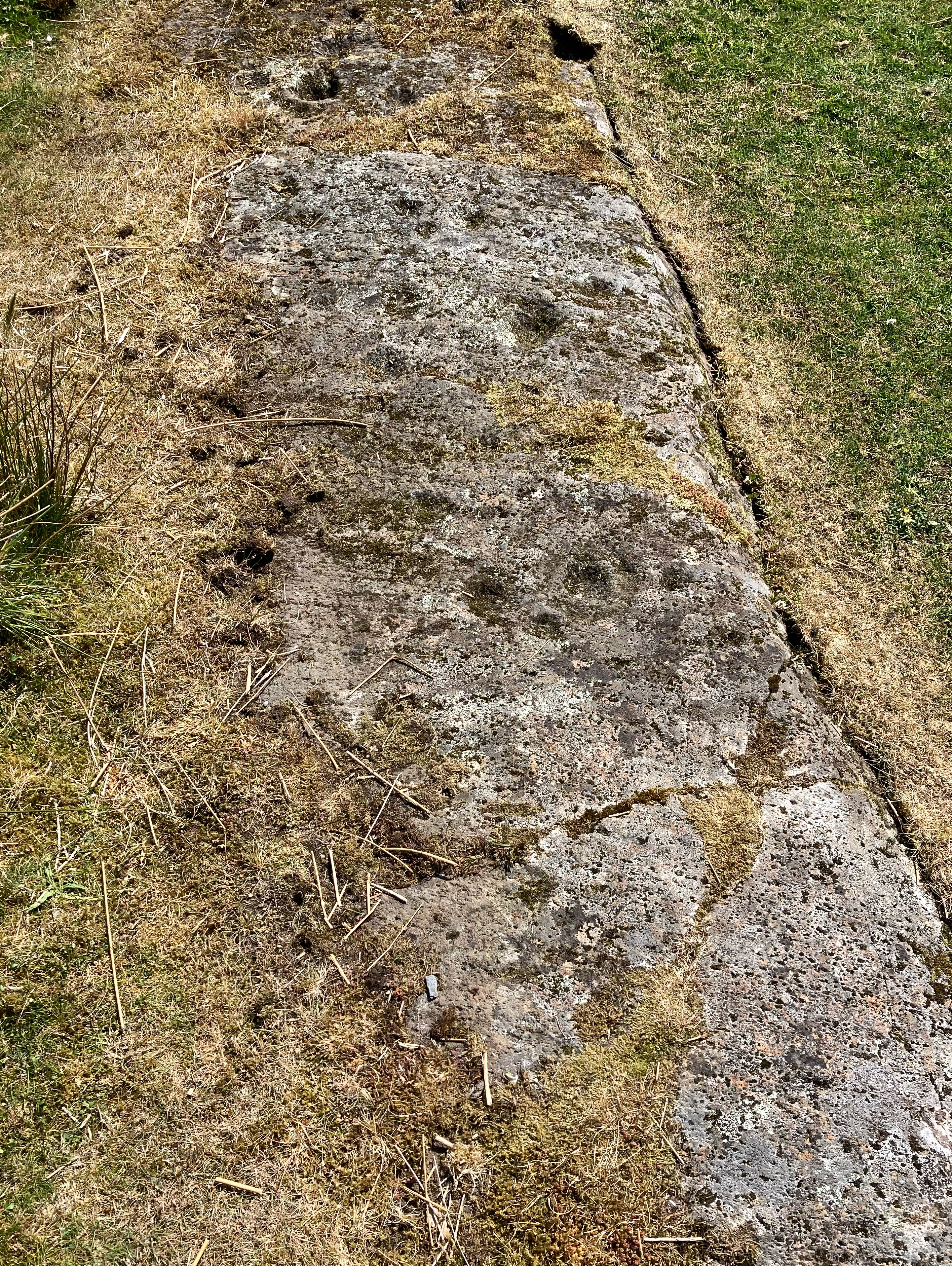
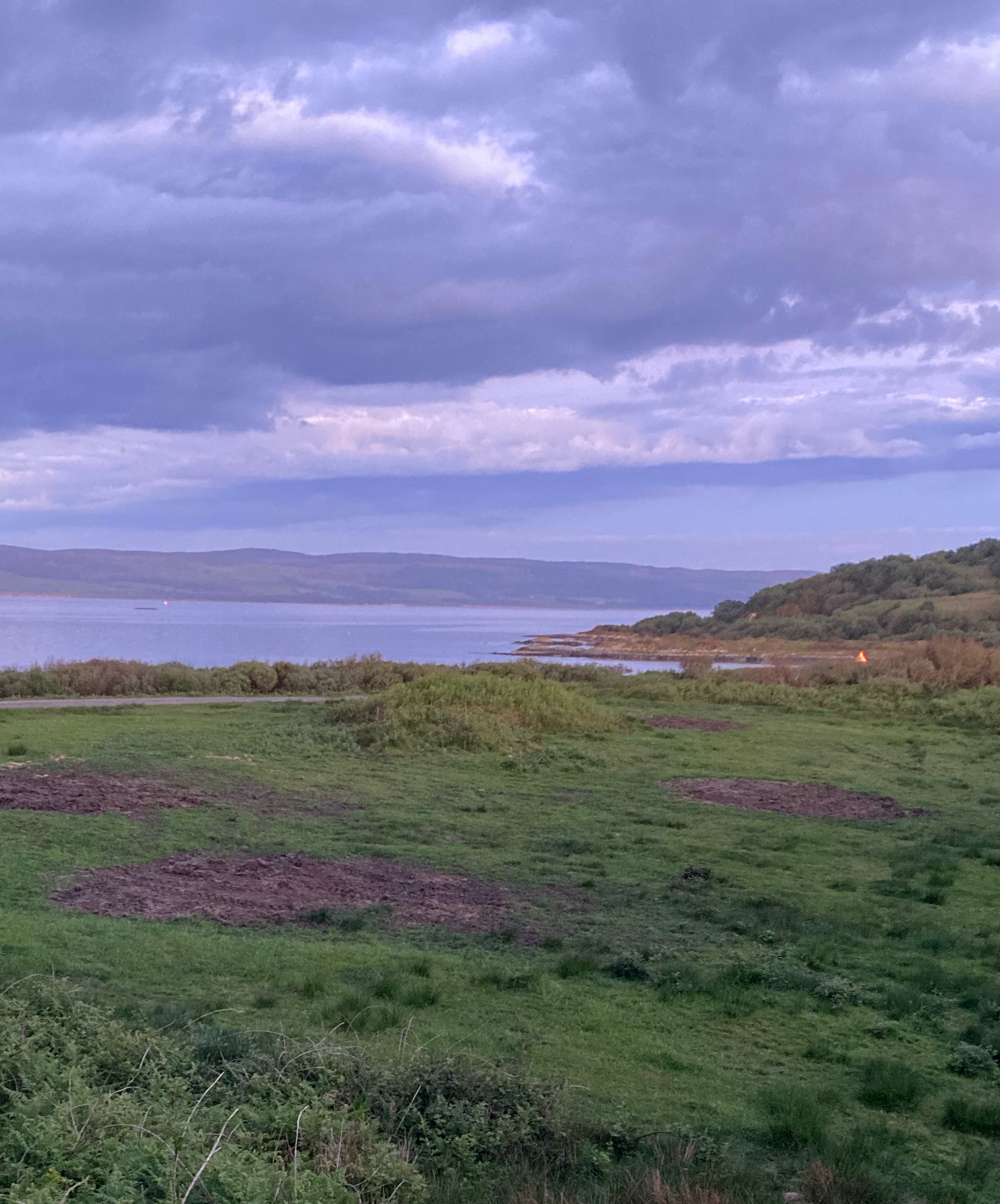
This second large mound, in the churchyard’s south side, is not recorded by Coflein
S side of church, mound visible under tower
The large mound that the church tower sits atop
While on our way along the track to Kerry Ring armed with an out of date OS map I did a double take.. eh, what’s this? Only later did I find that it was listed here. It is a skyline feature as soon as you get to the end of the forestry when coming from Black Wood car park – I had thought from a distance it was Kerry Ring. Superb views from here – until the replanted pine forestry along the ridge overlooking Kerry obscure that direction. Do ‘do’ the Kerry Ridgeway if you get the chance. So many sites and vistas. I’ve yet to complete it. Next time, touch wood.
Looking west over the Tump… albeit a very low feature it is nonetheless clearly defined.
An annual pilgrimage to this most idyllic and unspoilt part of the world and where my family’s roots are. I had previously failed to spot this site when driving to and fro but this time, armed with a large scale map thought I’d give it another go. Only after locating and photographing it – it’s just described as a ‘mound’ – did I find via the HE listing that it dates not from the Dark Ages as I’d previously read but in fact is about three thousand years old and therefore eligible for inclusion on this site.
The theory that it is the resting place of a chieftain named Pussa is therefore incorrect, unless his remains were interred subsequently. I prefer the translation as ‘burial mound with the pear tree’ anyway. The current tree, a venerable ash, both disguises the site and perhaps, due to its size, is counter to the HE description as being in good condition. But… nice to bear the name of something prehistoric, eh? And if you ever get the chance to visit this supremely timeless area do not hesitate. You’ll come back again and again as I do. A E Housman was right. One day my ashes may lie here too.
N side of the barrow that is the root of my family tree… an ancient ash atop
Seen from the Clun Road, showing how the barrow would be a skyline feature but for the trees that surround Purslow Hall
This is eroded and robbed site is situated atop the ridge that divides the Castleshaw and Delph valley from Diggle and may be seen from both locations. To reiterate, the well preserved horseshoe shaped feature downslope nearby is a WW2 gun emplacement – don’t be fooled! I have also noticed but have yet to attempt to get to another nearby feature under the boundaries of two field walls on the skyline downhill from the Saddleworth Hotel when seen from the A62 going towards Delph. This area may have more to offer..
The northern side of the barrow seen from Harrop Edge Lane
Looking North along the top of the Dyke from near the Southern entrance, near the beach car park. Once again, the enormity of the earthworks here is evident
The southern entrance through the Dyke showing the interior
The southern entrance through the Dyke from the beach below… those banks are immense – full grown trees for scale
Carl Wark (l) and Higgar Tor (r) seen from Burbage
The Western rampart, approaching from Higgar Tor
The SE corner.. the transition from built to natural defences
The northern side’s natural defences, Higgar Tor in background
View along S rampart to entrance
Why the winds at this place can be benign despite blowy nearby: the cliff profile carries them up and over. Seen from the promontory north of site (centre of image). Possible way down to shore visible below rocky knoll.
The South side of Lose Hill seen from the air. Barrow (just) visible at summit
Canmore ID 11544. The site is now occupied by the remains of Knock Castle and there is scope for more archaeological work deeper than that undertaken on the medieval remains. Grass covered wall foundations noted at a gully pinch point on the SW side may, one wonders, have an earlier origin. A fine vantage point.
East side of Arthur’s Seat seen from Musselburgh Lagoons
The University of Central Lancashire has announced the discovery of 11000 year human remains in Heaning Wood Bone Cave near Great Urswick, Cumbria.
E side looking towards Cheshire Plain
Looking E, Bass Rock just visible to L of wood in centre of image