
Cupmark on the capstone. Looking towards Carn Kenidjack and Carn Bean.
Image credit: A. Brookes (22.6.2022)

Cupmark on the capstone. Looking towards Carn Kenidjack and Carn Bean.

The approach over summer downs.


Looking from Stone 4 towards Stone 5.

Looking towards Tregeseal stone circle, with St Just beyond.

Focusing on the collection of recumbent stones around the edge of the circle. These intrigue me more each time I visit.
Around 40 standing stones thought to have been erected by prehistoric humans 7,000 years ago have been destroyed near a famed archaeological site in northwest France to make way for a DIY store, an angry local historian has revealed.
But local archaeologist Obeltz believes local authorities failed to properly investigate.
“There weren’t archaeological excavations in order to know if the stones were menhirs or not,” he said.
“We’re witnessing a series of failings. The state no longer protects our fellow citizens or our heritage. Appalling,” far-right leader Marine Le Pen said on Twitter.
When contacted, the Mr. Bricolage group said it “sincerely regretted the situation” but pointed to authorisations for its store granted last year.
france24.com/en/live-news/20230608-anger-as-pre-historic-stones-destroyed-for-french-diy-store
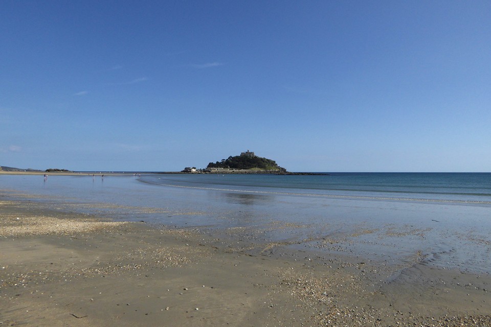
Midsummer afternoon, from Marazion beach.

Looking southeast towards Porthleven.


Looking west; West Penwith over on the left, Cudden Point in the centre, Rinsey Head on the right.

Showing kerb stones on the edge of the cairn, to the right of the chamber.
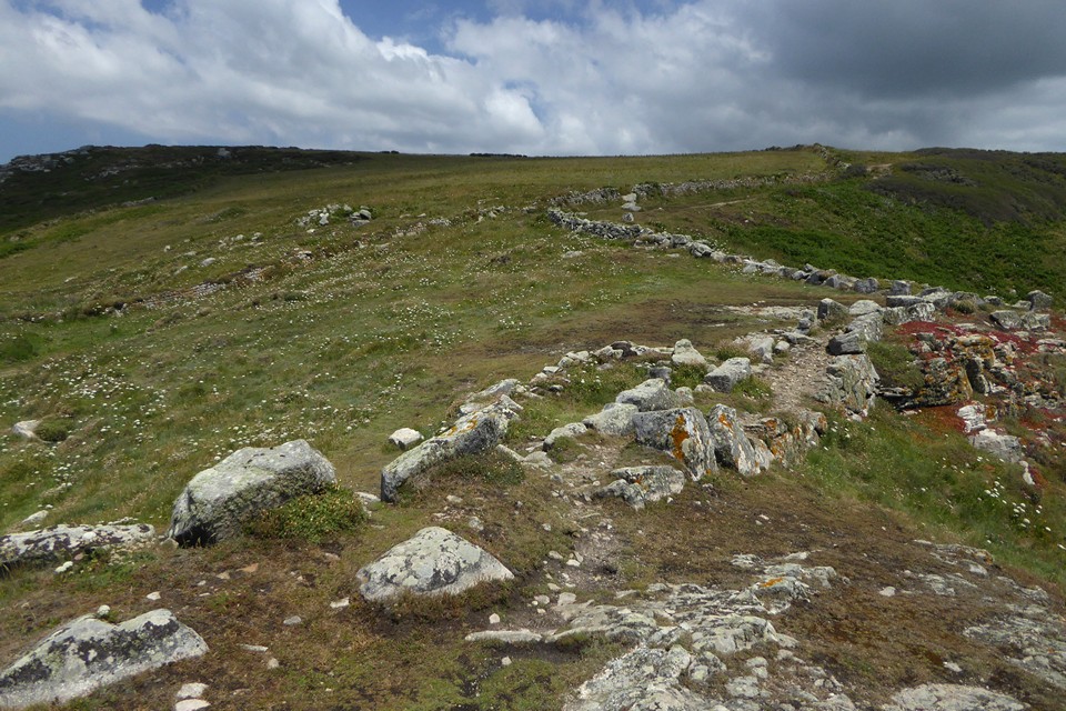
Looking uphill towards the cairn (centre) from the field system on the headland.

Semi-circular feature next to the ancient field boundary on the headland, which I didn’t notice when we were here 11 years earlier.

Midsummer, Trewavas Cliff. The path cuts through the edge of the cairn, and I think the exposed stone in the path itself may be part of the kerb.

Bronze (Age) plaque.

Thin side. The crack where the top broke off and was fixed back on is clearly visible.


Looking east from atop the rock towards Bodmin Moor; Roughtor and Brown Willy are on the left skyline, the tors above Minions and Caradon Hill to the right.

Even without the bonkers chapel this is a very cool place.


Approaching from the southeast.


Looking north towards Roche (Roche Rock is centre of image). The stone on top of the barrow is a boundary marker.

Looking west across the active china clay quarries.

This is a magnificent round barrow, one of the best in Cornwall. For thousands of years it stood atop the highest hill for many miles around (the highest point in Cornwall outside Bodmin Moor) but now it’s dwarfed by the spoil heaps of the china clay quarries and its 360 degree views have been cut off.

Looking down on the barrow (centre, with white-painted trig) from the artificial slopes of Hensbarrow Downs. Roche is below to the right.


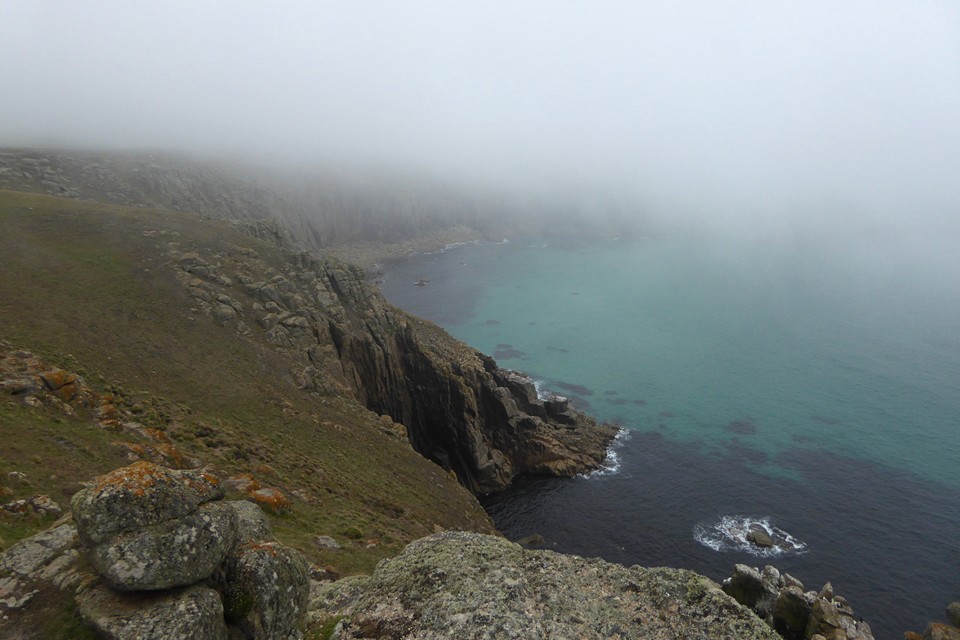


What appears to be a shallower bank and ditch to the northeast of the fort.

From Trevilley Cliff to the northwest, across Nanjizal.


The central slab in the eastern kerb cairn, with the hilariously inappropriate label “Iron Age Field System” now affixed to it.

The eastern cairn. Impressive kerbs in the foreground, exposed chamber stone behind to the left. The Coast Path cuts right through.

The central barrow. Since we were last here, a sign has been attached, reading “Bronze Age Cairn”.

The central barrow, incorporating boulder.

Looking across the exposed top of the western barrow towards Armed Knight and Land’s End. Longships is barely visible top left.


Contemporary field system to the southwest of the fort, built right up to the cliff edge.


Looking southwest towards Dr Syntax’s Head (Land’s End).

Looking over the sheer north flank to Castle Zawn (and wreck) far below.

Orthostats revetting the rampart near the entrance.

Approaching through the mist from the north. Double ramparts on the left. The tip of Land’s End can be seen behind.

Kerb in the foreground, chamber stones behind.