
Not the best site for a summer visit at present, the barrow is very overgrown.
Image credit: A. Brookes (24.6.2013)
Not the best site for a summer visit at present, the barrow is very overgrown.


Prostrate stone between 2 and 3, with apparent hole on left hand edge.


Chamber of the central barrow, looking towards the battleship silhouette of Carn Kenidjack.

The SW barrow, covered in foxgloves. Posted in an attempt to show inter-visibility with Tregeseal stone circle.

Erosion at the base of one of the stones, a result of the grazing policy.

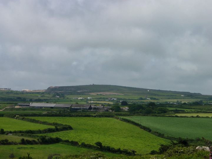
Heavy skies at Tregeseal. Looking west to Boswens Common.


Godolphin Hill (left) and Castle Pencaire (right) seen from Trencrom to the NW.
Viewed from the neighbouring hillfort of Trencrom.

Natural basin in the granite inside the fort. Perhaps the floating roses are a Midsummer offering.

Gatepost, western entrance. The bright white colour on the upper half is lichen.


Looking across the northern interior, Midsummer’s Day. Trink Hill (left) and Rosewall Hill (centre) each have barrows.

Fine hut circle within the fort. The neighbouring hillfort of Castle-an-Dinas can be seen on the skyline.

Prominent St Agnes Beacon, centre skyline. Seen from Cligga Head to the northeast.

Ligger Point from the southeast. The western barrow can be seen standing prominently on the headland.


The central barrow (right foreground) and the western barrow (left background).


The western barrow, from the west. The sign reads “Warning – Troops Training. Do not touch any military debris, it may explode and kill you”. So there.


Ligger Point barrows seen across Hoblyn’s Cove to the north. The largest barrow is on the highest point of the headland, the other two can be seen down the slope to the left (landward).

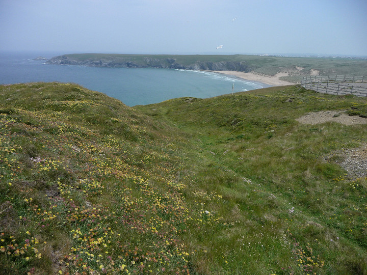
Penhale Point cliff fort from the southeast.

At their southern end the ramparts (foreground) are all but vanished.

The ramparts are covered in succulent plants, producing pretty yellow flowers in summer.

The central section of rampart, looking westwards into the fort.
Looking across Holywell Bay towards Kelsey Head, the next cliff fort along the Cornish coast.

The double rampart at its better-preserved northern end.

Looking from the fort to the neighbouring island of Carter’s Rocks.

Approaching the double rampart from the east.

Looking across Holywell Bay to the Kelseys.

The prominent fort, centre skyline. Seen from fields to the west.

With the May tree in full bloom.

Remaining stones of the retaining circle or kerb, southern cairn. The northern cairn can be seen in the background.

The southern cairn, showing the use of granite outcrop in the construction.


Capstone of the cist in the northern cairn.


The curving entrance passage to the fogou.


