The northern aspect. Certainly no manure now.
Image credit: A. Brookes (7.7.2013)
The northern aspect. Certainly no manure now.

Landscape setting, seen from the NNE. The stone overlooks the Towy estuary. Llansteffan hillfort/castle can be seen across the river.


Summer’s morning reprise of previous evening’s view. The hilllfort/castle is centre.

Summer sunset over Llansteffan, from Ferryside on the opposite bank of the Towy.

Llansteffan Castle/hillfort across the Towy from Ferryside.

Illustration of bronze age find from the barrows, shown on information board in Llansaint village.
Two barrows excavated in the 19th century, positioned on the summit of a hill overlooking the Gwendraeth estuary.
Coflein description:
Two barrows, at SN40530897 (Dat Prn1394) and SN40750900 (Dat Prn1393), each c.75’ in diameter and ploughed down to around 0.5m high.
Opened 1850 revealing possible mass cremation in the eastern barrow and an inhumation and separate cist in the western. Beaker fragments and a stone ‘axe hammer’ are reported from the barrows as a group.

Court Wood, seen from NNW across Pembrey Airfield.

Wooded and prominent, Court Wood seen from the SSW.


The side stones in the chamber itself have several semi-circular gaps along their edges.

Posted to show that the two front facade stones do not rest on the uprights. They are earthfast and rely only on their sockets to keep them from falling over.


Some days on Zennor Hill it helps to already know the way...


F3, looking out to sea.

F4, one of the less well-preserved houses in the southern group.
F3, the largest of the round house structures in the group.

The southern part of the settlement is built around this prominent rock outcrop.


The best preserved of the round houses in the southern settlement (I think it’s F1 on the plan).

Hut A1 (see plan).

Ivor Thomas’ 1960 plan of the southern (enclosed) part of the settlement, from the info board on site.


The centre of the large barrow.


Looking across another of the hut circles towards Boswens Common and the hillfort of Chun Castle.

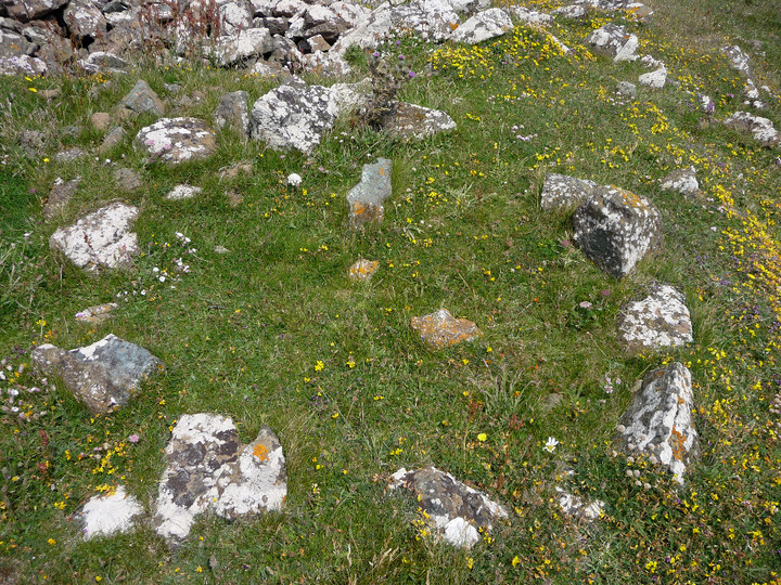
Detail of the best-preserved circle. The boulder in the foreground has been cut into, with a circular feature that the Pastscape entry likens to a mortar.

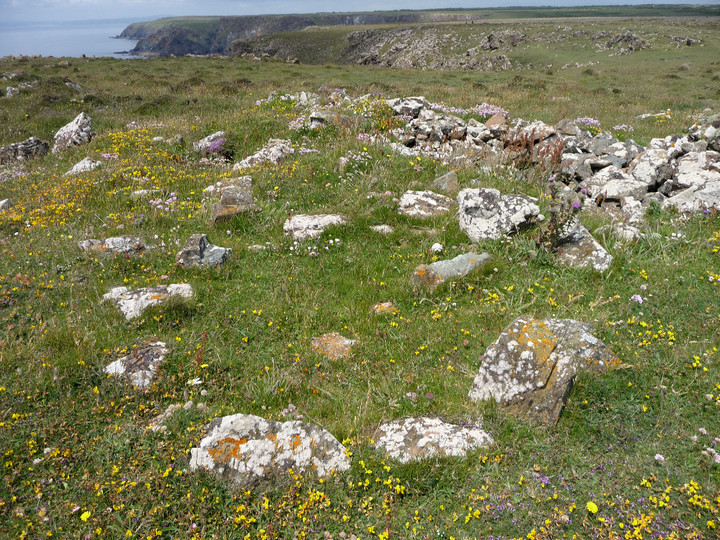
The best-preserved circle of the group.

Looking north across another of the simple circles to the unmistakable tor of Carn Galva.

Hut in the centre of the group.

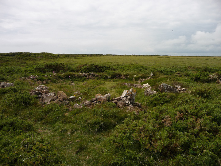
Simple hut circle at the SW of the settlement site.
This site has been recently (May 2013) cleared by the fine people of Cornish Ancient Sites Protection Network (CASPN), leaving it easier to access and see than it has been for many years.
The site is listed in Craig Weatherhill’s excellent “Belerion” (Alison Hodge 1981), with a plan. There is a main group of 8 buildings, together with a triangular enclosure that may have been a pound. A Bronze Age date has been ascribed to the simple circular houses, which raises the possibility that this was the home of the people who erected the wonderful Nine Maidens of Boskednan stone circle and the Men an Tol, both of which are on the moors nearby.
The Pastscape record for the site mentions the following feature inside the settlement:
One item which appears to be associated with this settlement is a natural boulder about 0.9m sqare and 0.5m above ground, with a circular depression 0.15m in diameter and depth, cut into the top. It looks very much like a mortar and is adjacent to the NE side of the hut circle at SW 42813443.

Another of West Penwith’s more overgrown round barrows. The backdrop is Morvah and the Atlantic.