Looking southeast down the valley towards the sea.
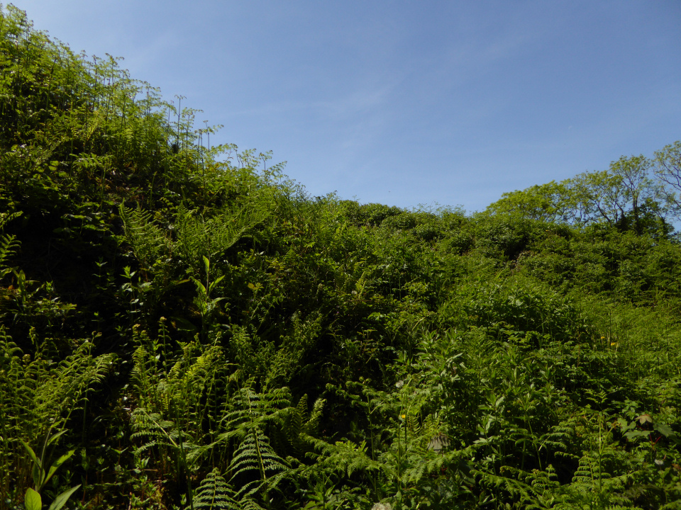
Impressive ramparts loom higher than my head from down at their base.
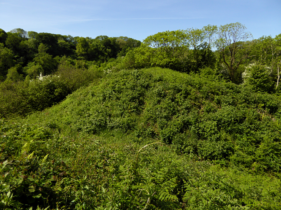
Under all the vegetation, this has probably the best preserved ramparts of any of the south Gower promontory forts.

Looking down on the inner bank and ditch from the outer.

The southern flank of the fort, dropping steeply down to Bishopston Valley.

The promontory fort overlooks the Bishopston Valley, which is now thickly wooded. A little to the east at Hanging Cliff the foliage opens out the give an aerial view of the valley. The fort is down and to the right but obscured by the trees.

Say miss, want to be famous?

The shapeliest of the stones in this area.


Really like this site, the windblown hawthorn bushes add to the setting.

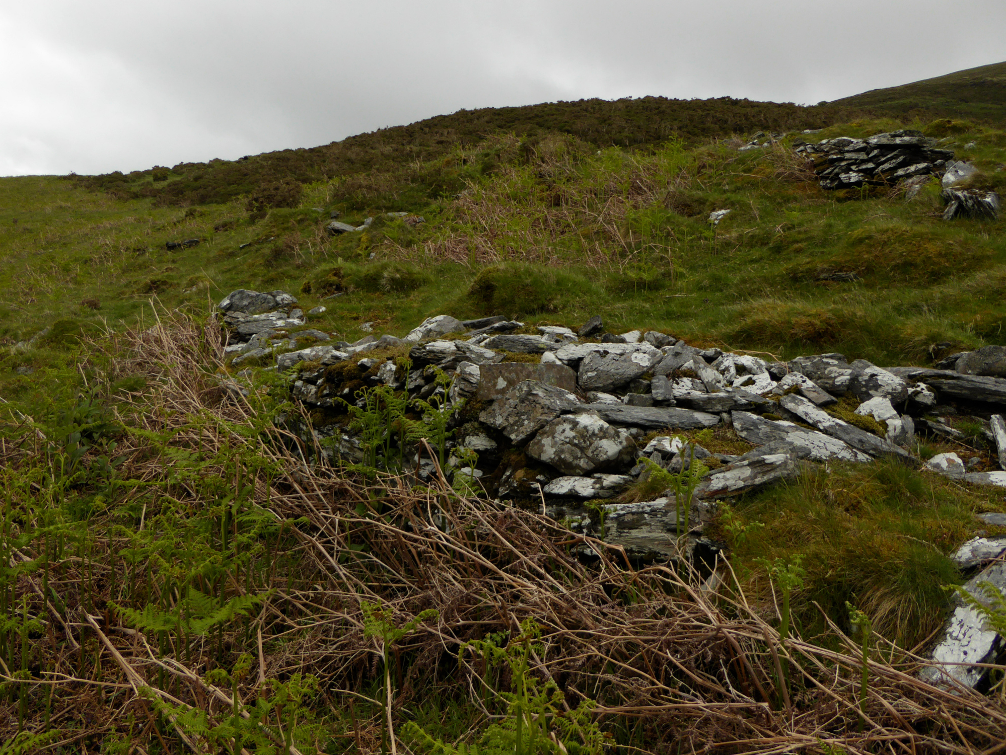
Orthostatic slabs inside the rim of the possible ring cairn at SH61123094.


The possible ring cairn at SH61123094.
There is another possible ring cairn at SH61123094.
Gwynedd Archaeological Trust have it listed as a hut circle, but the most recent notes in 2001 say:
Possibly a ring cairn, not a hut circle. It has inner orthostatic thin slabs, no obvious entrance and on an exposed viewpoint. However, an old wall adjoins and there is possibly early field. Also rather large for a hut circle 7m internal diameter (Smith 2001).


Looking towards Moel Goedog hillfort.

Looking towards Moel Goedog hillfort.

Looking towards what would be an ideal place for a cupmarked gorsedd, but isn’t.

Looking down on the Dwyryd estuary across the northwestern ramparts.

Looking along the ramparts towards prominent Foel Senigl.


At the highest part of the fort, crossed by the drystone wall, is a sub-circular feature. Maybe the remains of a hut circle, or even an earlier cairn?

Northeastern ramparts, looking towards the cloud-obscured northern Rhinogydd.

Approaching from the southwest along the line of standing stones. The eastern of the two ring cairns is just above and to the right of the sheep. The flank is marked with a number of curving features that appear to be man-made.

Looking across the Dwyryd estuary towards Moel y Gest. The large boulder on the right of the ring appears to be a recent incomer, as it’s not visible in the earlier TMA photos of the site.

Looking southwest towards Foel Senigl, which despite being a prominent landscape feature from all these sites below Moel Goedog has no monument of its own.

Moel Goedog east, unlike its partner this one is unexcavated and unrestored.

The prominent hill on the skyline is Foel Senigl. The stone-built bank of the cairn is really well defined.


Looking across the Dwyryd towards Portmeirion. No Moel Hebog or Yr Wyddfa today...

This superb ring cairn is built on a leveled terrace on the slope of Moel Goedog. Bemused locals look on.


The hill behind is Moel y Gerddi, this is looking southeast very approximately towards Bedd Gurfal stone circle.

The bullocks in Idwal’s photo have been replaced by punk sheep.

Looking northeast to Moel Goedog hillfort. Stone 3 is on the right over the fence. Stone 1 is (not visible) in the next field through the gate. The two ring cairns are not visible from here, on the slopes of Moel Goedog.

Stone 2, looking southwest. The hill on the right is Foel Senigl, between here and there are four more standing stones.

Stone 2. The stone pile in the background is field clearance.