


Chris paces the diameter in megalithic yards.

Looking east across the site towards Y Gyrn.

Some substantial masonry in the outermost wall.

Looking down on Maes y Caerau from Y Gyrn, with the Dwyryd estuary beyond. Moel y Gest can be seen through the gloom across the river to the left of centre, above the Italianate uber-folly of Portmeirion.


The scene turned nearly monochrome.


Looking SSW, the sun briefly lighting the slopes of Moel y Geifr.
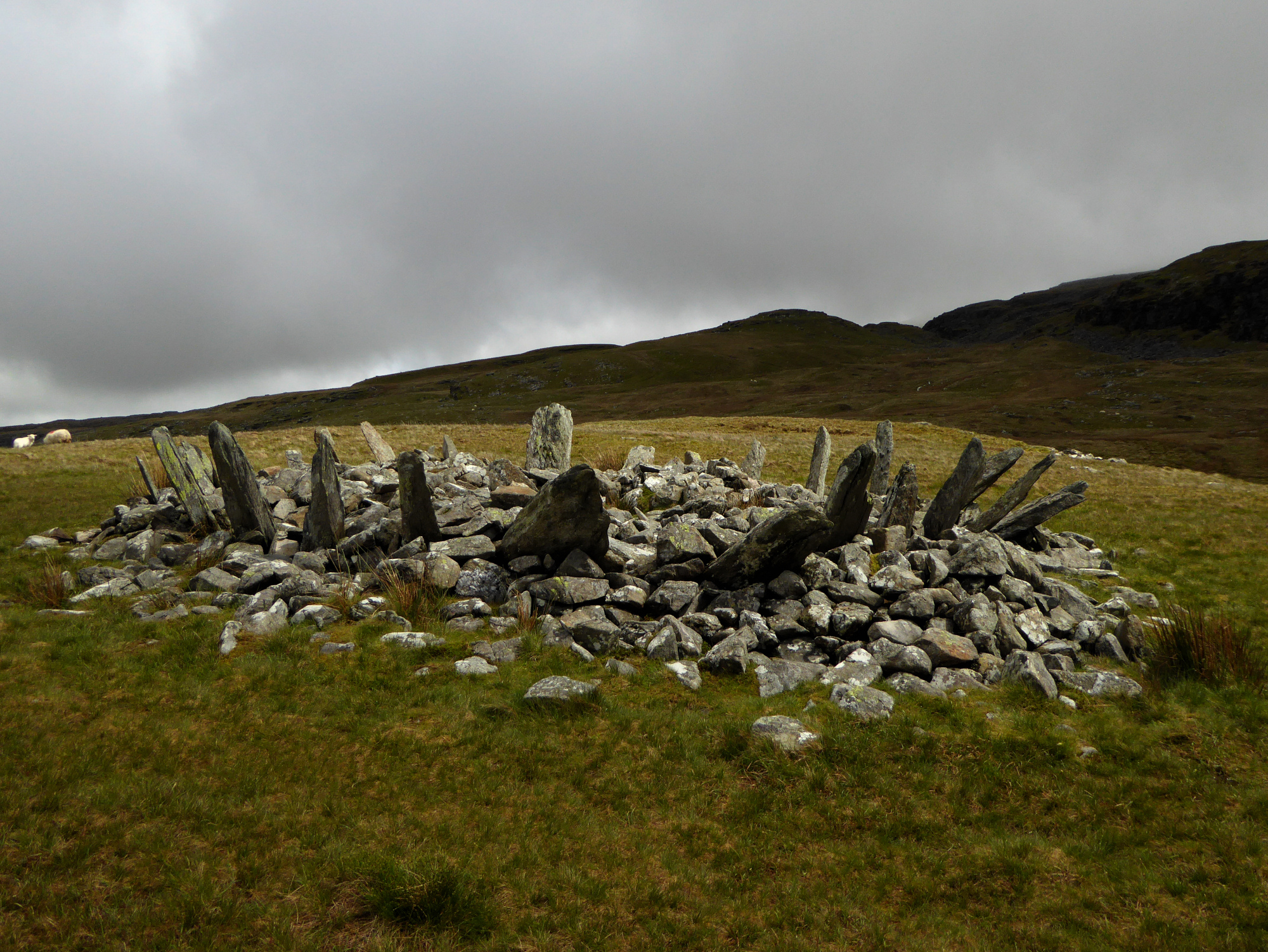
The dark ridges of the Rhinogydd glower down on the monument.

The enclosed group, overlain with sheepfolds, can be seen on the hillside to the right of centre. The viewpoint is the extraordinary Bryn Cader Faner cairn.

Dramatic setting for the hut circle at SH64423549. On a better day the views would be of the mountains east of Blaenau Ffestiniog and on towards Moel Siabod.

Well-preserved hut circle at SH64423549.

The northern end of the settlement, looking NNE. Tumbled walls can be seen in the foreground.
Round house settlement to the east of Moel y Geifr, alongside the track between the Y Gyrn cairns and Bryn Cader Fader. The site consists of scattered individual hut circles to the north at SH64543572, SH64433568 and SH64423549, and a more compact enclosed courtyard group at SH64533516.
There are suggestions of fragmentary field systems around the hut circles.
Dating could be anywhere between Bronze Age and Romano-British.
Detailed report based on evaluation and excavation at Tinkinswood, including the “quarry” area and Bronze Age barrow, led by CADW’s Ffion Reynolds.

Yr Eifl from Dinas Dinlle, at the end of a walk that began under its crags.

The scooped top of the round barrow/signal station/whatever inside the fort.

Parts of the rampart have been topped with wooden slats in an attempt to reduce erosion.

The curve of the eastern rampart. The skyline is filled with the mountains of northwest Wales, Yr Wyddfa and Mynydd Mawr on the left and the Nantlle ridge across the centre.

The view over the northern ramparts. The dark line on the horizon is Ynys Mon, steadily drawing closer on the coast path now.

Looking southwest towards Yr Eifl and the Llyn.

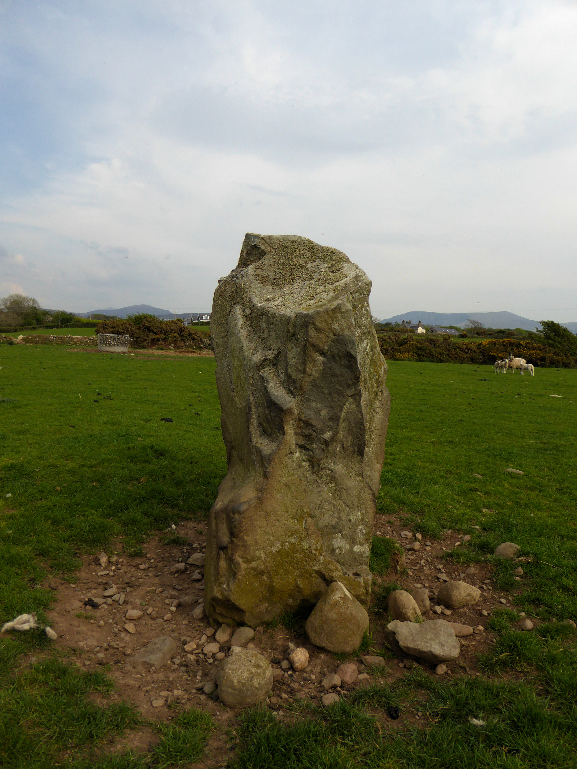
Looking east to a backdrop of Mynydd Mawr (left) and Craig Cwm-silyn on the Nantlle ridge (right).


Y Foel is the green, rounded hill, right of centre. To the left are three cairn-topped mountains of the Nantlle ridge (Craig Cwm-silyn, Garnedd Goch and Mynydd Graig Goch).


There is a ruined Bronze Age cairn on the prominent hill, far left, now built into the field wall.


Looking southwest towards Gyrn Goch and Yr Eifl.


Deeply carved cupmarks on the capstone.

Caernarfon Bay behind, the low coastline of Ynys Mon just visible far right.

With Gyrn Goch and Gyrn Ddu behind.

Ffynnon Beuno (see Folklore posts).

The northwestern peak, Garn For, drops straight down to the sea. The cairn is on top of the summit, balanced precariously above the ongoing quarrying.


