
The southern cairn, showing the use of granite outcrop in the construction.
Image credit: A. Brookes (18.6.2013)

The southern cairn, showing the use of granite outcrop in the construction.


Capstone of the cist in the northern cairn.


The curving entrance passage to the fogou.


Looking SW. The huge ruined chambered cairn on top of Chapel Carn Brea hill can be seen on the far right.

Looking south across the ruined mound. St Buryan church can be seen faintly on the skyline.

Showing W.C. Borlase’s excavation crater in the centre of the barrow. Looking ESE as the mist started to lift.

This huge slab, weighing several tons, forms the west side of the barrow. I couldn’t tell whether this is field clearance built into the adjacent wall or part of the original composition.

A fieldwall of enormous blocks has been built up alongside the barrow.

Looking SW across the long cairn.
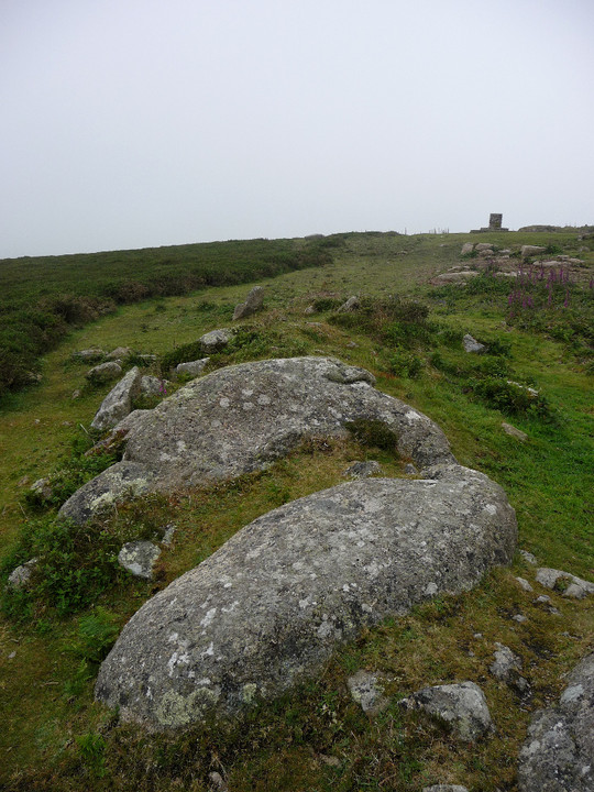
Some massive stones are incorporated into the long mound.

The long cairn from the northeast.

The round cairn 30m to the south of the main chambered cairn. On a clear day, you can see the Isles of Scilly from here...

Mutilated round cairn 30m to the south of the chambered cairn.

Bent out of shape – seen from the south, the full extent of the damage done to the once-round cairn is apparent.

Huge slab on top of the chambered cairn.

This is a big cairn, for all the damage done.

Ruined structural material on the top of the chambered cairn, on a day of no visibility.


Long slab and naturally worn basin in the cairn.

Looking SW towards Land’s End and a near invisible Longships lighthouse.

The very fine Mayon Cliff cairn, on a less than very fine morning.

The curving double rampart, seen from the north. The silhouetted walker provides scale.

Upright, presumably placed, boulders inside the fort.

Looking back up the fort’s interior, from the seaward end. Note row of apparently placed boulders, far right.

Further impregnable approaches. Looking towards Land’s End and Longships.

Sea and sheer cliffs provide the defence needed from the west.
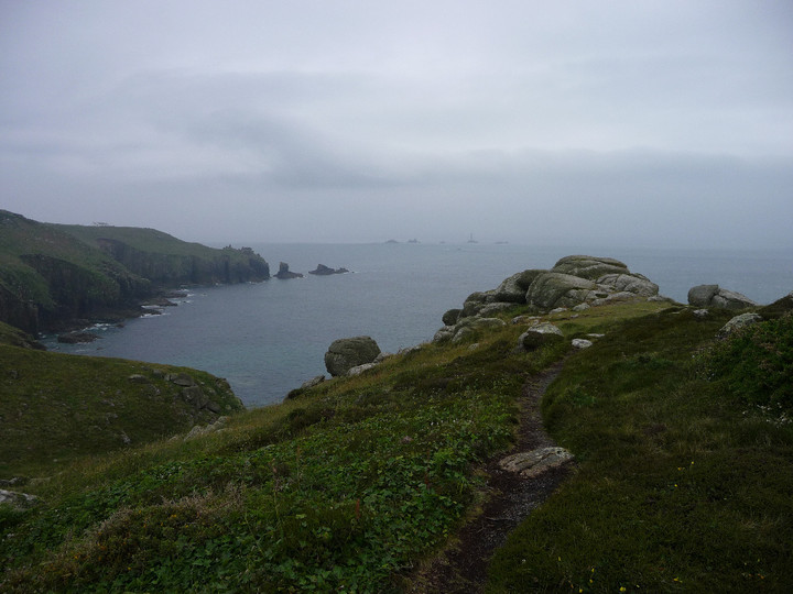
The interior of the fort contains a number of rocky outcrops.

Still-impressive stonework flanks the entrance to the fort.

Looking SE across the cairn, down the Rhondda Fawr.

The little cairn is much clearer than on my previous visit, especially as the bracken growing from the robbed centre has gone. Looking north across Rhondda Fawr to Mynydd Tynewydd.

Maindy Camp is the flattened area in the centre, just above the cloud-shadow. Viewpoint is Tarren Felen Uchaf, near the Cwm Ian cairn.

Looking north across the Rhondda Fawr to Mynydd Tynewydd. Pen y Fan and the central Brecon Beacons can be seen from here, beyond the wind turbines, but were very faint in the haze on this visit. An answer to Carl’s question about whether they have nice days here, anyway.

Although the barrow itself may not be the most impressive, its upland positioning is pretty good. Seen from the cliffs of Craig Ogwr to the east.

Landscape context for the Mynydd Ton and Mynydd William Meyrick cairns (Garn Fawr and Garn Fach). Seen from the eastern slopes of Werfa, across the head of the Ogmore Valley.

Landscape context for the position of the cairn overlooking Cwm Ogwr Fawr/Ogmore Valley. Seen from Bwlch yr Afan to the north.

Crug yr Afan seen prominently on its hilltop from the slopes of Werfa, to the SW.

Despite some poor treatment, this remains an excellent monument. The “upper” and “lower” cairns can be easily distinguished from the south.


