
Possible kerbing on the south side of the cairn.
Image credit: A. Brookes (8.6.2013)

Possible kerbing on the south side of the cairn.

Looking due south across the shattered “upper” cairn. The hill directly ahead is home to Carn yr Hyrddod, while the Ogmore Valley falls away to the left of centre.

Looking SSE. The hill on the far left is Mynydd Ton, boasting yet more Bronze Age cairns.

Small upright at the base of the “upper” cairn, possibly part of a kerb.

Looking over the wrecked top of the cairn, showing the concrete block reported by Carl, which I think might be the remains of a trig pillar, fallen into the central scoop. The big hill on the far skyline is the near-2,000ft Craig y Llyn, topped with several of its own cairns.

Arriving at the cairn from the north, thankful that the mud surrounding the monument has been baked hard.

Anyone looking to find the ring cairn could look out for this sizeable natural boulder next to the track to the south (the boulder is visible from the track whereas the ring cairn, being elevated above the track, is not). The ring cairn can be seen occupying the flat ground behind.

Archive picture showing the view across the field towards the fort, taken from the road to the north. The foreground is occupied by the “lost” long barrows that have given rise to the amazing finds in 2013.


Looking south from the entrance across the valley below.

Fallen slabs at the southern entrance into the ring cairn.

General view across the interior of the ring cairn. The greener line below the trees is the bank.

The summit cairn is built at the eastern end of an oval ridge, the western end of which is an outcrop of exposed slabs.


Mynydd Blaengwynfi summit cairn, looking ENE-ish.

Mynydd Blaengwynfi summit cairn, in its clearing amidst modern forestry.

Bachgen Carreg from the SW, where the mound appears most prominent.

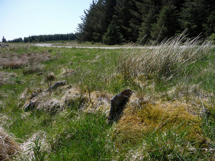
Bachgen Carreg cairn, showing apparent kerbing.

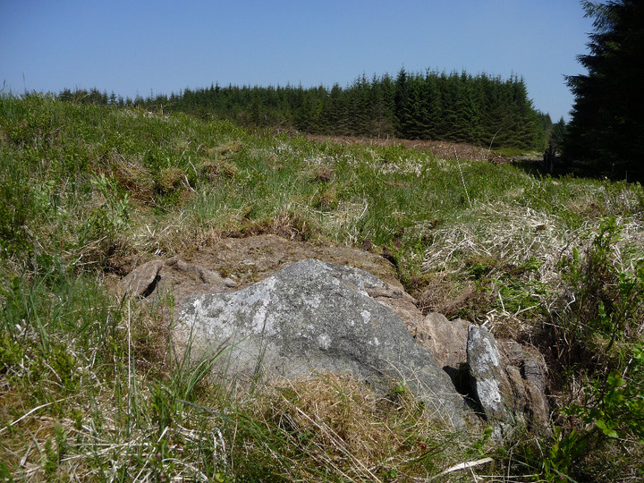
Looking NE. The block of forestry to the NW of the cairn shown on my 1/25000 map has been felled, allowing the full light of day to shine on the site once more.

Coflein doesn’t mention anything structural, but this looks awfully like a cist – note in particular the two upright slabs placed at right angles, at the top of the picture.
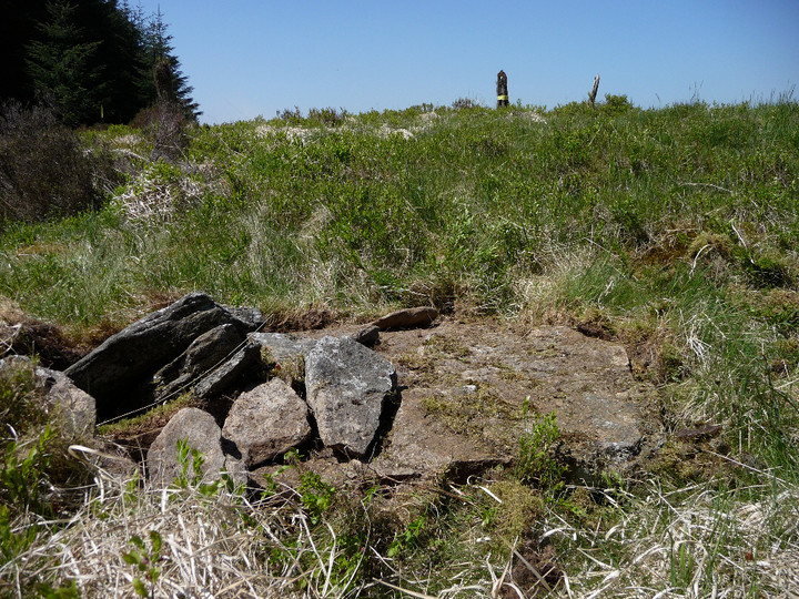

General view of the cairn, looking SW.

Additional landscape context for the settlement, perched on the lip of the escarpment. Seen from Pen-pych to the south.

The walk up to Carn-y-Wiwer from the floor of the Rhondda Fawr valley via Cwm Lluest passes a lovely series of waterfalls. Lost on the cairn-builders? Doubtful.

Hatterrall Hill (centre) framed by Mynydd Pen-y-Fal/The Sugar Loaf (left) and Ysgyryd Fawr (right). The hillforts of Twyn-y-Gaer and Pentwyn Camp can also be seen below the hill. Viewpoint is Ysgyryd Fach.

Ysgyryd Fawr seen from its little sibling, Ysgyryd Fach to the south. Hatterrall Hill at the southeastern tip of the Black Mountains rises on the left.

Mynydd Pen-y-Fal/The Sugarloaf rises above Abergavenny, Usk Valley to the left, Black Mountains to the right. Seen from Ysgyryd Fach.

Blorenge, seen from footpath east of Abergavenny Station.


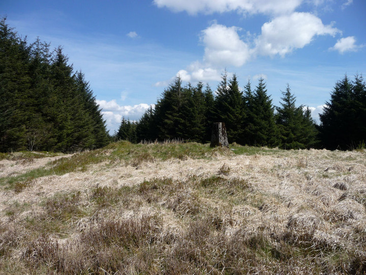
The apparently undisturbed top of Garn Fach. Much of the surrounding forestry is being felled to make way for a wind farm.
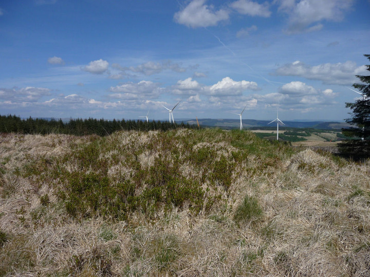
The grassy mound of Garn Fach, looking NE-ish.

Y Carn Bica stands in a little oasis of clearing at a meeting of tracks through dense conifer forest.

There’s not much visible stonework in the mound of Y Carn Bica, and what can be seen is quite small.

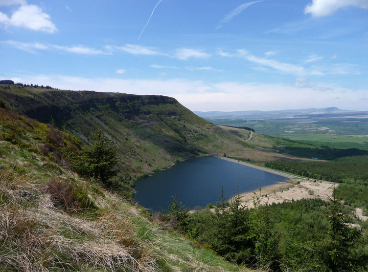

At the foot of the escarpment that Garn Fach and Y Foel Chwern perch above is the lovely Llyn Fach. Coincidence? Seems unlikely. Iron Age votive deposits have been found in its larger companion Llyn Fawr. The backdrop is provided by the much be-cairned mountains of Y Mynydd Du and Fforest Fawr.

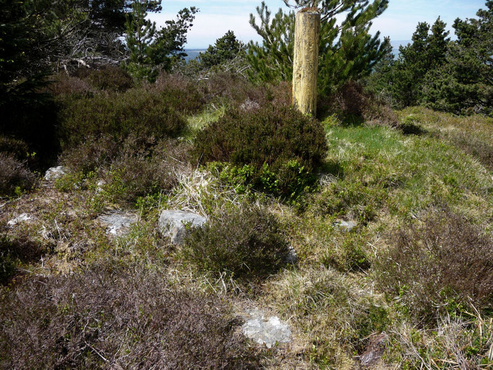
Detail of the stones comprising the cairn of Y Foel Chwern. Note inexplicable sawn-off post.

Overgrown Y Foel Chwern from the west.

Y Foel Chwern, the most northerly of the four cairns on Craig y Llyn. The mountains of Y Mynydd Du can just be seen peeking through the trees.

One sizable slab on the half-buried mound of Craig-y-Pant cairn.

A battle through the brush gives some limited access to Craig-y-Pant cairn, but the details remain largely hidden.
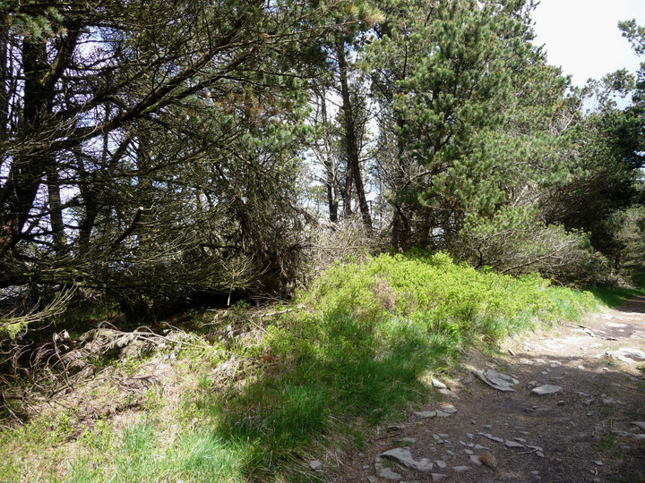
The heavily overgrown Craig-y-Pant cairn, approached from the SW.

Carn Foesen enjoys extensive views to the south, as far as Werfa (centre). The post in the foreground is the cast iron boundary marker mentioned in the Misc. post.

Carn Foesen has a decent spread of cairn material, suggesting that this was a fairly substantial cairn.