

thesweetcheat

Yr Eifl from Dinas Dinlle, at the end of a walk that began under its crags.
Image credit: A. Brookes (9.5.2016)

The scooped top of the round barrow/signal station/whatever inside the fort.
Image credit: A. Brookes (9.5.2016)

Parts of the rampart have been topped with wooden slats in an attempt to reduce erosion.
Image credit: A. Brookes (9.5.2016)

The curve of the eastern rampart. The skyline is filled with the mountains of northwest Wales, Yr Wyddfa and Mynydd Mawr on the left and the Nantlle ridge across the centre.
Image credit: A. Brookes (9.5.2016)

The view over the northern ramparts. The dark line on the horizon is Ynys Mon, steadily drawing closer on the coast path now.
Image credit: A. Brookes (9.5.2016)

Looking southwest towards Yr Eifl and the Llyn.
Image credit: A. Brookes (9.5.2016)

Image credit: A. Brookes (9.5.2016)
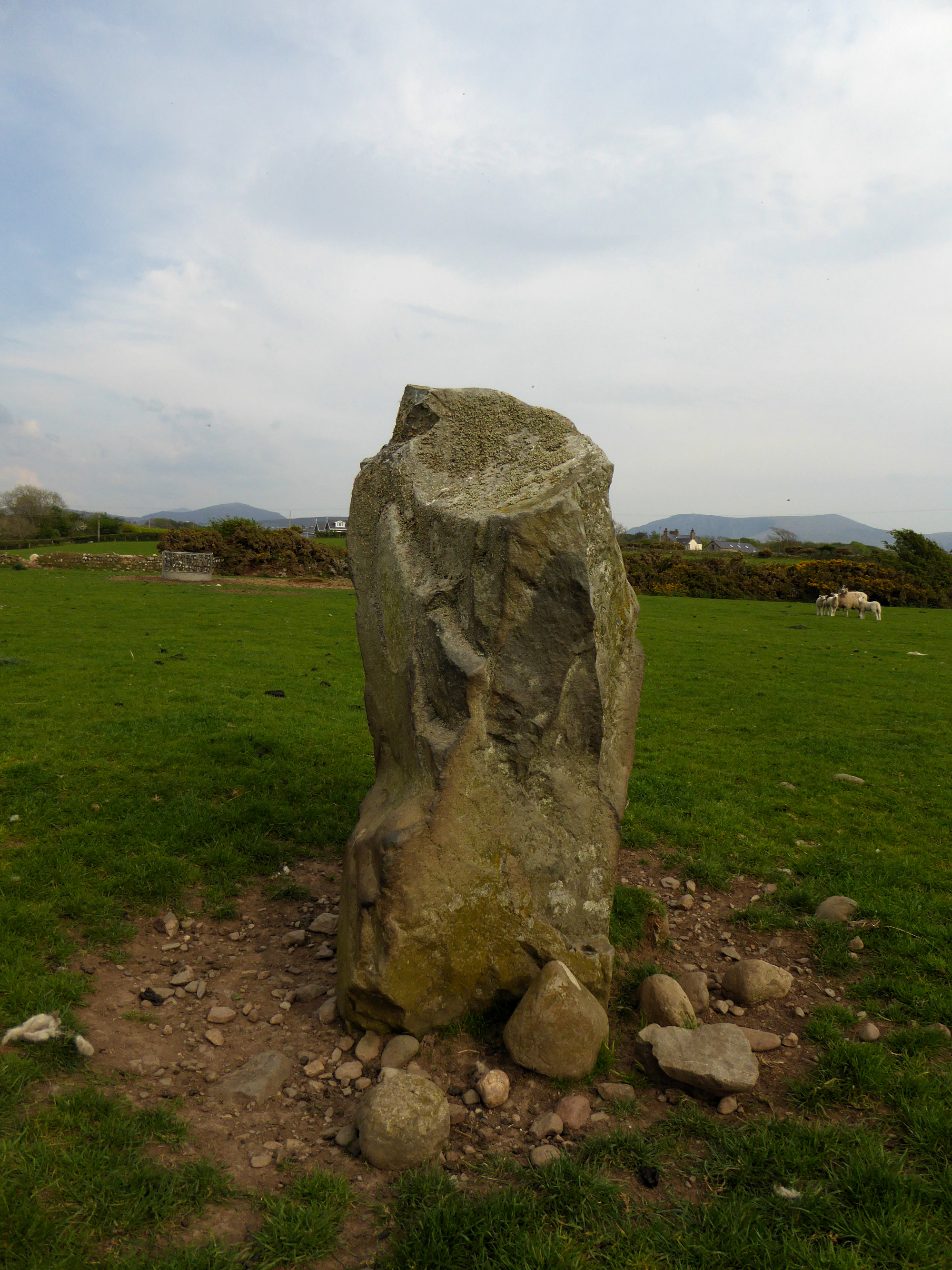
Looking east to a backdrop of Mynydd Mawr (left) and Craig Cwm-silyn on the Nantlle ridge (right).
Image credit: A. Brookes (9.5.2016)


Y Foel is the green, rounded hill, right of centre. To the left are three cairn-topped mountains of the Nantlle ridge (Craig Cwm-silyn, Garnedd Goch and Mynydd Graig Goch).
Image credit: A. Brookes (9.5.2016)


There is a ruined Bronze Age cairn on the prominent hill, far left, now built into the field wall.
Image credit: A. Brookes (9.5.2016)


Looking southwest towards Gyrn Goch and Yr Eifl.
Image credit: A. Brookes (9.5.2016)


Deeply carved cupmarks on the capstone.
Image credit: A. Brookes (9.5.2016)

Caernarfon Bay behind, the low coastline of Ynys Mon just visible far right.
Image credit: A. Brookes (9.5.2016)

With Gyrn Goch and Gyrn Ddu behind.
Image credit: A. Brookes (9.5.2016)

Ffynnon Beuno (see Folklore posts).
Image credit: A. Brookes (9.5.2016)

The northwestern peak, Garn For, drops straight down to the sea. The cairn is on top of the summit, balanced precariously above the ongoing quarrying.
Image credit: A. Brookes (9.5.2016)

Yr Eifl’s main summit (left) and Garn For (right), both topped with cairns. From Merbwll to the northeast.
Image credit: A. Brookes (9.5.2016)

St Aelhaiarn’s Well (see folklore posts), now kept locked.
Image credit: A. Brookes (8.5.2016)


From the hillside below the magnificent Tre’r Ceiri hillfort.
Image credit: A. Brookes (8.5.2016)


The southern entrance. Carn Fadrun and Garn Boduan can be seen in the distance.
Image credit: A. Brookes (8.5.2016)


Looking towards becairned Mynydd Carnguwch, with the south coast of Lleyn between Pwllheli and Llanbedrog beyond.
Image credit: A. Brookes (8.5.2016)

The magnificent elevated view of the settlement buildings, presided over by the bulk of Yr Eifl’s tallest peak.
Image credit: A. Brookes (8.5.2016)

The Bronze Age cairn on the summit, inside the fort.
Image credit: A. Brookes (8.5.2016)

Looking towards a hazy Yr Wyddfa (right skyline) and Gyrn Ddu.
Image credit: A. Brookes (8.5.2016)

Looking down on the western entrance, showing how the stonework extends considerably beyond the width of the wall, in order to form a narrow passage.
Image credit: A. Brookes (8.5.2016)

Imposing western entrance through the inner rampart. The stonework lining the passage extends out from the wall itself.
Image credit: A. Brookes (8.5.2016)

Entrance through the lower/outer rampart. From here the path climbs fairly steeply to the much more powerfully guarded inner entrance.
Image credit: A. Brookes (8.5.2016)

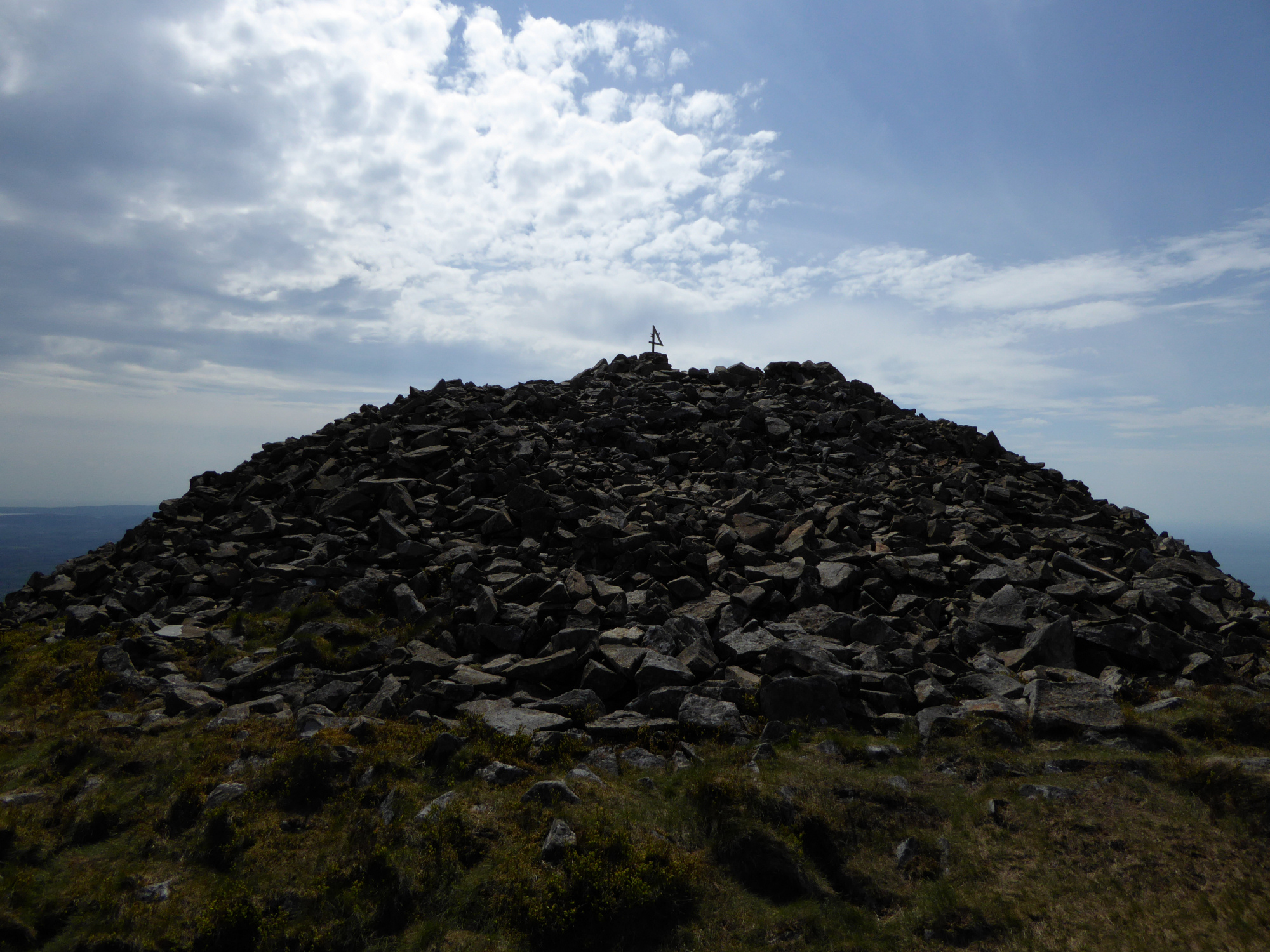
The odd thing mounted on the trig pillar is a metal number “4”, with an “A” and “H” affixed to its sides. I have no idea what it is meant to signify.
Image credit: A. Brookes (8.5.2016)

Looking northeast from the summit cairn. Yr Wyddfa crowns the centre skyline, with the Carneddau and Glyders to the left, the Nantlle ridge in front to the right, Moel Hebog to the right again and the Moelwyns far right. The ramparts of Tre’r Ceiri are visible on the edge of the shot, right middle.
On a clear day the Wicklow Mountains, Isle of Man and Pembrokeshire can be seen from Yr Eifl.
Image credit: A. Brookes (8.5.2016)

The top of the summit cairn has been messed about to make an inevitable shelter, but the cairn is so large it seems less intrusive than might normally be the case.
Image credit: A. Brookes (8.5.2016)

Looking southwest from the summit cairn. G/F sits by the southwestern cairn and admires the magnificent views.
Image credit: A. Brookes (8.5.2016)

The massive summit cairn from the southwestern cairn. Beaches of Ynys Mon to the left, mountains of Snowdonia to the right.
Image credit: A. Brookes (8.5.2016)

The low southwestern cairn, now surmounted with two modern stone piles and difficult to distinguish from the rocky surface of the summit ridge. Looking south towards Pwllheli and Llanbedrog.
Image credit: A. Brookes (8.5.2016)

Looking down on Garn For (Pen Bwlch Yr Eifl), the northwestern of the three summits of Yr Eifl, from the cairns on the central summit. The cairn on Garn For is placed precariously above the ongoing quarrying of the peak’s north face. Hazy today, but Holyhead Mountain at the tip of Ynys Mon can be seen on the horizon above Garn For.
Image credit: A. Brookes (8.5.2016)

Looking southwest across the low southwestern cairn. Many prehistoric sites are visible on the peninsula below, most notably the superb hillforts of Carn Fadrun, Garn Boduan and the long promontory of Trwyn Porth Dinllaen.
Image credit: A. Brookes (8.5.2016)