Round the back of the long barrow is its neighbour, a similarly flattened round barrow. Both this “West” long barrow and the “North” one were given accompanying round barrows later on.
Image credit: Copyright waived UncleRob
Round the back of the long barrow is its neighbour, a similarly flattened round barrow. Both this “West” long barrow and the “North” one were given accompanying round barrows later on.
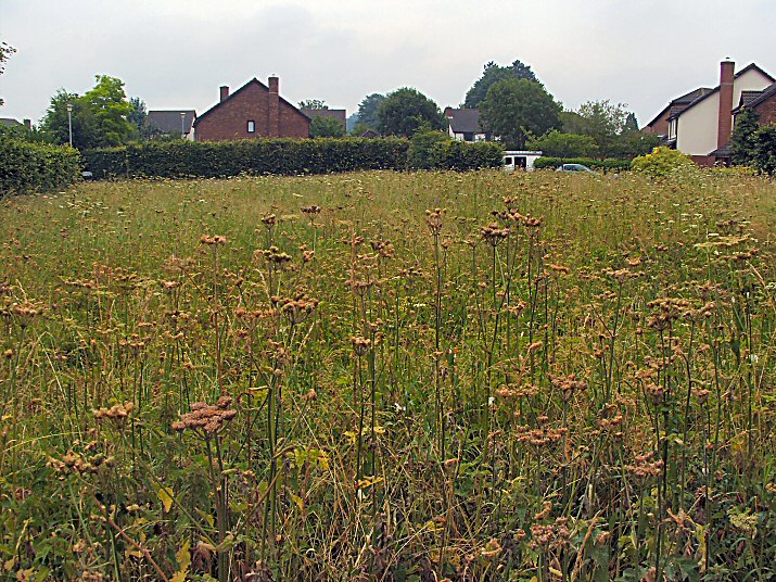
Not the most inspiring of sites in its suburban setting but at least some has been preserved apart from the bit trashed by the road.

Closeup of plan.

Notice board at the entrance with interpretation of the other barrows in the area including another LB.
Where is it? Although see my notes.
Details of long barrow on Pastscape
(SU 472361) Long Barrow (OE) A long barrow situated on the chalk just north of Worthy Down at slighly over 350’ above OD.
The barrow is 340’ long and orientated NE-SW. It is cut across by a road, to the west of which some 90’ of the mound is well preserved and grass grown: it is 60’ wide and 5’ high. On the south side the flanking ditch can be traced; a hedge runs along the north side and the ditch is obscured by a garden. A flint end-scraper was picked out of the barrow on the west side of the road.
To the east of the road it is under cultivation and has been reduced by ploughing to a height of c.1”. The ditches are parallel, showing as dark lines on the air photograph, and continue round the east end as at Holdenhurst. No indications of burial chambers can be detected within the east end of the mound.
In the same field, a short distance east of the long barrow is a round barrow, c. 80’ in diameter and 3’ high, much reduced by ploughing.
(’A’ – SU 47233607) A large long barrow 110m long and 24m broad. The eastern part of the mound has been ploughed down and averages 0.5m in height. When visited this part had been freshly ploughed and the ditch was visible as a dark soil mark, 6m wide, to either side and around the eastern end. The remainder of the mound, separated from the ploughed portion by a lane, is under grass and reaches a maximum height of 0.9m the extreme west and seems to have been levelled. A fragment of the ditch, 90.3m deep, survives on the south side.
(’B’ – SU 47323608) Bowl barrow, 24m in diameter and 0.4m high. Freshly ploughed, the ditch is visible as a dark soil mark 2.5m wide.
SU 47433610. (South Wonston East) A fine long barrow situated in a strip of woodland behind small-holdings. It is oriented ENE-WSW with the highest, broadest, end at the east. It measures some 24.0m maximum width and 1.6m maximum height, and at the west end by a hedge so it was probably a little longer. There is no trace of a ditch on the south side where an occupation road serving small holdings exists, and only a vague terracing can be distinguished about the middle of the north side.
The other long barrow and the bowl barrow survive as described but are subject to annual ploughing. It is perhaps significant that the bowl barrow is situated on the line of the long axis of the long barrow at SU 47433610 which is scheduled. Surveyed at 1:2500. A greenstone adze, identified by Winchester City Museum as NE/BA was found about 1958 by Mr G Griffin in his garden at Lahinch, West Hill Road, South Wonston at SU 47173606. It is now in Winchester City Museum. (7)
There are two or three long barrows recorded for this area. I was looking for the one mentioned in “Hampshire Treasures” at location SU479362 but there is no record of it on Magic or the OS maps.
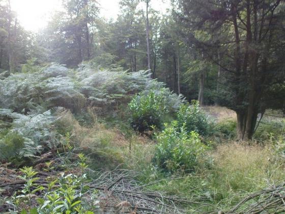
It would have been at a place called “Bayley’s Clump” about 1km to the East. When I looked into this small copse the nettles and undergrowth was chest high so a winter visit is on the cards.