
From PSAS 1902/3 – an article on ‘Stone circles of North East Scotland’.
archive.org/stream/proceedingssoci04scotgoog#page/n152/mode/1up
From PSAS 1902/3 – an article on ‘Stone circles of North East Scotland’.
archive.org/stream/proceedingssoci04scotgoog#page/n152/mode/1up


Looking SE.

Looking SW.

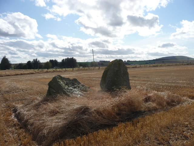
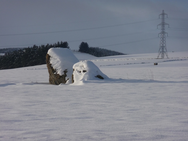
These are substantial stones.

From the NE.


Logie Newton quartz kerb cairns are on the Kirk Hill behind.
Mither Tap sneaks into the far background.

Upper Third farm just behind.

The heartland of rural Aberdeenshire.

Tillymorgan in the background.

From Logie Newton.


Another “(rems of)“. Taken from the road. 17/3/05
Upper Third is situated beside the farm of same name beside the Thornliebank to Fisherford road. No more than 20 meters into a field. Two stones remain one stands and possibly the other has fallen.
Visited or driven past almost every Thursday.


