The Modern Antiquarian. Stone Circles, Ancient Sites, Neolithic Monuments, Ancient Monuments, Prehistoric Sites, Megalithic MysteriesThe Modern Antiquarian


Abra Barrow

Barrow / Cairn Cemetery

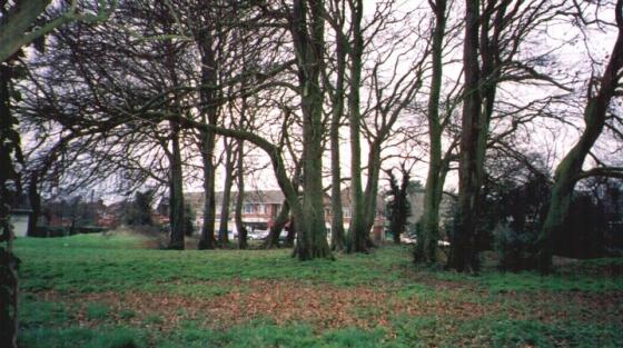
<b>Abra Barrow</b>Posted by jimitImage © Jimit 08.03
Also known as:
  • Monument No. 236090

Nearest Town:Basingstoke (14km ENE)
OS Ref (GB):   SU503473 / Sheet: 185
Latitude:51° 13' 19.62" N
Longitude:   1° 16' 46.73" W

Added by jimit


Discussion Topics0 discussions
Start a topic


Show map   (inline Google Map)

Images (click to view fullsize)

Add an image Add an image
<b>Abra Barrow</b>Posted by jimit <b>Abra Barrow</b>Posted by jimit

Fieldnotes

Add fieldnotes Add fieldnotes
"Bowl Barrow 32M by 1.8M high. 2 ring ditches indicating 2 sites of other barrows"
Hampshire Treasures (Edited)

H.T. says this is 320M across which stirred the imagination but logic prevailed and, as proved correct, the edited version is nearer the truth.
Pretty well preserved with only a tiny chunk taken out by an old (?) farm track on the N. The ring ditches are probably only visible as crop marks from the air.
In this area of gently rolling chalk it commands quite extensive views including the upper reaches of the Test valley.
Almost impossible to photograph as it seems to disappear from sight within a few meters and there are no trees to climb to get a better view.
No info as yet on the origin of the name but it would be great if one of the other barrows was called "Cadabra"!
Disabled: Parking (with permission) at farm but then quite a long hill to site on good grass and track.
jimit Posted by jimit
10th August 2003ce
Edited 8th December 2003ce

Miscellaneous

Add miscellaneous Add miscellaneous
Details of barrow on Pastscape

A bowl barrow situated on the crest of a low chalk ridge running in an east-west direction across Southley Farm. It commands a prominent position overlooking lower lying ground to the north, south and west. The barrow, known as Abra Barrow, is roughly circular and includes a central mound, about 1.8 metres high enclosed to the south east by an infilled ditch, up to 0.15 metres deep. The barrow has been spread and clipped by ploughing, and by the construction of farm lanes around the base, to give it a squared off appearance. Aerial photographs indicate that the infilled ditch continues around the barrow on the south and east sides. A round barrow situated beneath the hedgerow 50 metres to the south has been levelled, while a ring ditch, indicated by aerial photography 100 metres to the south east, remains fairly visible as a cropmark. Scheduled.
Chance Posted by Chance
7th June 2014ce