The Knave seen across Deborah’s Hole from Horse Cliff, close to another clifftop fort.
Image credit: A. Brookes (4.4.2015)
The Knave seen across Deborah’s Hole from Horse Cliff, close to another clifftop fort.

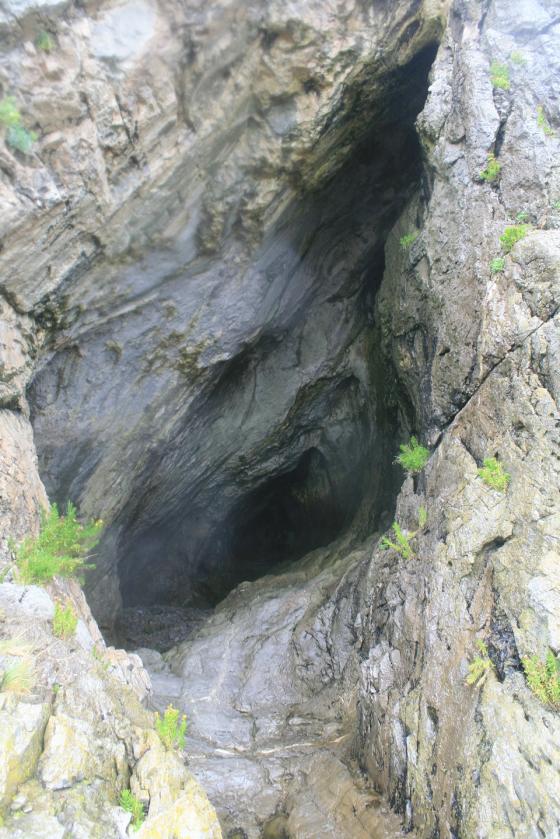
The rock cut ditch, providing the stone for the rampart.

Rhossili Down rises on the right.


A wide expanse of limestone is exposed below the fort at low tide. Looking towards Worm’s Head.

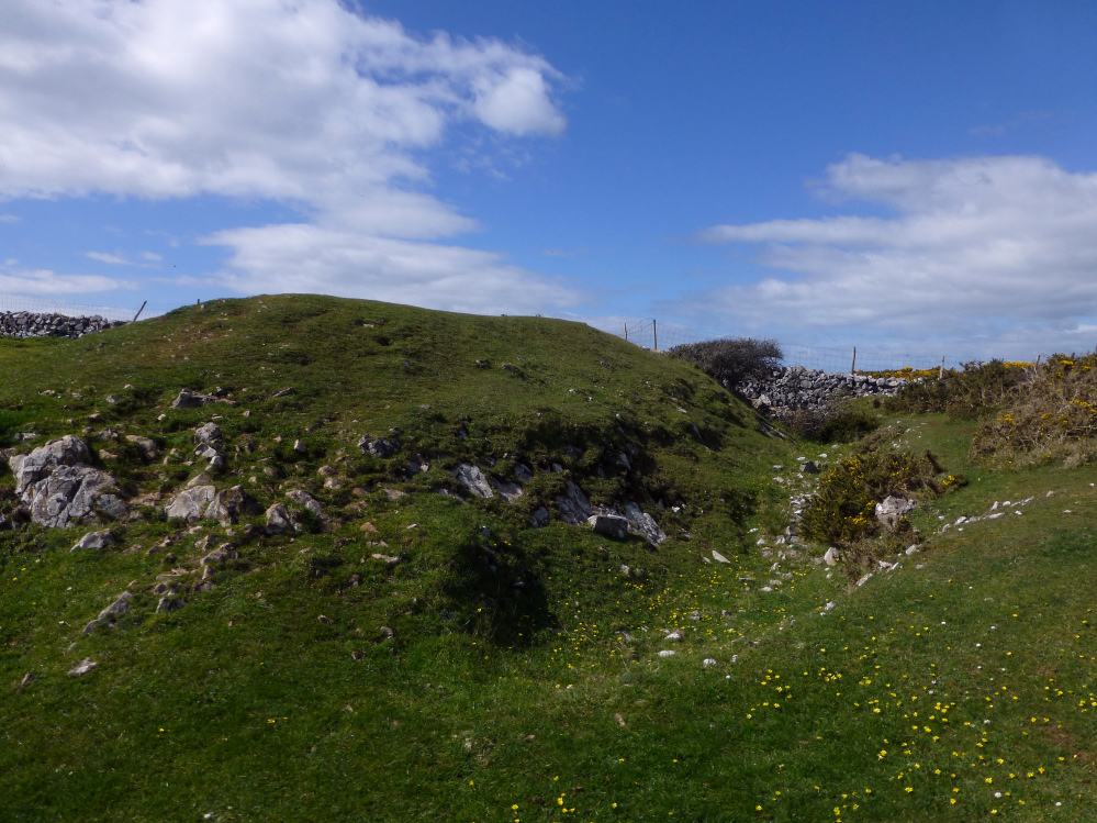
The inner rampart (the outer rampart is under the gorse along this middle section).

Southwestern end of the rampart.

The outer rampart, with the inner rampart beyond.

Looking across the interior of the fort (inner rampart visible). Rhossili Down is the hill of the left skyline.

The seaward side of the fort falls near-vertically down to an extraordinary ski-jump of a cliff below. Horse Cliff fort is visible upper left.

Retrospective of the fort from the NW. The fort rises prominently above the surrounding fields.

The northwestern corner of the rampart.

Natural defences on the southeast.

Approaching the outer rampart from the northeast.
Visited 30.9.13
Directions:
Midway between Thurba cliff/promontory fort and Paviland cave. The Knave fort is a short walk south off the coastal path.
The coastline along this stretch of the Gower is particularly dramatic with the layers of rock forming the cliff rising high out of the water on a steep angle.
I was able to make out two lines of defence, the outer rampart now about 1m high, with the inner ramparts about 2m high.
The dreaded gorse covers part of the northern outer defences.
Not much else to add really.
Worth a look when walking this stretch of the coastal path.
Another site I’ve not visited, the Knave is a semicircular cliff fort with a bank and ditch on the inland side. The site was excavated in 1938 by Audrey Williams, and the remains of two huts were found, one of which had been burnt down. It’s thought that the Knave probably only served one or two families because of it’s relatively small size.