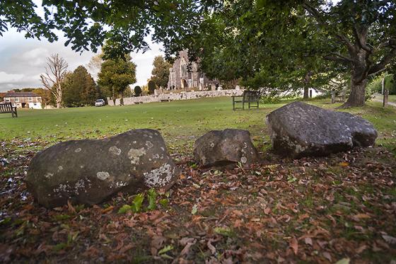
Hunter’s Burgh lies right on one of the major corners on the Downs, with views to east and west that disappear as soon as one travels either way. It has a clear shape from three sides, particularly approaching from the top of the hill. From the north, down the slope, the edge is very unclear and seems teardrop shaped.
To the East lies Eastbourne, and above it the Neolithic Combe Hill Causwayed Camp with its associated round barrows. to the west Firle Beacon, with its Long Barrow, and Mount Caburn, with its Iron Age hill fort and possible earlier use in the Bronze Age.
This is the largest barrow on Wilmington Hill. If I am right about the barrows on the summit they may only be smaller due to ploughing out, or similar activity, as they lie on level ground. Hunter’s Burgh’s saving grace may have been the slope it lies upon, suited only to grazing.
Or maybe it was always the largest, in which case why so far down the hill?


