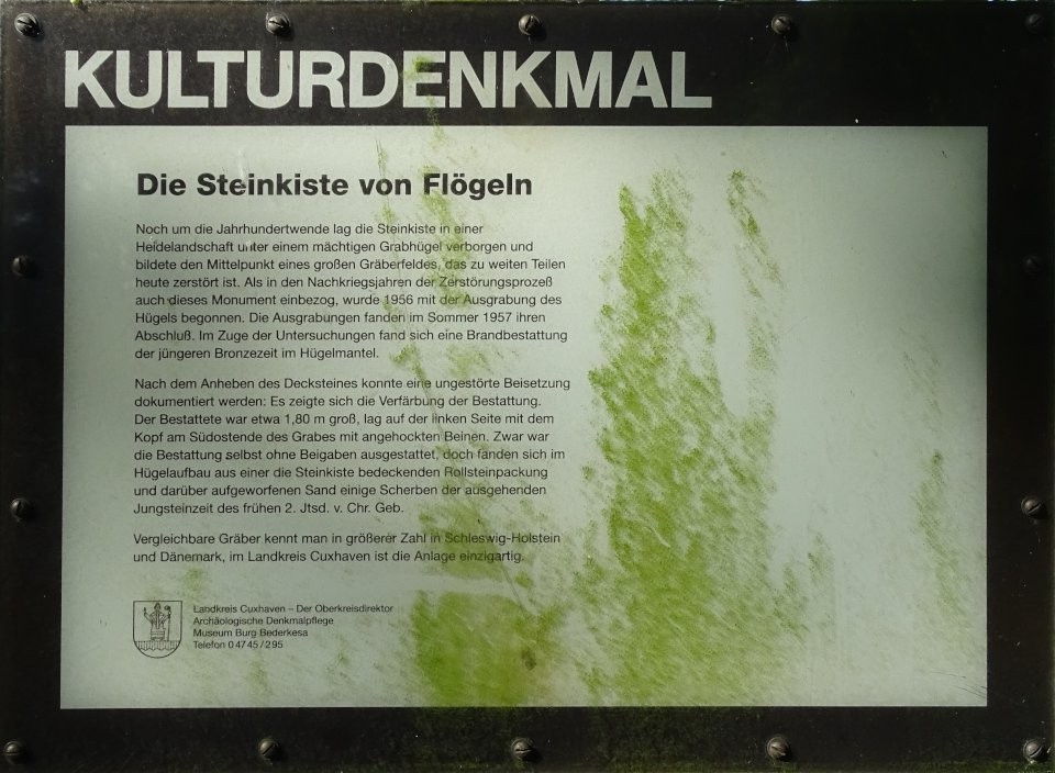
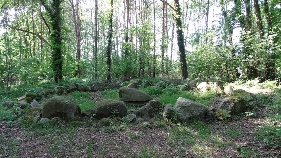
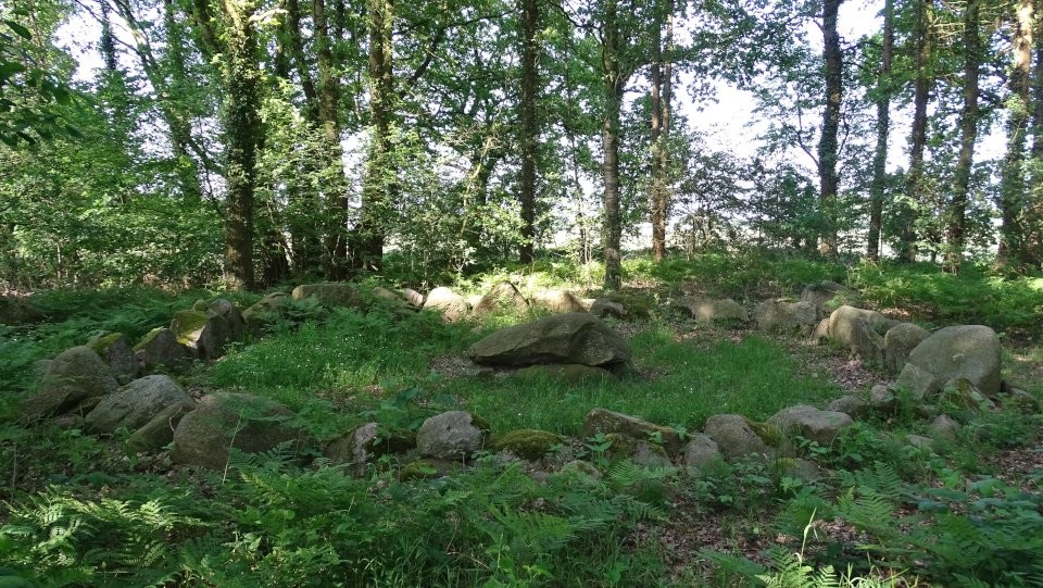
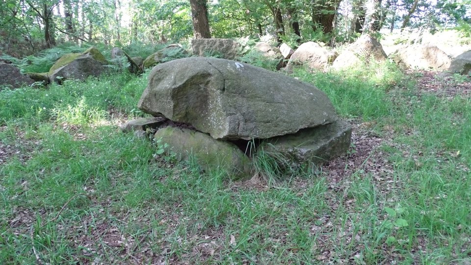
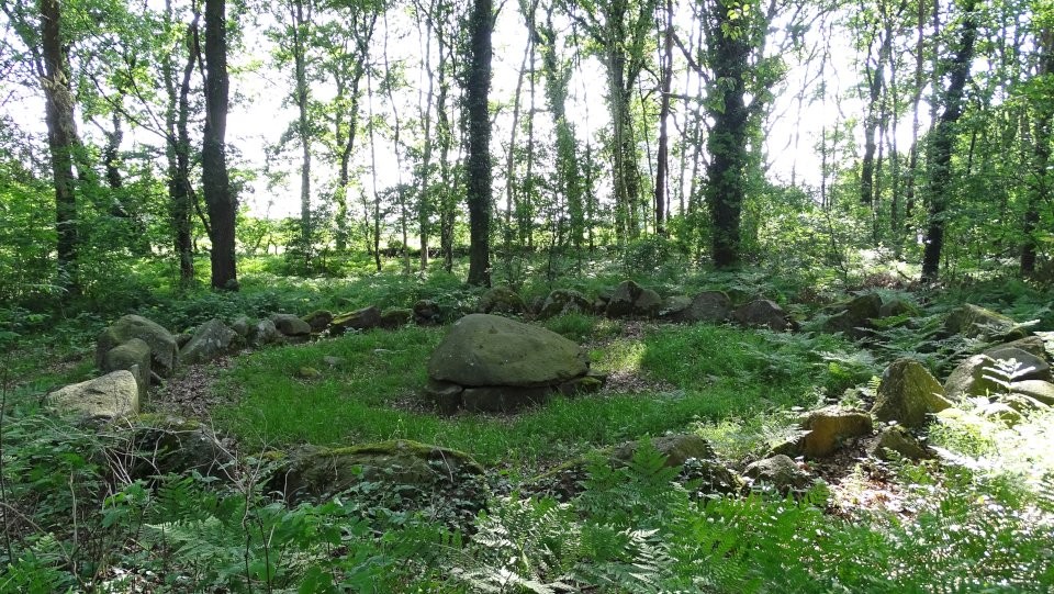
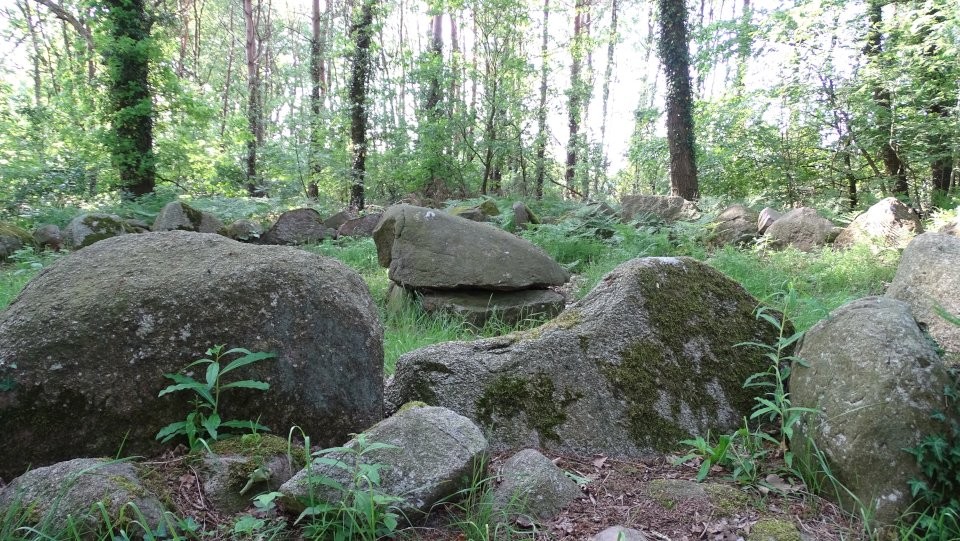
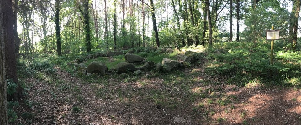
The stone cist of Flögeln was covered by a burial mound with a diameter of about 28 m and a height of 2.3 m. It formed the center of a large burial ground, which was archaeologically examined since 1956. The stone cist is eccentric in a round stone setting of 8.5 m diameter. The cist consists of five plate-like side stones and the capstone. It is 1.45 m long, 0.94 m wide and 0.52 m high. The bottom was mainly a 1.10 × 0.6 m stone slab.
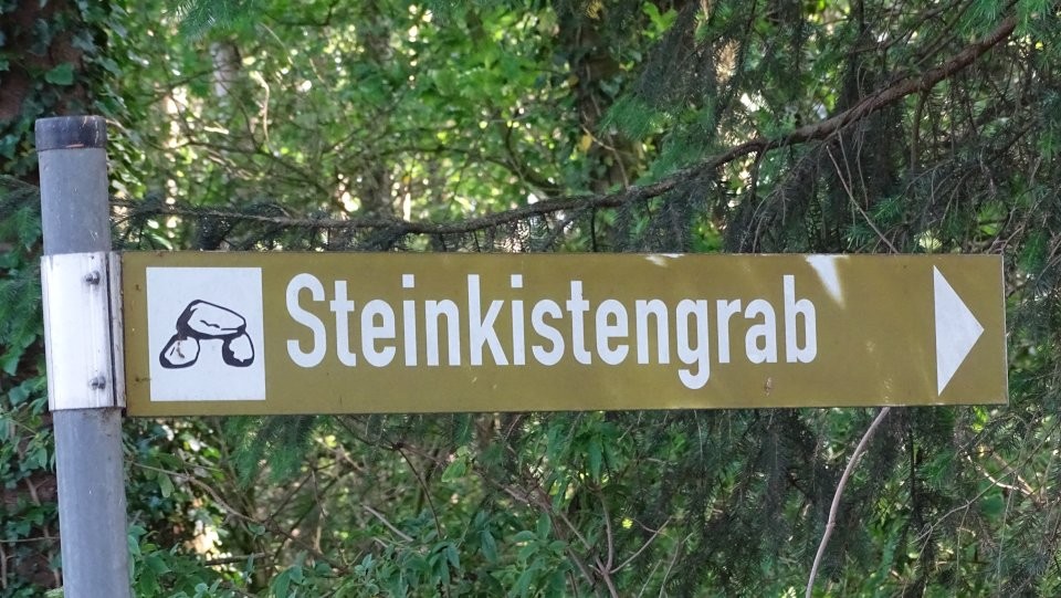
To get to the stone cist you drive from Westwanna (north) coming immediately after the village entrance of Flögeln to the right (west) into the street Im Seegen. Follow this road for about 2 km before turning left (south) and after another 500 m you will see the stone cist signposted on the right side of the road.
Even at the turn of the century, the stone cist was hidden in a heathland under a huge grave mound and formed the center of a large burial ground, which is largely destroyed today. When, in the post-war years, the destruction process also included this monument, the excavation of the mound began in 1956. The excavations were completed in the summer of 1957. In the course of the investigations, a cremation burial of the younger Bronze Age was found in the mound cover.
After lifting the capstone, an undisturbed burial could be documented: It showed the discoloration of the funeral. The buried was about 1.80 m tall, was on the left with his head at the southeast end of the tomb with his legs up. Although the burial itself was without grave goods, but in the hill structure of a stone cist covering the roll stone packing and sprinkled over sand some shards of the late Neolithic of the early 2 millennium BC were found.
Comparable graves are known in greater numbers in Schleswig-Holstein and Denmark, in the district of Cuxhaven, the site is unique.


 Maps / Plans / Diagrams: