

26-11-06
wolfy

26-11-06
wolfy

The Cop Stone with Knipe Scar in the background. Proving that there is intervisibility between the two sites.

The Cop Stone with Blencathra in the background


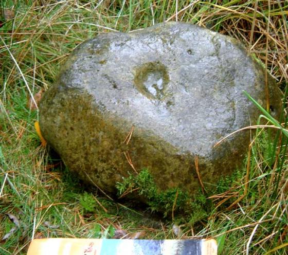
06/04. Is this smaller stone a remainder of the ring cairn that the Cop Stone was once part of?

06/04.


The west face of the stone. Popular with birds.

The 2 stones that could form an alignment. Moor Divock SE is in the centre and beyond the stones.

This time I had someone with me for scale!

From Moor Divock SE, the Cop Stone can be seen through these two standing stones.


The Copstone can be seen easily from the road. A short walk up the gentle hill and the stone is upon us.
Standing in the trough that goes all round it the stone is nearly 6ft tall, leaning slightly to the northish
helpfully pointing us in the direction of all the other little lovelies that hide amongst the grasses up on
the moor. The stone is nice and smooth and at the tip I kinda saw it as a bit phallic, and at the bottom
were some probably natural markings that almost looked like ancient carvings, lozenges and a spiral
but it was more than likely just me after a long walk I was beginning to see the ancient world everywhere.
It’s a canny old stone this is. It has a strange expression on it’s face. It looks like it’s gracefully drifting across the moor, with a pre-occupied, ‘I can’t stop now, sorry’ sort of vibe.
Having said that, I thought it would be bigger too. Preconditioned by Thunder Stones further down Cumbria I guess.
I was also a bit interested in the other stones poking just up through the turf in the immediate vicinity. You can nearly convince yourself there’s a circle in there if you try. A circle with a shallow pit in the centre, even. Methinks Stubob’s comments are correct, if this was a cairn circle, the kerb is still traceable, and someone’s had a go at the middle.
The path is quite good from the SW, I’d say if you were looking to visit Moor Divock sites, start at this end, not at Pooley Bridge. There were a few cars parked where the road runs out of fence and hedge.
Make sure you’ve suspension if you’re on a bike though, it’s darn bumpy on the behind without it. More than 5 gears wouldn’t go amiss either.
To add to Ironman’s and Chris’ comments about the size of the Cop Stone.
When viewed at a distance from various points on the moor the stone appears to be much larger than it actually is when you’re up close and personal like.
As usual I find myself agreeing with Ironman, I had expected the stone to be taller. In Jacquetta Hawkes guide to British Archaeology the Cop Stone looks huge but standing next to it, it is still a respectable 120cm tall. Between it and Moor Divock South are a pair of standing stones about 2 metres apart and the tallest being about a metre high. If they form part of alignment then it is northwest-southeast and points roughly in the direction of The Cockpit
31/12/02ce A return visit – again I was initially disappointed, I’d once again got it in my head that this stone was bigger! Why I was so bothered I just don’t know. One of my shots shows it to scale, and looking at it now it doesn’t seem that small... The view did again, however, impress me. From here the ugly chimneys of the Shap granite works, belching great plumes of smoke, serve as a reminder of just how close you are to a lot of the other Cumbrian sites, all within pretty easy walking distance.
I’d been looking forward to visiting this site for quite a while. My walk took me from The Cockpit via the other Moor Divock sites. I must say I was a bit disappointed, I thought the stone would be bigger and that the surrounding stones would be easier to make out. It is worth looking here if you intend to visit the other Moor Divock sites. Size isn’t everything – the siting of this stone is fantastic, it links the Shap circles to Ulllswater which in turn leads to Castlerigg. An amazing collection of sites, separated by millennia, but obviously sited on very important trade routes.


