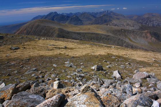
Some locations are more than a sum of their constituent parts... if you know what I mean? Dun Mor and its little neighbour Dun Beag reside upon the green ridge protruding into Loch Slapin, centre right (ish)
Image credit: Robert Gladstone
Some locations are more than a sum of their constituent parts... if you know what I mean? Dun Mor and its little neighbour Dun Beag reside upon the green ridge protruding into Loch Slapin, centre right (ish)

Guess it’s the most logical place to build a fort, to be fair. Pretty spectacular, too.
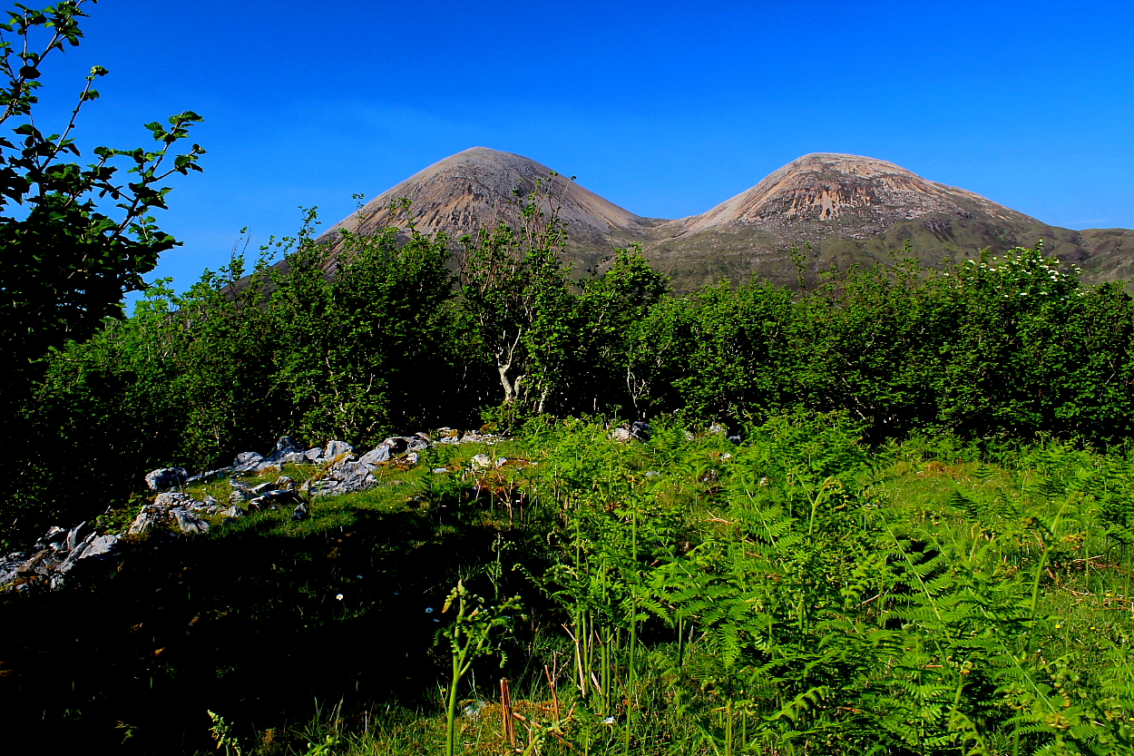
You can see why they’re called The Red Cuillin…. This could’ve been a superb site if the locals had let it be. But guess it’s been recycled to continue to serve the community.

Approaching from completely the wrong direction, to be fair.


The modern wall is a great pity. However echoes of what went before... the foundations, if you will... still remain.


If you have any sense.... I didn’t.... don’t try to come here along the ‘shoreline’ direct from Dun Beag. Listen to Les.
Viewed from the shore of Loch Slapin, about half a kilometre south of Torrin, Dun Mor rises as a tree covered dome.

Looking out from the cattle fold through its entranceway.

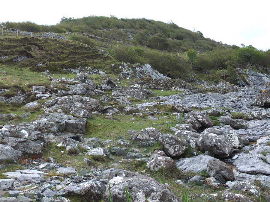
The interior of Dun Mor, its grassy summit ringed by scrub and its original stonework destroyed to build a huge cattle fold.

The walling of the cattle fold is of poor construction, and fabricated from fragments of the destroyed original fort wall.

This 2-metre tall section of the original dun walling has been incorporated into the cattle fold’s northwest corner.

The original dun wall from above, over a metre wide.

The short stretch of original dun wall, seen from above.

Seen from outside the northwest corner of the cattle fold, you can still see the formidable foundation courses of the original fortification.
Visited: May 23, 2017
After crossing a footbridge across the stream behind Torrin Outdoor Centre, a track follows the coast southwards as far as two cottages. Beyond the second cottage, a footpath can be found rising up the hillside towards Dun Mor. At length this meets a fence, over a metre high, but a strategically placed boulder assists its crossing, and the path continues beyond it into the scrub that encircles the summit of the hill.
This scrub is not impenetrable, and minimal route searching is needed to fight through it for perhaps 50 metres until a stone wall comes into view: this is the latter-day cattle fold that was constructed by destroying almost all the original stonework of the fort. This construction fills almost the entire area of the fort, which is grassy with a number of bedrock intrusions.
The only significant remaining stretch of the original wall of this fort stands in its northwest corner where huge stones reach to almost two metres (topped by a scattering of broken fragments that don’t belong there). From outside the cattle fold you can still see evidence of foundation courses of the walling, which was either double—or galleried—as shown in one of the photographs. At the far end of the structure (in the southeast) a few large foundation blocks remain in situ with the modern wall built over them.
Canmore description:
To the S of the township of Torran, on the summit of a long, elevated, rocky ridge rising from the E side of Loch Slappin, is Dun Mor. It stands about 100ft higher than the loch to the W, and about the same height above a hollow on the E, which cuts it off from the hills behind. The ridge is difficult of access except from the N, at which end is the entrance to the dun. The main axis of the fort runs N and S, along which it measures some 330ft internally, while it is some 120ft in breadth.
It has been defended by a massive stone wall, which far the greater part has been demolished to provide building material for a very large cattle-fold erected within its boundaries. So complete has been the destruction of this wall, that while it can be traced for nearly its entire length, only at the S end, on the SE arc and at the N end is any of the original building in position. A few of the larger foundation stones on the outer face of the wall remain undisturbed at the S end, and a short section of building to the SE has been preserved by being utilized as the foundation of the modern wall at this part. At the N end is a mass of tumbled stones 10ft in breadth and 3ft in height. The entrance is quite obliterated.