Somehow the cairn has survived agriculture.
Image credit: drew/amj
Somehow the cairn has survived agriculture.

Looking North East towards King Edward and 6 other cairns.

Looking South east.

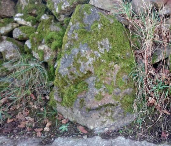
Moss covered cairn boulders with one or two added bits.

Grass covered on the northern side.

Looking South East. The cairn is to the left side of the wood.
A long time ago, according to Fred Coles, a large standing stone also stood here but unfortunately that has gone along with the cist and several urns. It is 13 meters wide and 0.8 high proudly looking down into the Deveron valley. This area is cairn central and quite a lot survive despite agriculture. Sadly tho, Denhead Wood has been used as a bit of a rubbish tip, various old machinery, plastic bags, concrete. (some of which has made it onto the cairn.)
Fortunately the present farmer, Hamish Slater, is quite proud of the cairn on his land and has had some of the rubbish taken away.
Carlinkist looks down on the River Deveron and the Turriff to Dunlugas/Eden minor road. Leave Turriff on the B9025 Aberchirder (Foggie) road and turn north just before the Deveron Bridge. Pull in at Boghead Farm and follow the track east up the hill to the clump of trees. The cairn is situated on the southern side.
Visited 27/3/2011.